Yegua Creek
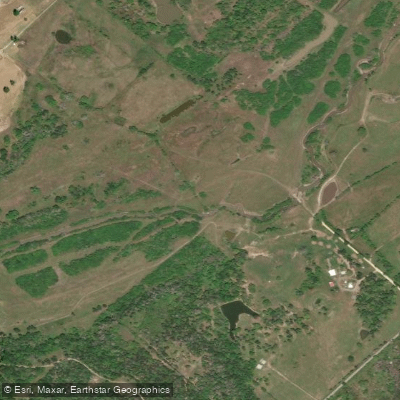
Yegua Creek
- Boat Ramps
- 0
- Access Points
- 0
- Campsites
- 13
Yegua Creek is a scenic waterway in east-central Texas, originating at the confluence of Middle Yegua Creek and East Yegua Creek in Lee County. The creek flows southeast for approximately 53 miles before emptying into Lake Somerville, a man-made reservoir created by the Somerville Dam. From there, the lower section of Yegua Creek continues for several miles before joining the Brazos River.
Paddling opportunities on Yegua Creek are diverse, with the most popular sections centered around Lake Somerville. The creek offers a mix of flatwater paddling on the lake and more secluded creek exploration upstream. Below Somerville Dam, paddlers can enjoy a 3-5 mile stretch of gentle current with occasional Class I rapids, ideal for beginners and intermediate paddlers. The difficulty of Yegua Creek paddling ranges from flatwater to Class I, making it accessible to a wide range of skill levels. However, paddlers should be aware of potential obstacles like partially submerged logs, especially in the upper reaches of the creek.
Spring and fall are ideal seasons for paddling Yegua Creek, offering comfortable temperatures and typically adequate water levels. Summer can be hot but still enjoyable, particularly in the shaded sections of the creek.
The creek's ecosystem supports a variety of flora and fauna. Paddlers may encounter diverse bird species, especially around Flag Pond, a 350-acre wildlife area accessible via a half-mile canal from Nails Creek. Key landmarks include the Somerville Dam, Nails Creek State Park, and Flag Pond. The creek's journey through changing landscapes provides paddlers with scenic views of different tree species and terrain variations.
Primary access points include the Highway 36 bridge in Somerville for the lower section, and Nails Creek State Park boat ramp for lake and upper creek access. The nearby towns of Somerville, Dime Box, and Giddings serve as convenient base camps for paddling trips.
Historically, Yegua Creek (Spanish for mare) played a role in early Texas settlement and was part of the region explored by Spanish colonists.
Safety considerations include checking water levels, especially for the section below Somerville Dam where flow can vary based on dam releases. Paddlers should also be prepared for potentially shallow water in the creek's upper reaches.
For those interested in multi-day trips, combining creek exploration with camping at Lake Somerville State Park offers an extended adventure. Paddlers can explore different sections of the creek and lake over several days, with options to camp at designated sites around the lake.
Yegua Creek provides a delightful paddling experience in the heart of Texas, offering a blend of lake and creek paddling suitable for a range of skill levels and interests.
Water access, boat ramps & amenities
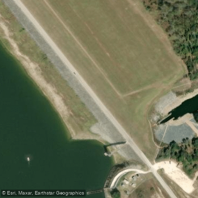
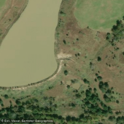
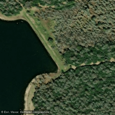
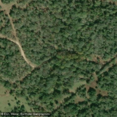
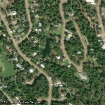
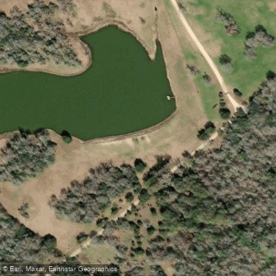
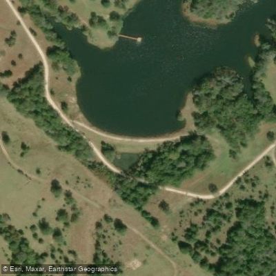
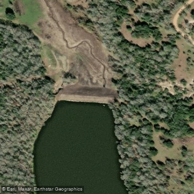
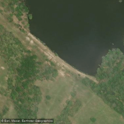
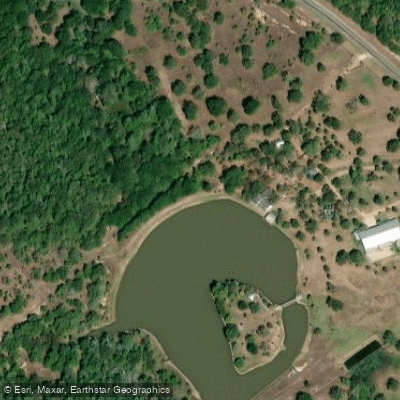
Learn how to get on Yegua Creek. Uncover great paddling access points, boat ramps, and all the facilities you need for an unforgettable day on the water. Some locations shown may border or include private property. Always check property boundaries and applicable regulations before visiting. PaddleWays's Public & Private Land layer can help you plan your access with confidence.
Paddle smarter with real-time insights
Whether you're en route and conditions shift or you're looking for the best spot based on current flows, we enable you to make informed decisions on the fly.








Find Places to Paddle

Over 400,000 Places to Paddle
Every user gets free access to launch points, boat ramps, and public property parcels.


Water and weather conditions (10 day forecast)
See the best times to paddle Yegua Creek and check the forecast before you go.
Yegua Ck nr Somerville, TX
Paddling near Yegua Creek

Brazos River
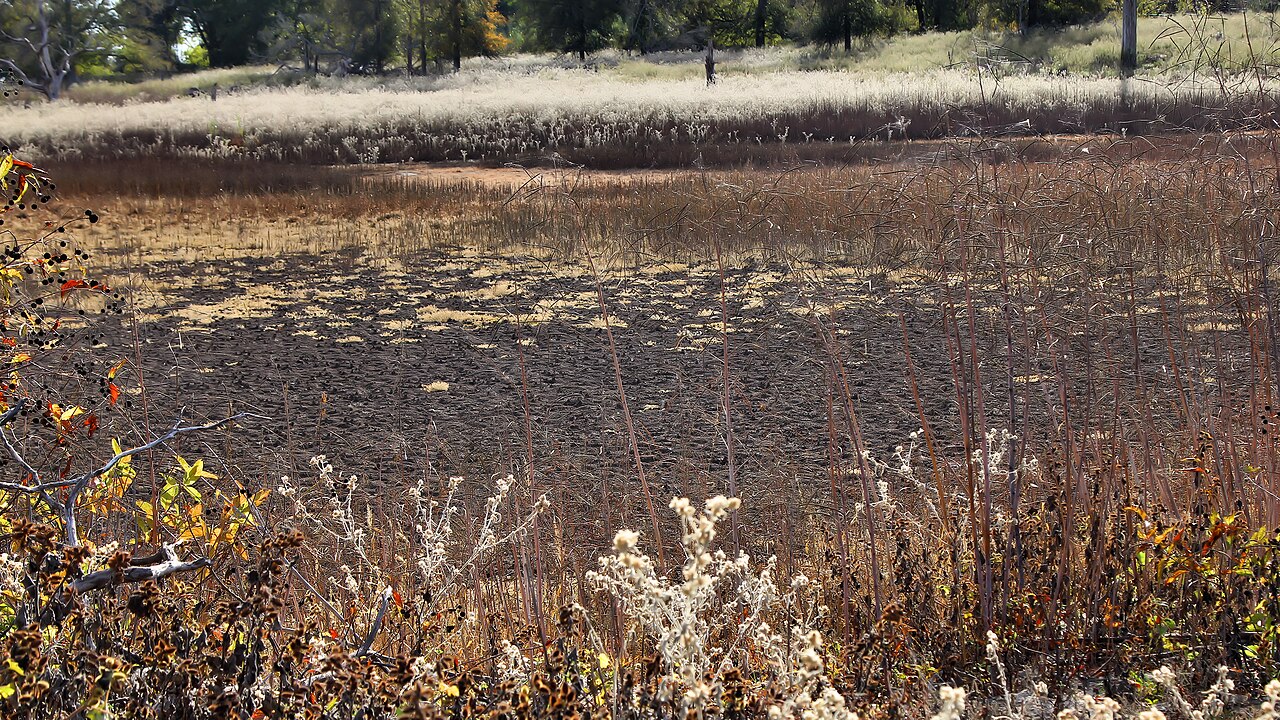
Somerville Lake
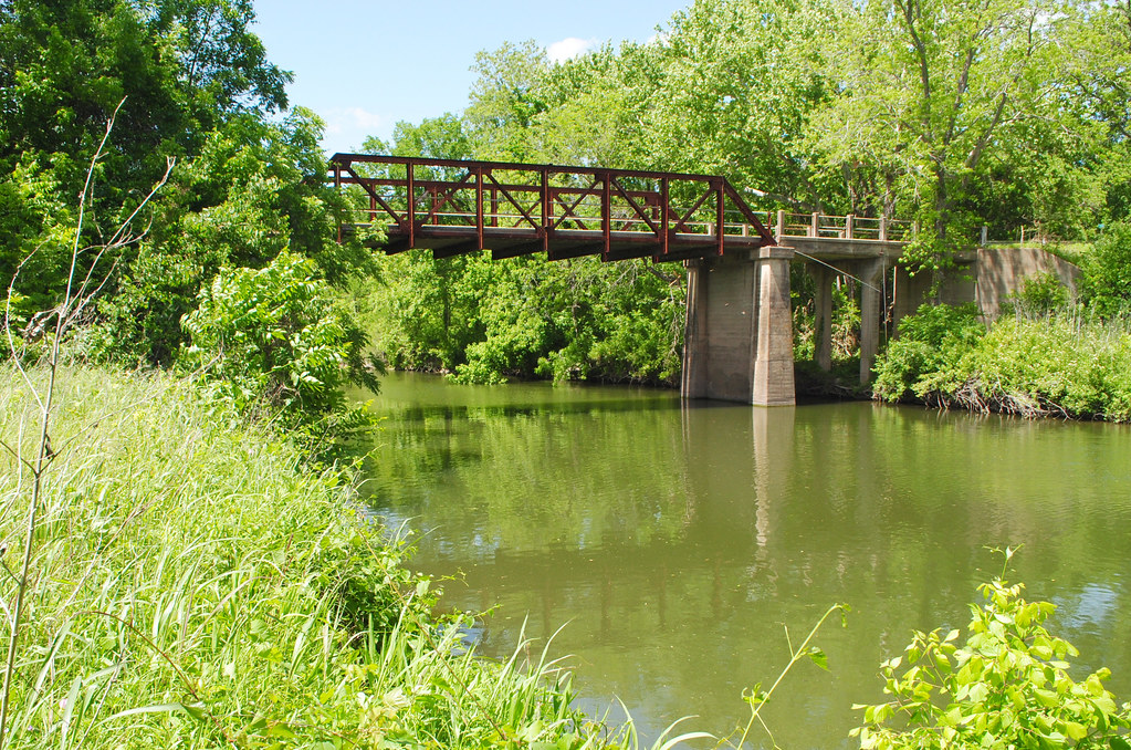
Navasota River
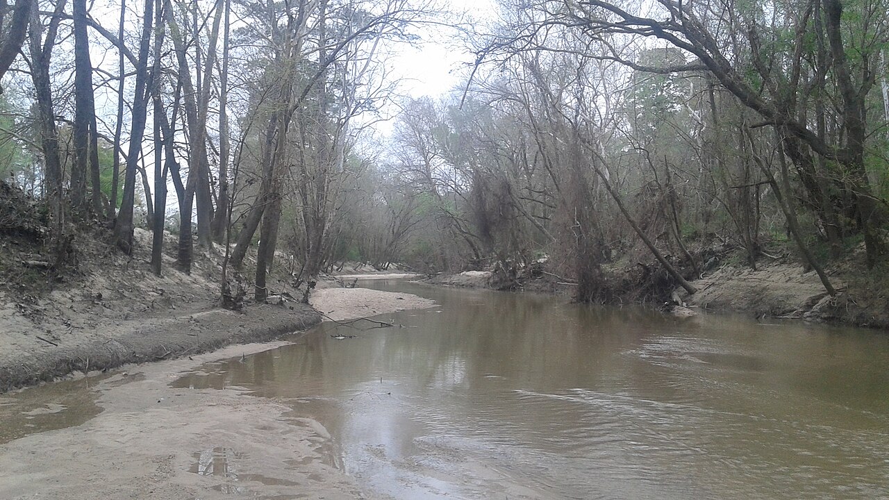
West Fork San Jacinto River
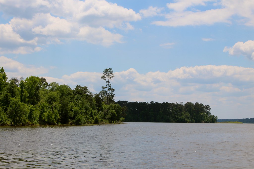
Lake Conroe
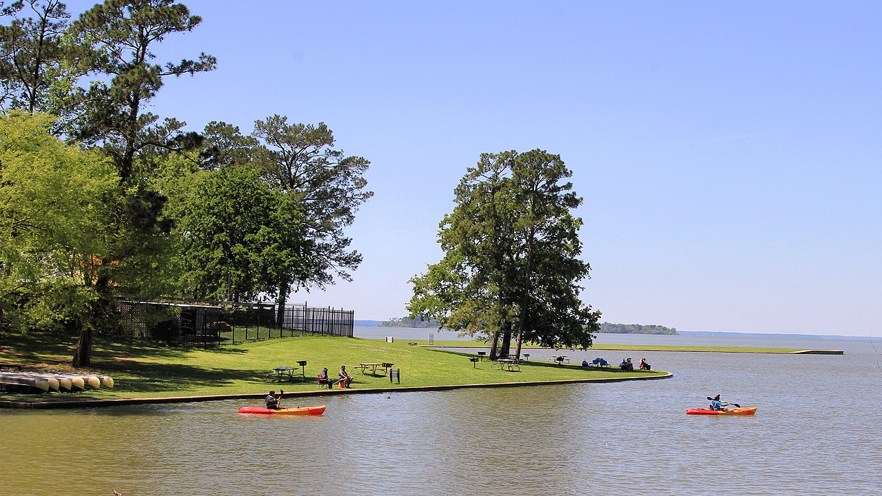
Lake Livingston

Trinity River
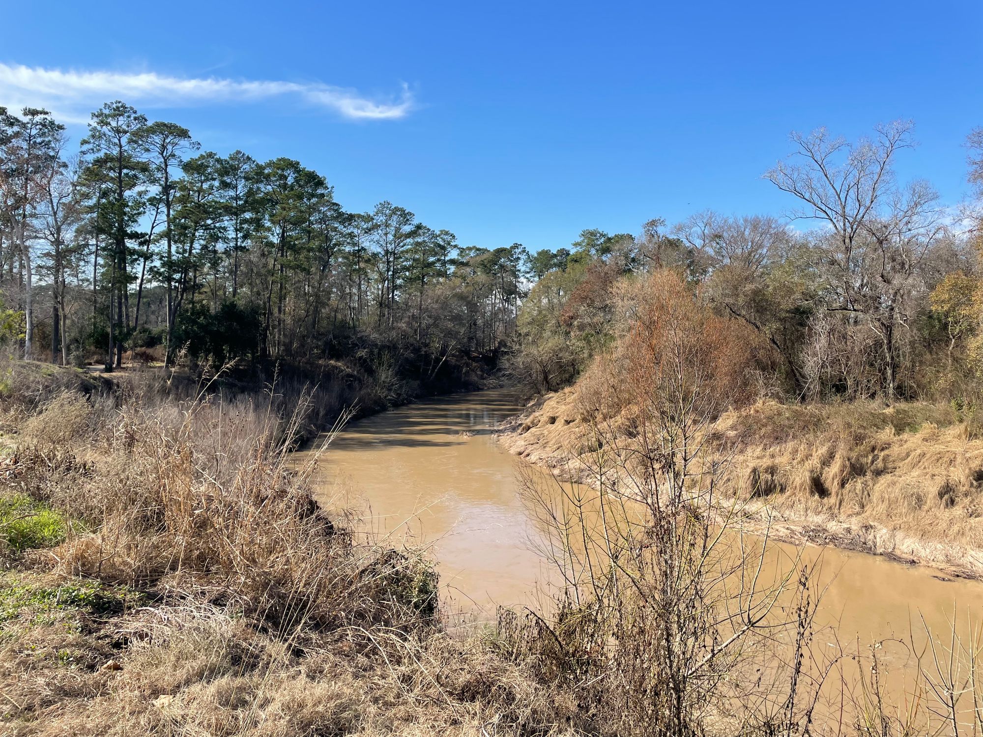
Cypress Creek
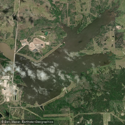
Gibbons Creek Reservoir
Explore Texas waters
Top paddling waters
Popular Cities
Loading popular cities...
Explore near Yegua Creek
Access points
Nearby waters
More in Texas

Smarter Paddling Starts in the App.
Paddleways gives you everything you need to plan smarter, paddle better, and own every trip from first launch to takeout.