Blackslee waterfall
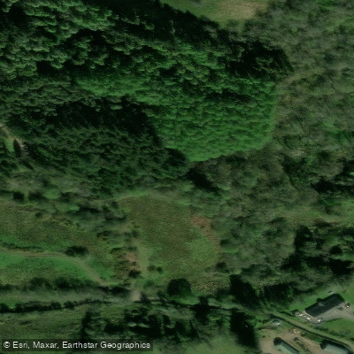
Blackslee waterfall
Blackslee Waterfall is located in County Fermanagh, Northern Ireland, within an upland conifer plantation near the Magho cliffs above Lower Lough Erne. The waterfall is the centrepiece of a moderate circular trail of roughly 4 miles (6.
5 km) with around 880 feet of elevation gain, typically completed in two to two and a half hours. The walk rewards visitors with sweeping panoramic views that unfold in layers across the landscape.
From the higher ground, Carrick Lough — with its crannog and ruined church — sits in the mid-foreground, while smaller loughs dot the surrounding hills.
The far horizon takes in landmarks including Topped Hill, Knockninny, and Belmore Mountain, with the entire northern end of Lower Lough Erne stretching into the distance.
Nearby points of interest
Find excellent paddling spots, easy access to boat ramps, and all the amenities you need for a memorable day. Your adventure starts here.
Water and weather conditions (10 day forecast)
Check the forecast at Blackslee waterfall before you go paddling.
No forecast data available.
Paddling near Blackslee waterfall
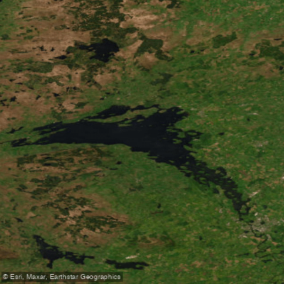
Lower Lough Erne
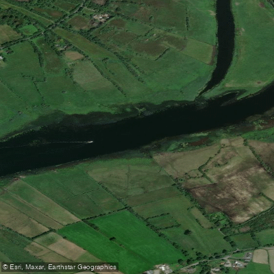
Shannon [Upper]
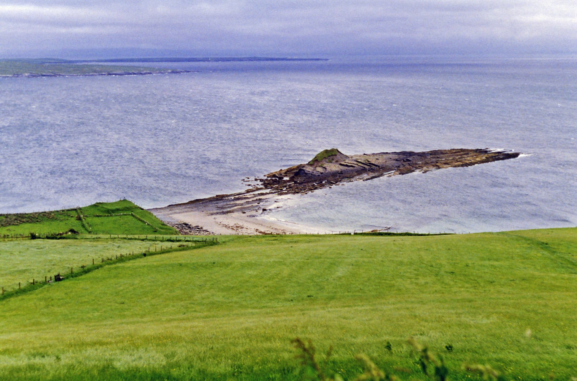
Donegal Bay
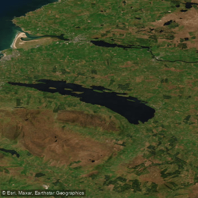
Lough Melvin
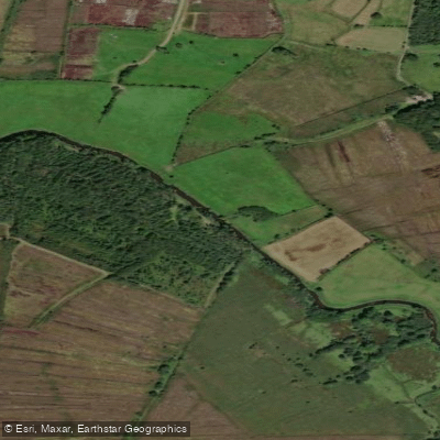
Duff
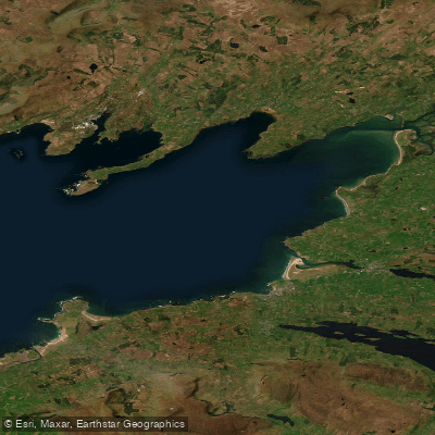
Donegal Bay (Erne)
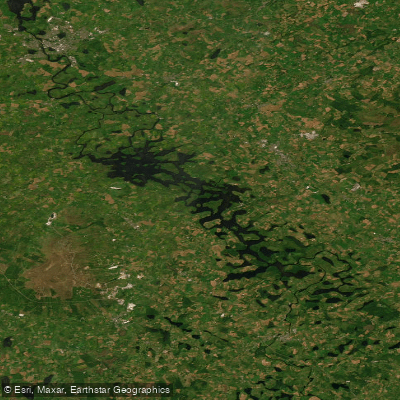
Erne (Lough) (Upper)
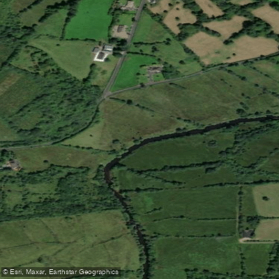
Bonet
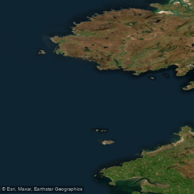
Donegal Bay Northern
Glenaniff
United Kingdom licenses and regulations
Explore United Kingdom waters
Top paddling waters
No waters available right now.
Popular Cities
Loading popular cities...
Explore near Blackslee waterfall

Smarter Paddling Starts in the App.
Paddleways gives you everything you need to plan smarter, paddle better, and own every trip from first launch to takeout.