Bear Lake
Bear Lake
- Boat Ramps
- 6
- Access Points
- 6
- Campsites
- 10
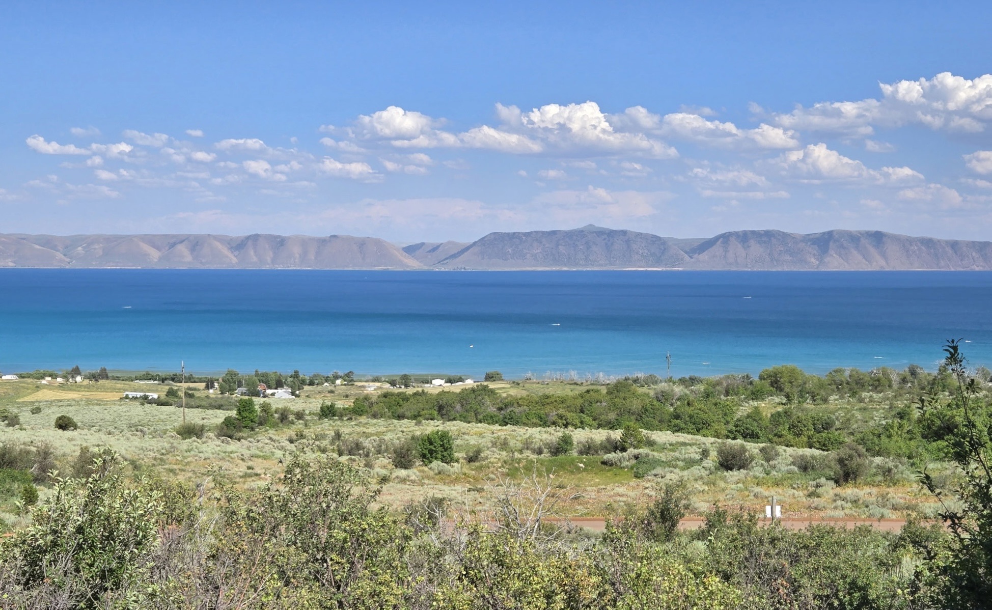
Bear Lake, straddling the Utah-Idaho border, is a 109-square-mile freshwater lake known as the "Caribbean of the Rockies" for its striking turquoise-blue color. This hue results from suspended calcium carbonate particles reflecting the sky. The lake reaches depths of 208 feet and features 48 miles of sandy shoreline.
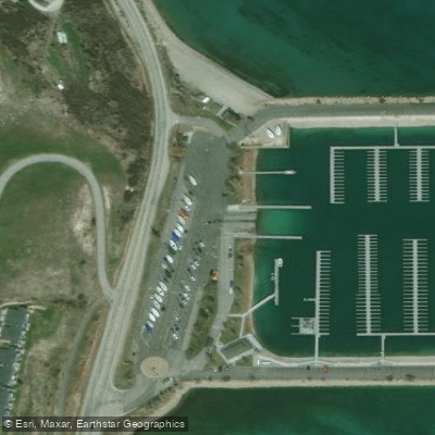
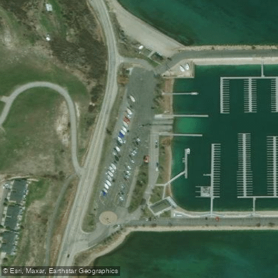
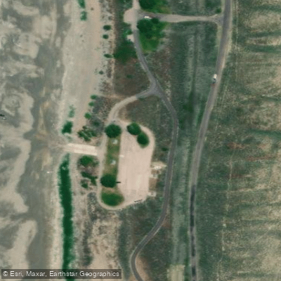
Paddlers can access the lake from multiple points, including Garden Park Beach, Rendezvous Beach, and North Beach State Park. The west side offers wider beaches with shallow water, while the east side beaches are narrower with deeper water close to shore. Seven boat ramps are scattered around the shoreline.
Early mornings provide the calmest paddling conditions before afternoon winds pick up. The lake is best explored from June to October when surface water temperatures range from 55-65°F. Be aware that high winds can generate 10-foot waves, so checking weather forecasts is crucial.
Bear Lake harbors unique endemic fish species, including Bonneville cisco and Bear Lake whitefish. Paddlers may spot ospreys and bald eagles hunting along the shores. The clear water, with 30-foot visibility, allows views of the lakebed in many areas.
Amenities for paddlers include campgrounds, picnic areas, and rental facilities at various beaches. Garden City Park offers shallow swimming areas. Bear Lake State Park Marina provides boating and fishing supplies.
When planning a trip, be mindful that Bear Lake can generate its own weather patterns. Always wear a personal flotation device and watch for changing conditions. The lake's size and surrounding mountain scenery provide ample opportunities for day-long explorations of coves, beaches, and open water.
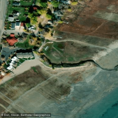
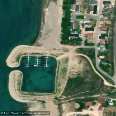
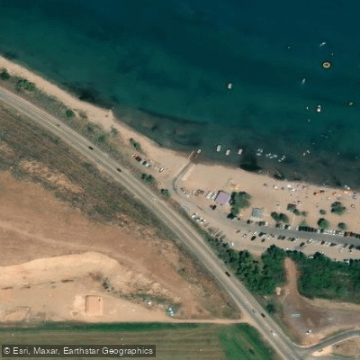
Water access, boat ramps & amenities
Learn how to get on Bear Lake. Uncover great paddling access points, boat ramps, and all the facilities you need for an unforgettable day on the water. Some locations shown may border or include private property. Always check property boundaries and applicable regulations before visiting. PaddleWays's Public & Private Land layer can help you plan your access with confidence.
Paddle smarter with real-time insights
Whether you're en route and conditions shift or you're looking for the best spot based on current flows, we enable you to make informed decisions on the fly.








Find Places to Paddle

Over 400,000 Places to Paddle
Every user gets free access to launch points, boat ramps, and public property parcels.


Water and weather conditions (10 day forecast)
See the best times to paddle Bear Lake and check the forecast before you go.
Bear Lake nr east shore 0.4 mi S of UT-ID border
All Flow Stations
Paddling near Bear Lake
Logan River
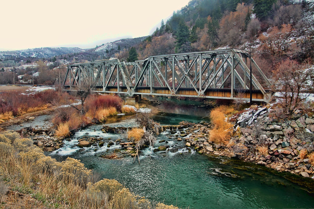
Weber River
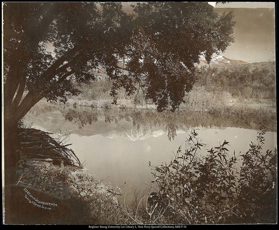
Ogden River
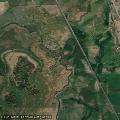
Bear River
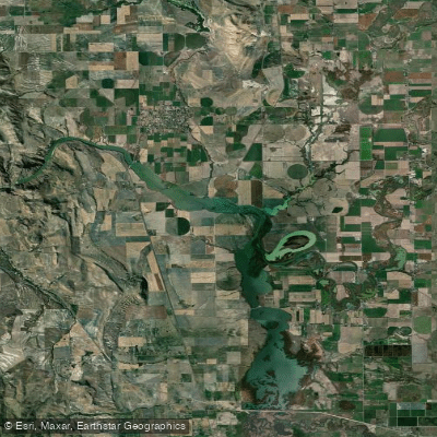
Cutler Reservoir
Blacksmith Fork
Hyrum Reservoir
Great Salt Lake
Mantua Reservoir
Explore Utah waters
Top paddling waters
Popular Cities
Loading popular cities...
Explore near Bear Lake
Access points
- Fish Haven Boat Ramp
- East Shore Marina Boat Ramp
- Rendezvous Beach State Park Boat Ramp
- Bear Lake State Park Boat Ramp
- Bear Lake State Park Boat Ramp
- East Beach Boat Ramp
- St Charles Cr.;s.branch Bridge
- St Charles Creek Bridge
- St Charles Creek Bridge
- Fish Haven Creek Bridge
- Rendevous Village RV Park Campground
- Montpelier Creek KOA Campground
- All 20 spots
Nearby waters
More in Utah

Smarter Paddling Starts in the App.
Paddleways gives you everything you need to plan smarter, paddle better, and own every trip from first launch to takeout.