Ogden River
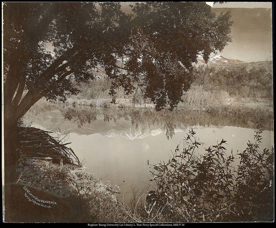
Ogden River
- Boat Ramps
- 3
- Access Points
- 23
- Campsites
- 1
The Ogden River is a scenic waterway in northern Utah, originating high in the Wasatch Mountains east of Ogden. It flows westward through Ogden Canyon before joining the Weber River in Ogden. The river's main tributary is the South Fork Ogden River, which joins the main stem near Huntsville. The Ogden River watershed covers approximately 360 square miles, playing a vital role in the region's ecology and water supply.
For paddlers, the Ogden River offers a diverse range of experiences across several distinct sections. The upper reaches from Pineview Dam provide a mix of Class II-III+ rapids over 3.5 miles, ideal for intermediate kayakers. Downstream, the infamous Narrows section through Ogden Canyon presents a challenging 1.8-mile stretch of Class II-V whitewater, recommended only for expert paddlers. As the river exits the canyon, it transitions to more moderate Class III rapids for another 1.8 miles before entering Ogden proper.
Within the city, the Ogden River offers several popular urban paddling options. The section from Lorin Farr Park to the Crystal Wave feature behind Walmart provides 1.3 miles of Class II+ rapids, perfect for intermediate paddlers and playboaters. The Ogden Kayak Park, located at 485 W Exchange Road, features two distinct channels - a mellower side with slides for beginners and tubers, and a faster, more technical side for experienced paddlers.
The best paddling season typically runs from late spring through early summer when snowmelt swells the river. However, releases from Pineview Dam can extend opportunities into late summer and fall. The river corridor supports a rich riparian ecosystem, home to various fish species, birds, and mammals.
Key access points include Pineview Dam, the Smokey Bear sign in Ogden Canyon, Rainbow Gardens at the canyon mouth, Lorin Farr Park, and the Ogden Kayak Park. The city of Ogden has embraced its river, developing the Ogden River Parkway trail system and incorporating the waterway into its outdoor recreation identity.
Safety is paramount on the Ogden River, particularly in the more challenging canyon sections. Paddlers should be aware of fluctuating water levels, potential strainers, and the technical nature of many rapids. Local regulations require the use of personal flotation devices. While primarily suited for day trips, the variety of sections allows paddlers to string together multiple runs for an extended Ogden River experience. The river's accessibility, diverse paddling options, and scenic beauty make it a cherished resource for both local and visiting outdoor enthusiasts.
Water access, boat ramps & amenities
Learn how to get on Ogden River. Uncover great paddling access points, boat ramps, and all the facilities you need for an unforgettable day on the water. Some locations shown may border or include private property. Always check property boundaries and applicable regulations before visiting. PaddleWays's Public & Private Land layer can help you plan your access with confidence.
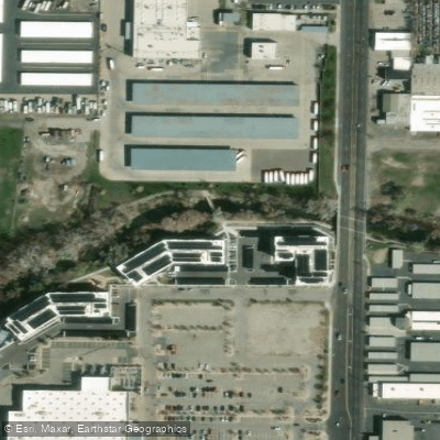
Ogden River Parkway Access
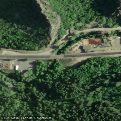
Pineview Dam Access
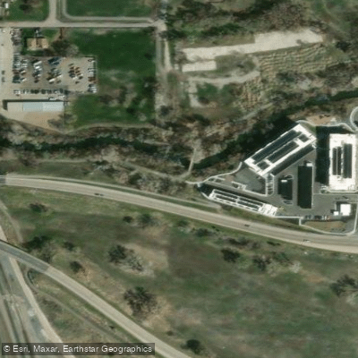
Ogden River Parkway Access
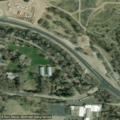
Park Blvd Access
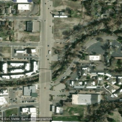
Ogden Pioneer Heritage Foundation Access
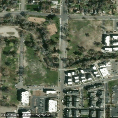
High Adventure Park South Access
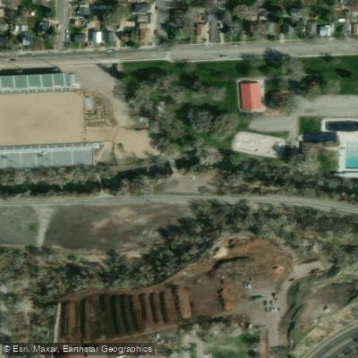
Park Road. Access
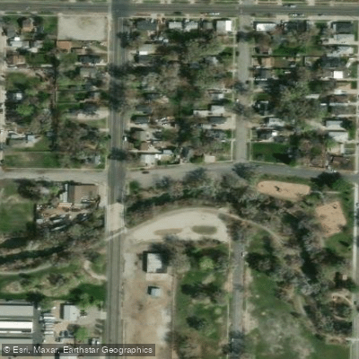
High Adventure Park North Access
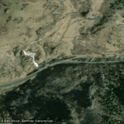
Ogden Canyon Waterfall Access
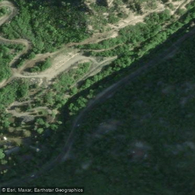
Ogden Canyon Road Access
Paddle smarter with real-time insights
Whether you're en route and conditions shift or you're looking for the best spot based on current flows, we enable you to make informed decisions on the fly.








Find Places to Paddle

Over 400,000 Places to Paddle
Every user gets free access to launch points, boat ramps, and public property parcels.


Water and weather conditions (10 day forecast)
See the best times to paddle Ogden River and check the forecast before you go.
OGDEN RIVER BL PINEVIEW RES NR HUNTSVILLE, UT
All Flow Stations
Paddling near Ogden River
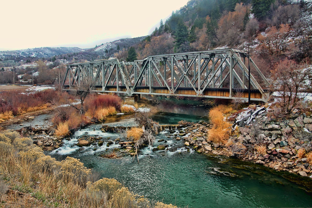
Weber River
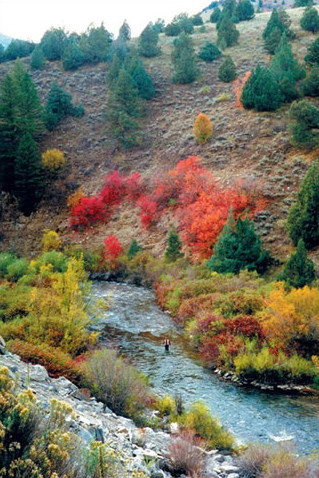
Logan River
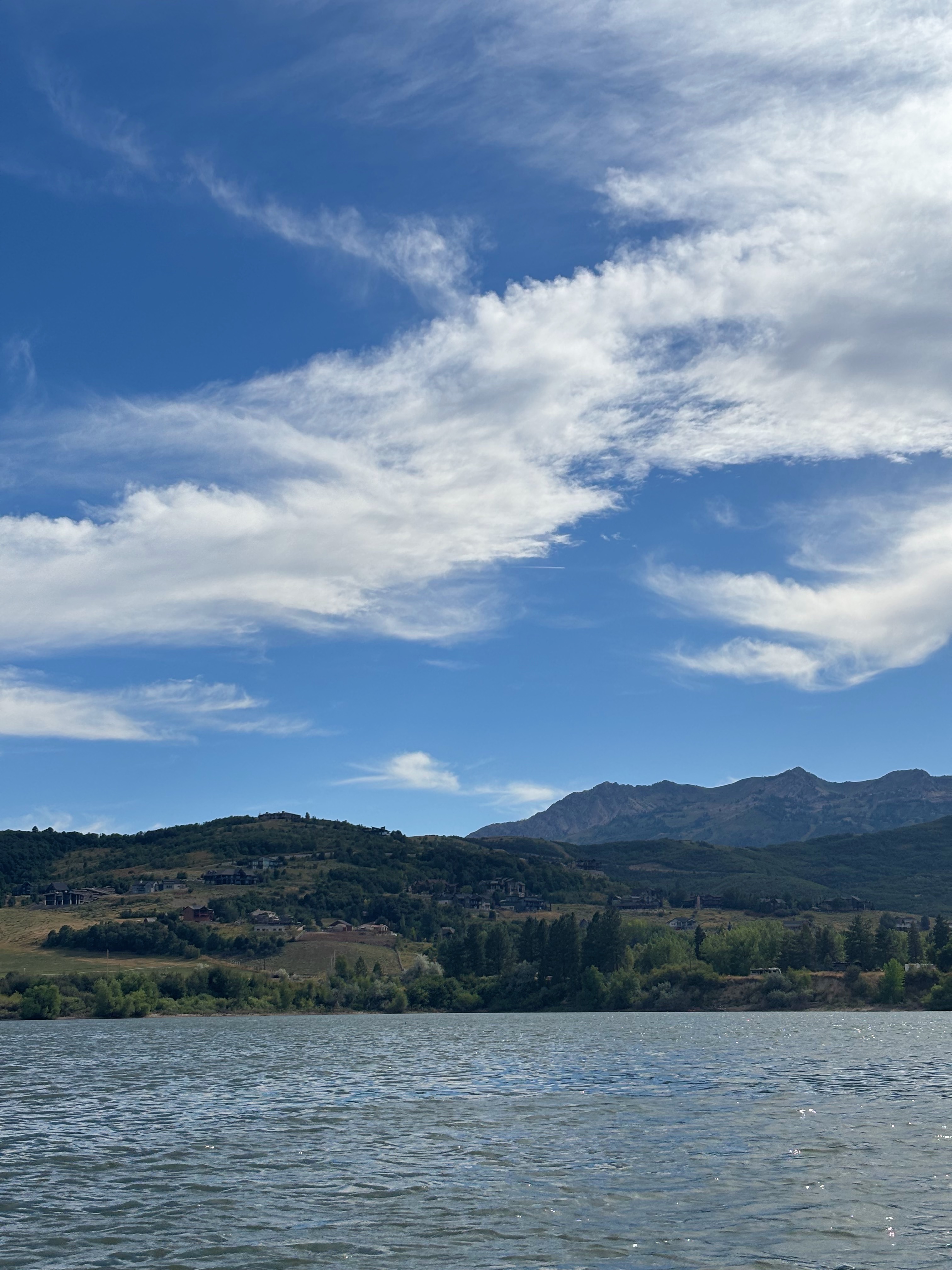
Pineview Reservoir
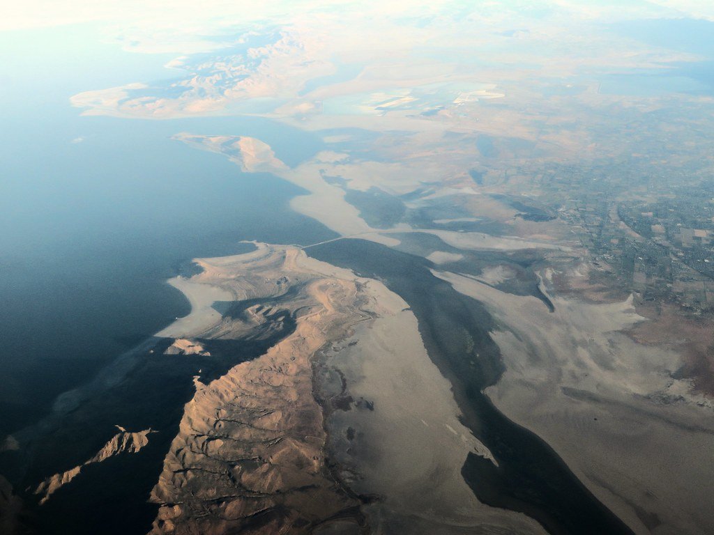
Great Salt Lake
Causey Reservoir
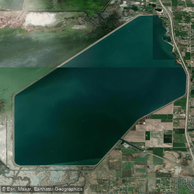
Willard Bay Reservoir
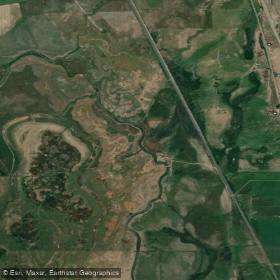
Bear River
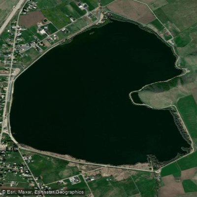
Mantua Reservoir
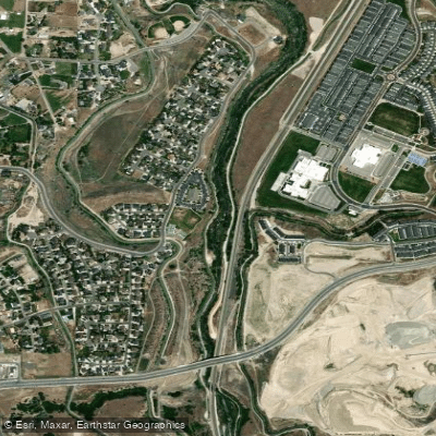
Jordan River
Explore Utah waters
Top paddling waters
Popular Cities
Loading popular cities...
Explore near Ogden River
Access points
- Ogden Canyon Trailhead Boat Ramp
- Ogden Boat Ramp
- Park Rd Boat Ramp
- Ogden River Parkway Access
- Pineview Dam Access
- Ogden River Parkway Access
- Park Blvd Access
- Ogden Pioneer Heritage Foundation Access
- High Adventure Park South Access
- Park Road. Access
- High Adventure Park North Access
- Ogden Canyon Waterfall Access
- All 26 spots
Nearby waters
More in Utah

Smarter Paddling Starts in the App.
Paddleways gives you everything you need to plan smarter, paddle better, and own every trip from first launch to takeout.