Great Salt Lake
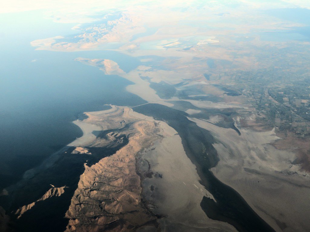
Great Salt Lake
- Boat Ramps
- 6
- Access Points
- 6
- Campsites
- 1
Great Salt Lake, the largest salt lake in the Western Hemisphere, offers a unique paddling experience in Utah. The lake averages 75 miles long by 35 miles wide, covering over a million acres at an elevation of 4,200 feet. Its high salinity provides additional buoyancy for paddlers, with salt concentrations varying between 16% in the southern section and 27% in the northern section.
Access is limited, with only three main public entry points: a marina on the south end, Antelope Island State Park (accessible via causeway), and a land arch on the northeast side. The marina, located about 20 minutes from downtown Salt Lake City, serves as a popular launch site for kayaks and stand-up paddleboards.
Paddlers should be aware of potential hazards. The lake is susceptible to strong winds and can develop high, closely-spaced waves, especially in shallow areas. Weather conditions can change rapidly, particularly in summer. The remote nature of much of the shoreline means rescue services may have limited ability to respond quickly.
Wildlife enthusiasts will appreciate the lake's importance as a migratory bird habitat, with millions of birds passing through annually. The lake is also home to unique microbial structures called microbialites, though many are now exposed due to declining water levels.
For shorter trips, paddlers often head to Black Rock (2 miles round trip) or Pyrite Point (5 miles round trip) from the marina. Sunset paddles are popular but require careful timing to avoid navigating in darkness. The lack of motorized boat traffic, aside from an occasional rescue vessel, contributes to a peaceful atmosphere on the water.
Facilities at the marina include showers for rinsing off after paddling, which is advisable given the high salt content. Paddlers should bring ample fresh water, as the lake's shores are largely undeveloped and inhospitable. Those planning extended trips may need to obtain special permits, as overnight recreation on the lake is generally restricted outside of designated park areas.
Water access, boat ramps & amenities
Learn how to get on Great Salt Lake. Uncover great paddling access points, boat ramps, and all the facilities you need for an unforgettable day on the water. Some locations shown may border or include private property. Always check property boundaries and applicable regulations before visiting. PaddleWays's Public & Private Land layer can help you plan your access with confidence.
Paddle smarter with real-time insights
Whether you're en route and conditions shift or you're looking for the best spot based on current flows, we enable you to make informed decisions on the fly.








Find Places to Paddle

Over 400,000 Places to Paddle
Every user gets free access to launch points, boat ramps, and public property parcels.


Water and weather conditions (10 day forecast)
See the best times to paddle Great Salt Lake and check the forecast before you go.
Bear R Bay Outflow at Causeway Brg nr Warren, UT
All Flow Stations
Paddling near Great Salt Lake
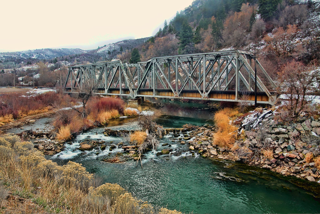
Weber River
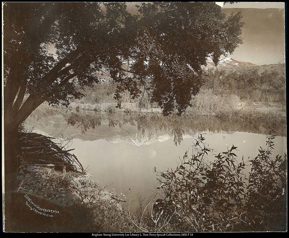
Ogden River
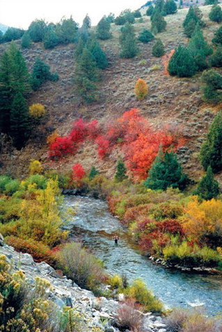
Logan River
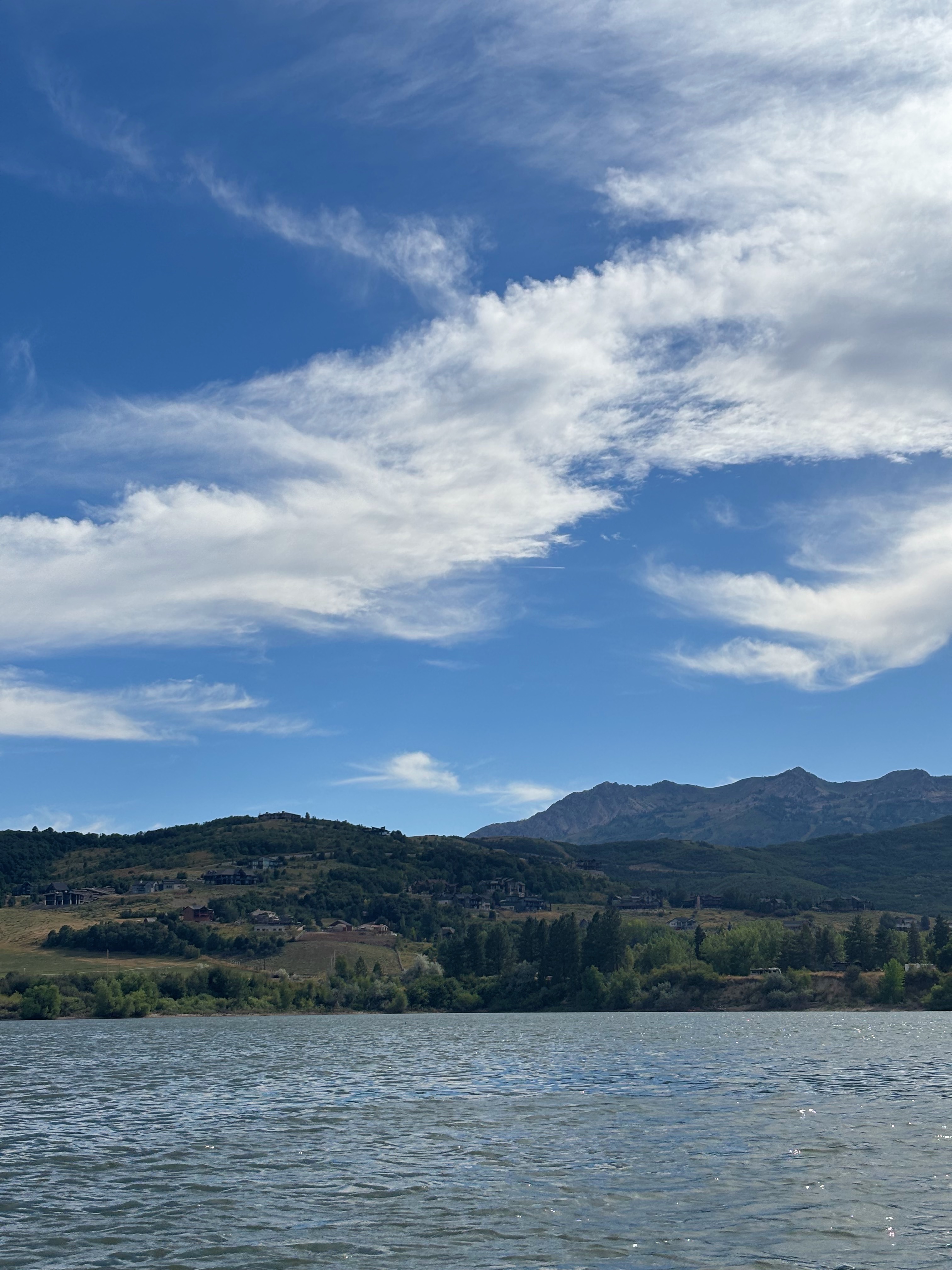
Pineview Reservoir
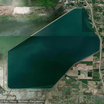
Willard Bay Reservoir
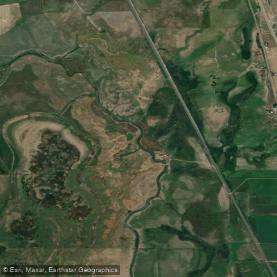
Bear River
Jordan River
Causey Reservoir
Mantua Reservoir
Explore Utah waters
Top paddling waters
Popular Cities
Loading popular cities...
Explore near Great Salt Lake
Access points
Nearby waters
More in Utah

Smarter Paddling Starts in the App.
Paddleways gives you everything you need to plan smarter, paddle better, and own every trip from first launch to takeout.