Causey Reservoir
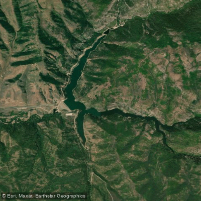
Causey Reservoir
- Boat Ramps
- 3
- Access Points
- 3
- Campsites
- 9
Causey Reservoir is a 140-acre mountain lake situated at 5,700 feet elevation in Weber County, Utah. The reservoir features three distinct "fingers" branching out from the main body, with towering canyon walls rising over 100 feet above the water. No motorized boats are permitted, creating ideal conditions for paddling on typically smooth waters, though afternoon winds can be significant due to the canyon location.
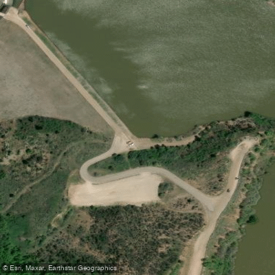
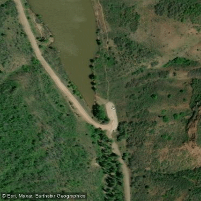
Primary access points include the dam area and the Skull Crack trailhead at the south end. Both launch sites require a steep portage down gravelly shores, particularly as water levels drop during summer. The shoreline is predominantly steep and rocky, with limited areas for beaching watercraft.
The reservoir's emerald-green waters are fed by snowmelt, providing cool temperatures throughout summer. Each arm offers unique features: the north arm showcases red rock formations, while the south and east arms feature popular cliff jumping locations. During late summer, Kokanee salmon turn bright red and spawn in the tributary streams, creating a notable wildlife viewing opportunity. The reservoir is also stocked with trout.
Essential safety considerations include mandatory life jackets (with active enforcement), afternoon wind patterns, and steep drop-offs along the shoreline. There are no amenities at the reservoir - no restrooms, picnic areas, or drinking water. Parking is available by the dam and near the former Boy Scout camp, though lots fill quickly on summer weekends.
For day trips, the center finger running east to west from the main parking area offers the most scenic paddling, typically taking 1-2 hours to explore. The surrounding canyon features tall pine trees and dramatic rock formations, with occasional hiking trails accessible from the water. Early morning launches are recommended to avoid afternoon winds and peak crowds.
Access from Salt Lake City requires approximately one hour of travel, with the reservoir located 15 minutes east of Huntsville via Highway 39.
Water access, boat ramps & amenities
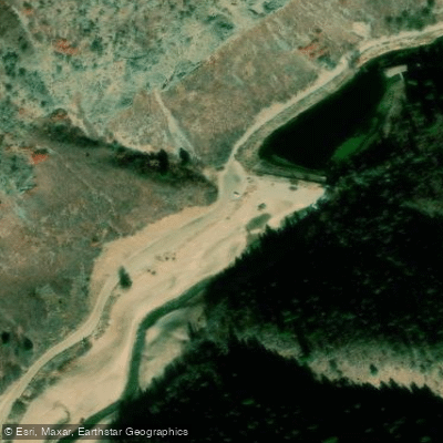
Learn how to get on Causey Reservoir. Uncover great paddling access points, boat ramps, and all the facilities you need for an unforgettable day on the water. Some locations shown may border or include private property. Always check property boundaries and applicable regulations before visiting. PaddleWays's Public & Private Land layer can help you plan your access with confidence.
Paddle smarter with real-time insights
Whether you're en route and conditions shift or you're looking for the best spot based on current flows, we enable you to make informed decisions on the fly.








Find Places to Paddle

Over 400,000 Places to Paddle
Every user gets free access to launch points, boat ramps, and public property parcels.


Water and weather conditions (10 day forecast)
See the best times to paddle Causey Reservoir and check the forecast before you go.
Causey Reservoir and Dam
Paddling near Causey Reservoir
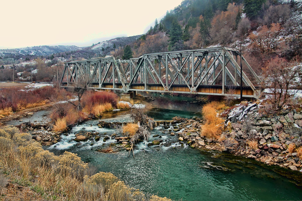
Weber River
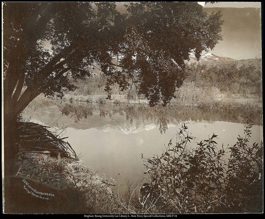
Ogden River
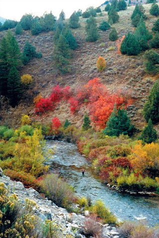
Logan River
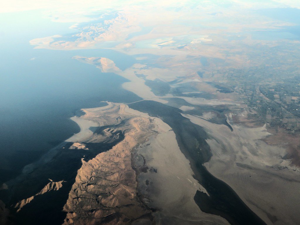
Great Salt Lake
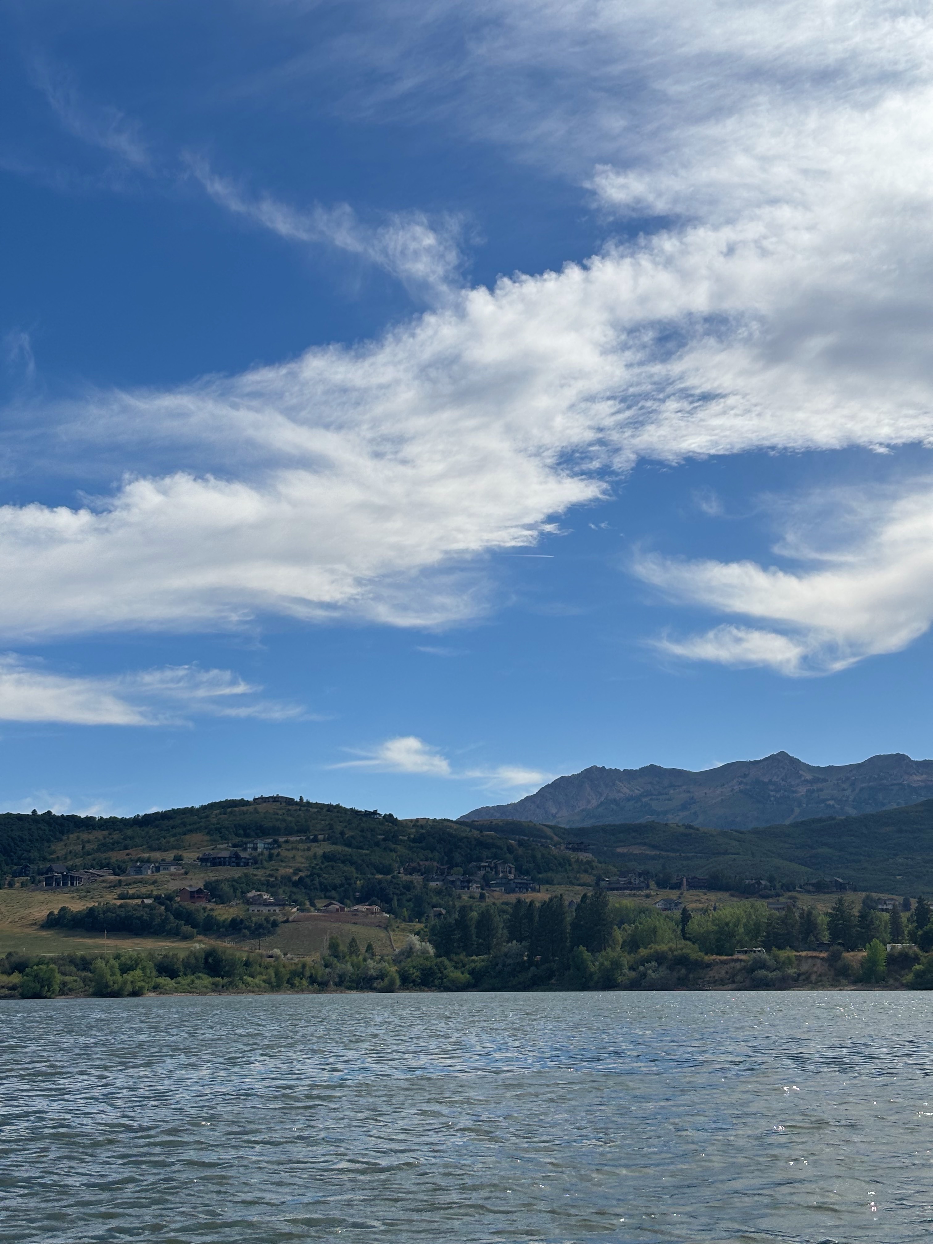
Pineview Reservoir
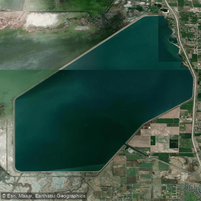
Willard Bay Reservoir
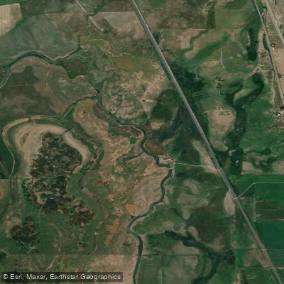
Bear River
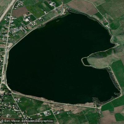
Mantua Reservoir
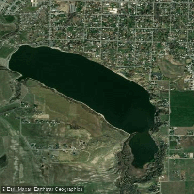
Hyrum Reservoir
Explore Utah waters
Top paddling waters
Popular Cities
Loading popular cities...
Explore near Causey Reservoir
Access points
Nearby waters
More in Utah

Smarter Paddling Starts in the App.
Paddleways gives you everything you need to plan smarter, paddle better, and own every trip from first launch to takeout.