Goslin Creek
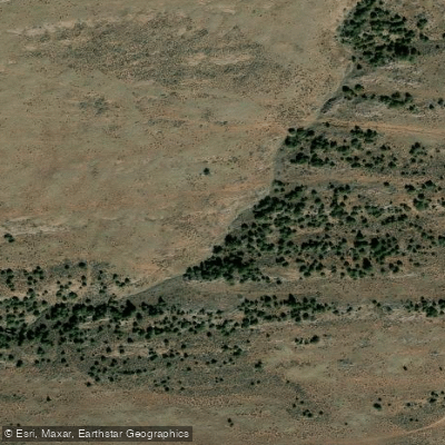
Goslin Creek
- Boat Ramps
- 0
- Access Points
- 0
- Campsites
- 26
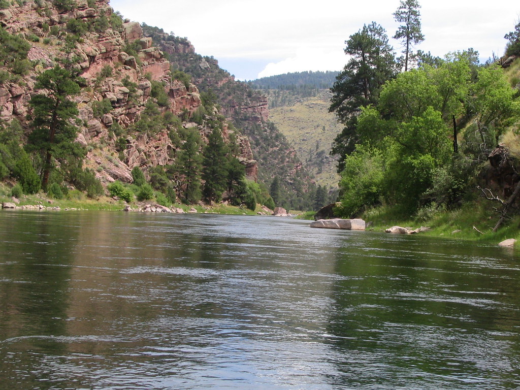
The Green River in Utah, originating from the Flaming Gorge Dam, flows south through dramatic red rock canyons and offers a variety of paddling experiences. This tailwater section of the Green River extends approximately 32 miles from the dam to the Swinging Bridge, divided into three distinct segments: A, B, and C. Section A, a 7-mile stretch from the dam to Little Hole, features mild Class II whitewater through the scenic Red Canyon. This popular segment is ideal for beginner to intermediate paddlers and renowned for its world-class trout fishing. Section B continues for 8 miles from Little Hole to Indian Crossing, including the most significant rapid of the area, Red Creek Rapid. Section C, the final 17-mile segment, offers a more relaxed paddling experience from Indian Crossing to the Swinging Bridge or Swallow Canyon Ramp.
The river's difficulty ranges from Class I to II+, with Red Creek Rapid in Section B presenting the most challenging feature. While suitable for novice paddlers under proper guidance, some whitewater experience is recommended, especially for those tackling all three sections. Optimal paddling seasons are late spring through early fall, with water releases from the dam providing consistent flows year-round. However, be prepared for potential high water during spring runoff and colder temperatures in shoulder seasons.
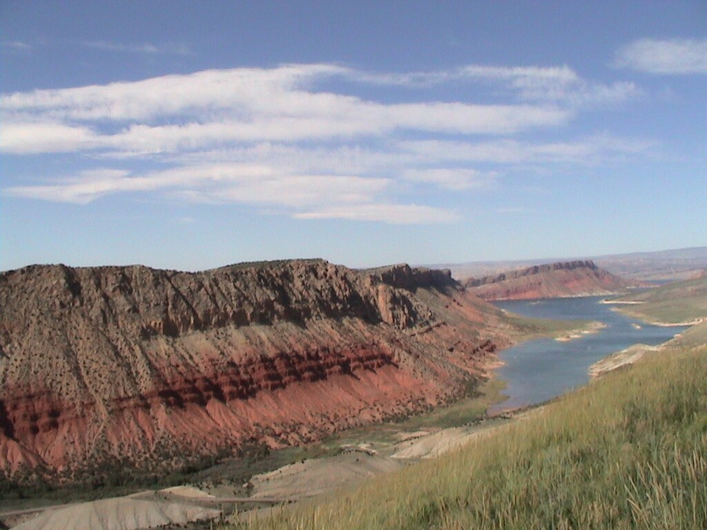
The surrounding landscape showcases towering red cliffs, ponderosa pines, and diverse wildlife. Paddlers may encounter river otters, bald eagles, Rocky Mountain elk, and bighorn sheep. The Green River is also home to a thriving population of brown and rainbow trout, making it a paradise for anglers.
Key access points include the Spillway Boat Launch below Flaming Gorge Dam, Little Hole Recreation Area, Indian Crossing, and the Swinging Bridge, all accessible from the nearby town of Dutch John. For extended trips, numerous designated campsites are available along the river.
This stretch of the Green River holds historical significance as part of John Wesley Powell's 1869 expedition. Today, it's managed cooperatively by the U.S. Forest Service, Bureau of Land Management, and Utah Division of Wildlife Resources, with various regulations in place to protect the ecosystem and maintain the quality of the recreational experience.
Safety considerations include wearing appropriate personal flotation devices, being prepared for rapid weather changes, and understanding the impact of dam releases on water levels. Multi-day trips are possible, with options ranging from overnight excursions to more extended journeys combining all three sections for a comprehensive Green River adventure.
Water access, boat ramps & amenities
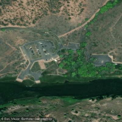
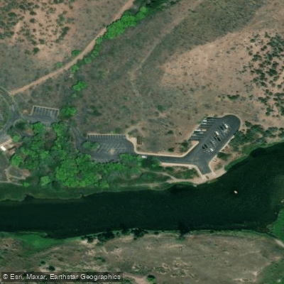
Learn how to get on Goslin Creek. Uncover great paddling access points, boat ramps, and all the facilities you need for an unforgettable day on the water. Some locations shown may border or include private property. Always check property boundaries and applicable regulations before visiting. PaddleWays's Public & Private Land layer can help you plan your access with confidence.
Paddle smarter with real-time insights
Whether you're en route and conditions shift or you're looking for the best spot based on current flows, we enable you to make informed decisions on the fly.








Find Places to Paddle

Over 400,000 Places to Paddle
Every user gets free access to launch points, boat ramps, and public property parcels.


Water and weather conditions (10 day forecast)
See the best times to paddle Goslin Creek and check the forecast before you go.
No forecast data available.
Explore Utah waters
Top paddling waters
Popular Cities
Loading popular cities...
Explore near Goslin Creek
Access points
Nearby waters
More in Utah

Smarter Paddling Starts in the App.
Paddleways gives you everything you need to plan smarter, paddle better, and own every trip from first launch to takeout.