Big Sandy Reservoir
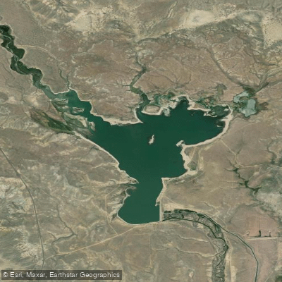
Big Sandy Reservoir
- Boat Ramps
- 1
- Access Points
- 1
- Campsites
- 0
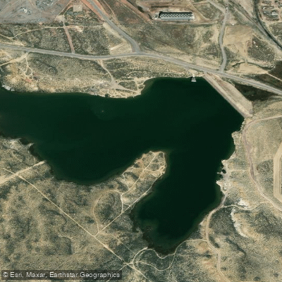
Big Sandy Reservoir is a 2,500-acre lake located about 15 miles north of Farson, Wyoming at an elevation of 6,760 feet. The reservoir offers primitive camping and boat launching facilities with no fees required. Access is via a county road that may require 4-wheel drive vehicles during wet conditions.
The lake is situated in an open, high desert setting with views of distant mountains. Water levels can fluctuate seasonally, impacting shoreline conditions. Paddlers should be prepared for potentially muddy shores and cloudy water. Strong winds are common in this exposed area and can create challenging paddling conditions.
Wildlife viewing opportunities include wild horses that occasionally visit the lakeshore, as well as pronghorn antelope on the surrounding plains. Birdwatching is also popular. Fish species in the reservoir include brown trout, cutthroat trout, and catfish.
Facilities are limited to vault toilets and some picnic tables/fire rings. There is no potable water available. Cell phone coverage is very limited. The area sees relatively low use, offering a sense of solitude, especially on weekdays.
Paddlers should be aware that the lake can have significant mosquito and other insect activity, particularly in calm conditions. Early mornings or breezy days may provide the most comfortable paddling experience. Given the remote location and lack of on-site management, paddlers should be self-sufficient and prepared for emergencies.
The Bureau of Reclamation manages recreation at Big Sandy Reservoir. While no specific paddling restrictions are mentioned, users are advised that all activities are undertaken at their own risk due to the primitive nature of the site.
Water access, boat ramps & amenities
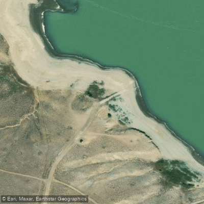
Learn how to get on Big Sandy Reservoir. Uncover great paddling access points, boat ramps, and all the facilities you need for an unforgettable day on the water. Some locations shown may border or include private property. Always check property boundaries and applicable regulations before visiting. PaddleWays's Public & Private Land layer can help you plan your access with confidence.
Paddle smarter with real-time insights
Whether you're en route and conditions shift or you're looking for the best spot based on current flows, we enable you to make informed decisions on the fly.








Find Places to Paddle

Over 400,000 Places to Paddle
Every user gets free access to launch points, boat ramps, and public property parcels.


Water and weather conditions (10 day forecast)
See the best times to paddle Big Sandy Reservoir and check the forecast before you go.
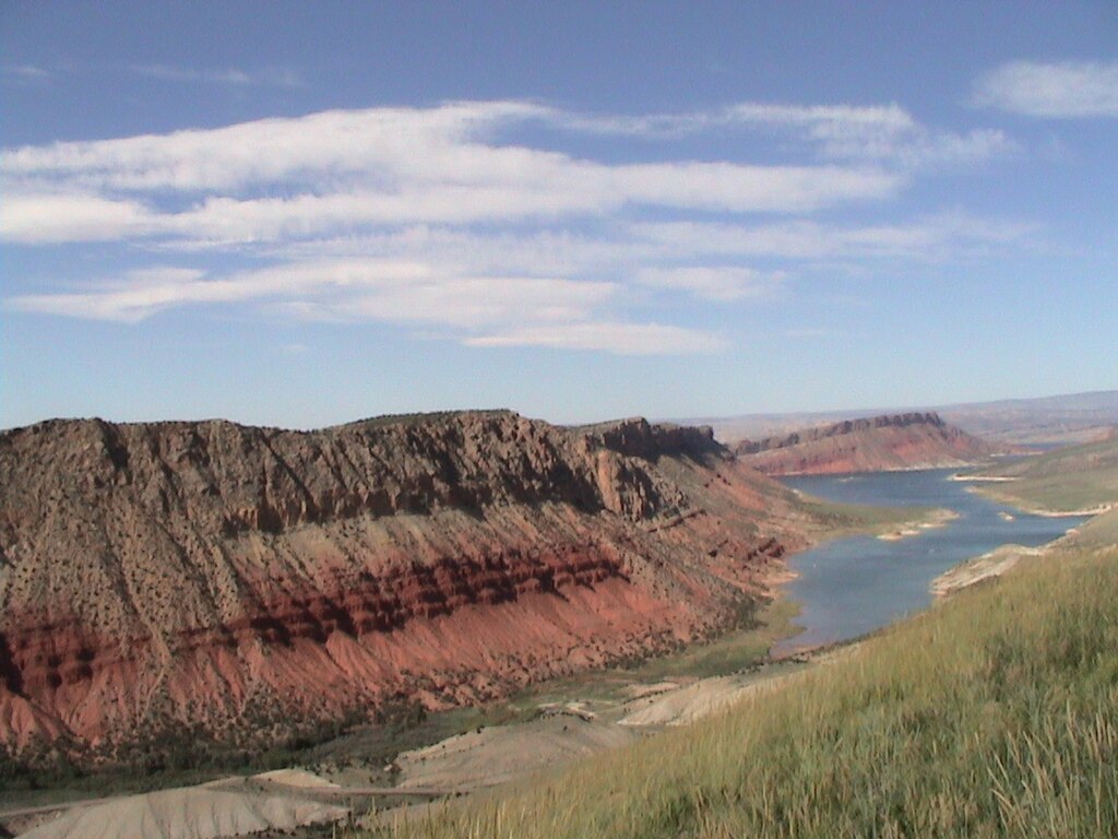
Big Sandy Reservoir and Dam
Explore Wyoming waters
Top paddling waters
Popular Cities
Loading popular cities...
Explore near Big Sandy Reservoir
Access points
Nearby waters
More in Wyoming

Smarter Paddling Starts in the App.
Paddleways gives you everything you need to plan smarter, paddle better, and own every trip from first launch to takeout.