Jim Bridger Reservoir
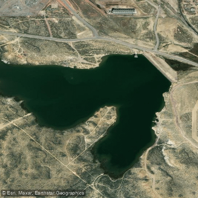
Jim Bridger Reservoir
- Boat Ramps
- 1
- Access Points
- 1
- Campsites
- 0
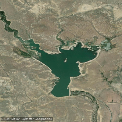
Jim Bridger Reservoir, located approximately 35 miles east of Rock Springs, Wyoming, offers basic recreational access through Jim Bridger Park. The park provides essential facilities for paddlers including a boat ramp and two fishing docks. Limited day-use amenities include six picnic tables and restrooms, with the area open spring through fall.
The reservoir is managed by PacifiCorp/Rocky Mountain Power and allows boating activities. A swimming beach indicates calm waters that work well for paddling. The facility operates under standard safety protocols, with posted notices that visitors should observe, particularly around dam infrastructure.
Key facilities for paddlers: - Boat ramp - Two fishing docks - Restrooms - Picnic area - Swimming beach - Day use only (no overnight camping)
Brown trout can be found in the reservoir, making it a destination for anglers. The area is overseen by PacifiCorp, which maintains the recreational facilities and ensures compliance with state regulations. During public health emergencies, access to facilities may be modified, though boat ramps typically remain accessible.
While the reservoir serves as part of the regional water infrastructure, its recreational areas provide opportunities for various water activities. Visitors should bring their own personal supplies, as amenities are basic. The park's spring-through-fall operating season is prime time for paddling.
For safety considerations, paddlers should follow posted notices and exercise caution around dam structures. As with all PacifiCorp recreational facilities, visitors must comply with state and federal directives regarding public access and usage.
Water access, boat ramps & amenities
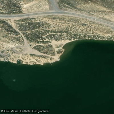
Learn how to get on Jim Bridger Reservoir. Uncover great paddling access points, boat ramps, and all the facilities you need for an unforgettable day on the water. Some locations shown may border or include private property. Always check property boundaries and applicable regulations before visiting. PaddleWays's Public & Private Land layer can help you plan your access with confidence.
Paddle smarter with real-time insights
Whether you're en route and conditions shift or you're looking for the best spot based on current flows, we enable you to make informed decisions on the fly.








Find Places to Paddle

Over 400,000 Places to Paddle
Every user gets free access to launch points, boat ramps, and public property parcels.


Water and weather conditions (10 day forecast)
See the best times to paddle Jim Bridger Reservoir and check the forecast before you go.
No forecast data available.
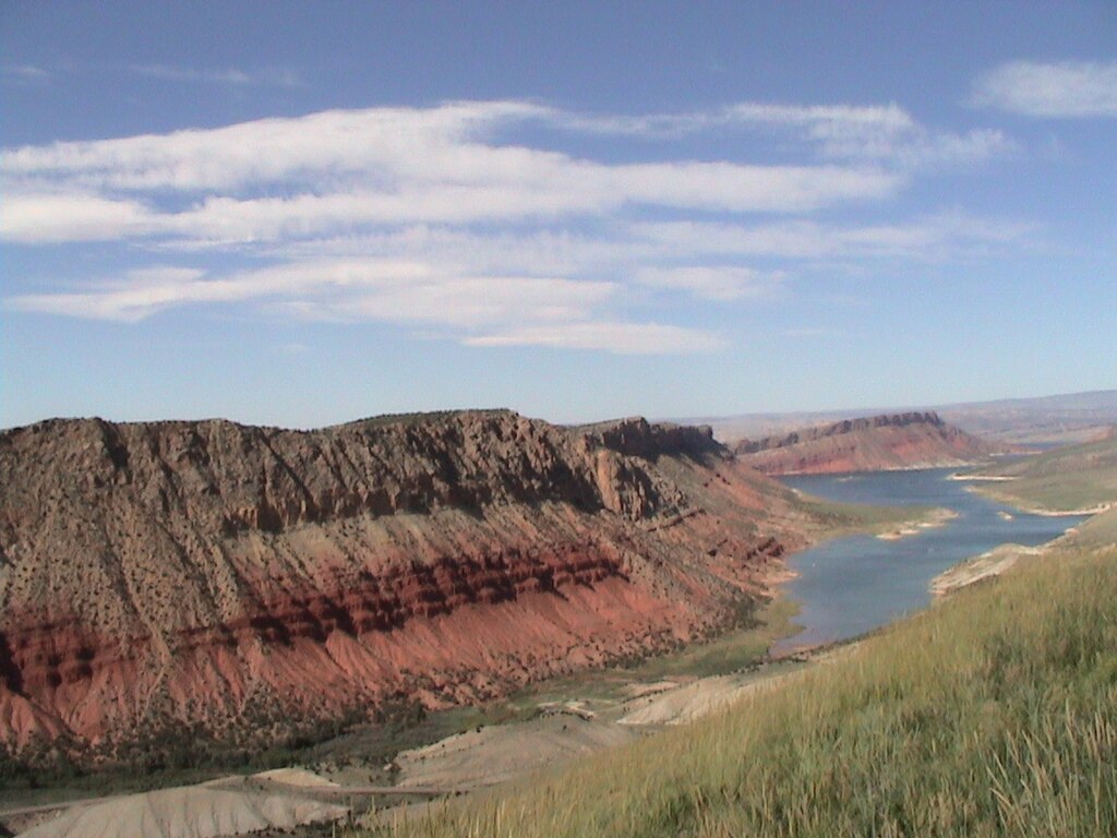
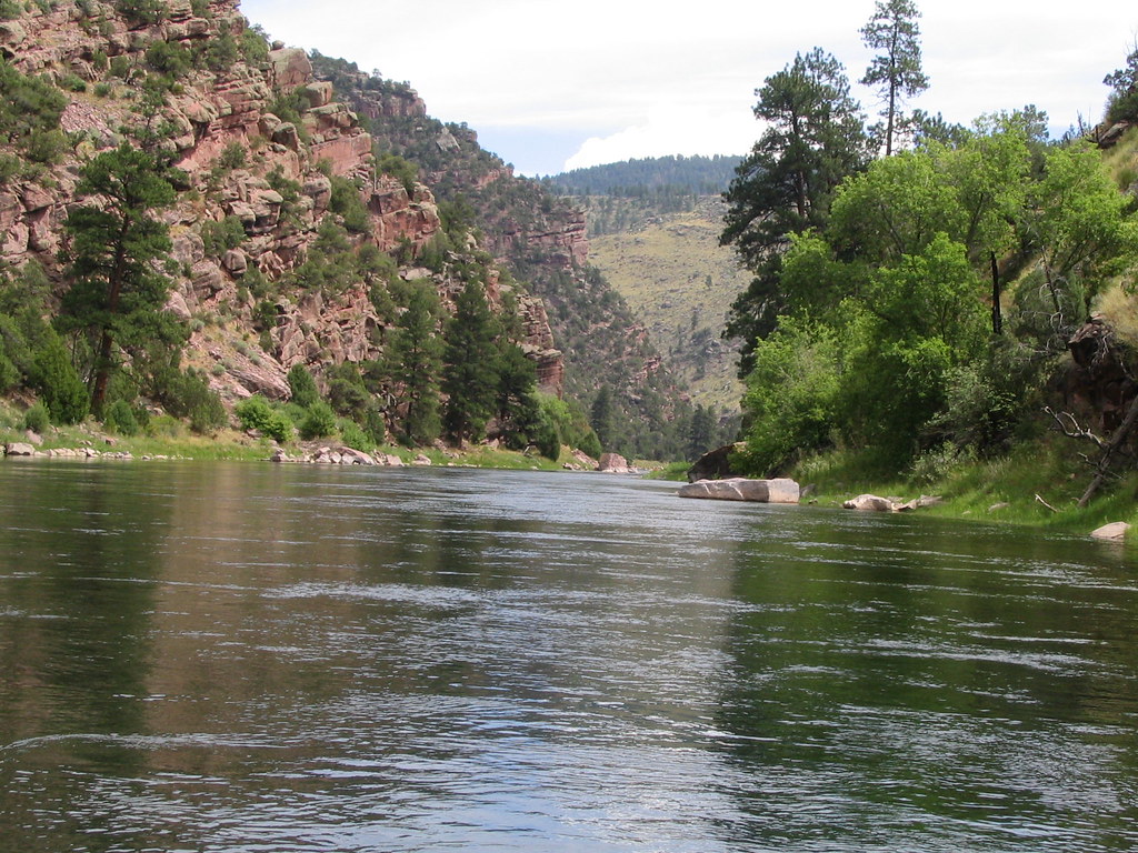
Explore Wyoming waters
Top paddling waters
Popular Cities
Loading popular cities...
Explore near Jim Bridger Reservoir
Access points
Nearby waters
More in Wyoming

Smarter Paddling Starts in the App.
Paddleways gives you everything you need to plan smarter, paddle better, and own every trip from first launch to takeout.