Johnson Valley Reservoir
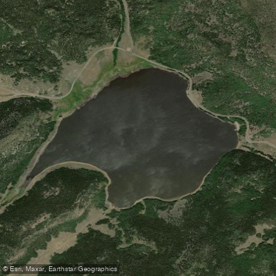
Johnson Valley Reservoir
- Boat Ramps
- 2
- Access Points
- 2
- Campsites
- 3
Johnson Valley Reservoir is a 700-acre lake located in the Fishlake National Forest of central Utah, just three miles northeast of Fish Lake. Created in 1899, the reservoir sits at an elevation of 8,800 feet, surrounded by sagebrush-covered hillsides and forests of aspen, pine, and cottonwood.
Boating and fishing are popular activities on Johnson Valley Reservoir. Anglers can expect to catch rainbow trout and splake. The lake provides opportunities for both motorized and non-motorized watercraft. Paddlers will find calm waters suitable for kayaking and canoeing.
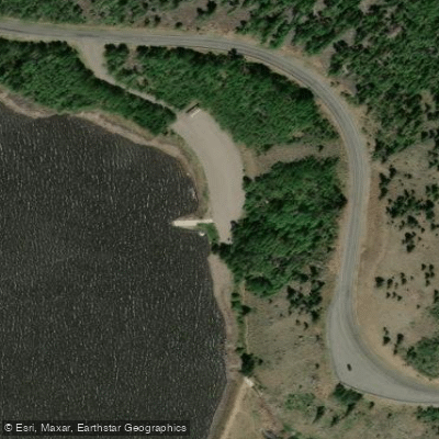
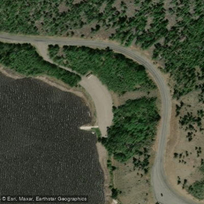
Access to the reservoir is available via Paiute Campground, located adjacent to the lake. The campground offers 48 pull-through sites and basic amenities including pit toilets and drinking water. Paved roads and parking spurs make launching watercraft convenient.
Visitors should be prepared for high elevation conditions and potential inclement weather. The area experiences cold temperatures, even in summer months. Pack appropriate gear and check weather forecasts before your trip.
The surrounding landscape offers additional recreational opportunities. A non-motorized trail leads from the campground to nearby Tasha Creek. The 5-mile Pelican Canyon Trail, which begins near the reservoir, climbs through meadows and forests to the 11,633-foot Fish Lake Hightop, providing stunning views of the area.
Three resorts in the nearby Fish Lake Basin offer additional services from Memorial Day to Labor Day, including camping supplies, boat rentals, and amenities like showers and laundry facilities.
When planning a paddling trip to Johnson Valley Reservoir, be aware that it is a "pack it in, pack it out" area with no garbage services available. Campfires are allowed, but visitors should check current fire restrictions. The maximum stay limit at the campground is 16 days.
Water access, boat ramps & amenities
Learn how to get on Johnson Valley Reservoir. Uncover great paddling access points, boat ramps, and all the facilities you need for an unforgettable day on the water. Some locations shown may border or include private property. Always check property boundaries and applicable regulations before visiting. PaddleWays's Public & Private Land layer can help you plan your access with confidence.
Paddle smarter with real-time insights
Whether you're en route and conditions shift or you're looking for the best spot based on current flows, we enable you to make informed decisions on the fly.








Find Places to Paddle

Over 400,000 Places to Paddle
Every user gets free access to launch points, boat ramps, and public property parcels.


Water and weather conditions (10 day forecast)
See the best times to paddle Johnson Valley Reservoir and check the forecast before you go.
No forecast data available.
Paddling near Johnson Valley Reservoir
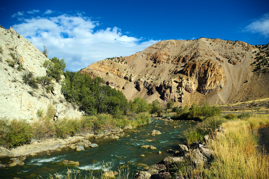
Sevier River
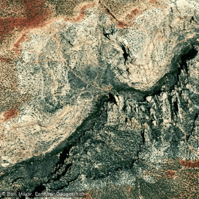
Fremont River

Escalante River
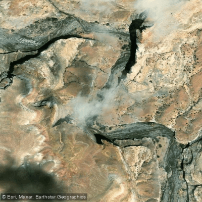
Muddy Creek
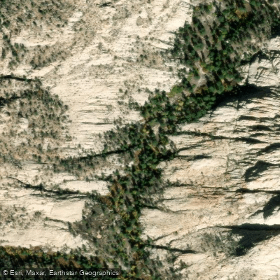
Pine Creek
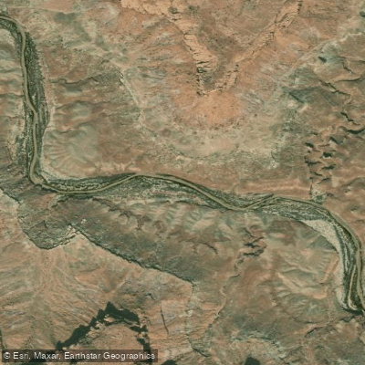
Dirty Devil River
East Fork Sevier River
Fish Lake
Otter Creek Reservoir
Explore Utah waters
Top paddling waters
Popular Cities
Loading popular cities...
Explore near Johnson Valley Reservoir
Access points
Nearby waters
More in Utah

Smarter Paddling Starts in the App.
Paddleways gives you everything you need to plan smarter, paddle better, and own every trip from first launch to takeout.