Logan River
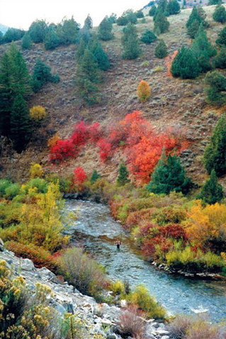
Logan River
- Boat Ramps
- 2
- Access Points
- 45
- Campsites
- 14
The Logan River is a scenic mountain stream originating in the Bear River Mountains of northern Utah. It flows approximately 54 miles southwest through Logan Canyon before joining the Little Bear River near Cutler Reservoir. The river is a major tributary of the Bear River system and an important water source for Cache Valley.
Paddling opportunities on the Logan River range from challenging whitewater in the upper canyon to gentle flatwater sections near the valley. The upper reaches offer Class II-V rapids suitable for experienced kayakers and rafters, with popular runs like the 9.5-mile Ricks Springs to Preston Valley Campground section. The middle canyon provides Class II-III whitewater, including the Staircase Section between 2nd and 1st Dams. Near Logan, a proposed kayak park and the Logan River Blue Trail offer recreational paddling in an urban setting. The river's difficulty varies significantly, from expert-level rapids to beginner-friendly flatwater. Paddlers should have appropriate skills for each section.
Spring runoff typically peaks in May or June, offering the best whitewater conditions. Summer and fall provide more moderate flows suitable for a wider range of paddlers.
The Logan River corridor supports diverse wildlife, including trout, beaver, and various bird species. It's renowned as a blue-ribbon trout stream, attracting anglers from across the region. Notable landmarks include the three dams in Logan Canyon, Stokes Nature Center, and the scenic canyon walls.
Primary access points include Ricks Springs, Preston Valley Campground, Wood Camp Campground, and the three dams. The city of Logan provides urban access points. For multi-day trips, paddlers can combine river sections with camping at Forest Service campgrounds along the canyon.
Historically, the Logan River played a crucial role in early settlement and development of Cache Valley. Today, it remains vital for irrigation, hydropower, and recreation. Paddlers should be aware of fishing regulations, dam releases, and potential hazards like wood in the river. The Logan River Task Force works to balance conservation and recreational use of this important waterway.
Water access, boat ramps & amenities
Learn how to get on Logan River. Uncover great paddling access points, boat ramps, and all the facilities you need for an unforgettable day on the water. Some locations shown may border or include private property. Always check property boundaries and applicable regulations before visiting. PaddleWays's Public & Private Land layer can help you plan your access with confidence.
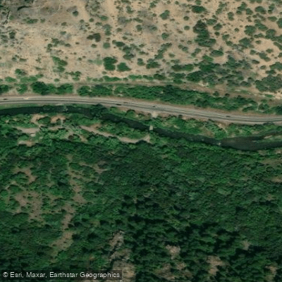
Bridger Campground Access
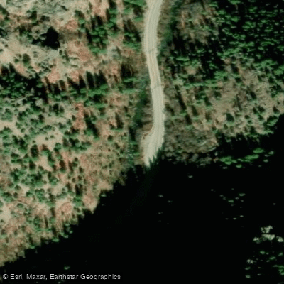
Route 89 Access
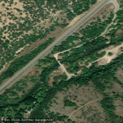
Forest Road 125 Access
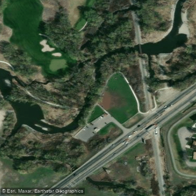
Rendezvous Park Access
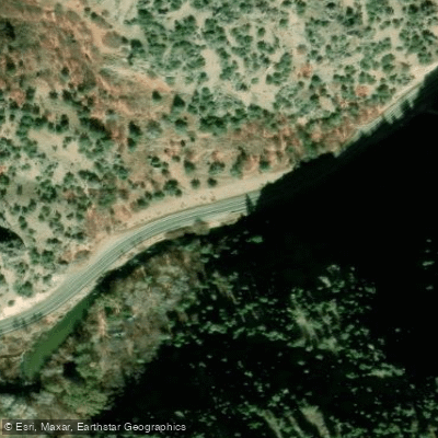
Route 89 Access
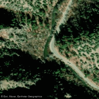
Route 89 Access
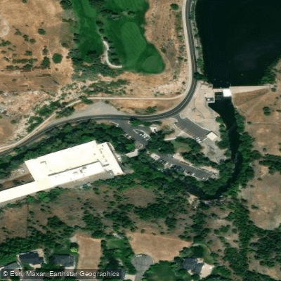
Canyon Road Access
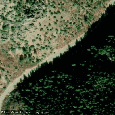
Route 89 Access
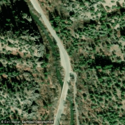
Route 89 Access
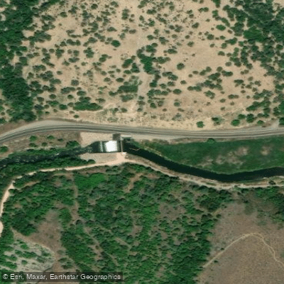
Third Dam Access
Paddle smarter with real-time insights
Whether you're en route and conditions shift or you're looking for the best spot based on current flows, we enable you to make informed decisions on the fly.








Find Places to Paddle

Over 400,000 Places to Paddle
Every user gets free access to launch points, boat ramps, and public property parcels.


Water and weather conditions (10 day forecast)
See the best times to paddle Logan River and check the forecast before you go.
CACHE HIGHLINE CANAL NEAR LOGAN, UTAH
All Flow Stations
Paddling near Logan River
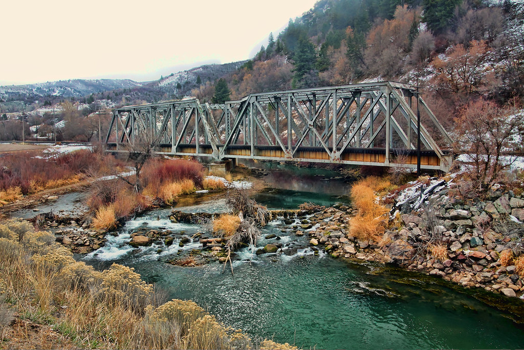
Weber River
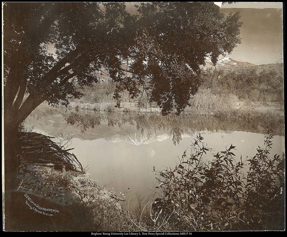
Ogden River
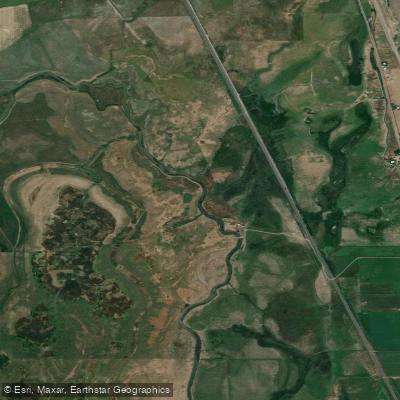
Bear River
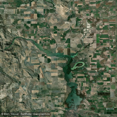
Cutler Reservoir
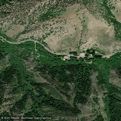
Blacksmith Fork
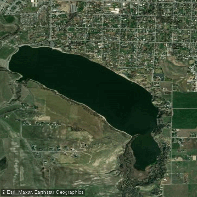
Hyrum Reservoir
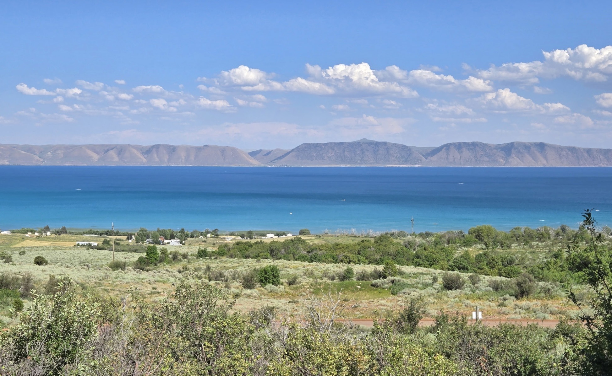
Bear Lake
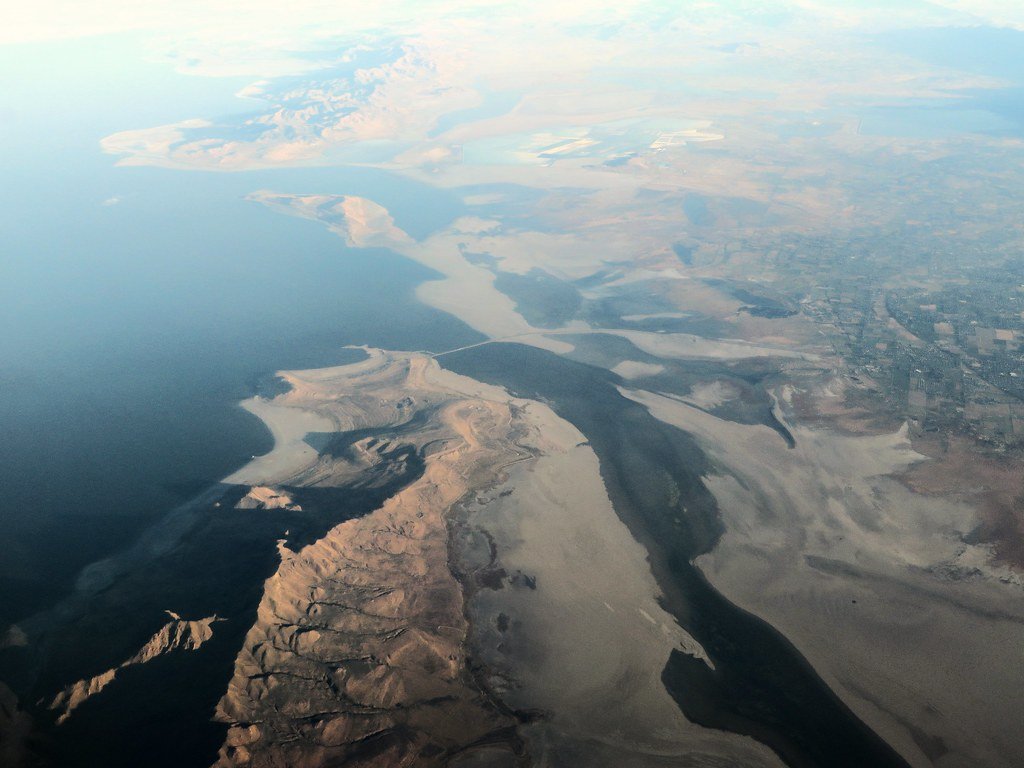
Great Salt Lake
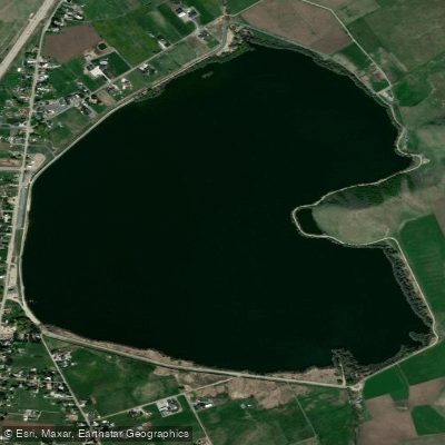
Mantua Reservoir
Explore Utah waters
Top paddling waters
Popular Cities
Loading popular cities...
Explore near Logan River
Access points
Nearby waters
More in Utah

Smarter Paddling Starts in the App.
Paddleways gives you everything you need to plan smarter, paddle better, and own every trip from first launch to takeout.