Price River
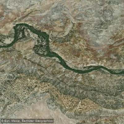
Price River
- Boat Ramps
- 1
- Access Points
- 16
- Campsites
- 13
The Price River, a 137-mile long tributary of the Green River, flows through eastern Utah's Carbon and Emery counties, offering a diverse range of paddling experiences through scenic desert landscapes. This river system provides opportunities for both novice and expert paddlers, with sections ranging from calm Class I waters to challenging Class V rapids.
The river's journey begins at Scofield Reservoir in the Wasatch Plateau, winding its way through varied terrain before joining the Green River. The Upper Price River section, a 15-mile stretch from Scofield Reservoir to the picnic area above Price Canyon, offers an excellent introduction to whitewater with Class I-III rapids. This section is ideal for intermediate paddlers and provides a beautiful backdrop of Utah's scenery.
For more experienced paddlers, the Price Canyon section presents a thrilling 8.5-mile run with Class III-V rapids. This challenging stretch from the picnic area to Castle Gate demands technical skills and is best suited for expert kayakers. The canyon setting adds to the excitement and beauty of the run.
The Lower Price River, running from Woodside to the confluence with the Green River, offers a remote and adventurous 28-mile journey through the Utah desert. This section, typically done as an overnight trip, combines 22 miles on the Price River with 6 miles on the Green River, ending at Swasey's Beach. It features Class III-V rapids and provides a unique transition between two distinct river environments.
The Price River's paddling season is primarily during spring runoff, typically peaking in May and early June. Water levels can fluctuate dramatically, with a minimum recommended flow of 200 CFS for the lower sections. Paddlers should carefully monitor water levels and be prepared for potentially challenging conditions.
The river corridor supports a variety of desert flora and fauna, including cottonwood trees, willows, and potentially desert bighorn sheep. The surrounding landscape showcases the raw beauty of Utah's red rock country.
Notable landmarks along the river include Price Canyon, the historic town of Woodside, and the confluence with the Green River. The area is rich in Native American history, with rock art sites scattered throughout the region.
Access points for the river include Scofield Reservoir, the Price Canyon Recreation Area, Woodside, and Swasey's Beach on the Green River. Nearby towns such as Price and Helper can serve as bases for river expeditions.
Safety is paramount when paddling the Price River. The remote nature of some sections, particularly the lower river, requires careful planning and self-sufficiency. Paddlers should be aware of potential flash floods, especially during monsoon season.
For those seeking a multi-day adventure, combining the Upper Price River and Price Canyon sections offers a challenging 23.5-mile trip. The Lower Price River to Green River confluence provides an even more extended expedition option for experienced paddlers looking for a true wilderness experience.
The Price River, with its varied character and stunning desert setting, offers a unique paddling experience in the heart of Utah's canyon country. From family-friendly floats to expert-level whitewater, this river has something to offer for paddlers of all skill levels, making it a hidden gem among Utah's waterways.
Water access, boat ramps & amenities
Learn how to get on Price River. Uncover great paddling access points, boat ramps, and all the facilities you need for an unforgettable day on the water. Some locations shown may border or include private property. Always check property boundaries and applicable regulations before visiting. PaddleWays's Public & Private Land layer can help you plan your access with confidence.
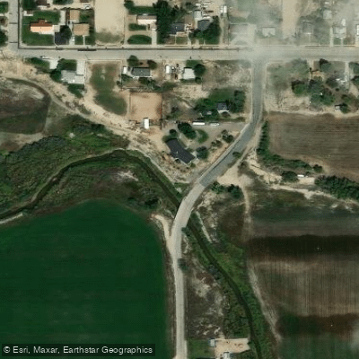
S 500 West Fishing Access Site
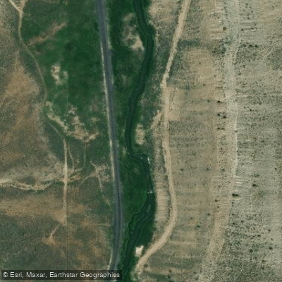
Lower Fish Creek Access
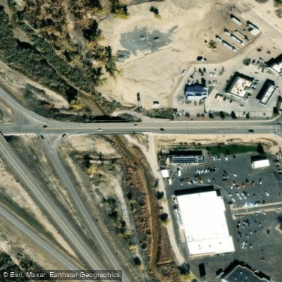
W Prince River Drive Fishing Access Site
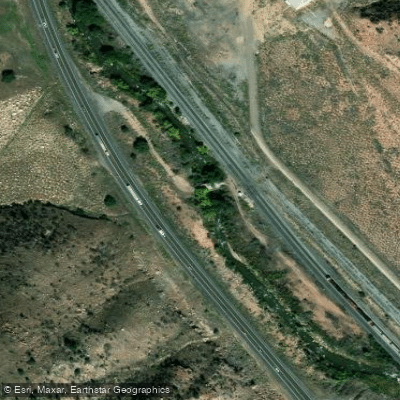
Castle Gate Access
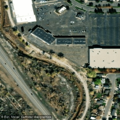
Price River Trail Fishing Access Site
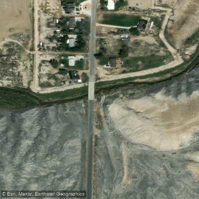
S Lower Miller Creek Road Fishing Access Site
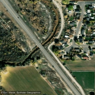
SR 6 Bridge Fishing Access Site
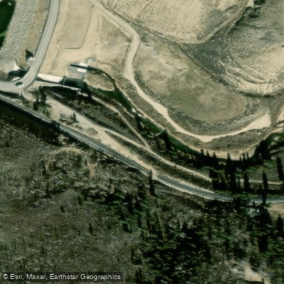
Lower Fish Creek Access
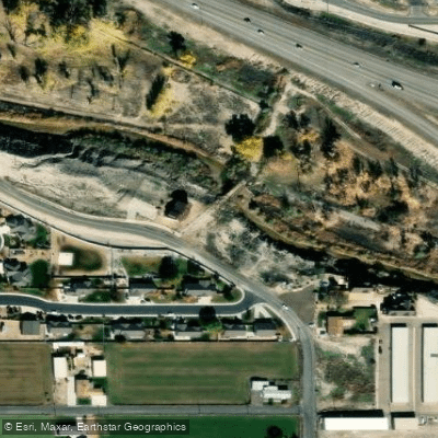
South Fairgrounds Road Fishing Access Site
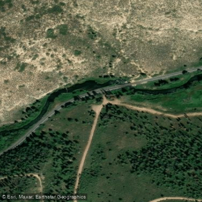
Lower Fish Creek Access
Paddle smarter with real-time insights
Whether you're en route and conditions shift or you're looking for the best spot based on current flows, we enable you to make informed decisions on the fly.








Find Places to Paddle

Over 400,000 Places to Paddle
Every user gets free access to launch points, boat ramps, and public property parcels.


Water and weather conditions (10 day forecast)
See the best times to paddle Price River and check the forecast before you go.
PRICE RIVER AT WOODSIDE, UT
All Flow Stations
Paddling near Price River
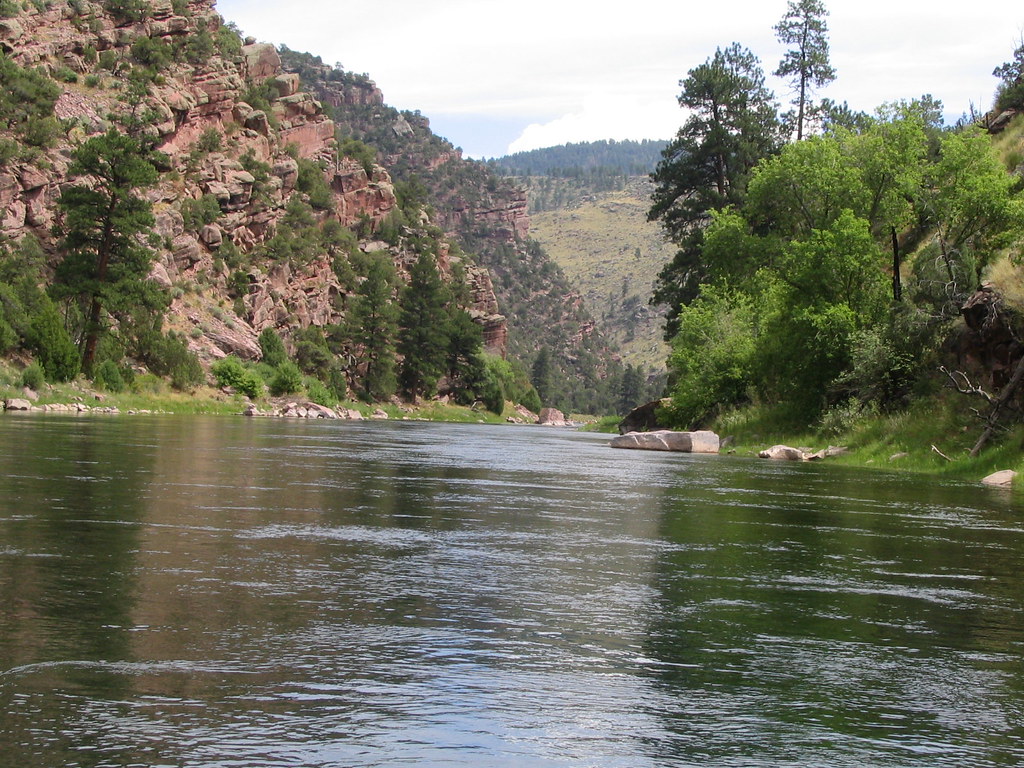
Green River

Colorado River
Huntington Creek
San Rafael River
Dirty Devil River
Kane Springs Creek
Muddy Creek
Fremont River
Rock Creek
Explore Utah waters
Top paddling waters
Popular Cities
Loading popular cities...
Explore near Price River
Access points
- Price River Boat Ramp
- S 500 West Fishing Access Site
- Lower Fish Creek Access
- W Prince River Drive Fishing Access Site
- Castle Gate Access
- Price River Trail Fishing Access Site
- S Lower Miller Creek Road Fishing Access Site
- SR 6 Bridge Fishing Access Site
- Lower Fish Creek Access
- South Fairgrounds Road Fishing Access Site
- Lower Fish Creek Access
- Lower Fish Creek Access
- All 29 spots
Nearby waters
More in Utah

Smarter Paddling Starts in the App.
Paddleways gives you everything you need to plan smarter, paddle better, and own every trip from first launch to takeout.