Marrowbone Creek Boat Ramp
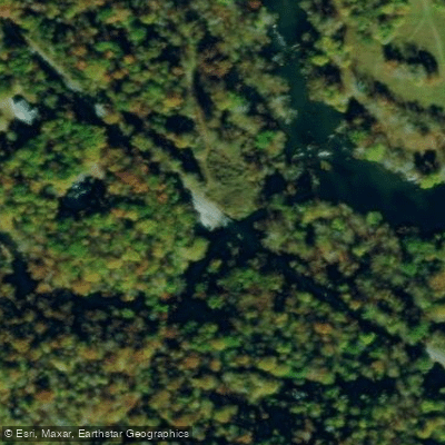
Marrowbone Creek Boat Ramp
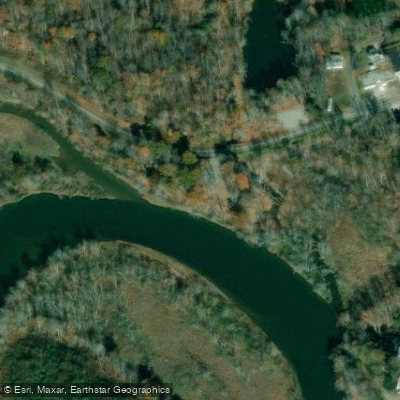
Marrowbone Creek boat ramp provides convenient access to the Smith River, a scenic 44. 5-mile paddling route through Henry County.
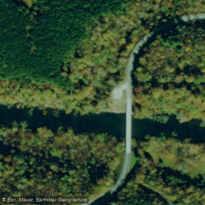
The ramp features a steep entrance, on-site parking, and serves as the starting point for a scenic 4-mile stretch to Mitchell Bridge Access with Class I & II rapids possible.
Note that water temperature is cold year-round and paddlers should check USGS gauges and the Philpott Dam generation schedule before launching.
Nearby points of interest
Find excellent paddling spots, easy access to boat ramps, and all the amenities you need for a memorable day. Your adventure starts here.
Water and weather conditions (10 day forecast)
Check the forecast at Marrowbone Creek Boat Ramp before you go paddling.
No forecast data available.
Paddling near Marrowbone Creek Boat Ramp

Smith Mountain Lake
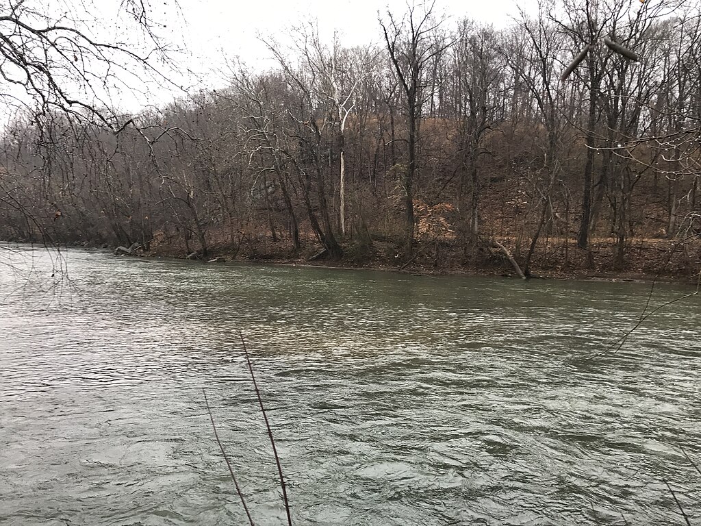
Smith River
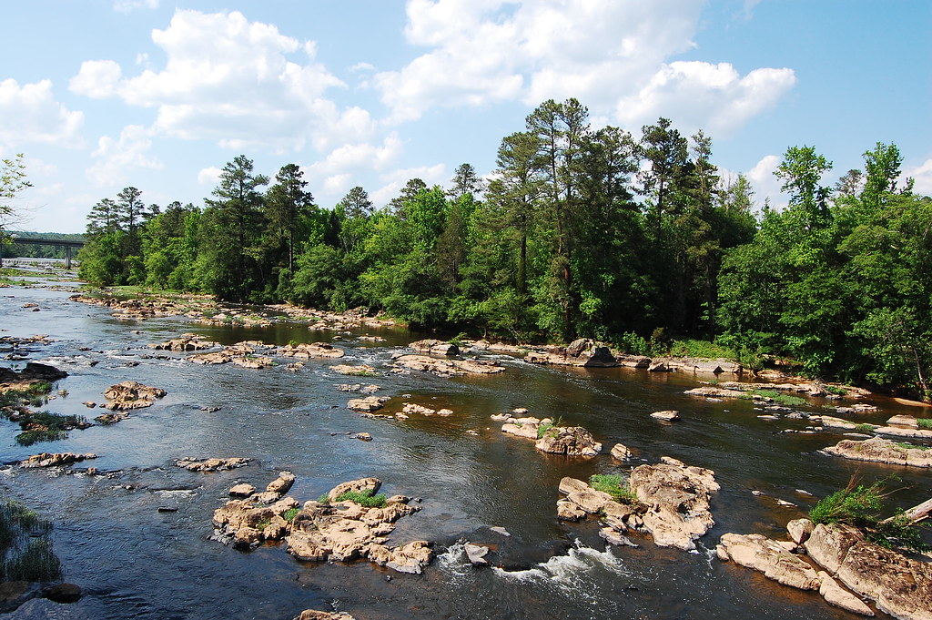
Haw River
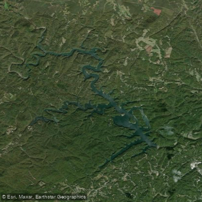
Philpott Lake
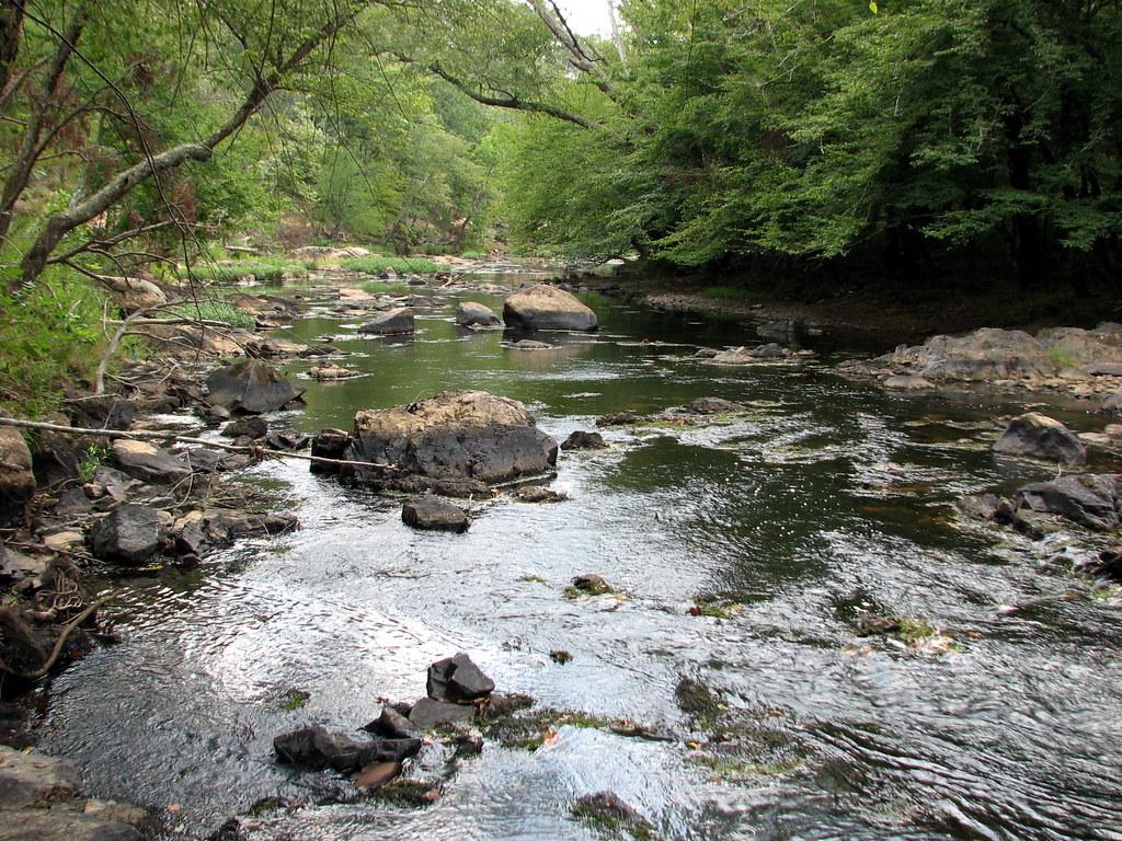
Eno River

Neuse River
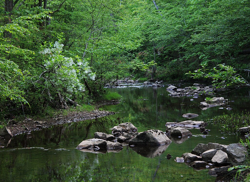
New Hope Creek
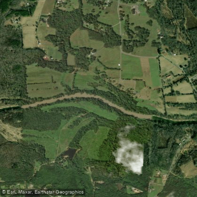
Dan River
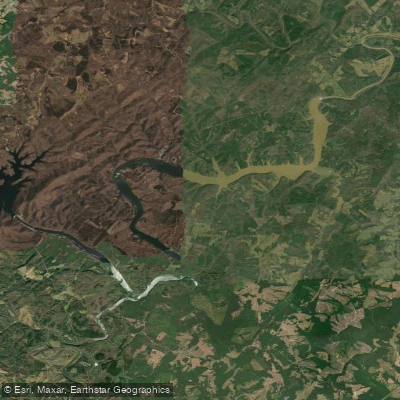
Leesville Lake
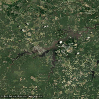
Hyco Lake
Virginia licenses and regulations
Explore Virginia waters
Top paddling waters
No waters available right now.
Popular Cities
Loading popular cities...
Explore near Marrowbone Creek Boat Ramp
Nearby spots
Nearby waters
More in Virginia

Smarter Paddling Starts in the App.
Paddleways gives you everything you need to plan smarter, paddle better, and own every trip from first launch to takeout.