Haw River
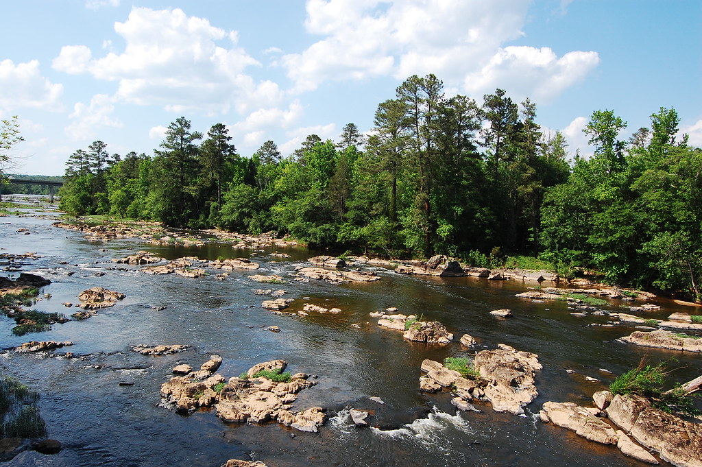
Haw River
- Boat Ramps
- 14
- Access Points
- 20
- Campsites
- 6
The Haw River is a scenic waterway that flows through the heart of North Carolina's Piedmont region. Stretching approximately 110 miles from its headwaters near Kernersville to its confluence with the Deep River to form the Cape Fear River, the Haw offers paddlers a diverse range of experiences, from tranquil flatwater sections to exciting whitewater rapids.
The river is best known for its varied paddling opportunities, with sections suitable for beginners to advanced paddlers. The upper reaches of the Haw feature mostly flatwater and gentle Class I rapids, making it ideal for novice paddlers and families. As the river progresses southward, it gains volume and gradient, offering more challenging Class II and III rapids, particularly in the sections near Bynum and below Highway 64.
One of the most popular and exciting stretches is the 1-mile section from Highway 64 to Jordan Reservoir, considered the best whitewater run in the Research Triangle area. This Class II-III section features notable rapids like Gabriel's Bend, Moose Jaw Falls, and The Maze, providing thrilling experiences for intermediate to advanced paddlers.
For those seeking a more relaxed journey, the 5.8-mile flatwater section from Swepsonville to Saxapahaw offers year-round paddling opportunities. This stretch includes a unique boat slide at Puryear Dam, adding a fun element to the portage.
The Haw River is typically best paddled in spring and fall when water levels are most reliable. Summer can be enjoyable for flatwater sections, but whitewater paddlers should check water levels carefully during this season. Winter paddling is possible but requires proper cold-water gear and experience.
Along its course, the Haw River showcases the natural beauty of the North Carolina Piedmont. Paddlers can expect to see a variety of wildlife, including great blue herons, bald eagles, and river otters. The riverbanks are lined with mature hardwood forests, providing habitat for numerous plant and animal species.
The river's history is closely tied to the region's industrial past, with several old textile mill towns dotting its banks. Paddlers can explore this heritage, particularly in sections like the 5-mile stretch from Glencoe to Red Slide Park, where you'll paddle under towering old textile mills and past the ruins of old dams.
Key access points and nearby towns include Haw River State Park, Burlington, Graham, Saxapahaw, and Bynum. These locations offer put-in and take-out spots, as well as amenities for paddlers. Saxapahaw, in particular, has become a popular destination, offering a mix of outdoor recreation, dining, and cultural experiences.
Safety is paramount when paddling the Haw. Water levels can change rapidly, especially after heavy rains, so it's crucial to check current conditions before embarking on a trip. Paddlers should always wear appropriate safety gear, including life jackets, and be aware of potential hazards such as strainers and low-head dams.
For those looking to extend their adventure, multi-day trips are possible by combining several sections of the river. Popular options include paddling from Saxapahaw to Jordan Lake, which can be split into manageable day trips with camping opportunities along the way. The Haw River Trail, which includes both land and paddle trails, is an ongoing conservation and recreation project that aims to protect the river corridor while providing public access. This initiative has helped to establish numerous access points and camping areas along the river, making it increasingly accessible to paddlers and outdoor enthusiasts.
Whether you're seeking a peaceful float through nature, an adrenaline-pumping whitewater experience, or a journey through North Carolina's industrial heritage, the Haw River offers a paddling adventure for everyone. Its diverse character and proximity to major population centers make it a cherished resource for both locals and visitors alike.
Water access, boat ramps & amenities
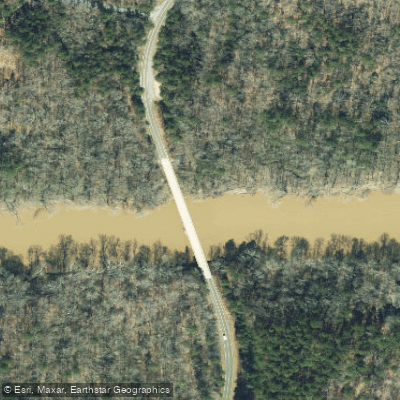
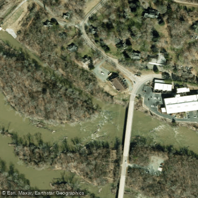
Learn how to get on Haw River. Uncover great paddling access points, boat ramps, and all the facilities you need for an unforgettable day on the water. Some locations shown may border or include private property. Always check property boundaries and applicable regulations before visiting. PaddleWays's Public & Private Land layer can help you plan your access with confidence.
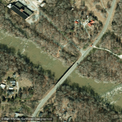
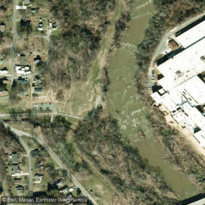
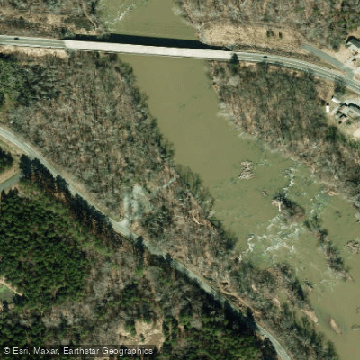
Paddle smarter with real-time insights
Whether you're en route and conditions shift or you're looking for the best spot based on current flows, we enable you to make informed decisions on the fly.








Find Places to Paddle

Over 400,000 Places to Paddle
Every user gets free access to launch points, boat ramps, and public property parcels.


Water and weather conditions (10 day forecast)
See the best times to paddle Haw River and check the forecast before you go.
HAW RIVER NEAR BYNUM, NC
All Flow Stations
Paddling near Haw River
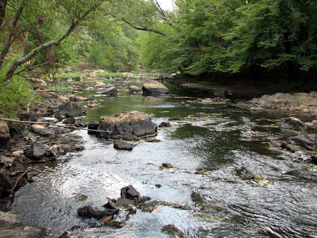
Eno River
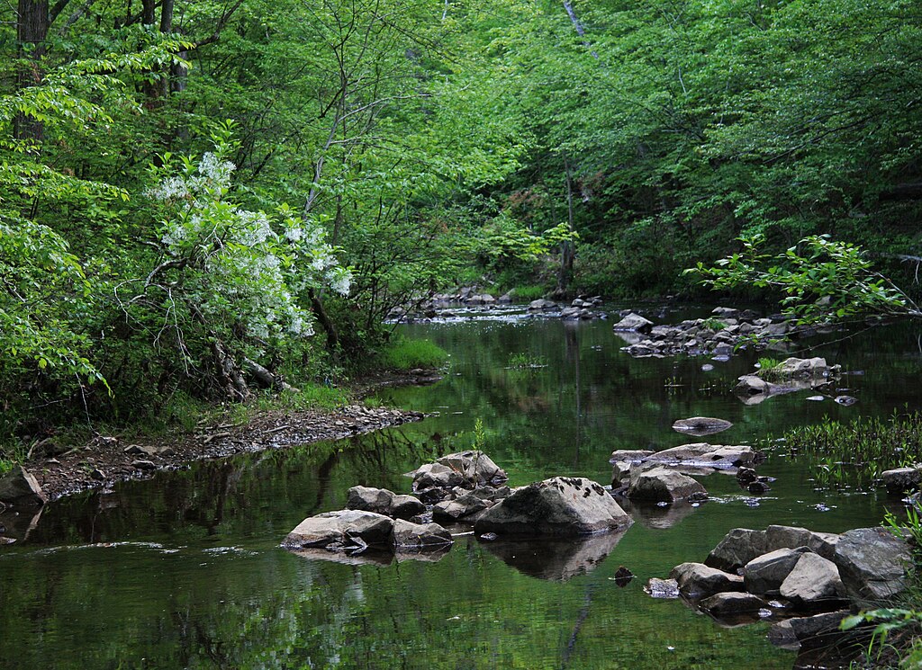
New Hope Creek

Neuse River
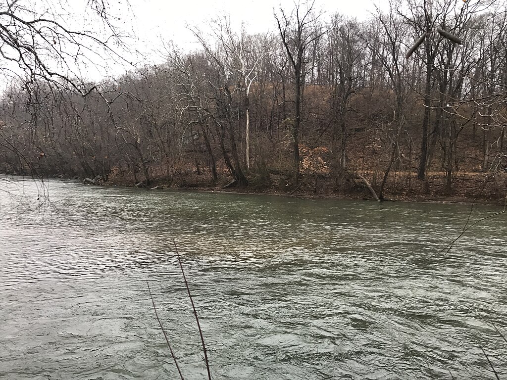
Smith River
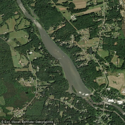
Sellers Manufacturing Company Lake
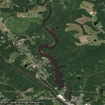
Stony Creek Reservoir
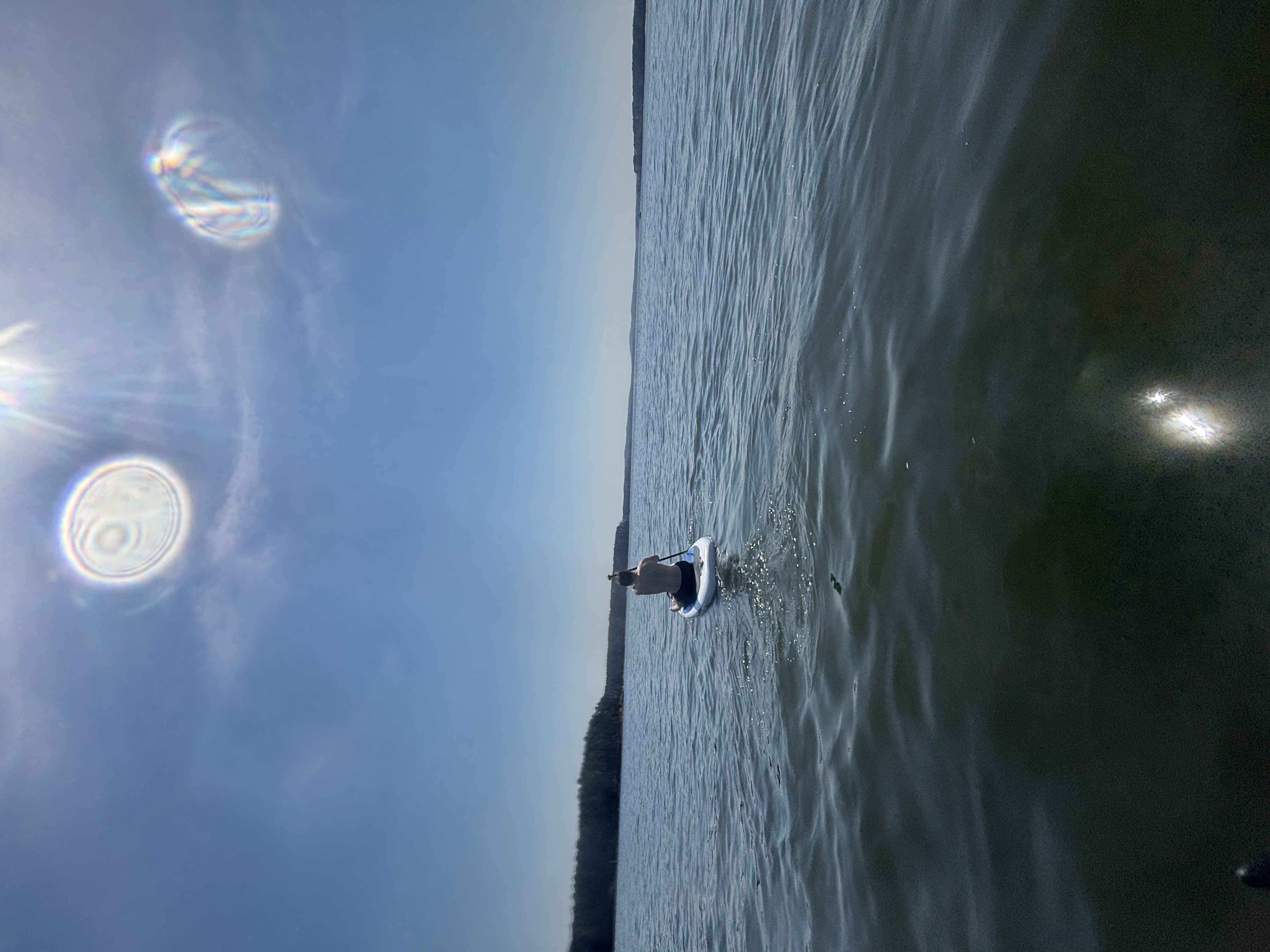
B Everett Jordan Lake
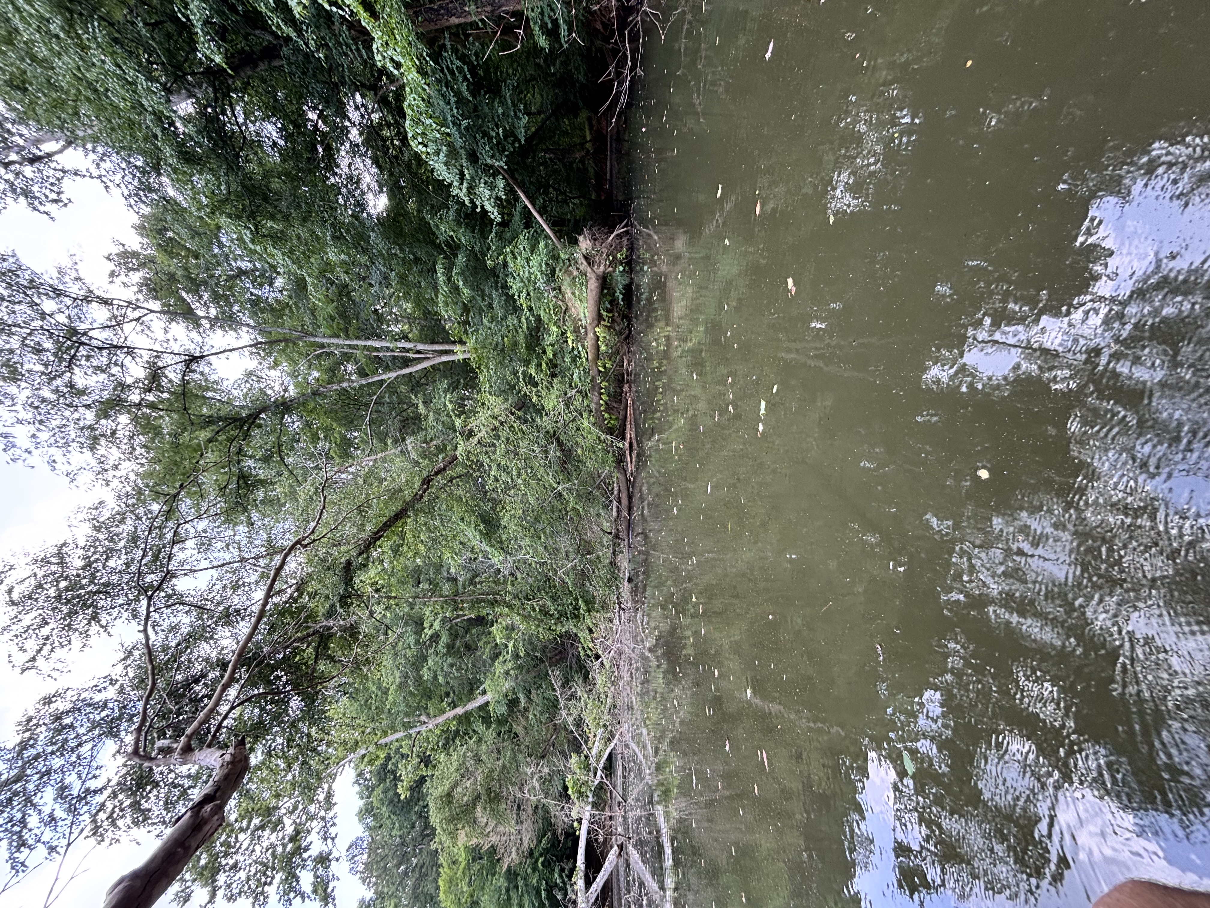
Big Alamance Creek
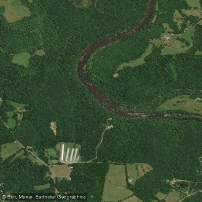
Deep River
Explore North Carolina waters
Top paddling waters
Popular Cities
Loading popular cities...
Explore near Haw River
Access points
- Altamahaw Paddle Access Boat Ramp
- Shallow Ford Paddle Access Boat Ramp
- Graham Paddle Access Boat Ramp
- Indian Valley Paddle Access Boat Ramp
- Brooks Bridge Paddle Access Boat Ramp
- Union Bridge Paddle Access Boat Ramp
- Great Bend Park Paddle Access Boat Ramp
- Glencoe Paddle Access Boat Ramp
- Red Slide Park Paddle Access Boat Ramp
- Swepsonville River Park Lower Access Boat Ramp
- Dan's Take Out Boat Ramp
- Pipeline Crossing Hillslide
- All 273 spots
Nearby waters
More in North Carolina

Smarter Paddling Starts in the App.
Paddleways gives you everything you need to plan smarter, paddle better, and own every trip from first launch to takeout.