Dan River
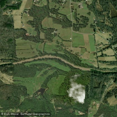
Dan River
- Boat Ramps
- 16
- Access Points
- 24
- Campsites
- 4
The Dan River is a scenic waterway that originates in the Blue Ridge Mountains of Patrick County, Virginia and flows southeast for 214 miles through North Carolina before joining the Roanoke River. Major tributaries include the Mayo River and Smith River. The Dan forms part of the larger Roanoke River Basin watershed.
Paddlers can enjoy a variety of experiences on the Dan, from placid flatwater to challenging whitewater. The upper sections in Virginia offer Class II-V rapids, including the rugged 6-mile Grand Canyon of Virginia stretch below Talbott Dam. As the river enters North Carolina, it mellows into mostly Class I-III rapids suitable for intermediate paddlers. Popular sections include the Kibler Valley run and the scenic stretch through Hanging Rock State Park.
The Dan's difficulty ranges from beginner-friendly Class I floats to expert Class V whitewater, with many intermediate options. Most sections are appropriate for canoes and kayaks. The river is typically paddled from spring through fall, with summer being ideal for tubing and family trips. Higher water levels in spring can create more challenging conditions.
Wildlife along the Dan includes river otters, bald eagles, and over 50 species of fish. The endangered Roanoke logperch is found in some sections. Scenic highlights include towering bluffs, boulder gardens, and lush forests.
Key access points include Hanging Rock State Park, Eden, and Danville. The river passes through rural areas, small towns, and the city of Danville. Historically, the Dan powered textile mills and was an important transportation route. Today it's valued for recreation and as a water source for communities.
Paddlers should be aware of dams, strainers, and rapidly changing water levels, especially in the upper sections. Some areas have regulations on alcohol use and littering. Multi-day trips are possible by camping at designated sites along the river.
With its variety of paddling options and beautiful scenery, the Dan River offers something for almost every skill level as it winds through the picturesque countryside of southern Virginia and northern North Carolina.
Water access, boat ramps & amenities
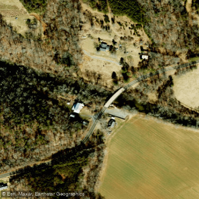
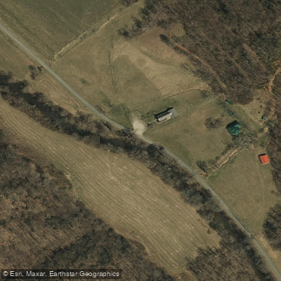
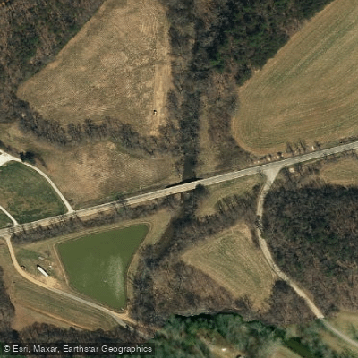
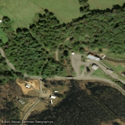
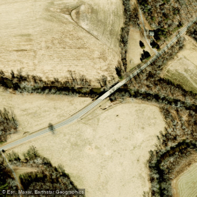
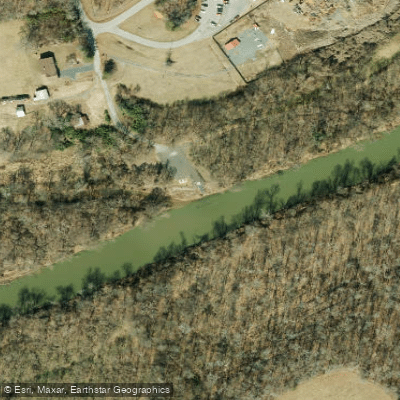
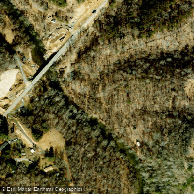
Learn how to get on Dan River. Uncover great paddling access points, boat ramps, and all the facilities you need for an unforgettable day on the water. Some locations shown may border or include private property. Always check property boundaries and applicable regulations before visiting. PaddleWays's Public & Private Land layer can help you plan your access with confidence.
Paddle smarter with real-time insights
Whether you're en route and conditions shift or you're looking for the best spot based on current flows, we enable you to make informed decisions on the fly.








Find Places to Paddle

Over 400,000 Places to Paddle
Every user gets free access to launch points, boat ramps, and public property parcels.


Water and weather conditions (10 day forecast)
See the best times to paddle Dan River and check the forecast before you go.
DAN RIVER AT STP NEAR DANVILLE, VA
All Flow Stations
Paddling near Dan River
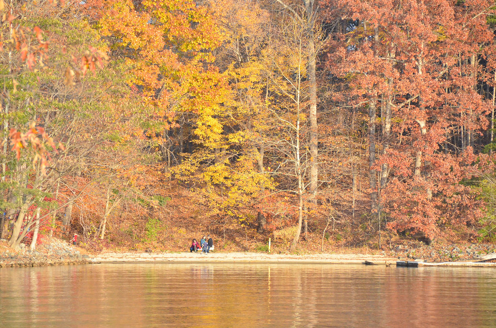
Smith Mountain Lake
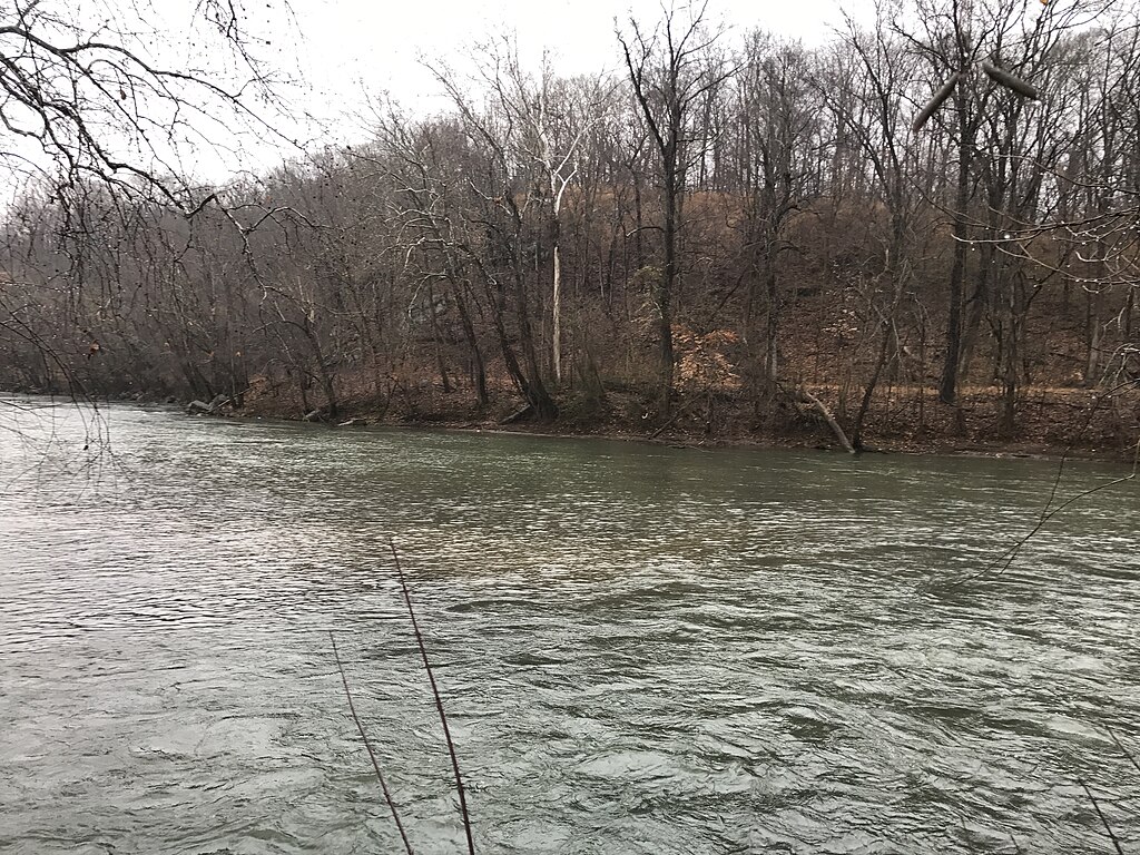
Smith River
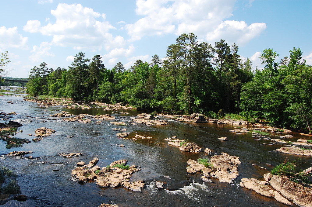
Haw River
Philpott Lake
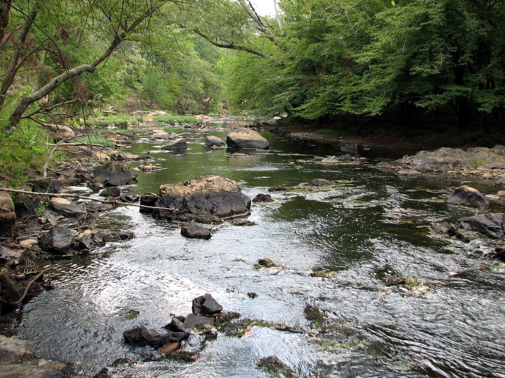
Eno River

Neuse River
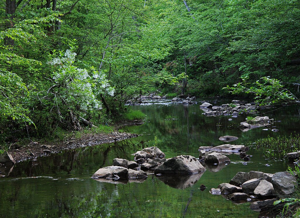
New Hope Creek
Leesville Lake
Hyco Lake
Explore North Carolina waters
Top paddling waters
Popular Cities
Loading popular cities...
Explore near Dan River
Access points
- Jessup Mill Access
- Pinnacles Hydo Plant Access
- Hanging Rock State Park Boat Ramp
- Highway 704 River Access Boat Ramp
- Moratock Park Access Boat Ramp
- Moratock Park Boat Ramp
- Leaksville Landing Boat Ramp
- Lindsey Bridge River Access Boat Ramp
- Settles Bridge Access Boat Ramp
- Harts Boat Ramp
- Hemlock Golf Course River Access Boat Ramp
- Milton Boat Ramp
- All 211 spots
Nearby waters
More in North Carolina

Smarter Paddling Starts in the App.
Paddleways gives you everything you need to plan smarter, paddle better, and own every trip from first launch to takeout.