Philpott Lake
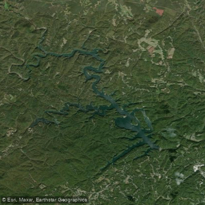
Philpott Lake
- Boat Ramps
- 4
- Access Points
- 8
- Campsites
- 6
Philpott Lake in Virginia offers 3,000 acres of pristine paddling opportunities surrounded by 20,000 acres of protected forest. The lake features 100 miles of undeveloped shoreline and nine boat launches, providing ample access for canoes and kayaks. Paddlers can explore the 25-mile Philpott Lake Blueway water trail, which connects launch sites and points of interest around the lake.
Notable sights include Bowens Creek Falls, only accessible by paddle craft, and Deer Island, which offers paddle-in camping. The lake's clear waters allow visibility of colorful pebbles on the bottom in shallow areas. Wildlife spotting opportunities include cormorants and other waterfowl.
Philpott Lake is known for its tranquil, flatwater conditions, making it ideal for beginners and families. The lake's numerous coves and inlets provide sheltered paddling areas. For a unique experience, paddlers can attend summer "Concerts by Canoe" events featuring bands performing on a floating stage.
Facilities for paddlers include the Philpott Marina, which offers boat rentals, supplies, and a campground. Several recreation areas around the lake provide beaches, picnic areas, and camping options. Fairy Stone State Park on the lake's southwestern edge rents canoes, kayaks, and paddleboards seasonally.
The Army Corps of Engineers created Philpott Lake in 1953 for flood control and hydropower. Today, it's considered one of Virginia's best lakes for smallmouth bass and trout fishing, adding interest for anglers.
Paddlers should be aware of potential boat traffic, especially near marinas and popular recreation areas. While no specific hazards or restrictions for paddlers are noted, standard water safety practices should always be followed.
Water access, boat ramps & amenities
Learn how to get on Philpott Lake. Uncover great paddling access points, boat ramps, and all the facilities you need for an unforgettable day on the water. Some locations shown may border or include private property. Always check property boundaries and applicable regulations before visiting. PaddleWays's Public & Private Land layer can help you plan your access with confidence.
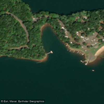
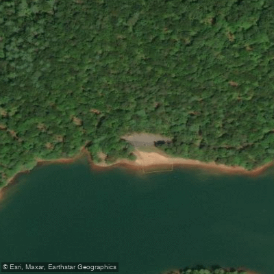
Paddle smarter with real-time insights
Whether you're en route and conditions shift or you're looking for the best spot based on current flows, we enable you to make informed decisions on the fly.








Find Places to Paddle

Over 400,000 Places to Paddle
Every user gets free access to launch points, boat ramps, and public property parcels.


Water and weather conditions (10 day forecast)
See the best times to paddle Philpott Lake and check the forecast before you go.
SMITH RIVER NEAR PHILPOTT, VA
Paddling near Philpott Lake
New River
Smith Mountain Lake
Smith River

James River
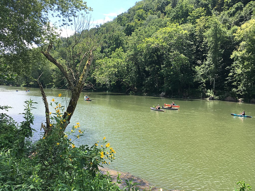
Greenbrier River
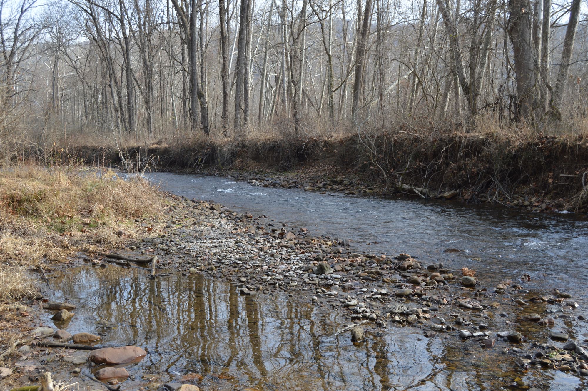
Jackson River
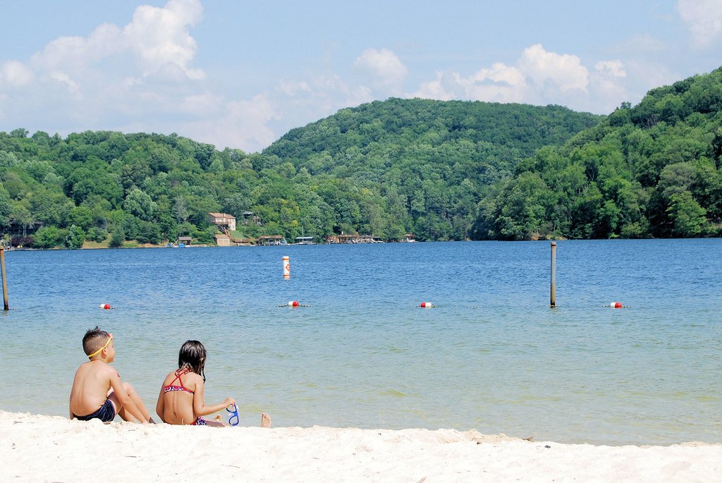
Claytor Lake
Roanoke River
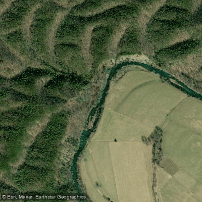
Craig Creek
Explore Virginia waters
Top paddling waters
Popular Cities
Loading popular cities...
Explore near Philpott Lake
Access points
- Goose Point Boat Ramp
- Twin Ridge Park Boat Ramp
- Philpott Marina Boat Ramp
- Salthouse Branch Boat Ramp
- Goose Point Park Access
- Salthouse Branch Trail Access
- Horseshoe Point Recreation Area Access
- Mize Point Recreation Area Access
- Langlad Campground
- Salthouse Branch Campground
- Goose Point Campground
- Goose Point Campground
- All 20 spots
Nearby waters
More in Virginia

Smarter Paddling Starts in the App.
Paddleways gives you everything you need to plan smarter, paddle better, and own every trip from first launch to takeout.