Smith River
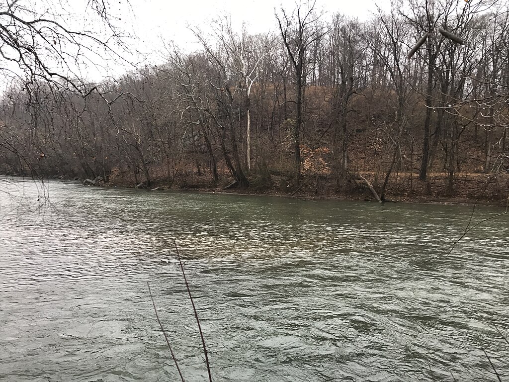
Smith River
- Boat Ramps
- 10
- Access Points
- 15
- Campsites
- 7
The Smith River in Montana is a pristine waterway renowned for its scenic beauty and recreational opportunities. Originating in the Castle Mountains of central Montana, the river flows northward for approximately 110 miles before joining the Missouri River near Ulm. Its primary tributaries include Tenderfoot Creek, Sheep Creek, and Deep Creek. The crown jewel of the Smith River is the 59-mile permitted section from Camp Baker to Eden Bridge, managed as Smith River State Park. This stretch offers a multi-day float trip through a spectacular limestone canyon, with towering cliffs, lush forests, and abundant wildlife.
The river's difficulty is generally rated as Class I-II, suitable for intermediate paddlers, though some technical maneuvering is required around rocks and log jams at lower water levels. Floating season typically runs from mid-April through mid-July, with peak flows in late May to early June. Late summer and fall trips are possible but often require dragging boats through shallow sections.
The river supports a diverse ecosystem, including populations of brown and rainbow trout, black bears, elk, and bald eagles. Key landmarks along the float include notable rock formations like Devil's Dream and Sunset Cliffs, as well as numerous Native American pictograph sites. Designated boat camps are spaced along the river, offering primitive camping experiences amidst the rugged landscape.
Access to the permitted section is tightly controlled, with a competitive lottery system for launch dates. The put-in at Camp Baker is located about 27 miles north of White Sulphur Springs, while the take-out at Eden Bridge is approximately 40 miles southeast of Great Falls.
The Smith River holds significant cultural importance, with a history of use by indigenous peoples and early settlers. Today, it's prized for its exceptional fishing, particularly for brown trout, and its unspoiled natural beauty.
Safety considerations include proper food storage to avoid bear encounters, awareness of rapidly changing weather conditions, and the remote nature of the canyon with limited cell phone coverage. Floaters must be self-sufficient and practice Leave No Trace principles. The standard trip takes 3-5 days, allowing time to fish, explore side canyons, and enjoy the solitude of this remarkable river corridor.
With its combination of scenic grandeur, recreational opportunities, and controlled access, the Smith River float trip is considered one of the premier multi-day river experiences in the western United States.
Water access, boat ramps & amenities
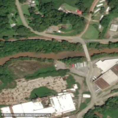
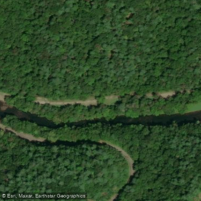
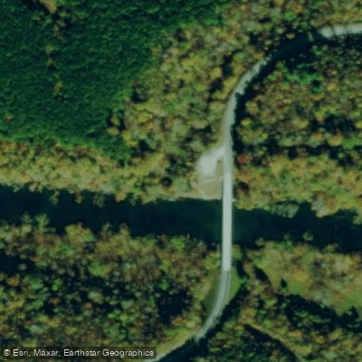
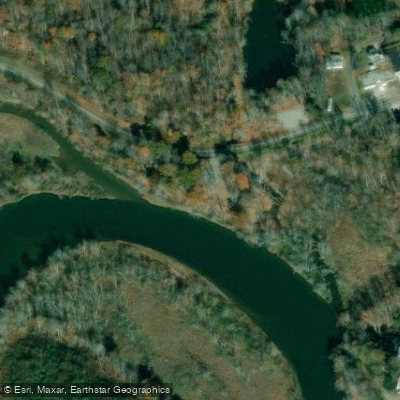
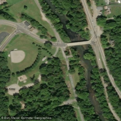
Learn how to get on Smith River. Uncover great paddling access points, boat ramps, and all the facilities you need for an unforgettable day on the water. Some locations shown may border or include private property. Always check property boundaries and applicable regulations before visiting. PaddleWays's Public & Private Land layer can help you plan your access with confidence.
Paddle smarter with real-time insights
Whether you're en route and conditions shift or you're looking for the best spot based on current flows, we enable you to make informed decisions on the fly.








Find Places to Paddle

Over 400,000 Places to Paddle
Every user gets free access to launch points, boat ramps, and public property parcels.


Water and weather conditions (10 day forecast)
See the best times to paddle Smith River and check the forecast before you go.
SMITH RIVER NEAR PHILPOTT, VA
All Flow Stations
Paddling near Smith River
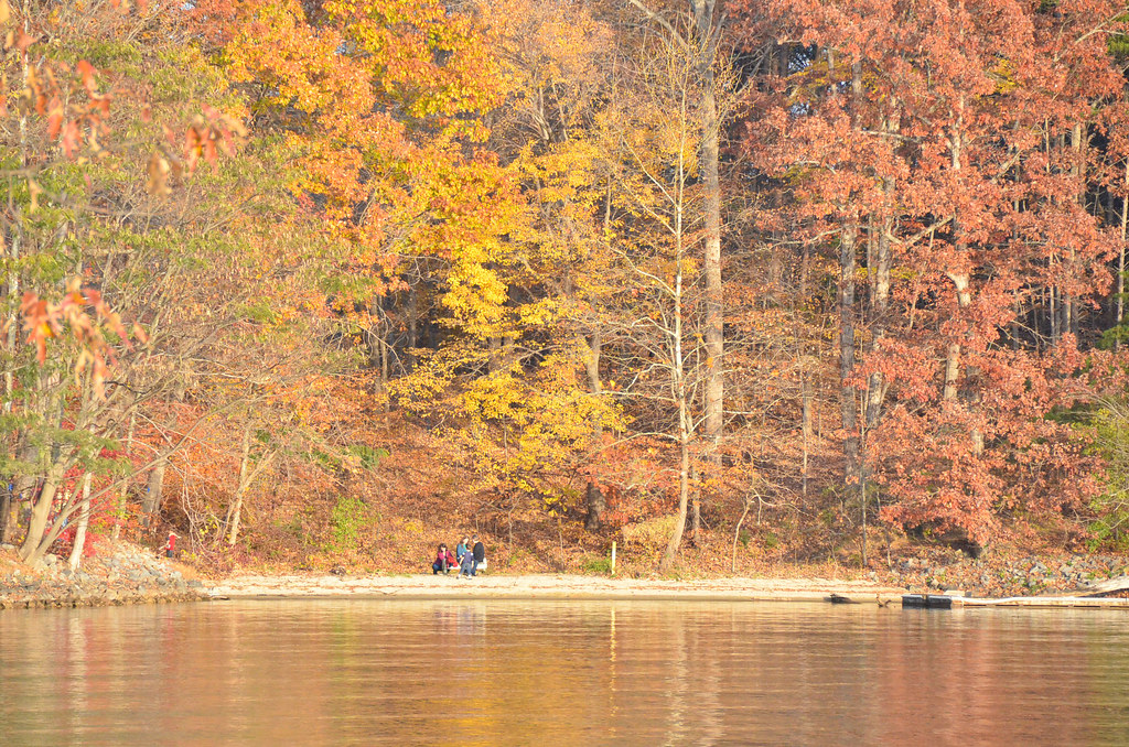
Smith Mountain Lake
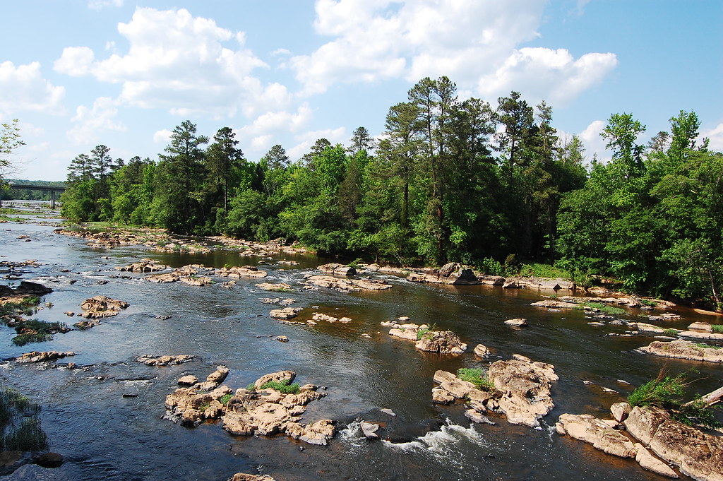
Haw River
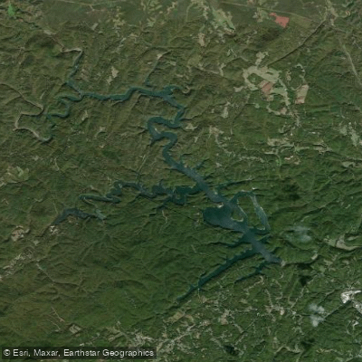
Philpott Lake
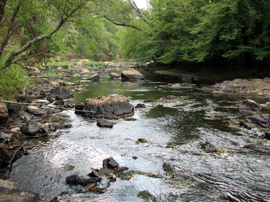
Eno River

Neuse River
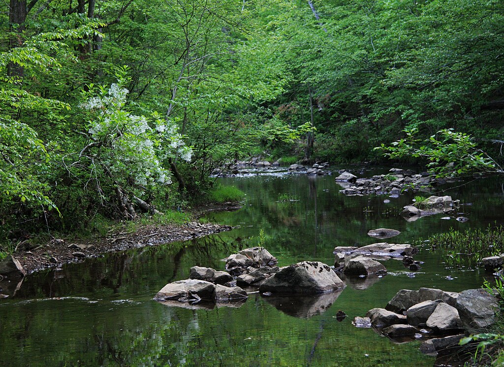
New Hope Creek
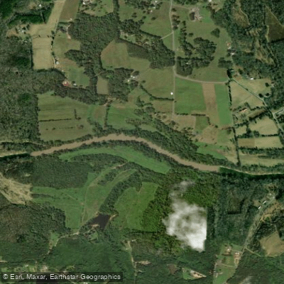
Dan River
Leesville Lake
Hyco Lake
Explore North Carolina waters
Top paddling waters
Popular Cities
Loading popular cities...
Explore near Smith River
Access points
- The Great Road Boat Ramp
- Trent Hill Bridge Boat Ramp
- Fieldale Trail Boat Ramp
- Sports Complex Boat Ramp
- River Brook Road Boat Ramp
- South Martinsville Boat Ramp
- Mitchell Bridge Boat Ramp
- Dan Spillway Road Boat Ramp
- Frith Road Boat Ramp
- Doe Run Boat Ramp
- Trent Hill Bridge Access
- River Brook Road Access
- All 54 spots
Nearby waters
More in North Carolina

Smarter Paddling Starts in the App.
Paddleways gives you everything you need to plan smarter, paddle better, and own every trip from first launch to takeout.