Leesville Lake
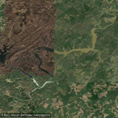
Leesville Lake
- Boat Ramps
- 4
- Access Points
- 5
- Campsites
- 1
Leesville Lake is a 3,400-acre reservoir located near Altavista, Virginia, straddling Pittsylvania, Campbell and Bedford counties. The lake experiences significant daily water level fluctuations of 1 to 10 feet due to hydroelectric power generation, which paddlers should be aware of for safety. Debris in the water can also pose hazards at certain times of the year.
The lake offers excellent opportunities for kayaking, canoeing, and stand-up paddleboarding. The lower half of the reservoir, from about mile marker 8 to Leesville Dam, provides the best paddling conditions and fish habitat. The upper reaches have more limited recreation potential due to cold water releases from Smith Mountain Lake.
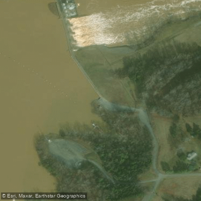
Two public boat ramps managed by the Department of Wildlife Resources provide access. One is located near the dam off Route 754, while the other is in the upstream area off Route 768 through Pittsville. Tri-County Marina on the north shore also offers boat launching.
Paddlers can expect to see a variety of wildlife, including bald eagles. The lake supports populations of largemouth bass, striped bass, catfish, and crappie. Water temperatures vary seasonally, with the upper part of the lake remaining cooler year-round due to releases from Smith Mountain Lake.
Facilities for paddlers are limited, but include the boat ramps, a picnic area and fishing pier near the dam, and one marina. A day use area is available near the Leesville dam on the Pittsylvania County side. The lake's shoreline remains largely undeveloped, though residential growth is increasing.
While Leesville Lake offers less crowded conditions than nearby Smith Mountain Lake, it provides similar recreational opportunities on a smaller scale. The lake's fluctuating water levels and debris require extra caution, but reward paddlers with a more secluded, natural setting for exploration.
Water access, boat ramps & amenities
Learn how to get on Leesville Lake. Uncover great paddling access points, boat ramps, and all the facilities you need for an unforgettable day on the water. Some locations shown may border or include private property. Always check property boundaries and applicable regulations before visiting. PaddleWays's Public & Private Land layer can help you plan your access with confidence.
Paddle smarter with real-time insights
Whether you're en route and conditions shift or you're looking for the best spot based on current flows, we enable you to make informed decisions on the fly.








Find Places to Paddle

Over 400,000 Places to Paddle
Every user gets free access to launch points, boat ramps, and public property parcels.


Water and weather conditions (10 day forecast)
See the best times to paddle Leesville Lake and check the forecast before you go.
No forecast data available.
Paddling near Leesville Lake

James River
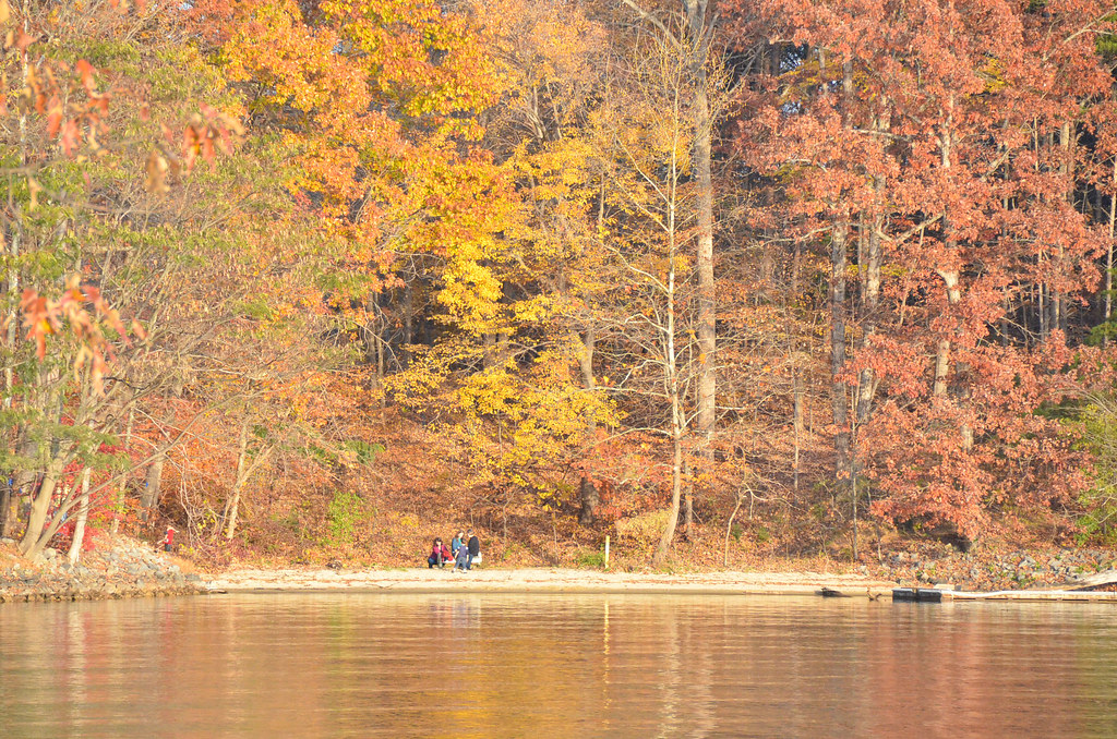
Smith Mountain Lake
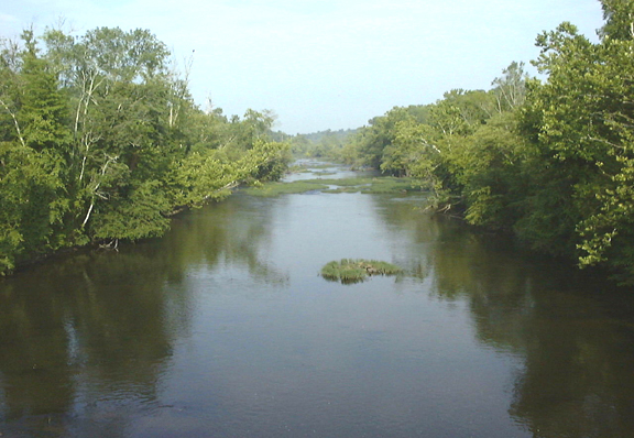
Appomattox River
Jackson River
Roanoke River
Maury River

Carvin Cove Reservoir
Lake Merriweather
Tye River
Explore Virginia waters
Top paddling waters
Popular Cities
Loading popular cities...
Explore near Leesville Lake
Access points
- Myer's Creek Boat Ramp
- Leesville Dam Boat Ramp
- Leesville Lake Marina Boat Ramp
- Tri-County Marina Boat Ramp
- Leesville Dam Access
- Lowman Campground
- Smith Mountain Lake Cooperativ Parking
- Smith Mountain Lake Cooperative Parking
- Smith Mountain Lake Cooperative Parking
- Smith Mountain Lake Cooperative Parking
- Smith Mountain Lake Cooperative Parking
- Trailhead Parking
Nearby waters
More in Virginia

Smarter Paddling Starts in the App.
Paddleways gives you everything you need to plan smarter, paddle better, and own every trip from first launch to takeout.