Curated by PaddleWays
RouteClass I–II
- Distance
- 5.7 mi
- Paddle time
- ~2 hrs
- Best for
- Beginners
- Put-in → take-out
- Boat Ramp → North Bay Access
Strong west winds near take-out
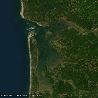
The Humptulips River flows through the southwestern corner of Washington's Olympic Peninsula, originating in the Olympic Mountains and draining into the northern end of Grays Harbor. The river system consists of two main branches - the East Fork and West Fork - which converge to form the mainstem Humptulips. The watershed covers approximately 250 square miles of mostly commercial forestlands before the river empties into the Pacific Ocean.
For paddlers, the Humptulips offers a range of whitewater experiences across its various sections. The West Fork features a challenging 3.5-mile Class IV+ gorge run from FR 2204 bridge to FR 2203 access, demanding advanced paddling skills to navigate its continuous technical rapids. Downstream, a more moderate 6.5-mile Class II stretch provides an easier option.
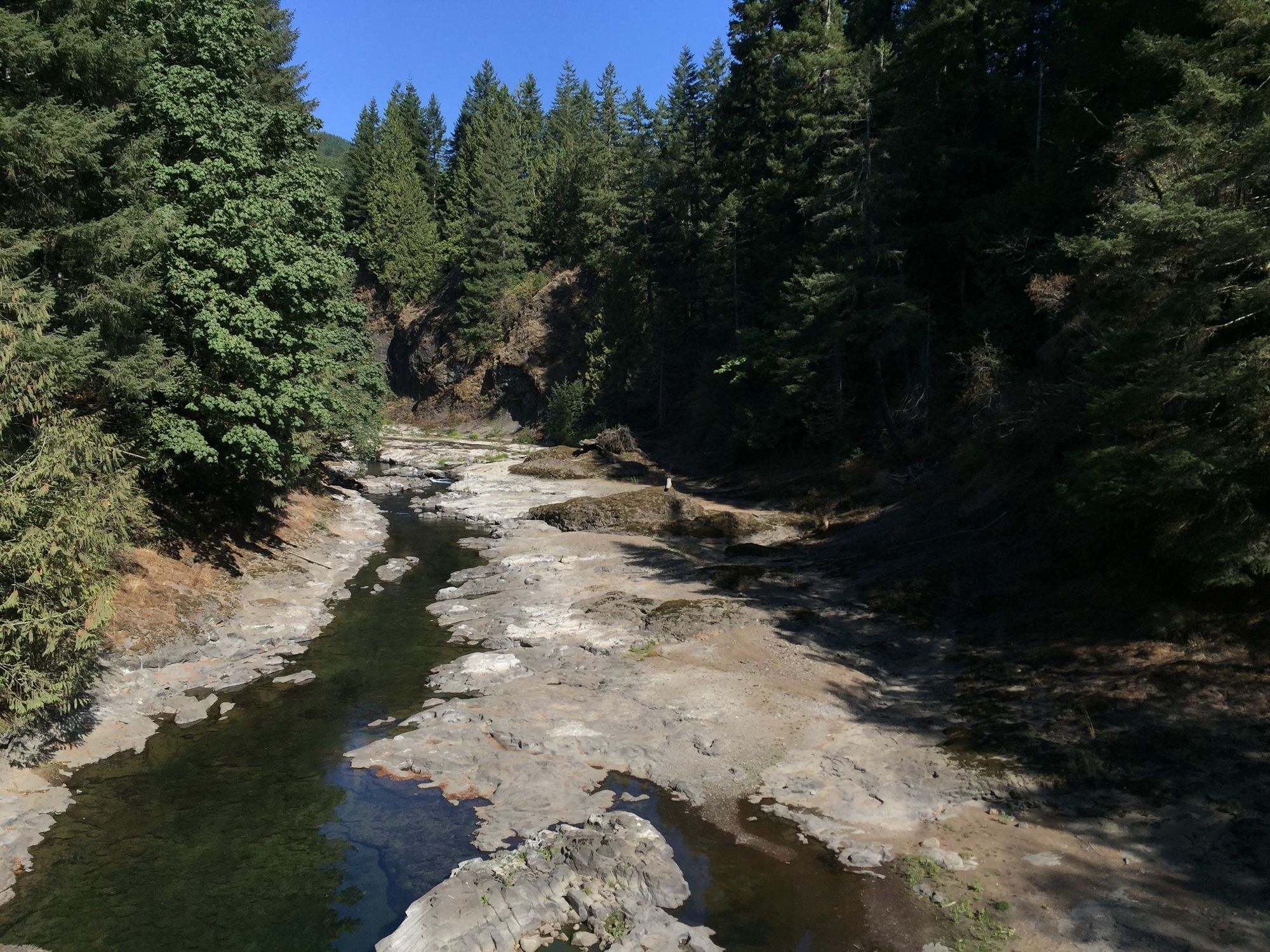
The East Fork presents several distinct paddling opportunities. The Narrows Run, a 5.7-mile Class III-IV section, winds through a scenic canyon with beautiful pools between rapids. Paddlers should be prepared for a significant drop requiring careful navigation or a portage via a fish ladder. The Falls Section and subsequent Gorge Run offer additional challenges for experienced kayakers.
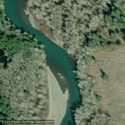
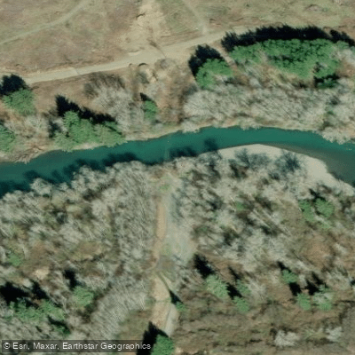
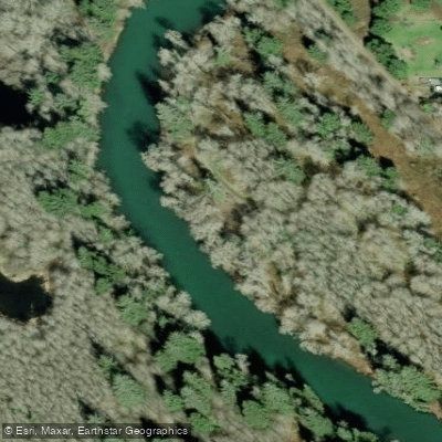
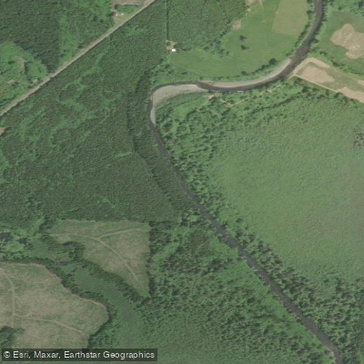
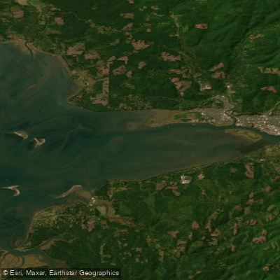
The lower Humptulips provides a gentler Class I-II paddling experience as it meanders towards Grays Harbor, suitable for beginners and those seeking a relaxed journey. This section allows exploration of side sloughs and offers opportunities for wildlife viewing, including eagles.
Water levels are typically best during spring snowmelt or after significant rainfall. Paddlers should be aware of potential hazards such as wood in the river and changing conditions based on water levels. The area's temperate rainforest climate supports diverse flora, including towering conifers lining the riverbanks.
Access points are primarily via Forest Service roads, with the town of Humptulips serving as the nearest community. The river holds cultural significance for local Native American tribes and has historically been important for salmon fishing, though recent conservation efforts have led to fishing restrictions.
For multi-day trips, paddlers can combine various sections of the East and West Forks, though camping options may be limited due to the predominantly forested terrain. Safety considerations include being prepared for remote conditions, potential rapid changes in water levels, and adhering to any local regulations or advisories.
Curated routes
Hand-picked by the PaddleWays team, with put-ins, take-outs, paddle times and the hazards along the way.
RouteClass I–II
Hazards
No hazards are marked on Humptulips River yet. That is not the same as none being there: if you find one, report it for the next paddler.
From the community
Nobody has shared a trip on Humptulips River yet. Paddle it, then tell the next paddler how it went.
See exactly where the public can get on and off the river. Launch points and boat ramps are paired with PaddleWays' public land data so you know where you can legally land.
Public shoreline
3%of the river's shoreline is public
Most of the riverbank is private. Launch, land and camp only at public access points.
Flows, weather and a route-by-route verdict, so you know which stretch of the Humptulips River is worth paddling today.
Live flows, marked hazards and fresh trip reports from paddlers who were just on the water, all in one place.





Every user gets free access to launch points, boat ramps, and public property parcels.
Loading popular cities...
PaddleWays gives you everything you need to plan smarter, paddle better, and own every trip from first launch to takeout.