Lake Tapps
Lake Tapps
- Boat Ramps
- 5
- Access Points
- 5
- Campsites
- 1
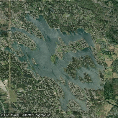
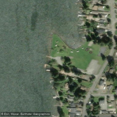
Lake Tapps is a 2,700-acre reservoir located in Pierce County, Washington, approximately 35 miles southeast of Seattle. The lake offers paddlers a mix of scenic beauty and recreational opportunities, with views of Mount Rainier to the south. North Lake Tapps Park, situated on the northern end, provides the primary public access point for paddlers, featuring a sandy beach area and boat launch.
The lake reaches recreational water levels typically by late May, with levels beginning to lower in mid to late September. Summer is the peak season for paddling, with the park open from 6:00 AM to 8:00 PM April through September. Water temperatures can be chilly even in summer months.
Paddlers should be aware of motorized boat traffic, as the lake is popular for various water activities. The maximum depth of the lake is 48 feet. Wildlife viewing opportunities may include eagle sightings.
Facilities at North Lake Tapps Park include restrooms, picnic areas, and walking trails. The park charges an entry fee, with separate fees for boat launching. Parking can be limited, especially on hot summer days and weekends, so arriving early is recommended.
Safety considerations include being prepared for potentially crowded conditions on warm days and adhering to basic water safety protocols. Paddlers should check current lake levels before planning their trip, as these are controlled by Cascade Water Alliance.
The lake's character offers a blend of natural scenery and developed shoreline, with some areas featuring residential properties. Its relatively calm waters make it suitable for paddlers of various skill levels, though wind conditions can vary.
Water access, boat ramps & amenities
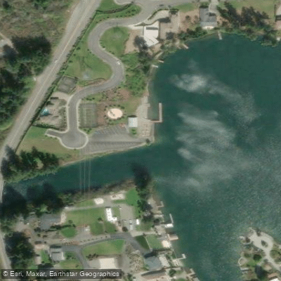
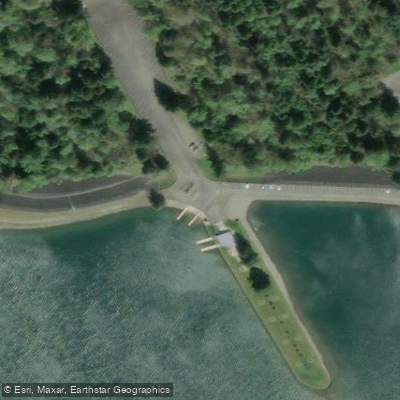
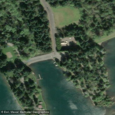
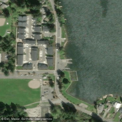
Learn how to get on Lake Tapps. Uncover great paddling access points, boat ramps, and all the facilities you need for an unforgettable day on the water. Some locations shown may border or include private property. Always check property boundaries and applicable regulations before visiting. PaddleWays's Public & Private Land layer can help you plan your access with confidence.
Paddle smarter with real-time insights
Whether you're en route and conditions shift or you're looking for the best spot based on current flows, we enable you to make informed decisions on the fly.








Find Places to Paddle

Over 400,000 Places to Paddle
Every user gets free access to launch points, boat ramps, and public property parcels.


Water and weather conditions (10 day forecast)
See the best times to paddle Lake Tapps and check the forecast before you go.
LAKE TAPPS NEAR SUMNER, WA
Paddling near Lake Tapps

Lake Washington
East Passage
Cedar River
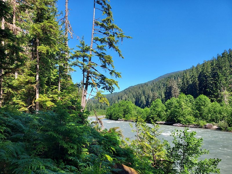
Snoqualmie River
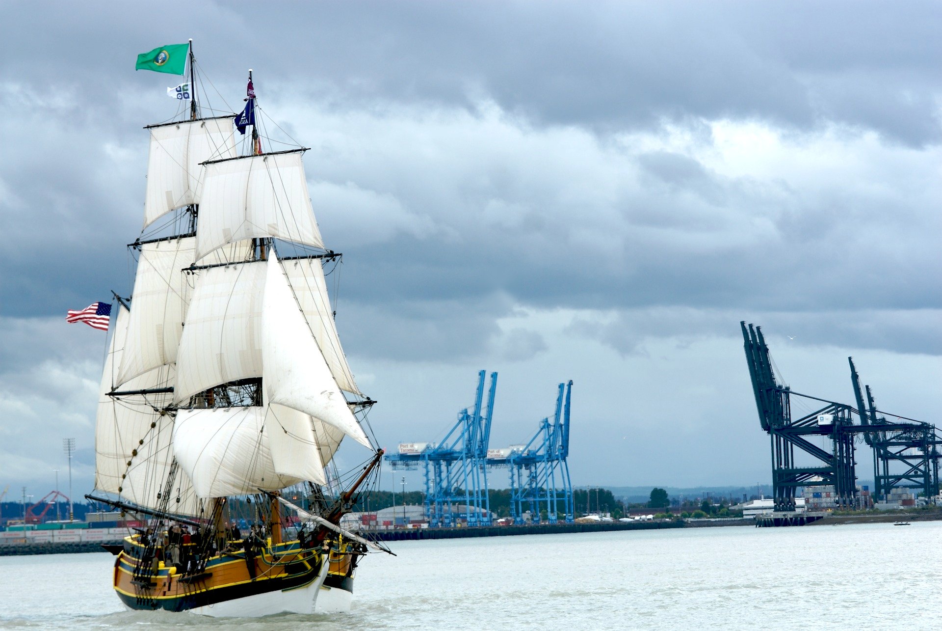
Commencement Bay
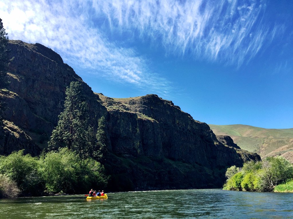
Yakima River
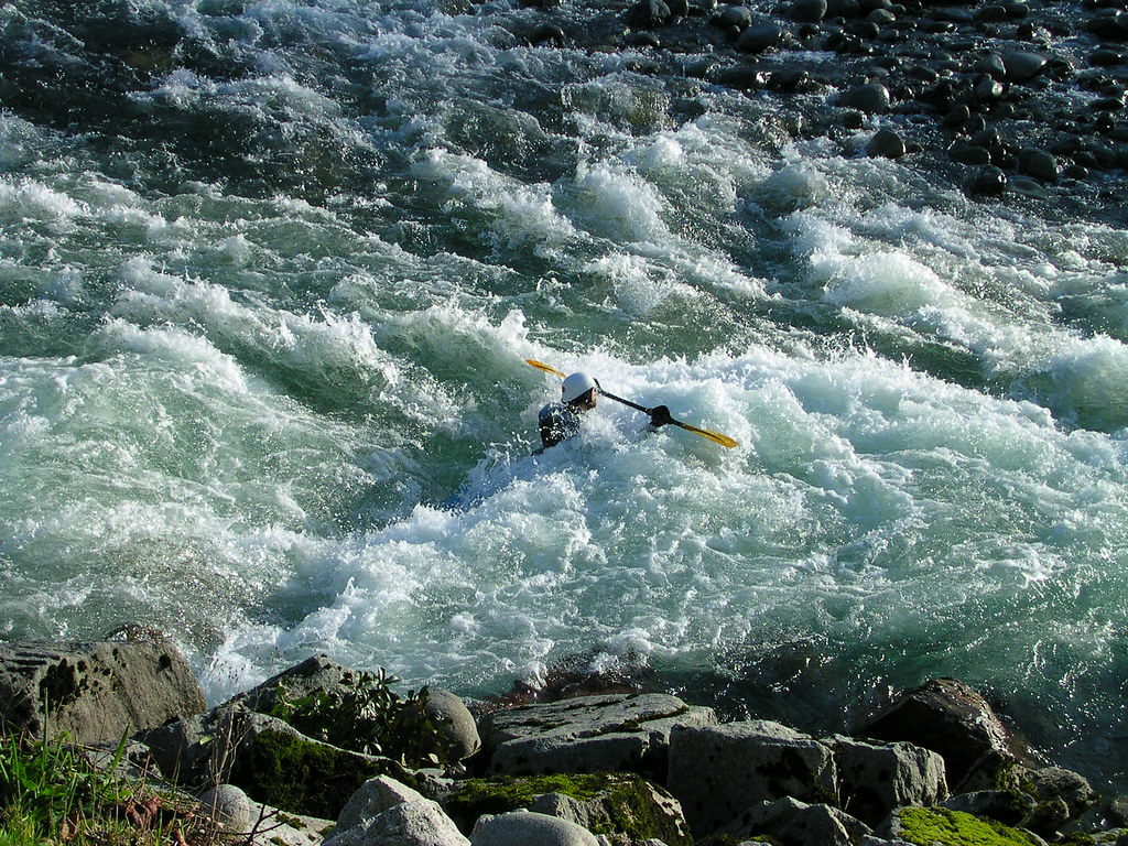
Skykomish River
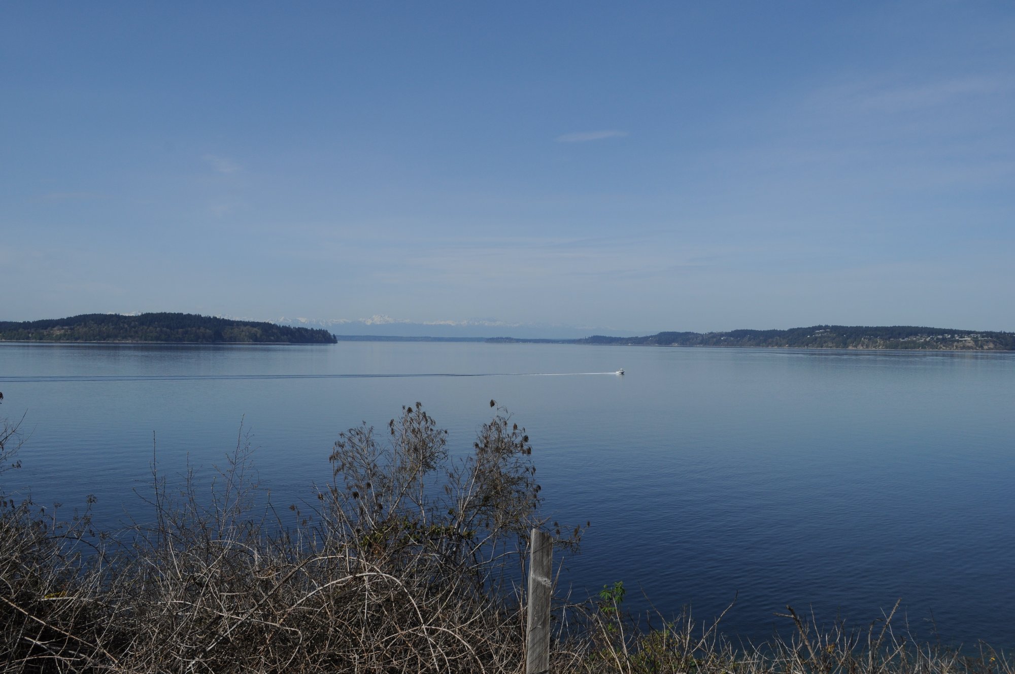
Carr Inlet
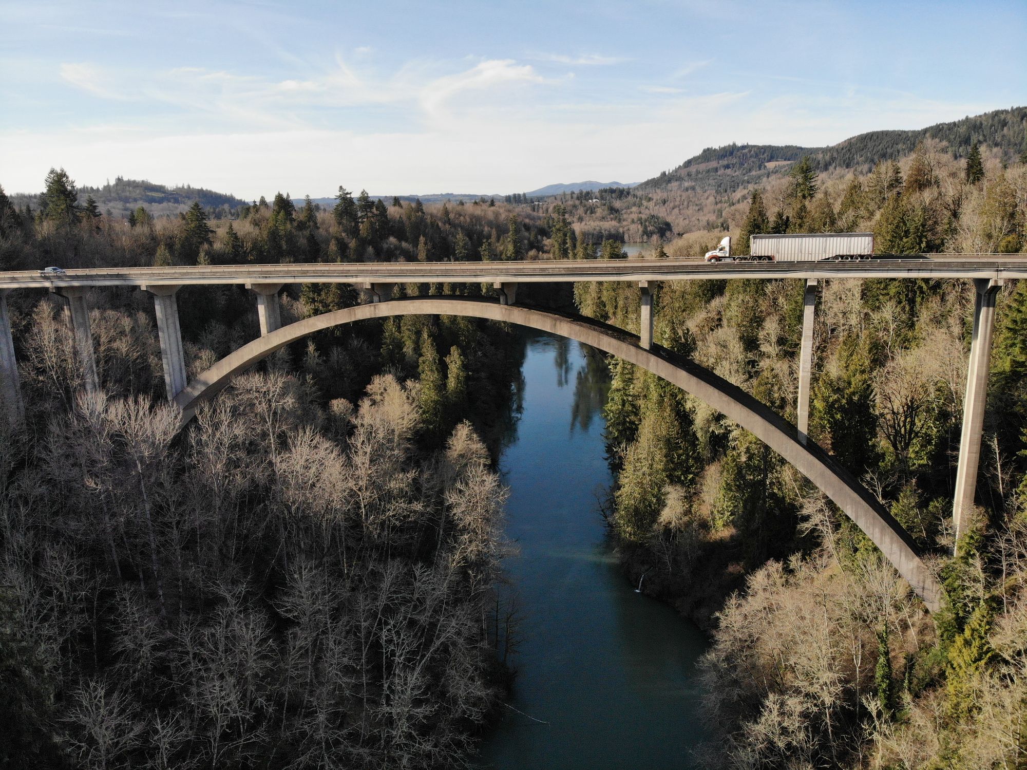
Cowlitz River
Explore Washington waters
Top paddling waters
Popular Cities
Loading popular cities...
Explore near Lake Tapps
Access points
- Church Lake Drive East Boat Ramp
- 176th Avenue East Boat Ramp
- Lake Tapps County Park Boat Ramp
- Puget Sound Energy Employee Park Boat Ramp
- Allan Yorke Park Boat Ramp
- White River Bridge
- Stuck River Bridge
- White River Bridge
- Green River Bridge
- Puyallup River Bridge
- Puyallup River Bridge
- Puyallup River Bridge
- All 24 spots
Nearby waters
More in Washington

Smarter Paddling Starts in the App.
Paddleways gives you everything you need to plan smarter, paddle better, and own every trip from first launch to takeout.