Carr Inlet
- Saltwater
- Inlet
Carr Inlet
- Saltwater
- Inlet
- Sq. miles
- 35
- Boat Ramps
- 3
- Access Points
- 0
- Campsites
- 3
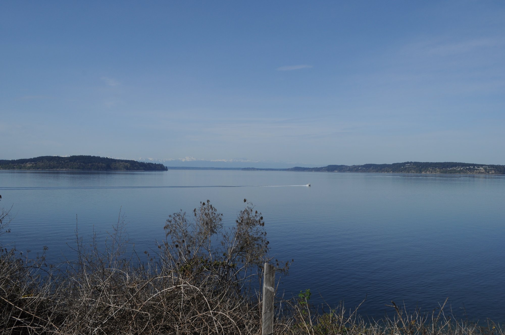
Carr Inlet is a north-south oriented saltwater inlet in southern Puget Sound, Washington, extending between the Key Peninsula and the Gig Harbor peninsula. It is characterized by a varied shoreline with numerous coves, inlets, and several islands, offering a condensed area for exploration. The inlet generally experiences less yacht traffic compared to other parts of Puget Sound, contributing to calmer seas. However, its north-south orientation can funnel winds from the south or southwest, creating rough conditions, particularly at the north end; wind and wave clinics are sometimes held in Henderson Bay. Tidal currents within the main inlet are often reported as negligible, but planning is required for trips that connect to adjacent channels like Hale Passage or the Tacoma Narrows, where currents can reach 3 knots. There is no significant surf zone at typical launch points.
Primary public launch points include Kopachuck State Park, Penrose Point State Park, the Towhead Island Boat Launch at the west end of the Fox Island bridge, and boat ramps at Home and Wauna. An informal road end at Rosedale provides another access, though it features a narrow, awkward path with steps to the beach and is best used at lower tides. The Horsehead Bay public boat ramp is another common launch site. A Discover Pass is required for parking at state parks. Key destinations for paddlers include Cutts Island State Park, locally known as Deadmans Island, which features sandy beaches and trails; Raft Island, which can be circumnavigated; the tidelands and creek at Burley Lagoon; and the Minter Creek Fish Hatchery, accessible near high tide. Penrose Point State Park offers a dedicated kayak-only campsite.
The area supports abundant wildlife, including harbor porpoises, seals, and numerous bird species such as mergansers, scoters, buffleheads, and grebes. Water quality alerts can occur, as noted with a past incident in Commencement Bay that caused a trip reroute to Carr Inlet. The paddling is suitable year-round, with trips rated from Sea Kayak II to IV depending on route and conditions. Recommended routes include an 11-nautical-mile round trip from Fox Island to Penrose Point, an 8-nautical-mile circumnavigation of Raft and Cutts Islands from Horsehead Bay, and longer one-way trips utilizing tidal currents from Wauna down through Hale Passage to Gig Harbor.
Water access, boat ramps & amenities
Learn how to get on Carr Inlet. Uncover great paddling access points, boat ramps, and all the facilities you need for an unforgettable day on the water. Some locations shown may border or include private property. Always check property boundaries and applicable regulations before visiting. PaddleWays's Public & Private Land layer can help you plan your access with confidence.
Paddle smarter with real-time insights
Whether you're en route and conditions shift or you're looking for the best spot based on current flows, we enable you to make informed decisions on the fly.








Find Places to Paddle

Over 400,000 Places to Paddle
Every user gets free access to launch points, boat ramps, and public property parcels.


Tides, wind & water conditions (10 day forecast)
On open water, wind and tide matter as much as the weather. See the best times to paddle Carr Inlet and check the marine forecast before you launch.
Loading tide predictions…
Paddling near Carr Inlet

Lake Washington
Cedar River
Chehalis River
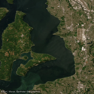
East Passage
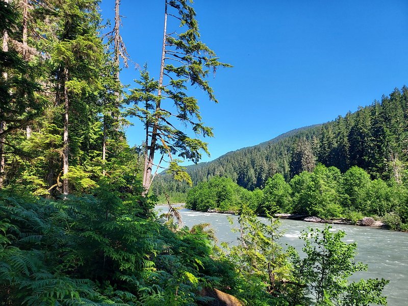
Snoqualmie River
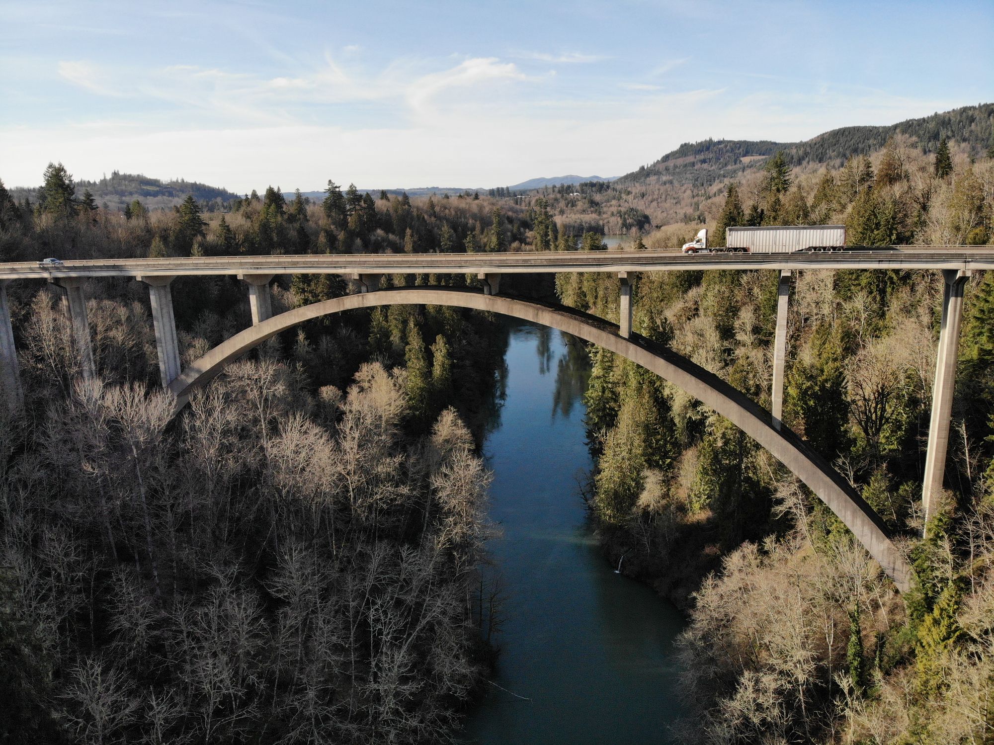
Cowlitz River
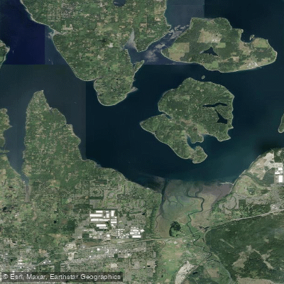
Nisqually Reach
Skykomish River
Explore Washington waters
Top paddling waters
Popular Cities
Loading popular cities...
Explore near Carr Inlet
Access points
Nearby waters
More in Washington

Smarter Paddling Starts in the App.
Paddleways gives you everything you need to plan smarter, paddle better, and own every trip from first launch to takeout.