Lake Wallula
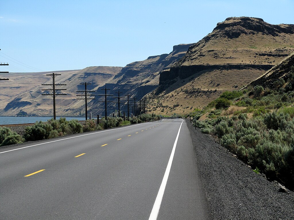
- Hazards marked
- 10
- Public shoreline
- 10%
- Boat Ramps
- 11
Lake Wallula is a 26,274-acre reservoir on the Columbia River, stretching from McNary Dam upstream to Priest Rapids Dam and Ice Harbor Dam on the Snake River. The lake offers good shoreline access with scattered fishing areas throughout. Numerous well-maintained boat launch facilities are available from McNary Dam upstream to Richland. Above Richland, primitive launch sites can be found at Ringold, Parking Lot 7 (Hanford National Monument), and Highway SR-240 (Vernita Bridge). A developed concrete launch is located at Wahluke (Hanford National Monument).
Paddlers should be aware that Lake Wallula is a popular fishing destination. Species that may be encountered include largemouth and smallmouth bass, walleye, yellow perch, black crappie, channel catfish, and northern pikeminnow. The lake's elevation is 343 feet above sea level.
For those interested in wildlife viewing, the nearby McNary National Wildlife Refuge offers opportunities to observe various bird species. The refuge allows boating access, though paddlers should check specific regulations before visiting.
Lake Wallula is part of the Northwest Discovery Water Trail, connecting paddlers to over 150 sites along the Clearwater, Snake, and Columbia Rivers. This trail system provides opportunities for multi-day trips and exploration of the region's natural and cultural heritage.
Paddlers should note that a Washington State Discover Pass is required for vehicle access to state-managed recreation lands in the area. As with any large body of water, paddlers should be prepared for changing weather conditions and boat traffic.
Hazards
Hazards on Lake Wallula
No paddler has reported a hazard here yet, so these are the dams, falls and big rapids on our map. Hazards change with flows and storms, so check them before you launch.
Ice Harbor Lock and Dam
From our mapDam
McNary Lock and Dam
From our mapDam
McNary Lock and Dam - Kennewick Levee 5D
From our mapDamPasco
McNary Lock and Dam - Kennewick Levee 6B
From our mapDamPasco
McNary Lock and Dam - Kennewick Levee 7
From our mapDam
Dam
McNary Lock and Dam - Pasco Levee 12-1
From our mapDamPasco
From the community
Lake Wallula trip reports
Nobody has shared a trip on Lake Wallula yet. Paddle it, then tell the next paddler how it went.
Water access & public shoreline
See exactly where the public can get on and off the water. Launch points and boat ramps are paired with PaddleWays' public land data so you know where you can legally land.
Public shoreline
10%of the lake's shoreline is public
- Public
- 10%
- Private
- 90%
Largest public stretches
- Bateman Island
- Hood Park
- Two Rivers Park
Most of the shoreline is private. Launch, land and camp only at public access points.
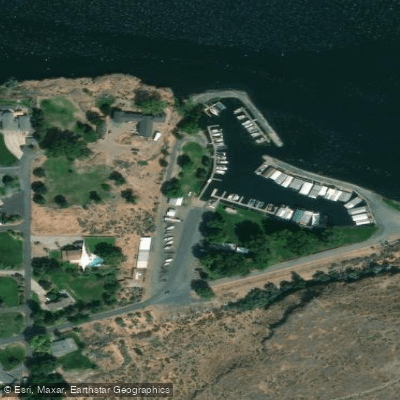
McNary Yacht Club Boat Ramp
Boat Ramp
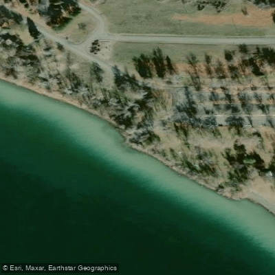
Sacajawea State Park Boat Ramp
Boat Ramp
Finley Road Boat Ramp
Boat Ramp
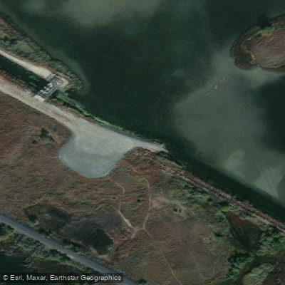
McNary National Wildlife Refuge Boat Ramp
Boat Ramp
Showing 4 of 12 boat ramps.
Paddling conditions (10 day forecast)
Weather and wind, so you know what to expect on Lake Wallula today.
No forecast data available.
Paddle smarter with real-time insights
Live flows, marked hazards and fresh trip reports from paddlers who were just on the water, all in one place.







Find Places to Paddle

Over 400,000 Places to Paddle
Every user gets free access to launch points, boat ramps, and public property parcels.



Paddling near Lake Wallula
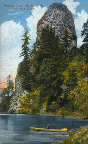
Columbia River
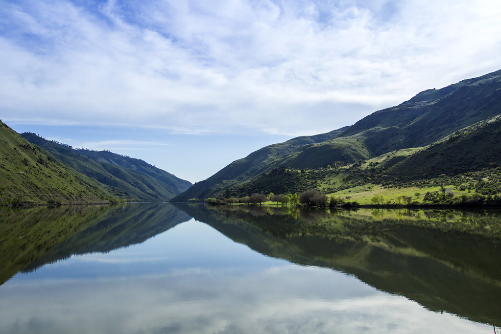
Snake River
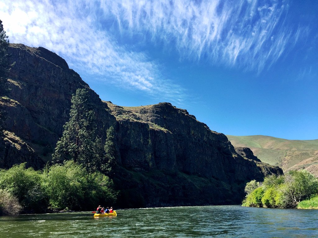
Yakima River
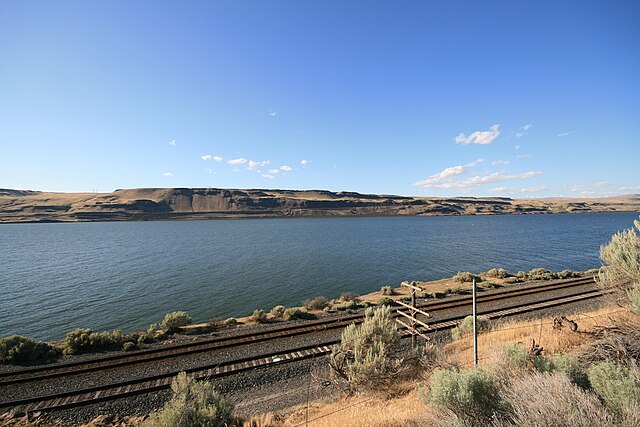
Lake Umatilla
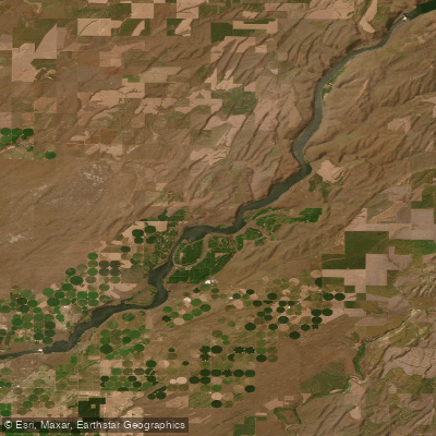
Lake Sacajawea
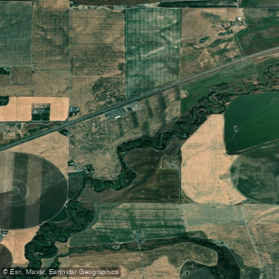
Walla Walla River
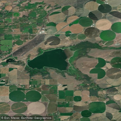
Cold Springs Reservoir
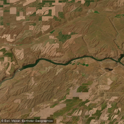
Lake Herbert G West
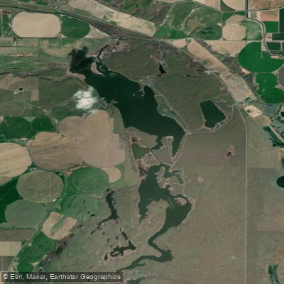
Scooteney Reservoir
Explore Washington waters
Explore near Lake Wallula
Access points
- McNary Yacht Club Boat Ramp
- Sacajawea State Park Boat Ramp
- McNary National Wildlife Refuge Boat Ramp
- Hat Rock State Park Boat Ramp
- Warehouse Boat Ramp
- Walla Walla Yacht Club Boat Ramp
- Warehouse Beach Boat Ramp
- McNary Dam Oregon Boat Ramp
- Bateman Island Boat Ramp
- Hood Park Boat Basin Boat Ramp
- McNary Dam Washington Boat Ramp
- Lake Wallula Access
- All 45 spots
Nearby waters
More in Washington
Smarter Paddling Starts in the App.
PaddleWays gives you everything you need to plan smarter, paddle better, and own every trip from first launch to takeout.