Cold Springs Reservoir
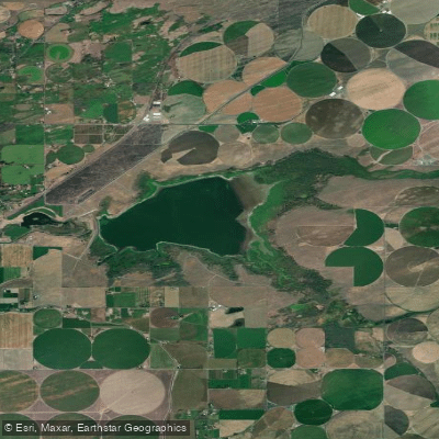
Cold Springs Reservoir
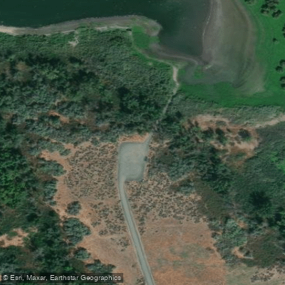
- Boat Ramps
- 1
- Access Points
- 1
- Campsites
- 0
Cold Springs Reservoir is a 1,600-acre Bureau of Reclamation impoundment located approximately 7 miles east of Hermiston in Umatilla County, Oregon. Completed in 1908 as part of the Umatilla Project, the reservoir features 12 miles of shoreline and serves as a national wildlife refuge heavily utilized by migrating waterfowl.
**Access and Facilities** The reservoir offers primitive boating access with a boat ramp accessible from State Road 207. According to current conditions, the reservoir fluctuates significantly with irrigation demands—recently reported at 7-15% capacity during late season drawdown. From March 1 through September 30, only non-motorized boats and electric motors are permitted; gasoline or internal combustion engines are prohibited. The reservoir is completely closed to boating from October 1 through February to protect wildlife.
**Paddling Character** Cold Springs provides a quiet paddling experience in an arid shrub-steppe landscape. The reservoir's shallow depth and exposure to wind can create choppy conditions, particularly during afternoon hours when prevailing winds pick up. Early morning paddling is strongly recommended. The open water environment offers expansive views of the surrounding Eastern Oregon high desert.
**Wildlife and Scenery** As a designated wildlife refuge, Cold Springs serves as critical habitat for migrating waterfowl including ducks, geese, and various shorebirds. Some 275 acres are designated as public hunting grounds. Paddlers should expect significant waterfowl activity, especially during migration periods. Wildlife observation opportunities extend to raptors and other species adapted to the refuge's wetland and upland habitats.
**Considerations** Water levels drop dramatically during irrigation season, potentially limiting access. Boaters should check current reservoir levels before visiting. The exposed, windswept nature of this desert reservoir demands appropriate sun protection and awareness of rapidly changing conditions.
Water access, boat ramps & amenities
Learn how to get on Cold Springs Reservoir. Uncover great paddling access points, boat ramps, and all the facilities you need for an unforgettable day on the water. Some locations shown may border or include private property. Always check property boundaries and applicable regulations before visiting. PaddleWays's Public & Private Land layer can help you plan your access with confidence.
Paddle smarter with real-time insights
Whether you're en route and conditions shift or you're looking for the best spot based on current flows, we enable you to make informed decisions on the fly.








Find Places to Paddle

Over 400,000 Places to Paddle
Every user gets free access to launch points, boat ramps, and public property parcels.


Water and weather conditions (10 day forecast)
See the best times to paddle Cold Springs Reservoir and check the forecast before you go.
COLD SPRINGS RESERVOIR EXCHANGE CN NR HERMISTON, OR
All Flow Stations
Paddling near Cold Springs Reservoir
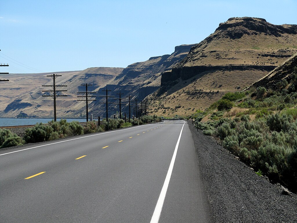
Lake Wallula

Columbia River
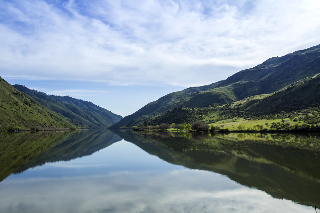
Snake River
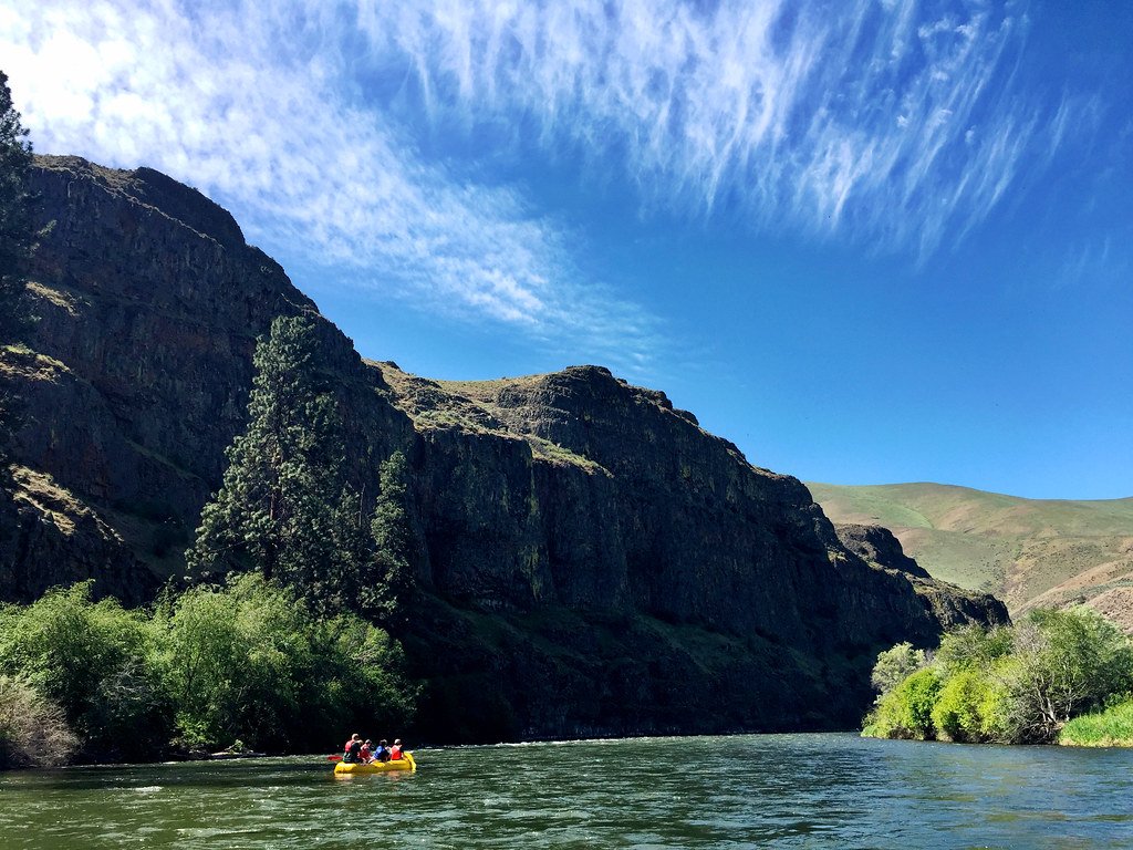
Yakima River
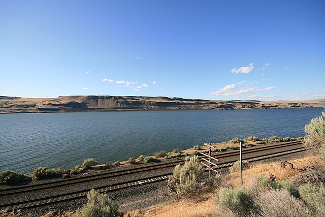
Lake Umatilla
Lake Sacajawea
Walla Walla River
Lake Herbert G West
Scooteney Reservoir
Explore Oregon waters
Top paddling waters
Popular Cities
Loading popular cities...
Explore near Cold Springs Reservoir
Access points
Nearby waters
More in Oregon

Smarter Paddling Starts in the App.
Paddleways gives you everything you need to plan smarter, paddle better, and own every trip from first launch to takeout.