Port Orchard
- Saltwater
- Bay
Port Orchard
- Saltwater
- Bay
- Sq. miles
- 14
- Boat Ramps
- 3
- Access Points
- 1
- Campsites
- 6
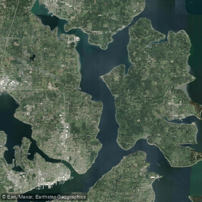
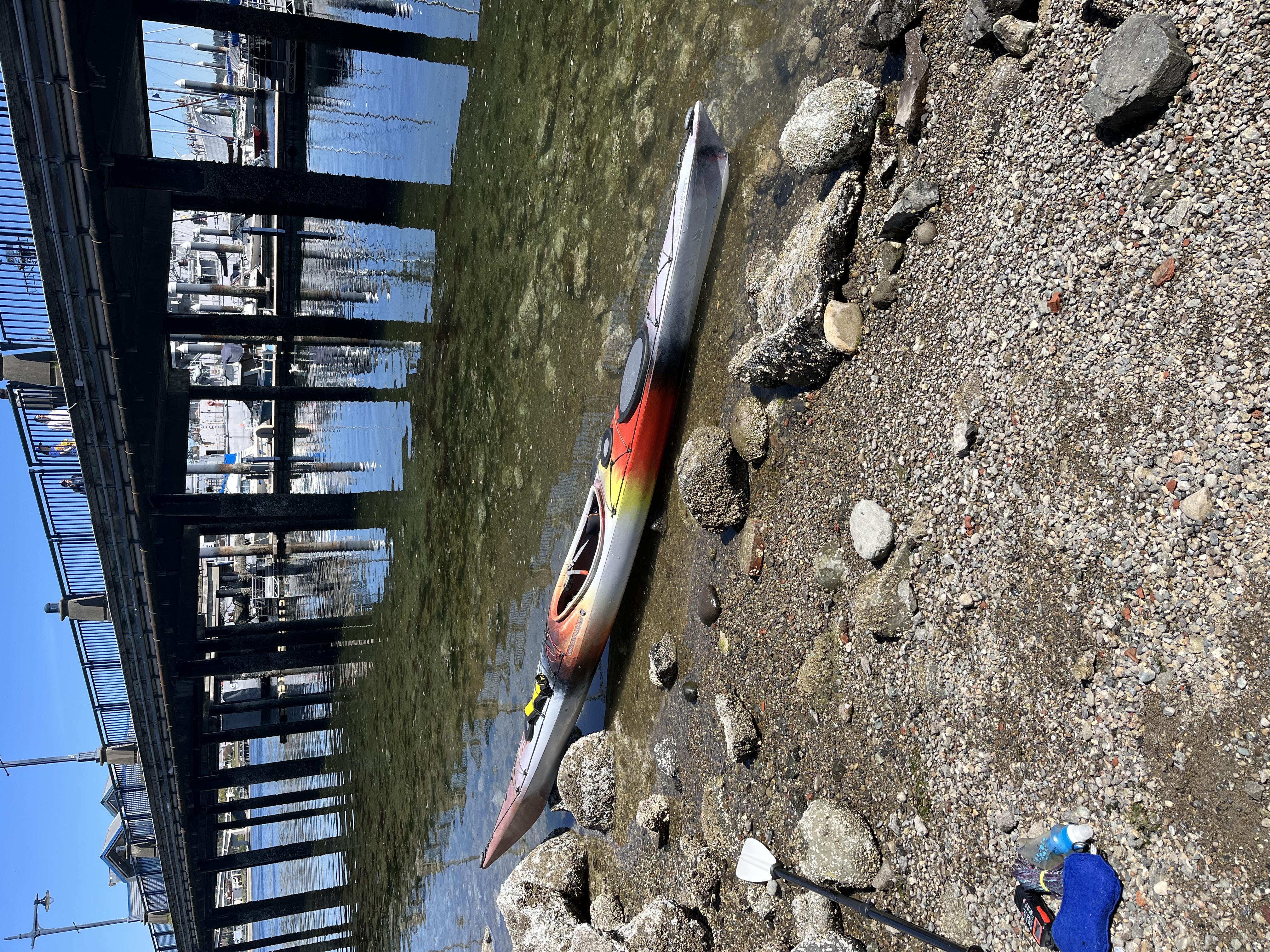
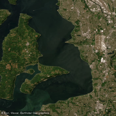
Port Orchard, located on the Kitsap Peninsula in Washington, USA, refers to the saltwater Sinclair Inlet and its adjacent shoreline, a significant part of the Kitsap Peninsula National Water Trail. The primary public access for paddlers is the Port Orchard Boat Launch at 535 Bay Street, which features a concrete boat ramp, a parking lot with spaces for trailers and vehicles, and designated wheelchair-accessible spaces. A second key launch point is the Tracyton Boat Ramp, located to the north at the entrance to the Port Washington Narrows. Paddling conditions are dominated by significant tidal currents, not river flow. The Port Washington Narrows, connecting Sinclair Inlet to Dyes Inlet, experiences swift currents, with the ebb (outgoing) tide reaching 4.0 knots and the flood (incoming) tide reaching 5.7 knots. Paddlers must time transits of this narrow channel carefully, ideally for slack tide, and possess intermediate to advanced skills to navigate the strong flow and pass safely under two bridges. Sinclair Inlet itself is generally calmer and more sheltered, suitable for beginner paddlers, though boat traffic from the adjacent Bremerton Naval Shipyard and ferry terminals is a constant hazard requiring vigilance. A popular and challenging route is the approximately 12-nautical-mile trip from Tracyton, through the Narrows with the current, across Sinclair Inlet to the Port Orchard waterfront and Annapolis Beach Park, and back. The annual "Ride the Tide" event follows this route, highlighting the 371-mile water trail. Notable sights include the marine life visible under the Bremerton ferry docks at a low tide and views of the naval shipyard. The recommended paddling season runs from March through November. Immersion gear, such as a wetsuit or drysuit, is considered essential safety equipment due to the cold water temperatures.
Water access, boat ramps & amenities
Learn how to get on Port Orchard. Uncover great paddling access points, boat ramps, and all the facilities you need for an unforgettable day on the water. Some locations shown may border or include private property. Always check property boundaries and applicable regulations before visiting. PaddleWays's Public & Private Land layer can help you plan your access with confidence.
Paddle smarter with real-time insights
Whether you're en route and conditions shift or you're looking for the best spot based on current flows, we enable you to make informed decisions on the fly.








Find Places to Paddle

Over 400,000 Places to Paddle
Every user gets free access to launch points, boat ramps, and public property parcels.


Tides, wind & water conditions (10 day forecast)
On open water, wind and tide matter as much as the weather. See the best times to paddle Port Orchard and check the marine forecast before you launch.
Loading tide predictions…
Paddling near Port Orchard



Explore Washington waters
Top paddling waters
Popular Cities
Loading popular cities...
Explore near Port Orchard
Access points
Nearby waters
More in Washington

Smarter Paddling Starts in the App.
Paddleways gives you everything you need to plan smarter, paddle better, and own every trip from first launch to takeout.