Hood Canal
- Saltwater
- Estuary
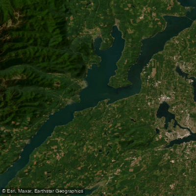
Hood Canal
- Saltwater
- Estuary
- Sq. miles
- 150
- Boat Ramps
- 10
- Access Points
- 6
- Campsites
- 18
Hood Canal is a long, natural saltwater fjord on the eastern side of the Olympic Peninsula in Washington, USA, offering paddlers miles of pristine shoreline with dramatic views of the Olympic Mountains. The water body is tidal, with a significant tidal range; at low tide, approximately half of the water can recede from areas like Quilcene Bay, leaving extensive mud flats. Paddlers must carefully plan trips around tide tables, as currents in passages like Hammersley Inlet are strong and difficult to paddle against, and access to certain estuaries and sloughs, such as the Dosewallips or Tahuya River, requires a mid to high tide for entry due to shallow, oyster-strewn bottoms. The canal is known for wind and waves due to its long fetch, with afternoon winds common and capable of blowing in either direction along its length, making wind direction a critical planning factor. The canal experiences boat traffic, including marinas and private docks, and paddlers should be prepared for potential channel crossings, such as the popular Hood Canal Triple Cross or the crossing from Dewatto to Holly near Chinom Point.
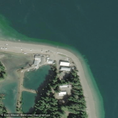
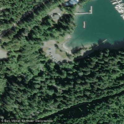
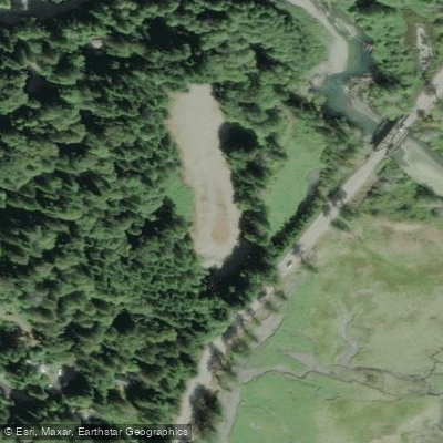
Numerous public launch points provide access, including Dosewallips State Park, Pleasant Harbor Marina, Triton Cove State Park, Seal Rock Campground, Misery Point Boat Launch, and Quilcene Marina. The Kitsap Peninsula Water Trail, part of the Cascadia Marine Trail system, offers over 350 miles of designated saltwater shoreline with camping and day-use sites. Multi-day trips are feasible, with routes like a 40-mile mid-section loop from Pleasant Harbor utilizing Cascadia Marine Trail sites. Wildlife sightings can include seals, eagles, spawning salmon, and Roosevelt elk, particularly in estuaries. Summer water temperatures are typically in the mid-70s Fahrenheit. The surrounding area features a mix of undeveloped, roadless shoreline and pockets of beach homes, with historical points of interest like the Wilcox House. Paddlers should be aware of private marina areas and always verify public access points.
Water access, boat ramps & amenities
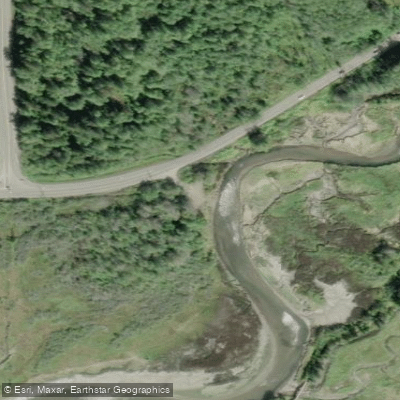
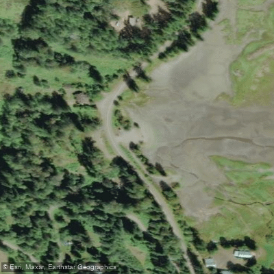
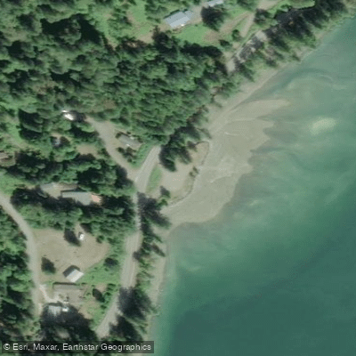
Learn how to get on Hood Canal. Uncover great paddling access points, boat ramps, and all the facilities you need for an unforgettable day on the water. Some locations shown may border or include private property. Always check property boundaries and applicable regulations before visiting. PaddleWays's Public & Private Land layer can help you plan your access with confidence.
Paddle smarter with real-time insights
Whether you're en route and conditions shift or you're looking for the best spot based on current flows, we enable you to make informed decisions on the fly.








Find Places to Paddle

Over 400,000 Places to Paddle
Every user gets free access to launch points, boat ramps, and public property parcels.


Tides, wind & water conditions (10 day forecast)
On open water, wind and tide matter as much as the weather. See the best times to paddle Hood Canal and check the marine forecast before you launch.
Loading tide predictions…
Paddling near Hood Canal

Lake Washington
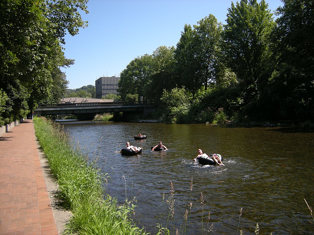
Cedar River
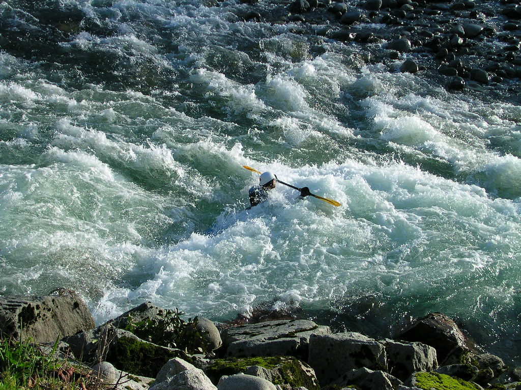
Skykomish River
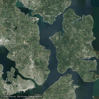
Port Orchard
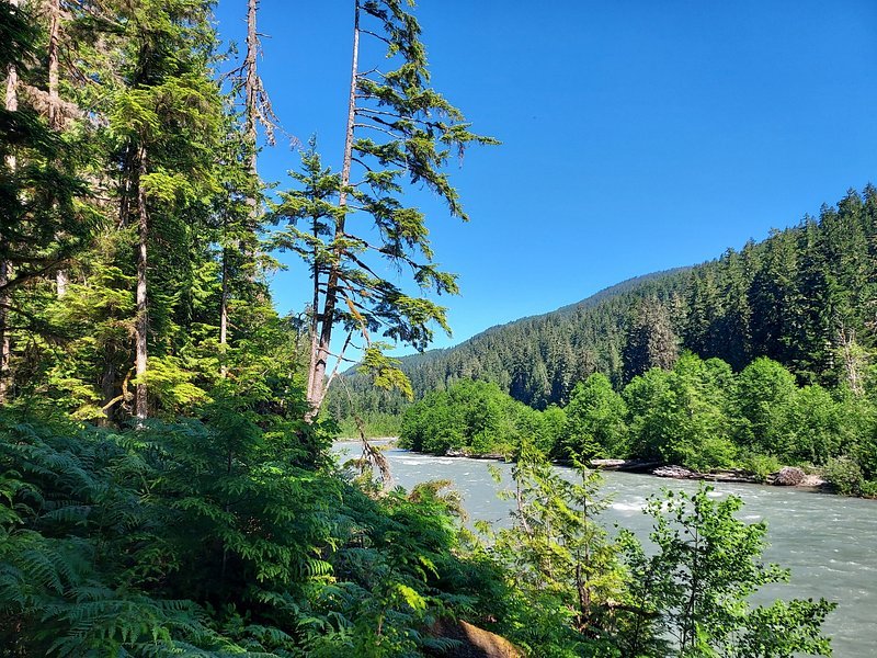
Snoqualmie River
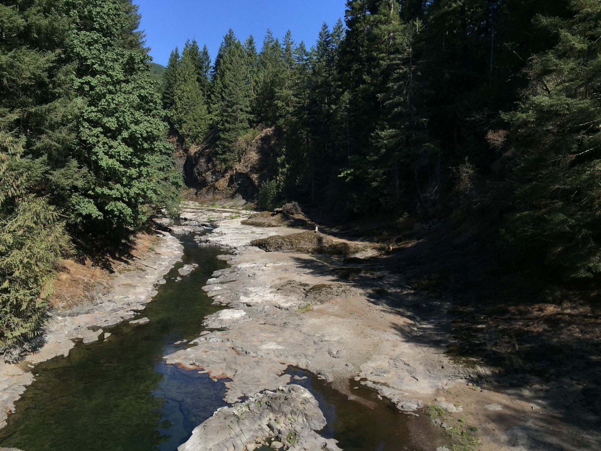
Chehalis River
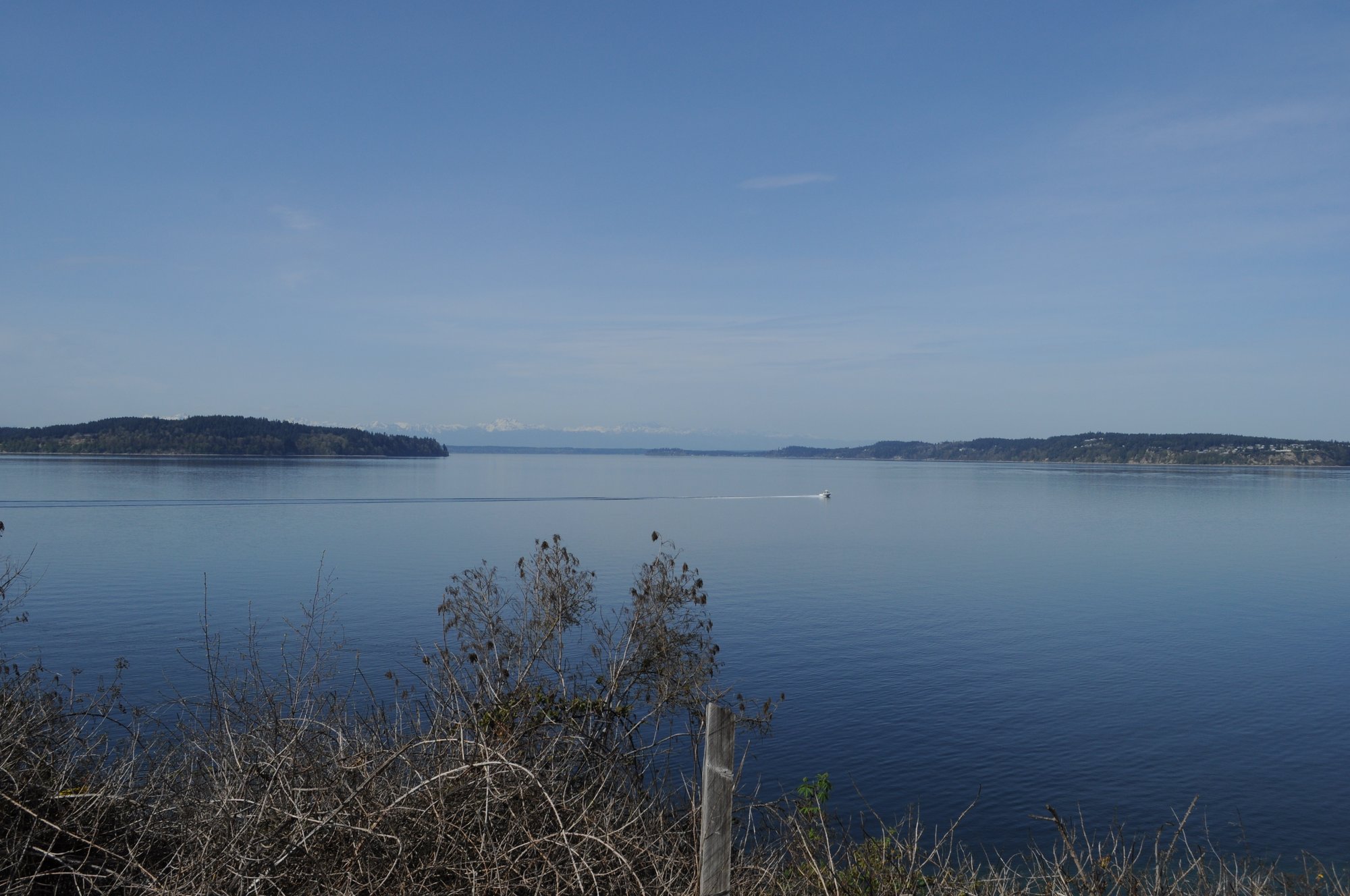
Carr Inlet
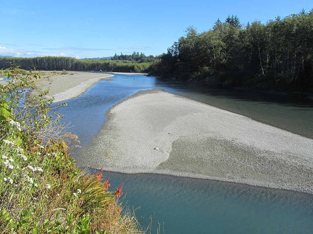
Hoh River
Explore Washington waters
Top paddling waters
Popular Cities
Loading popular cities...
Explore near Hood Canal
Access points
Nearby waters
More in Washington

Smarter Paddling Starts in the App.
Paddleways gives you everything you need to plan smarter, paddle better, and own every trip from first launch to takeout.