Quinault River
Quinault River
- Boat Ramps
- 2
- Access Points
- 3
- Campsites
- 31
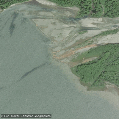
The Quinault River originates high in the Olympic Mountains of Washington state, flowing westward for 69 miles through Olympic National Park and the Olympic National Forest before emptying into the Pacific Ocean. Its two main tributaries are the North Fork and East Fork Quinault Rivers, which join to form the main stem. The river drains a watershed of dense temperate rainforest on the western slopes of the Olympics.
Paddling opportunities range from challenging whitewater in the upper reaches to flatwater sections near Lake Quinault. The East Fork offers an intense 3-mile Class IV-V run from Pony Bridge to Graves Creek, featuring continuous rapids through a scenic rainforest gorge. This section is best suited for expert paddlers comfortable with remote, technical whitewater. Downstream, the river mellows as it approaches Lake Quinault, providing opportunities for less experienced paddlers.
The North Fork Quinault contains the river's most formidable whitewater, with a Class V gorge run beginning near Geoduck Creek. This 3-4 mile section demands advanced skills to navigate its intense rapids and tight canyons. Below the gorge, the difficulty eases somewhat but remains challenging.
The lower Quinault offers a unique paddling experience from the Quinault Indian Reservation town of Taholah to the Pacific Ocean. This 2-3 mile stretch transitions from flatwater to ocean conditions, requiring sea kayaking skills.
Spring snowmelt and fall rains provide the best flows for whitewater paddling, typically from March to June and October to November. Summer offers more stable conditions for flatwater sections.
The river corridor hosts diverse wildlife including Roosevelt elk, black bears, and bald eagles amidst towering old-growth Sitka spruce, Western red cedar, and Douglas fir. Key access points include Pony Bridge and Graves Creek in Olympic National Park, with the nearest town being Quinault. The lower river can be accessed near Taholah on the Quinault Indian Reservation.
The Quinault River holds great cultural significance for the Quinault people, who have lived along its banks for thousands of years.
Paddlers should be aware of rapidly changing weather conditions, cold water, and remote stretches with limited access. Some sections within Olympic National Park may have specific regulations or require permits. For those seeking multi-day adventures, the East Fork Quinault Trail parallels the river, offering opportunities to combine paddling with backcountry camping in the Enchanted Valley.
Water access, boat ramps & amenities
Learn how to get on Quinault River. Uncover great paddling access points, boat ramps, and all the facilities you need for an unforgettable day on the water. Some locations shown may border or include private property. Always check property boundaries and applicable regulations before visiting. PaddleWays's Public & Private Land layer can help you plan your access with confidence.
Paddle smarter with real-time insights
Whether you're en route and conditions shift or you're looking for the best spot based on current flows, we enable you to make informed decisions on the fly.








Find Places to Paddle

Over 400,000 Places to Paddle
Every user gets free access to launch points, boat ramps, and public property parcels.


Water and weather conditions (10 day forecast)
See the best times to paddle Quinault River and check the forecast before you go.
QUINAULT RIVER AT QUINAULT LAKE, WA
All Flow Stations
Paddling near Quinault River
Chehalis River
North Bay

Columbia River
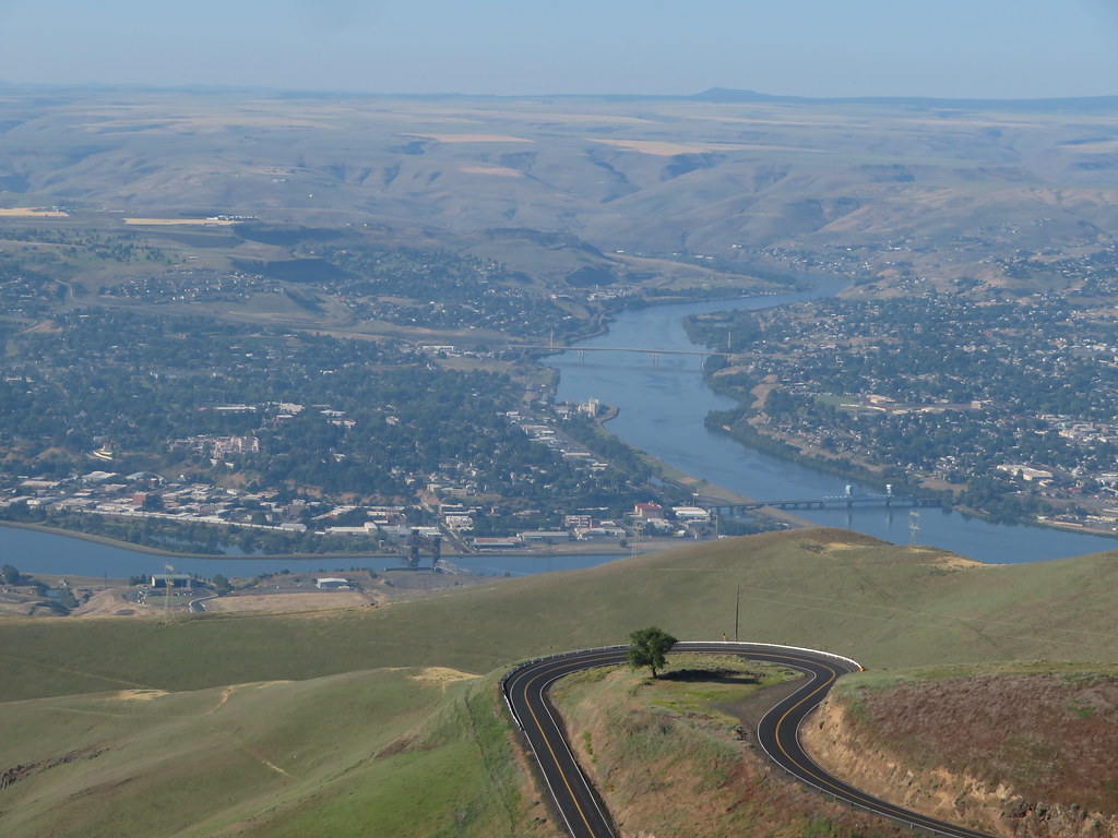
Clearwater River
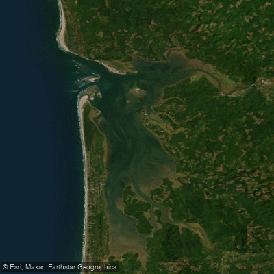
Willapa Bay
Wishkah River
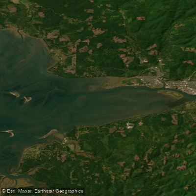
North Channel
Wynoochee River
Explore Washington waters
Top paddling waters
Popular Cities
Loading popular cities...
Explore near Quinault River
Access points
Nearby waters
More in Washington

Smarter Paddling Starts in the App.
Paddleways gives you everything you need to plan smarter, paddle better, and own every trip from first launch to takeout.