Curated by PaddleWays
RouteClass II–III
- Distance
- 8.7 mi
- Paddle time
- ~2 hrs
- Best for
- Intermediate paddlers
- Put-in → take-out
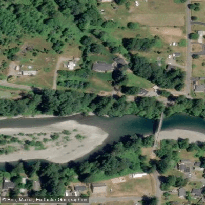
- Canyon Creek 2 Access → Jordan Access
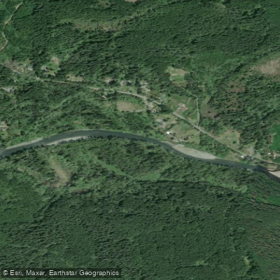
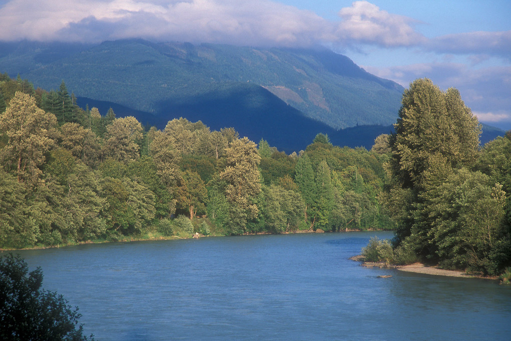
The South Fork Stillaguamish River, affectionately known as the Silly Stilly, is a vibrant waterway in northwestern Washington state. Originating in the Cascade Mountains near Barlow Pass, it flows westward for approximately 45 miles before joining the North Fork to form the main stem Stillaguamish River near Arlington. The river drains a watershed of old-growth forests and steep mountain terrain.
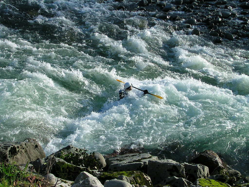
For paddlers, the South Fork offers a range of experiences from beginner-friendly floats to expert-level whitewater. The upper reaches provide continuous Class II+ rapids suitable for intermediate paddlers. The most popular section is the 8.2-mile Silly Stilly run from Boardman Creek to Verlot, featuring Class III rapids like Wiley Creek and Ski Jump. For advanced kayakers, the challenging 12.3-mile Robe Canyon run from Verlot to Granite Falls offers intense Class V whitewater through a beautiful gorge. The river's difficulty varies significantly, from Class II float sections to Class V expert runs. Paddlers should carefully match their skills to the appropriate sections.
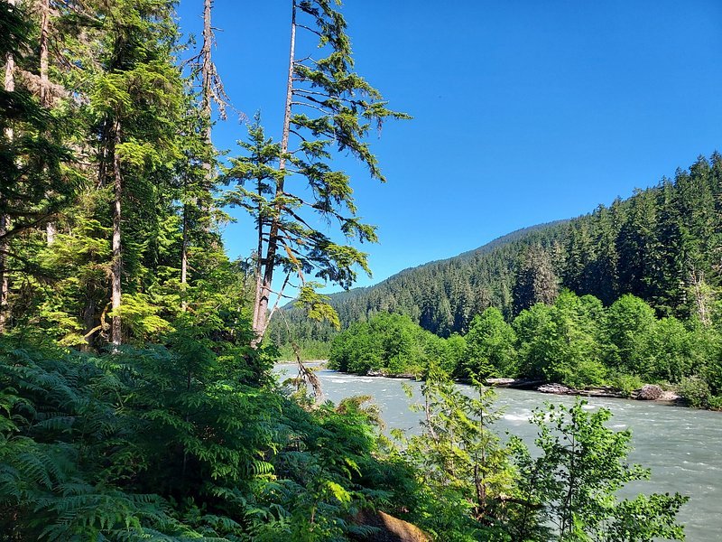
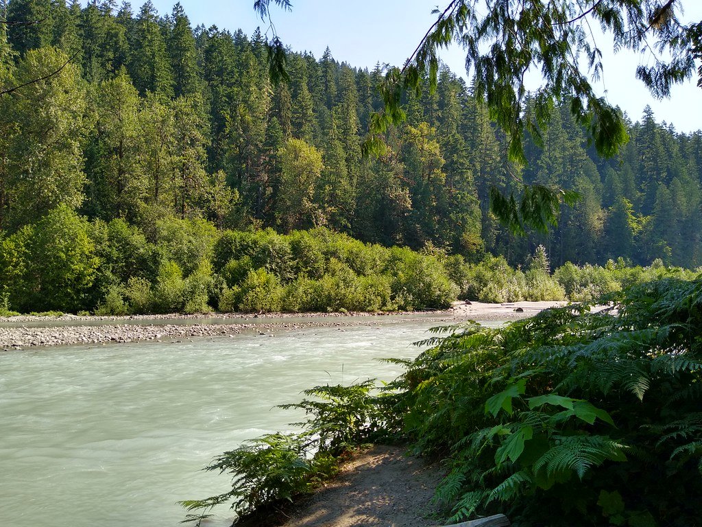
The South Fork is typically runnable from late fall through early summer, with spring snowmelt providing the most reliable flows. However, the river can become dangerously high during heavy rain events. The corridor supports diverse wildlife, including salmon, bald eagles, black bears, and deer. Old-growth forests of Douglas fir, western red cedar, and western hemlock line much of the riverbank.
Key landmarks include the historic mining town of Silverton and the scenic Robe Canyon. Primary access points are found along the Mountain Loop Highway, with put-ins at Boardman Creek, Verlot, and Granite Falls. The nearby towns of Darrington and Arlington provide services for paddlers.
The South Fork holds cultural significance for local Native American tribes and played a role in the region's logging and mining history. Today, it's valued for recreation and as critical salmon habitat.
Safety considerations include wood hazards, cold water, and remote gorges with limited access. Paddlers should check current conditions and be prepared for self-rescue. Some sections may require permits or have seasonal restrictions to protect spawning salmon. For multi-day trips, paddlers can combine the South Fork with runs on the North Fork or main Stillaguamish, though camping options along the river are limited.
The South Fork Stillaguamish offers a quintessential Pacific Northwest paddling experience, from serene floats through old-growth forests to adrenaline-pumping rapids in steep canyons.
Curated routes
Hand-picked by the PaddleWays team, with put-ins, take-outs, paddle times and the hazards along the way.
RouteClass II–III
RouteClass V
Hazards
No paddler has reported a hazard here yet, so these are the dams, falls and big rapids on our map. Hazards change with flows and storms, so check them before you launch.
From the community
Nobody has shared a trip on South Fork Stillaguamish River yet. Paddle it, then tell the next paddler how it went.
See exactly where the public can get on and off the river. Launch points and boat ramps are paired with PaddleWays' public land data so you know where you can legally land.
Public shoreline
55%of the river's shoreline is public
Flows, weather and a route-by-route verdict, so you know which stretch of the South Fork Stillaguamish River is worth paddling today.
All Flow Stations
Live flows, marked hazards and fresh trip reports from paddlers who were just on the water, all in one place.





Every user gets free access to launch points, boat ramps, and public property parcels.
Loading popular cities...
PaddleWays gives you everything you need to plan smarter, paddle better, and own every trip from first launch to takeout.