Bull Run River
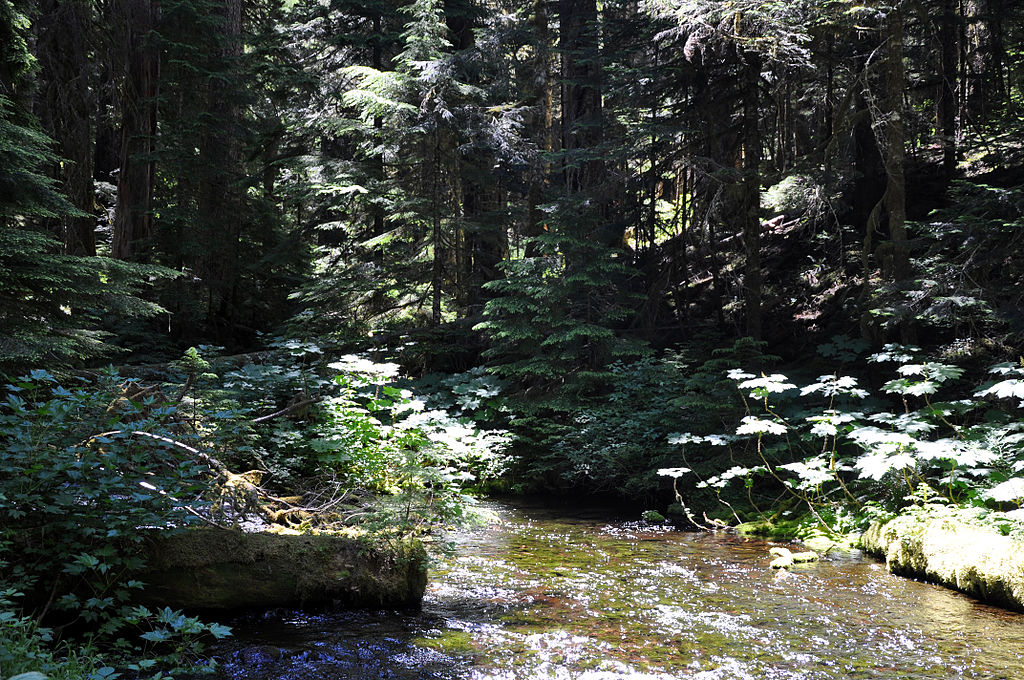
Bull Run River
- Boat Ramps
- 1
- Access Points
- 2
- Campsites
- 3
The Bull Run River is a scenic waterway in northwestern Oregon, originating in the Bull Run Watershed of the Mount Hood National Forest. It flows generally westward for approximately 21 miles before joining the Sandy River near the town of Bull Run. The river and its tributaries drain a watershed of about 140 square miles.
For paddlers, the Bull Run offers several notable whitewater sections. The most popular run is the 1.75-mile stretch from Bull Run Power House to the confluence with the Sandy River at Dodge Park. This Class III section features one significant rapid, Bull Run Rapid, about 0.8 miles from the put-in. Above this, the Upper Bull Run section provides a beautiful, intimate canyon run with technical Class III rapids at normal flows. The overall difficulty ranges from Class II to III, making it suitable for intermediate paddlers with solid whitewater skills. However, the river can become more challenging at high water levels, requiring advanced skills and experience.
The Bull Run is typically paddled in spring and early summer when snowmelt and rainfall provide adequate flows. Fall rains can also create good paddling conditions. Paddlers should check flow levels at the Bull Run gauge, with 1200-3000 CFS considered a good range for the lower section.
The river corridor supports diverse flora and fauna typical of the western Cascades, including Douglas fir, western red cedar, and various wildlife species. The watershed's protected status helps maintain its pristine condition. Key landmarks include the Bull Run Power House at the put-in and the scenic canyon sections. The take-out at Dodge Park marks the confluence with the Sandy River, offering paddlers the option to continue downstream on the Sandy for a longer trip.
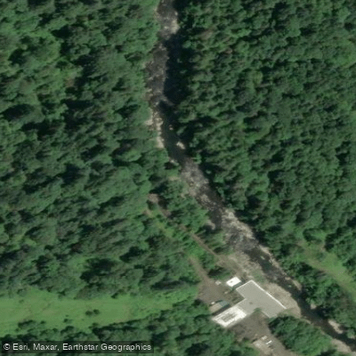
Access is relatively straightforward, with the main put-in near the Bull Run Power House and the take-out at Dodge Park. The nearby city of Gresham, about 12 miles west, serves as a convenient base for paddlers.
Historically, the Bull Run River has been crucial to Portland's water supply since the late 19th century. The watershed remains highly protected to maintain water quality, with limited public access in many areas.
Safety considerations include potential wood hazards and cold water temperatures. Paddlers should be aware of flow-dependent challenges and always wear appropriate safety gear. Some sections may have access restrictions due to the watershed's protected status, so checking current regulations is essential. While primarily used for day trips, paddlers can combine the Bull Run with sections of the Sandy River for longer adventures, potentially extending to Oxbow Park for a multi-day experience.
Water access, boat ramps & amenities
Learn how to get on Bull Run River. Uncover great paddling access points, boat ramps, and all the facilities you need for an unforgettable day on the water. Some locations shown may border or include private property. Always check property boundaries and applicable regulations before visiting. PaddleWays's Public & Private Land layer can help you plan your access with confidence.
Paddle smarter with real-time insights
Whether you're en route and conditions shift or you're looking for the best spot based on current flows, we enable you to make informed decisions on the fly.








Find Places to Paddle

Over 400,000 Places to Paddle
Every user gets free access to launch points, boat ramps, and public property parcels.


Water and weather conditions (10 day forecast)
See the best times to paddle Bull Run River and check the forecast before you go.
BULL RUN RIVER AT LOWER FLUME NR BRIGHTWOOD, OR
All Flow Stations
Paddling near Bull Run River

Columbia River
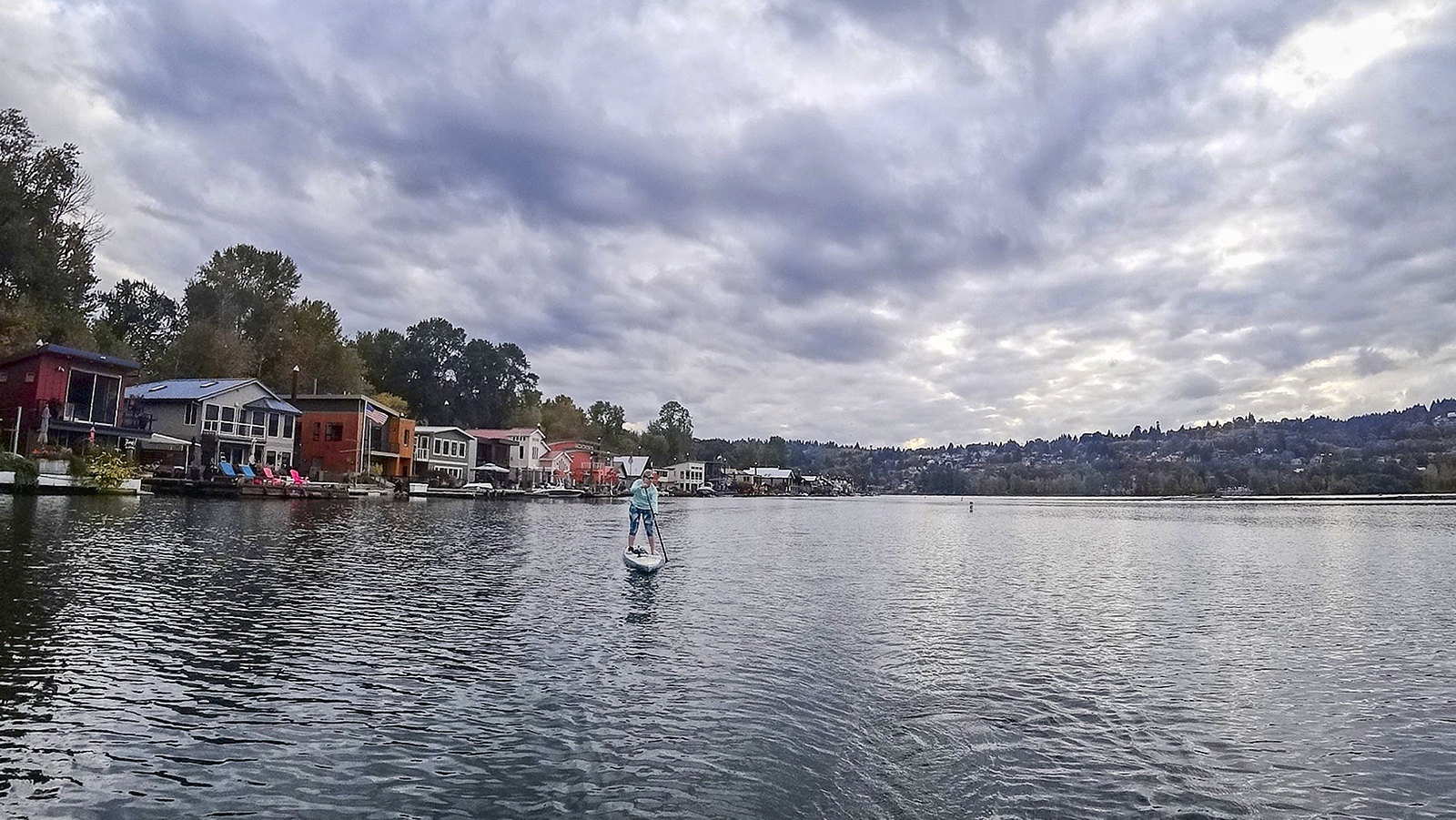
Willamette River
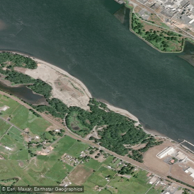
Dibblees Beach
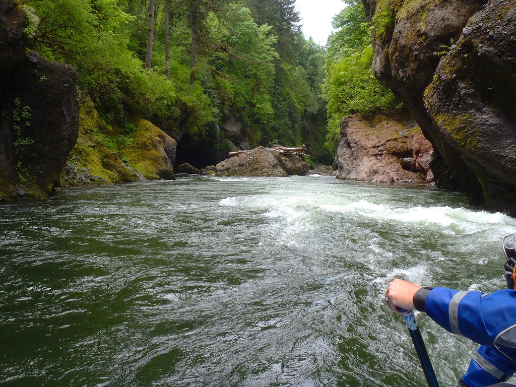
Sandy River
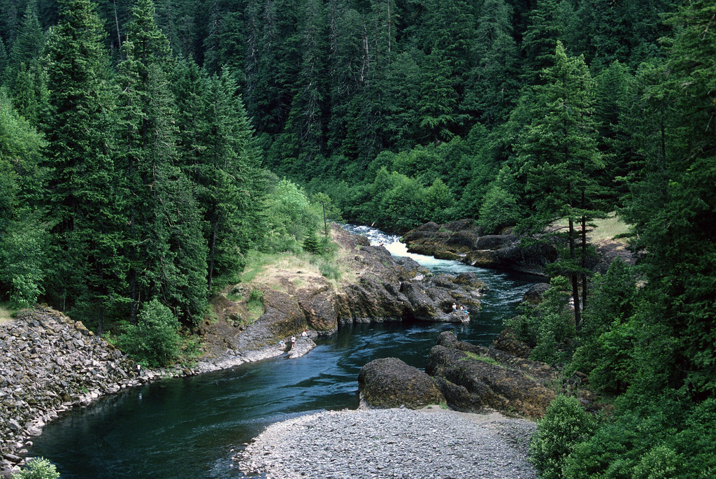
Clackamas River
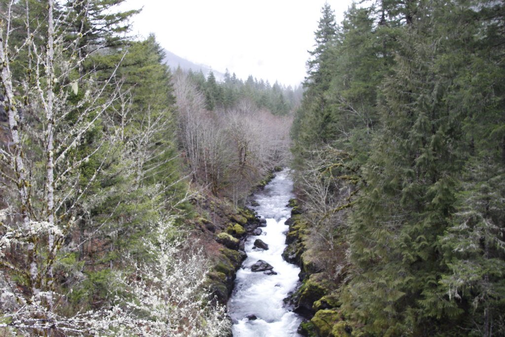
Molalla River
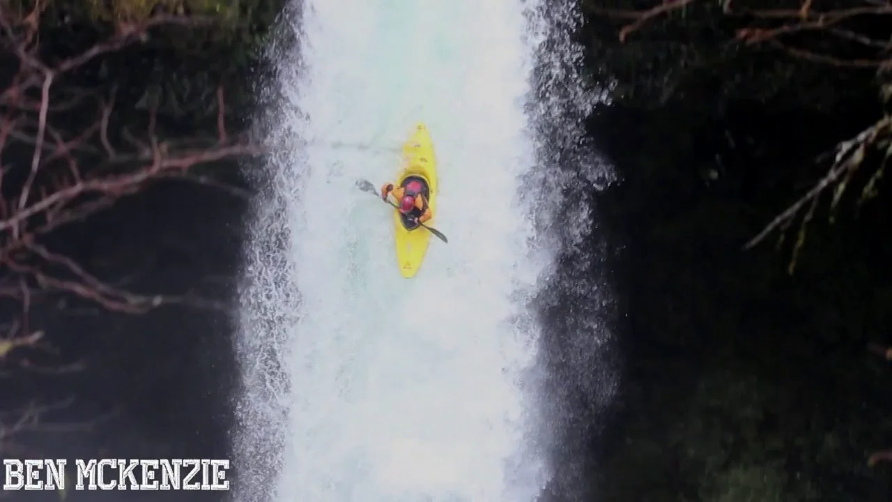
Eagle Creek
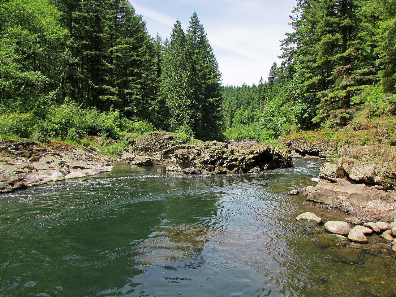
East Fork Lewis River
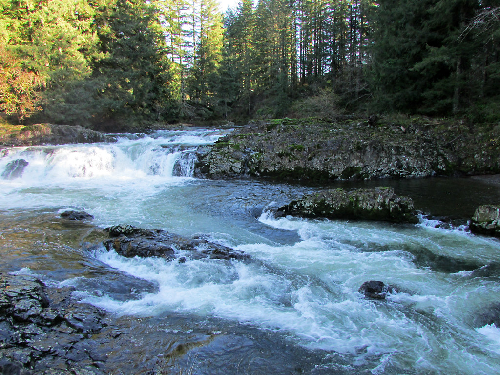
Lewis River
Explore Oregon waters
Top paddling waters
Popular Cities
Loading popular cities...
Explore near Bull Run River
Access points
Nearby waters
More in Oregon

Smarter Paddling Starts in the App.
Paddleways gives you everything you need to plan smarter, paddle better, and own every trip from first launch to takeout.