Clackamas River
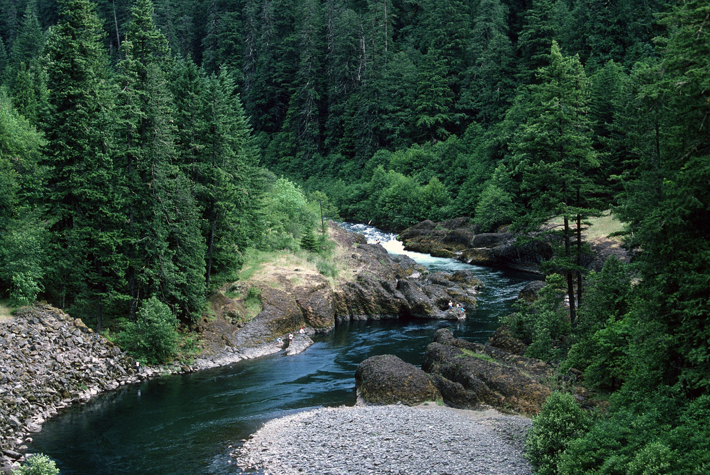
Clackamas River
- Boat Ramps
- 11
- Access Points
- 20
- Campsites
- 24
The Clackamas River is a waterway located in northwestern Oregon, flowing approximately 83 miles from its headwaters in the Cascade Range to its confluence with the Willamette River near Oregon City. Known for its pristine waters, lush forested canyons, and abundant recreational opportunities, the Clackamas offers something for paddlers of all skill levels.
The river can be broadly divided into two main sections: the Upper Clackamas and the Lower Clackamas. The Upper Clackamas, from Three Lynx to North Fork Reservoir, is a popular 13-mile stretch featuring exciting Class III-IV whitewater. This section is a favorite among experienced paddlers and rafters, with notable rapids like Hole in the Wall and Carter Bridge providing thrilling challenges.
The Lower Clackamas, from River Mill Dam to the Willamette confluence, offers a more relaxed experience with Class I-II rapids, making it ideal for beginners, families, and those seeking a scenic float. For adrenaline seekers, the Killer Fang section between the Collawash River confluence and Three Lynx Power Station presents a demanding Class IV run through a remote canyon.
Meanwhile, tributaries like the South Fork Clackamas and Eagle Creek offer additional paddling opportunities for skilled whitewater enthusiasts. The Clackamas' difficulty ranges from flatwater sections suitable for novices to challenging Class IV+ rapids that demand expert skills. This variety makes the river a year-round destination, with different sections coming into their prime depending on the season.
Spring snowmelt typically provides the most consistent flows for whitewater, while summer offers pleasant conditions for flatwater paddling and family floats on the lower sections. The river corridor is home to diverse wildlife, including osprey, bald eagles, and various fish species. The Clackamas is particularly renowned for its runs of wild, late-winter coho salmon and winter steelhead, making it a prized destination for anglers as well as paddlers.
Several notable landmarks punctuate the Clackamas' course, including the series of hydroelectric dams in its middle reaches. These dams, such as the North Fork Dam and Faraday Dam, have created reservoirs that offer additional flatwater paddling opportunities. The river also passes through Milo McIver State Park, a popular access point and camping area.
Access to the Clackamas is facilitated by its proximity to Portland, with the town of Estacada serving as a primary gateway to the upper river. Multiple put-in and take-out points along Oregon Highway 224 provide easy access to various sections.
Historically, the Clackamas held great significance for Native American tribes and later played a crucial role in the region's logging industry. Today, it serves as an important source of hydroelectric power and drinking water for the Portland metropolitan area, while also being a cherished recreational resource.
Safety considerations on the Clackamas include being aware of rapidly changing water levels, especially in spring, and the presence of wood hazards in some sections. Paddlers should always check current flow levels and wear appropriate safety gear. Some sections, particularly in the upper river, require permits or have seasonal closures, so it's essential to check regulations before planning a trip.
For those seeking a multi-day adventure, the Upper Clackamas offers possibilities for overnight trips, with several campgrounds along the river corridor. However, most paddling on the Clackamas is done as day trips due to its accessibility and the variety of section lengths available. Whether you're seeking heart-pounding whitewater action, a peaceful scenic float, or anything in between, the Clackamas River stands as one of Oregon's premier paddling destinations, offering a wealth of experiences for water enthusiasts of all types.
Water access, boat ramps & amenities
Learn how to get on Clackamas River. Uncover great paddling access points, boat ramps, and all the facilities you need for an unforgettable day on the water. Some locations shown may border or include private property. Always check property boundaries and applicable regulations before visiting. PaddleWays's Public & Private Land layer can help you plan your access with confidence.
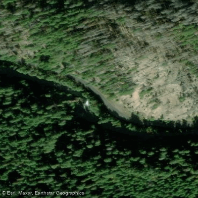
Take Out
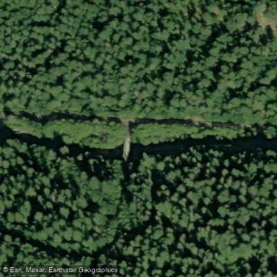
June Creek Bridge Access
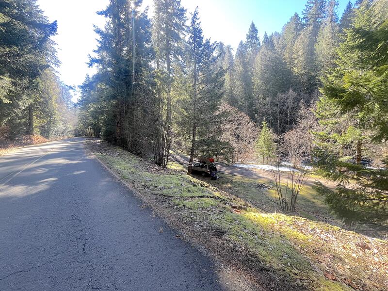
Put In
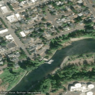
Charles Ames Memorial City Park Access
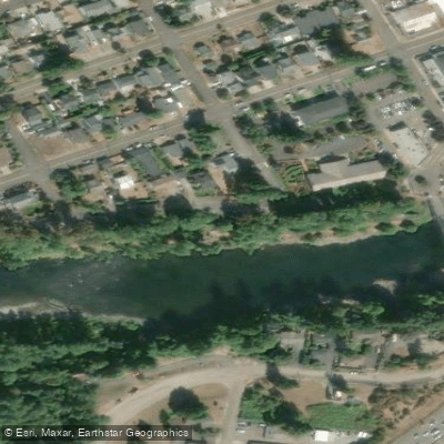
Cross Park Access
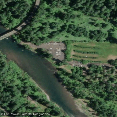
Barton Park Access
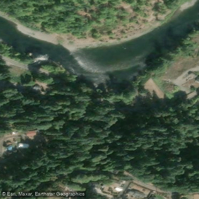
Clackamas River Drive Access
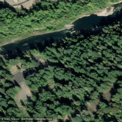
Rivermill Horse Trail Access
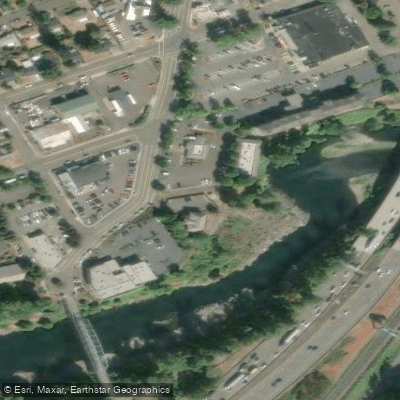
High Rocks City Park Access
Paddle smarter with real-time insights
Whether you're en route and conditions shift or you're looking for the best spot based on current flows, we enable you to make informed decisions on the fly.








Find Places to Paddle

Over 400,000 Places to Paddle
Every user gets free access to launch points, boat ramps, and public property parcels.


Water and weather conditions (10 day forecast)
See the best times to paddle Clackamas River and check the forecast before you go.
CLACKAMAS RIVER ABOVE THREE LYNX CREEK, OR
All Flow Stations
Paddling near Clackamas River
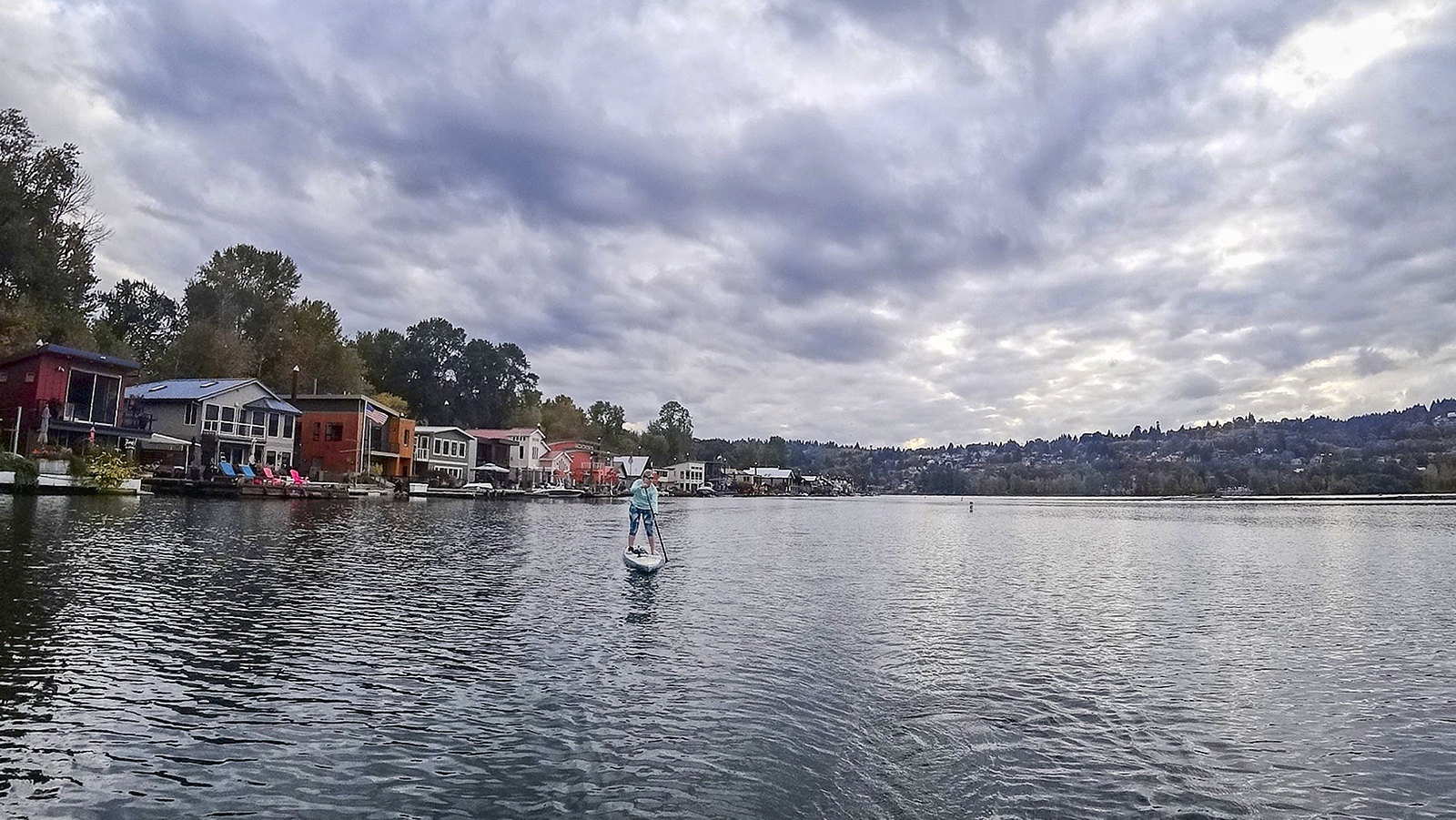
Willamette River
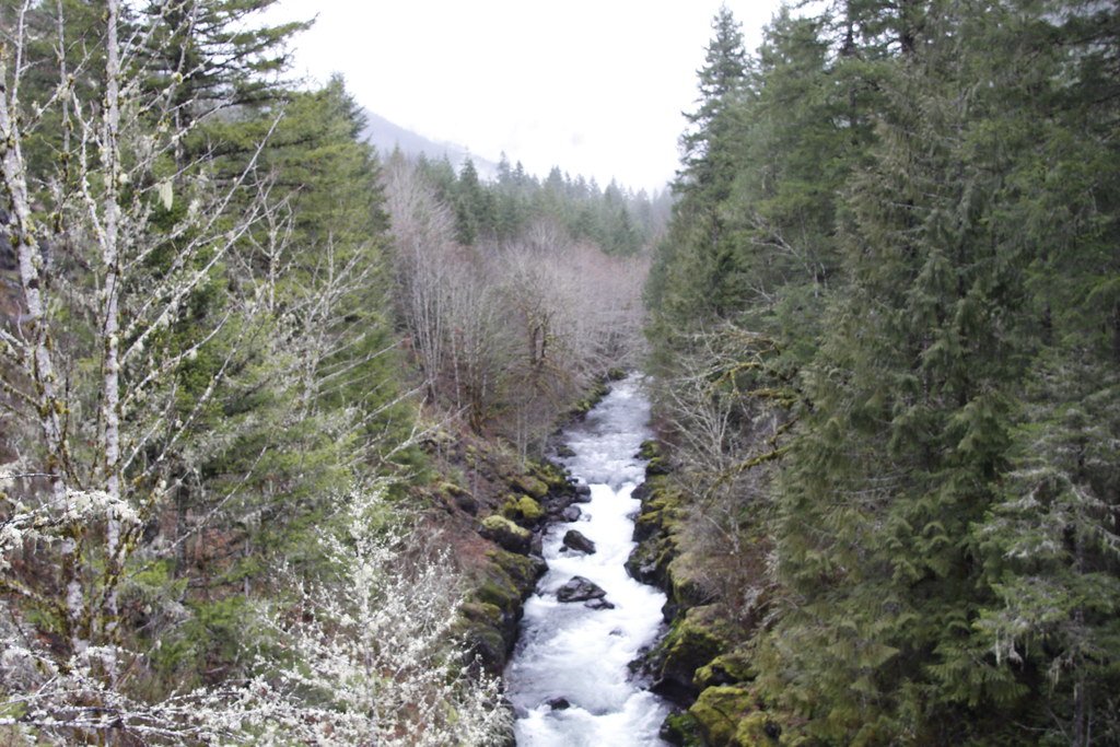
Molalla River

Columbia River
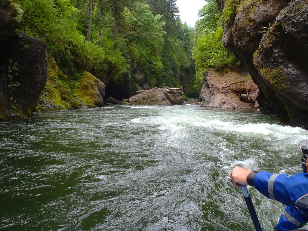
Sandy River
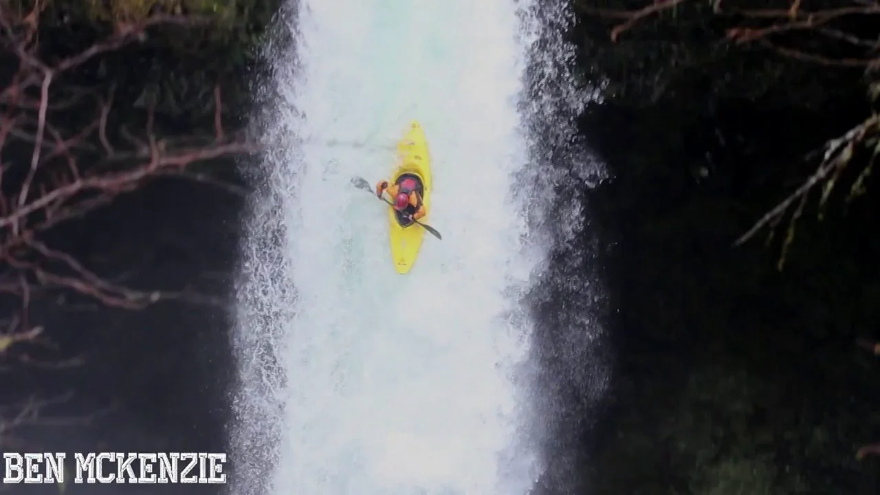
Eagle Creek
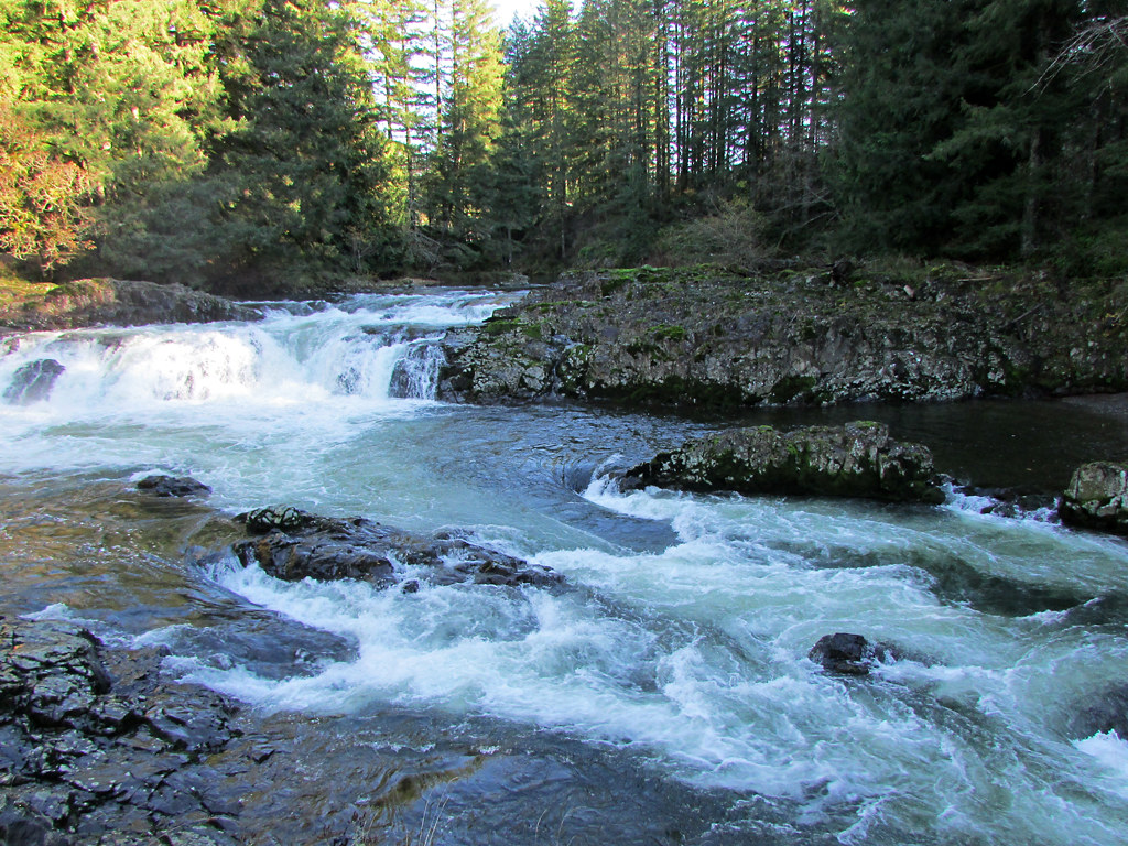
Lewis River
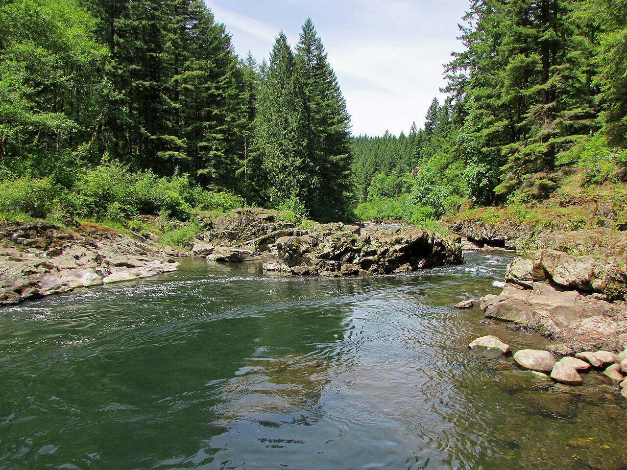
East Fork Lewis River
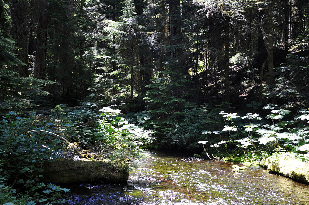
Bull Run River
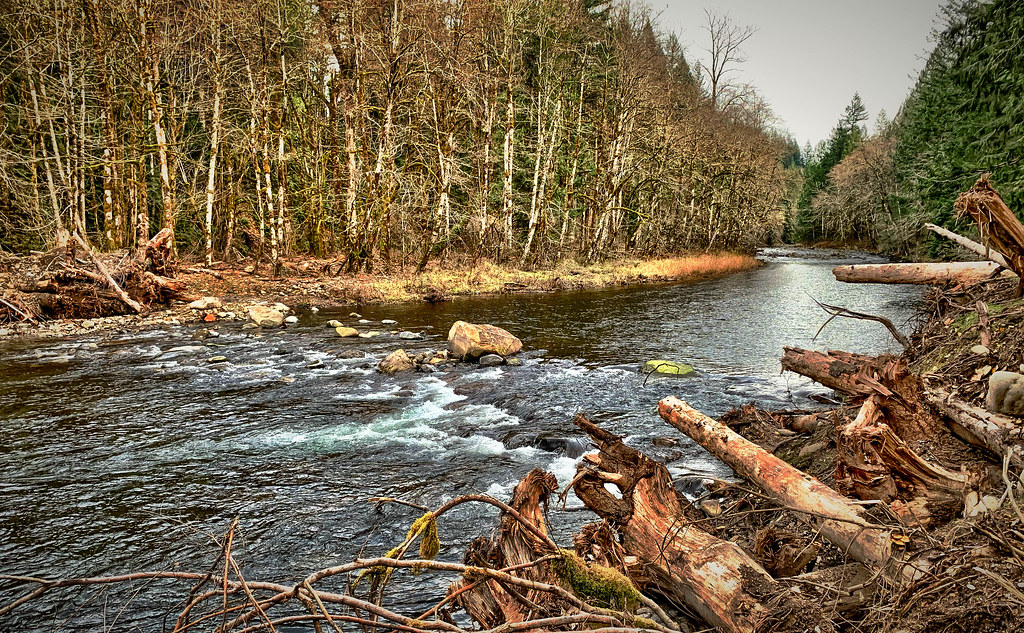
Salmon River
Explore Oregon waters
Top paddling waters
Popular Cities
Loading popular cities...
Explore near Clackamas River
Access points
- Estacada Lake Boat Ramp
- Milo McIver State Park Boat Ramp
- Clackamette River Boat Ramp
- Riverside Park Boat Ramp
- Fish Creek Wooden Boat Slide Boat Ramp
- Upper Clackamas Put-In
- Carver Boat Ramp
- Killer Fang Falls Take Out
- Feldheimer Floating Launch Boat Ramp
- Barton Park Boat ramp
- Upper Clackamas Take-Out
- Take Out
- All 132 spots
Nearby waters
More in Oregon

Smarter Paddling Starts in the App.
Paddleways gives you everything you need to plan smarter, paddle better, and own every trip from first launch to takeout.