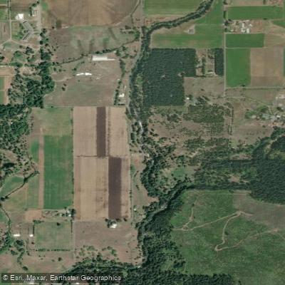
Curated by PaddleWays
RouteClass II
- Distance
- 2.8 mi
- Paddle time
- ~0.5 hrs
- Best for
- Intermediate paddlers
- Put-in → take-out
- Middle White Salmon Take-out → Lower Lower White Salmon Put-in
The White Salmon River is a pristine, glacier-fed waterway that originates on the slopes of Mount Adams in Washington state and flows for 44 miles before joining the Columbia River. Renowned for its crystal-clear blue waters, lush forested canyons, and exhilarating whitewater, the White Salmon offers a diverse range of paddling experiences for rafters and kayakers of all skill levels.
The river is divided into several distinct sections, each with its own character and challenges. The upper reaches, known as "The Farmlands," offer Class IV-IV+ rapids through a spectacular vertical-walled gorge. Moving downstream, the infamous "Green Truss" section presents expert paddlers with intense Class V whitewater, including big rapids and waterfalls.
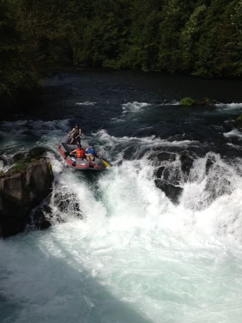
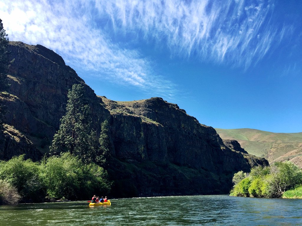
The middle section, from BZ Corner to Husum Falls, is the most popular for commercial rafting, featuring exciting Class III-IV rapids and the optional 10-foot Husum Falls. For those seeking a more relaxed experience, the lower sections below Husum Falls provide Class II-III rapids through scenic canyons.
The removal of Condit Dam in 2011 opened up new paddling opportunities in the lower river, including the dramatic "Narrows" section near the confluence with the Columbia. The White Salmon's difficulty ranges from Class II to V, making it suitable for beginners to experts. However, paddlers should always be aware of their skill level and choose appropriate sections.
The river's consistent flow, fed by springs and glacial melt, allows for year-round paddling. Summer offers warm weather and exciting high water, while fall provides more technical low-water runs.
The river corridor is home to diverse flora and fauna, including Douglas fir, ponderosa pine, and various wildflowers. Wildlife such as ospreys, bald eagles, and even the occasional bear can be spotted along the banks. The White Salmon's unique ecosystem is partly due to its designation as a Wild and Scenic River, which has helped preserve its natural beauty.
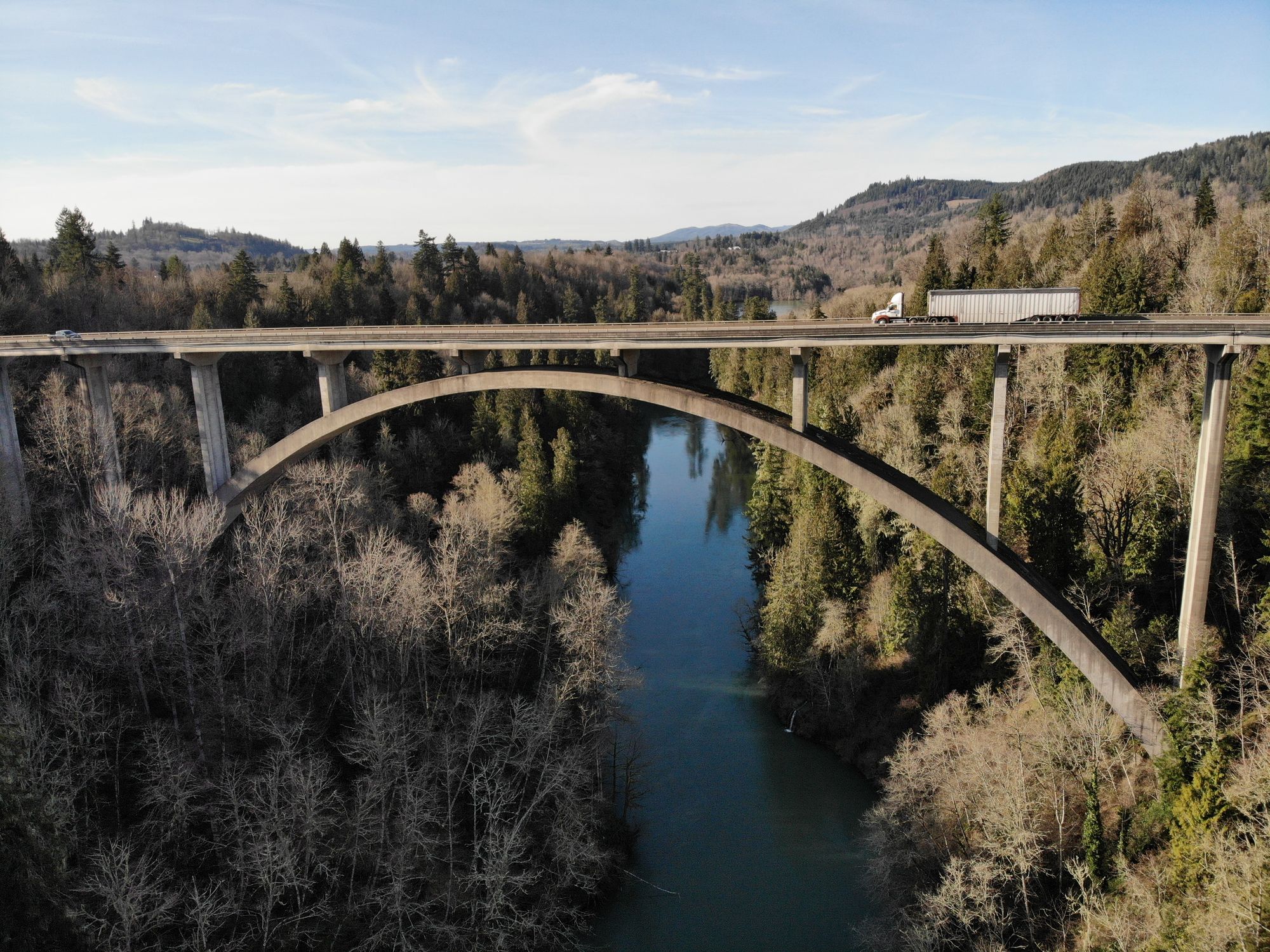
Notable landmarks include the Green Truss Bridge, BZ Corner, and Husum Falls. The nearby towns of White Salmon and Hood River serve as gateways to the river, offering amenities and access points for paddlers.
The river holds cultural significance for Native American tribes and played a role in the region's logging history. Safety is paramount on the White Salmon. Paddlers should be aware of rapidly changing water levels, cold water temperatures year-round, and the presence of strainers and other hazards. Some sections require advanced skills and local knowledge, so hiring a guide or joining a commercial trip is recommended for less experienced paddlers.
For those seeking a multi-day adventure, the White Salmon can be combined with other nearby rivers like the Klickitat or Hood for an extended whitewater experience. A popular full-day trip covers 15 miles from the upper sections through the middle gorge and down to the lower canyon, offering a comprehensive taste of the river's diverse character.
The White Salmon River stands as a testament to the raw beauty and power of the Pacific Northwest's waterways, providing thrilling adventures and serene natural experiences for all who visit its shores.
Curated routes
Hand-picked by the PaddleWays team, with put-ins, take-outs, paddle times and the hazards along the way.
RouteClass II
RouteClass III
RouteClass III–IV
RouteClass III–V
RouteClass IV
Hazards
No paddler has reported a hazard here yet, so these are the dams, falls and big rapids on our map. Hazards change with flows and storms, so check them before you launch.
Rapid · Class IV
Class IV (V at high water) The traditional line is a lefty boof at the center-right of the drop.
Rapid · Class V
Class V-/V There are permenant ropes set up along the left bank for scouting and portaging, use them.
From the community
Nobody has shared a trip on White Salmon River yet. Paddle it, then tell the next paddler how it went.
Joe R. •
Husum falls a few years ago…
See exactly where the public can get on and off the river. Launch points and boat ramps are paired with PaddleWays' public land data so you know where you can legally land.
Public shoreline
37%of the river's shoreline is public
Most of the riverbank is private. Launch, land and camp only at public access points.
Flows, weather and a route-by-route verdict, so you know which stretch of the White Salmon River is worth paddling today.
Live flows, marked hazards and fresh trip reports from paddlers who were just on the water, all in one place.





Every user gets free access to launch points, boat ramps, and public property parcels.
Loading popular cities...
PaddleWays gives you everything you need to plan smarter, paddle better, and own every trip from first launch to takeout.