Beech Fork Lake

Beech Fork Lake
- Boat Ramps
- 2
- Access Points
- 4
- Campsites
- 1
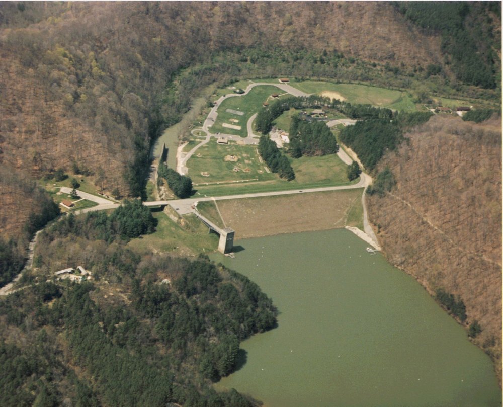
Beech Fork Lake is a 720-acre reservoir in southwestern West Virginia, offering 31 miles of shoreline with coves and creeks along its natural serpentine shape. The lake's calm waters are ideal for paddlers of all skill levels, with ample space to explore. Surrounded by forested hills, the lake provides excellent opportunities for wildlife viewing.
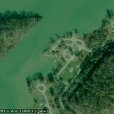
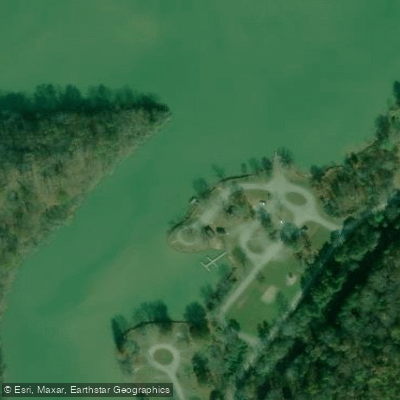
Beech Fork State Park provides access via a paved boat launch, open from April to November. The park's boat dock, operational from Memorial Day through Labor Day, offers canoe, kayak, jon boat, paddle boat, and stand-up paddleboard rentals from noon to 8 p.m. daily. Life jackets are required and provided with rentals. To rent a boat, paddlers must be 16 or older and present valid identification.
The lake is home to various fish species, including largemouth and hybrid striped bass, crappie, catfish, sauger, and bluegill. Anglers should note that a proper fishing license is required.
Beech Fork Lake was created in the 1970s by the U.S. Army Corps of Engineers, who dammed the Beech and Miller forks of Twelvepole Creek near Lavalette. The project's purpose was flood control, recreation, and wildlife management. The lake has been a popular destination for locals and travelers since its opening in 1979.
For extended stays, Beech Fork State Park offers camping facilities, including 80 lakefront campsites. The park also features hiking trails, providing additional recreational opportunities for paddlers looking to stretch their legs.
Power boats are permitted on the lake, but are limited to 10 mph, minimizing wake issues for paddlers. There are no houses or development along the shoreline, preserving the lake's natural setting.
Paddlers should be aware that the lake can get busy during summer weekends. For a quieter experience, consider visiting on weekdays or during the shoulder seasons of spring and fall.
Water access, boat ramps & amenities
Learn how to get on Beech Fork Lake. Uncover great paddling access points, boat ramps, and all the facilities you need for an unforgettable day on the water. Some locations shown may border or include private property. Always check property boundaries and applicable regulations before visiting. PaddleWays's Public & Private Land layer can help you plan your access with confidence.
Paddle smarter with real-time insights
Whether you're en route and conditions shift or you're looking for the best spot based on current flows, we enable you to make informed decisions on the fly.








Find Places to Paddle

Over 400,000 Places to Paddle
Every user gets free access to launch points, boat ramps, and public property parcels.


Water and weather conditions (10 day forecast)
See the best times to paddle Beech Fork Lake and check the forecast before you go.
No forecast data available.
Paddling near Beech Fork Lake

Ohio River
Guyandotte River
Grayson Lake
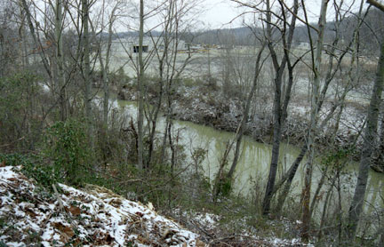
Little Sandy River
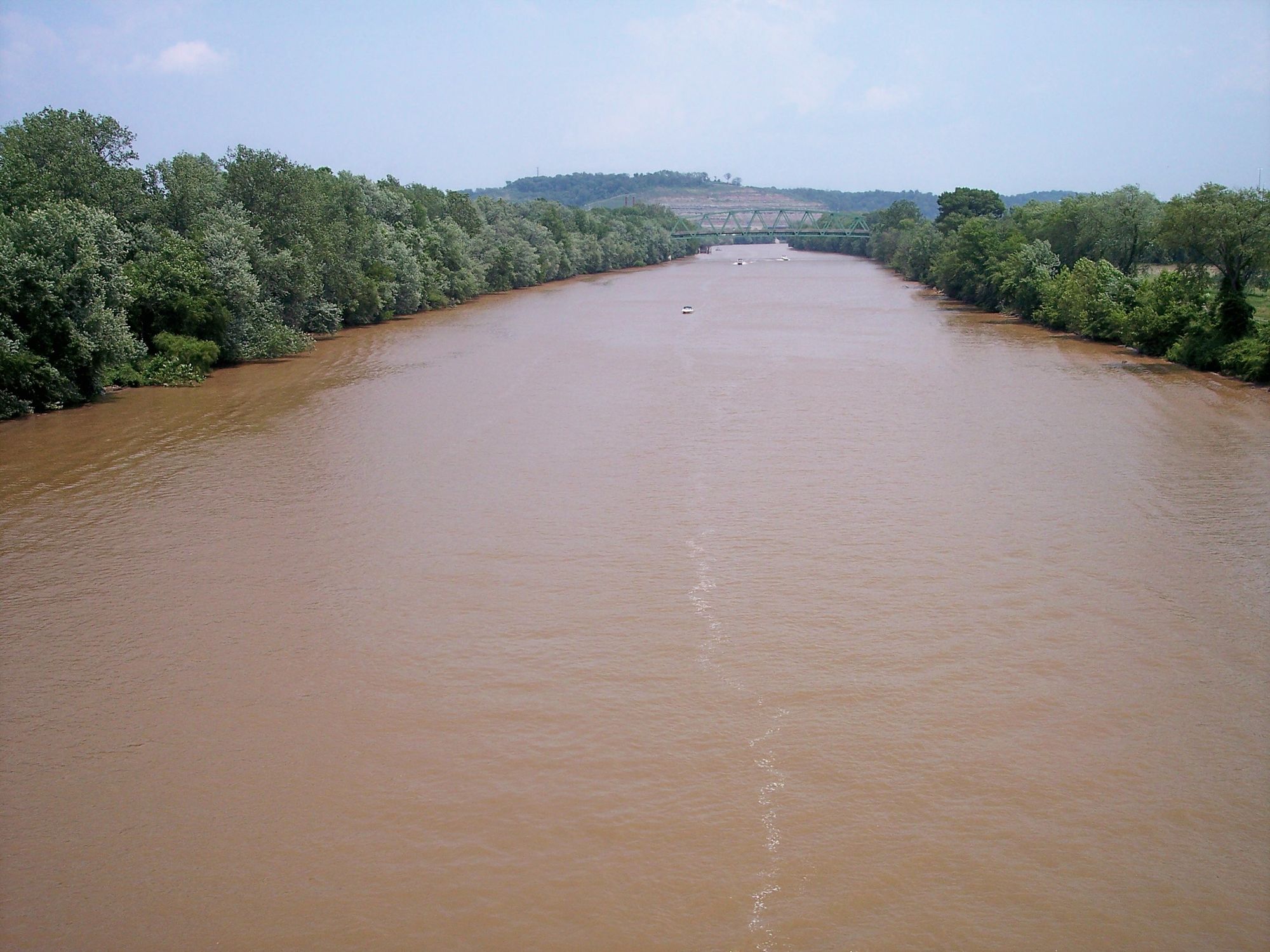
Kanawha River
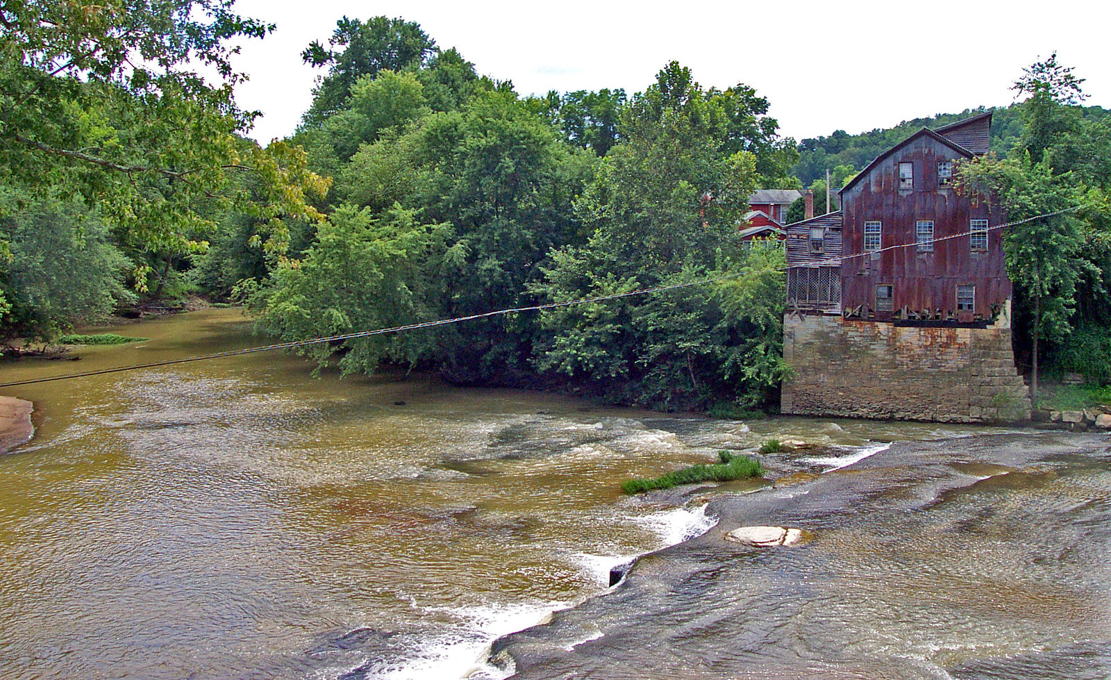
Raccoon Creek
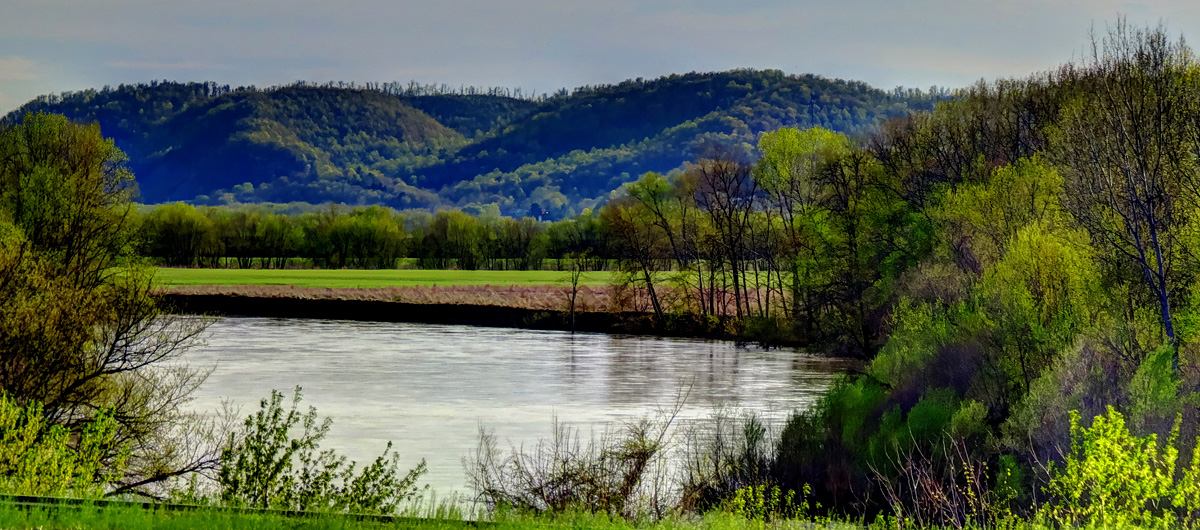
Scioto River
Dewey Lake
Elk River
Explore West Virginia waters
Top paddling waters
Popular Cities
Loading popular cities...
Explore near Beech Fork Lake
Access points
Nearby waters
More in West Virginia

Smarter Paddling Starts in the App.
Paddleways gives you everything you need to plan smarter, paddle better, and own every trip from first launch to takeout.