Little Sandy River
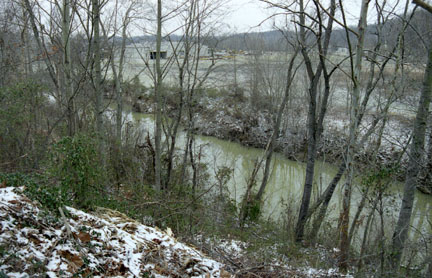
Little Sandy River
- Boat Ramps
- 4
- Access Points
- 9
- Campsites
- 5
The Little Sandy River is a picturesque waterway that flows through the rugged terrain of eastern Kentucky. Originating in Elliott County, the river meanders northward for approximately 85 miles before emptying into the Ohio River near Greenup. Its watershed encompasses parts of Elliott, Carter, and Greenup counties, draining an area of about 724 square miles.
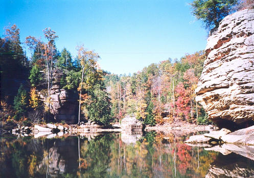
The Little Sandy offers paddlers a range of experiences, from serene flatwater sections to more challenging whitewater runs. The upper reaches, particularly the stretch from Laurel Gorge to Grayson Lake, provide the most exciting paddling opportunities. This 15-19 mile section features Class II-III rapids, numerous waterfalls, and impressive sandstone cliffs. The scenery is truly spectacular, with lush forests of evergreens and hardwoods lining the banks. Downstream, the river mellows as it approaches Grayson Lake, offering easier Class I-II paddling suitable for intermediate kayakers and canoeists. The 27-mile journey from Sandy Hook to Grayson Lake is a popular route, showcasing the region's natural beauty.
The best paddling conditions typically occur in spring and early summer when water levels are optimal. Late summer and fall can be too low for enjoyable trips, especially in the upper sections. Paddlers should always check water levels and weather forecasts before embarking on a trip.
Wildlife enthusiasts will appreciate the diverse ecosystem along the Little Sandy. The river is home to various fish species, including smallmouth bass and muskie. Bald eagles, great blue herons, and numerous songbirds can be spotted along the forested banks.
Key landmarks include the Laurel Gorge Cultural Heritage Center, located near the put-in for many upper river trips, and Grayson Lake State Park, a popular take-out point. The town of Sandy Hook serves as a primary access point for many paddlers.
For those seeking a multi-day adventure, the river offers opportunities for overnight trips, particularly on the upper sections. Campsites are available along the banks, allowing paddlers to fully immerse themselves in the wilderness experience.
Safety considerations include being prepared for remote areas with limited cell phone coverage, especially in the Laurel Gorge area. Paddlers should be aware of potential strainers and should always wear appropriate safety gear.
The Little Sandy River played a significant role in the region's history, supporting early settlements and industry. Today, it stands as a testament to Kentucky's natural heritage and offers outdoor enthusiasts a chance to explore one of the state's hidden gems.
Water access, boat ramps & amenities
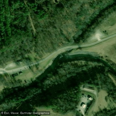
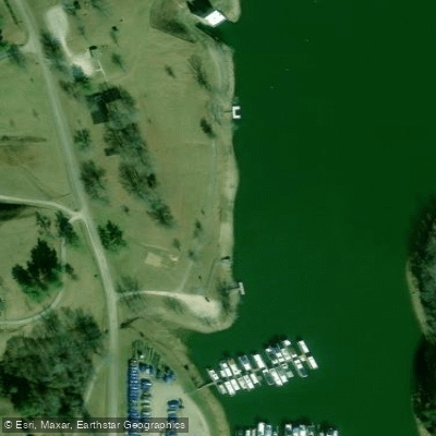
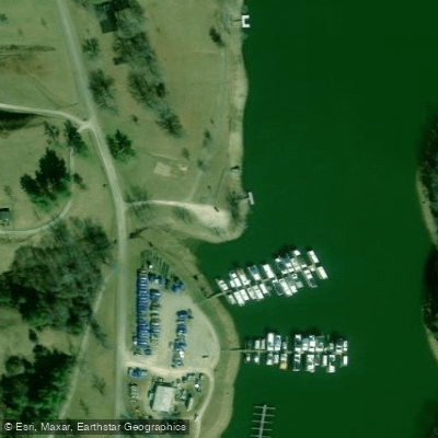
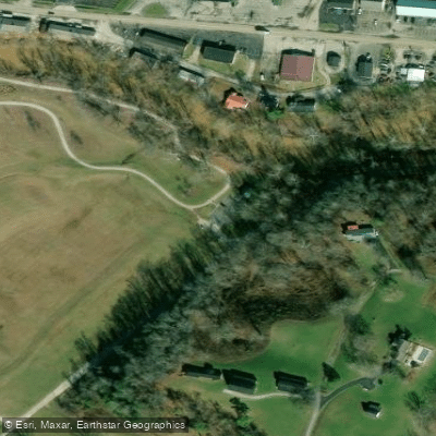
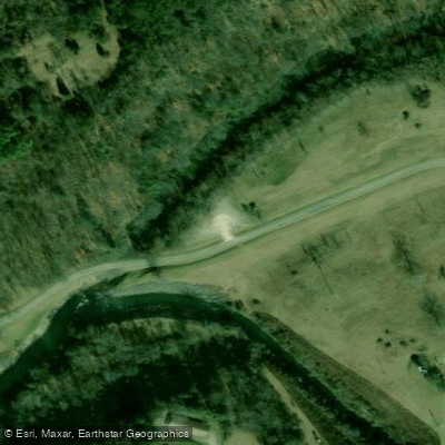
Learn how to get on Little Sandy River. Uncover great paddling access points, boat ramps, and all the facilities you need for an unforgettable day on the water. Some locations shown may border or include private property. Always check property boundaries and applicable regulations before visiting. PaddleWays's Public & Private Land layer can help you plan your access with confidence.
Paddle smarter with real-time insights
Whether you're en route and conditions shift or you're looking for the best spot based on current flows, we enable you to make informed decisions on the fly.








Find Places to Paddle

Over 400,000 Places to Paddle
Every user gets free access to launch points, boat ramps, and public property parcels.


Water and weather conditions (10 day forecast)
See the best times to paddle Little Sandy River and check the forecast before you go.
LITTLE SANDY RIVER BELOW GRAYSON DAM NEAR LEON, KY
All Flow Stations
Paddling near Little Sandy River

Ohio River
Grayson Lake
Guyandotte River
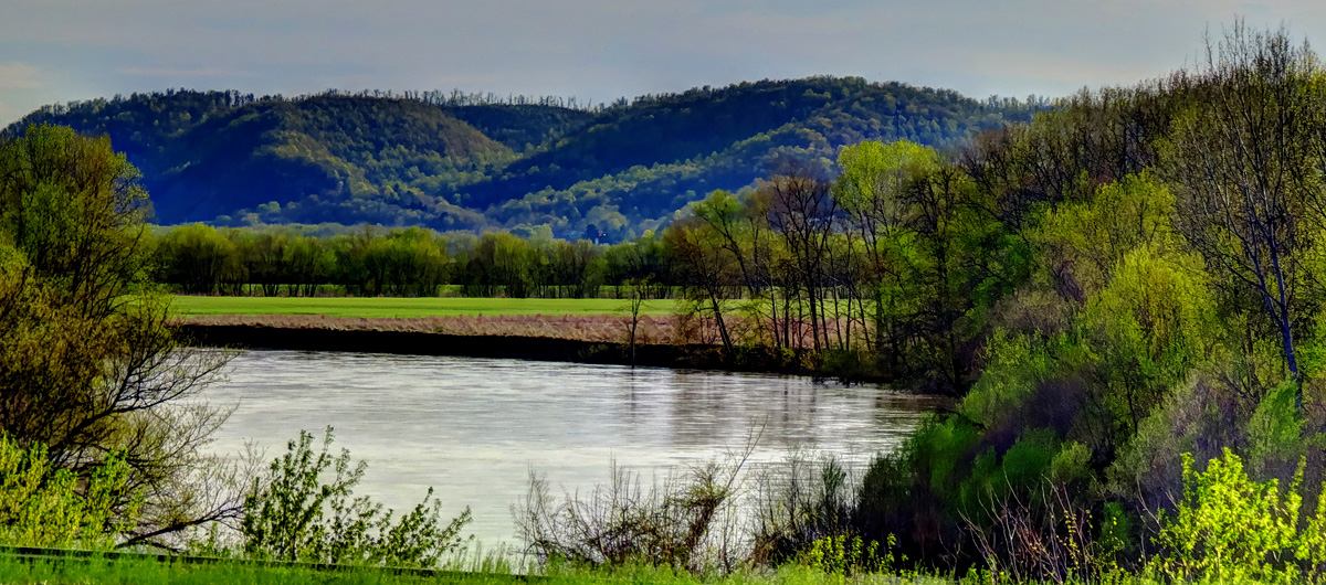
Scioto River
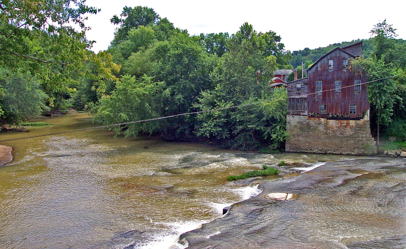
Raccoon Creek
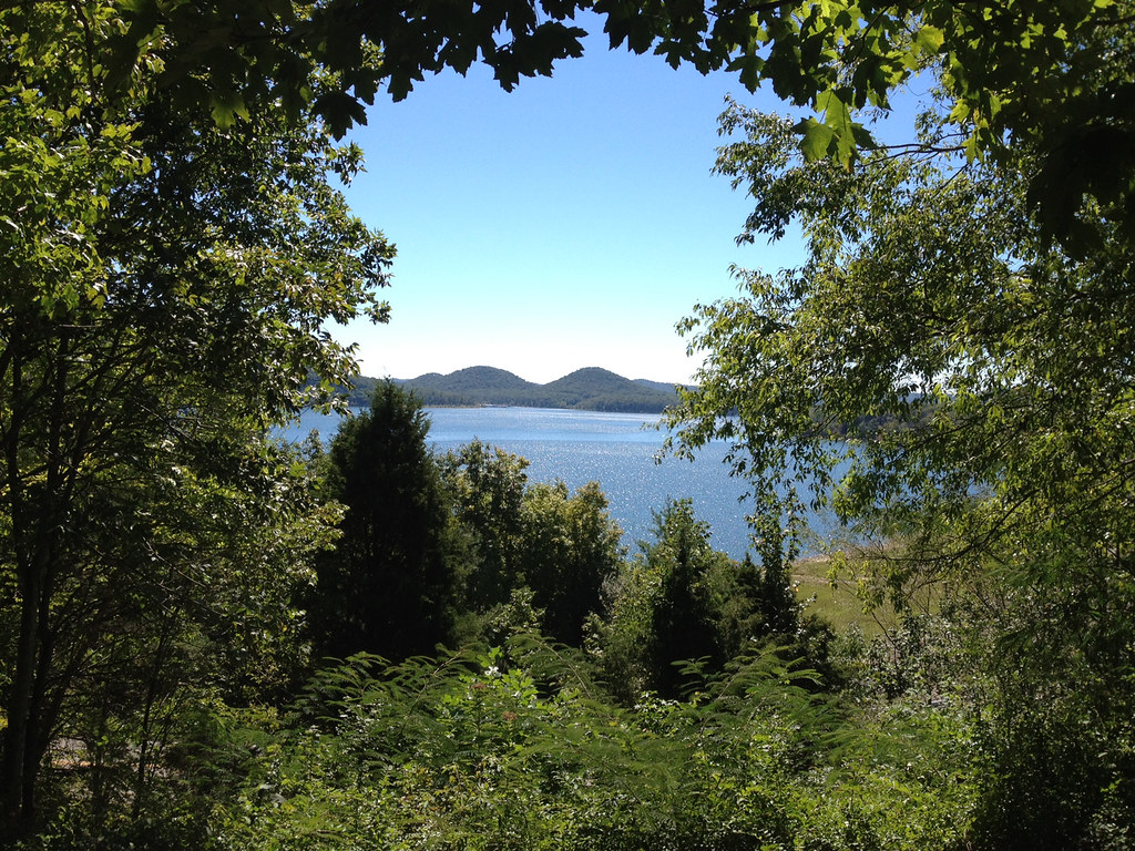
Cave Run Lake
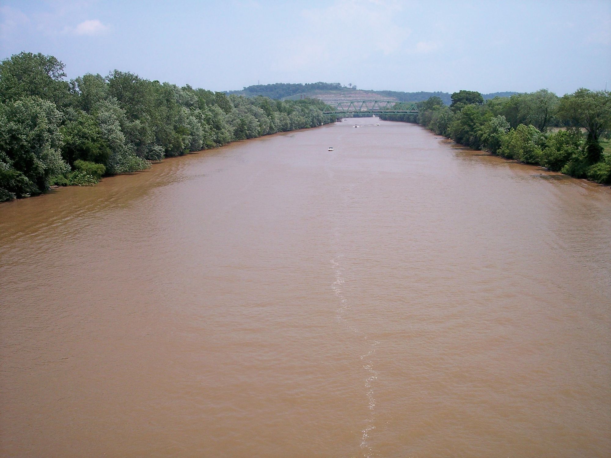
Kanawha River
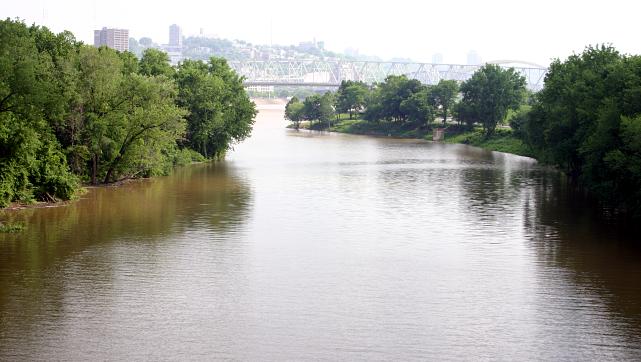
Licking River
Lake Vesuvius
Explore Kentucky waters
Top paddling waters
Popular Cities
Loading popular cities...
Explore near Little Sandy River
Access points
Nearby waters
More in Kentucky

Smarter Paddling Starts in the App.
Paddleways gives you everything you need to plan smarter, paddle better, and own every trip from first launch to takeout.