Guyandotte River
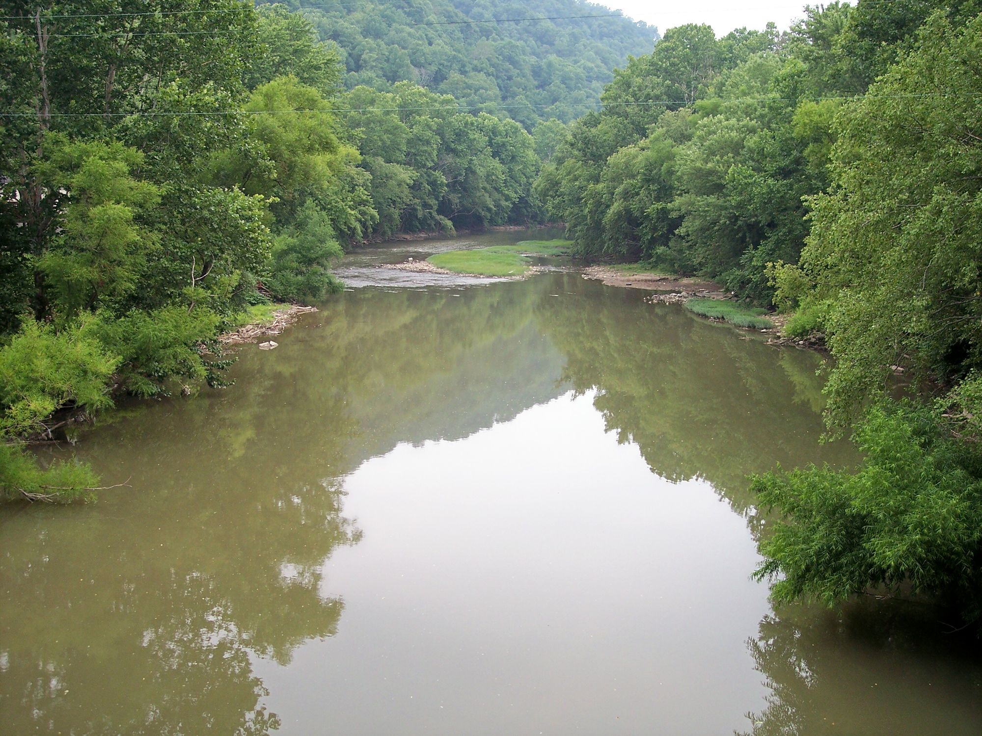
Guyandotte River
- Boat Ramps
- 21
- Access Points
- 23
- Campsites
- 1
The Guyandotte River is a 166-mile long tributary of the Ohio River that flows through southern West Virginia. Originating in Wyoming County, it travels northwest through Logan, Lincoln, and Cabell counties before joining the Ohio River at Huntington. Major tributaries include the Mud River, which joins near Barboursville.
The Guyandotte offers diverse paddling opportunities along its course. The upper reaches in Wyoming County feature an 8-mile stretch of Class I-III whitewater from Simon to R.D. Bailey Lake, popular among intermediate paddlers. As the river flows downstream, it transitions to mostly flatwater suitable for beginners and families. The 160-mile Guyandotte Water Trail provides a comprehensive paddling experience with 24 designated access points. Difficulty ranges from flatwater to Class III rapids, with most sections being Class I-II.
Spring typically offers the best water levels for whitewater, while summer is ideal for flatwater trips. The river passes through diverse Appalachian landscapes, from scenic mountain gorges to rolling farmland and urban areas. Wildlife viewing opportunities include deer, turkey, and various bird species. Black bear sightings are possible in more remote upper sections.
Key landmarks include R.D. Bailey Lake, a 630-acre impoundment offering additional paddling options, and the historic village of Guyandotte near the river's mouth. The river played a significant role in early settlement and transportation in the region.
Popular access points include Simon and Baileysville in Wyoming County, Man in Logan County, West Hamlin in Lincoln County, and Barboursville Park in Cabell County. Huntington provides urban paddling experiences near the confluence with the Ohio River.
Safety considerations include checking water levels, especially for whitewater sections, and being aware of potential strainers in wooded areas. Some sections may have limited cell phone coverage. Multi-day trips are possible along the Guyandotte Water Trail, with numerous camping options available. A full river descent from Wyoming County to Huntington would take approximately 7-10 days, offering an immersive journey through southern West Virginia's diverse landscapes and communities.
Water access, boat ramps & amenities
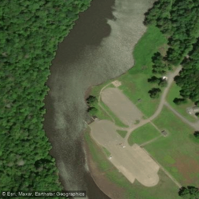
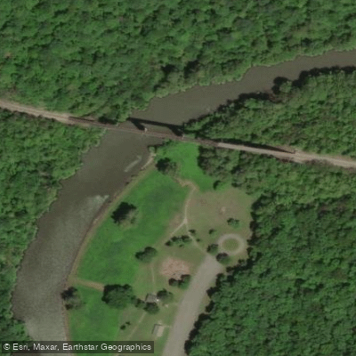
Learn how to get on Guyandotte River. Uncover great paddling access points, boat ramps, and all the facilities you need for an unforgettable day on the water. Some locations shown may border or include private property. Always check property boundaries and applicable regulations before visiting. PaddleWays's Public & Private Land layer can help you plan your access with confidence.
Paddle smarter with real-time insights
Whether you're en route and conditions shift or you're looking for the best spot based on current flows, we enable you to make informed decisions on the fly.








Find Places to Paddle

Over 400,000 Places to Paddle
Every user gets free access to launch points, boat ramps, and public property parcels.


Water and weather conditions (10 day forecast)
See the best times to paddle Guyandotte River and check the forecast before you go.
GUYANDOTTE RIVER NEAR BAILEYSVILLE, WV
All Flow Stations
Paddling near Guyandotte River
Kanawha River
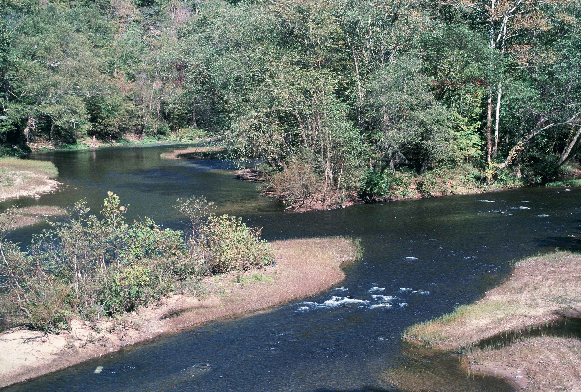
Elk River
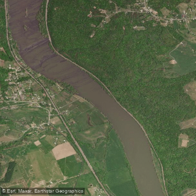
New River

Ohio River
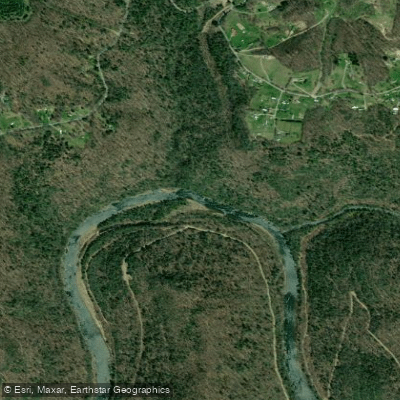
Gauley River
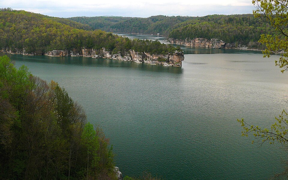
Summersville Lake
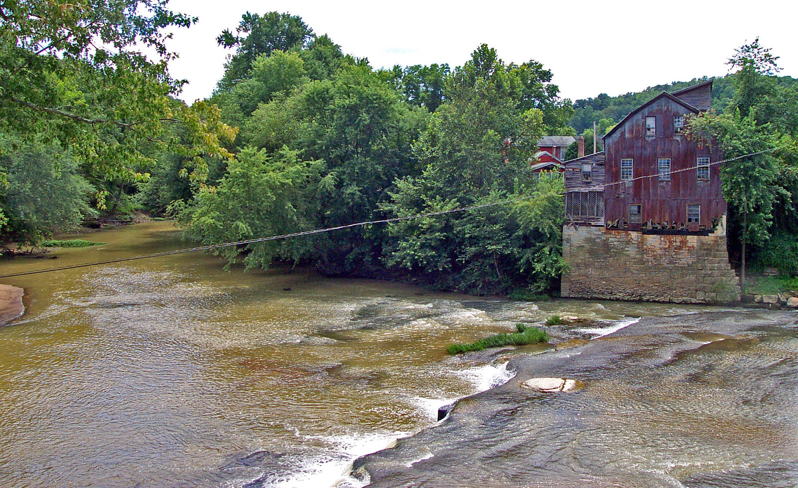
Raccoon Creek
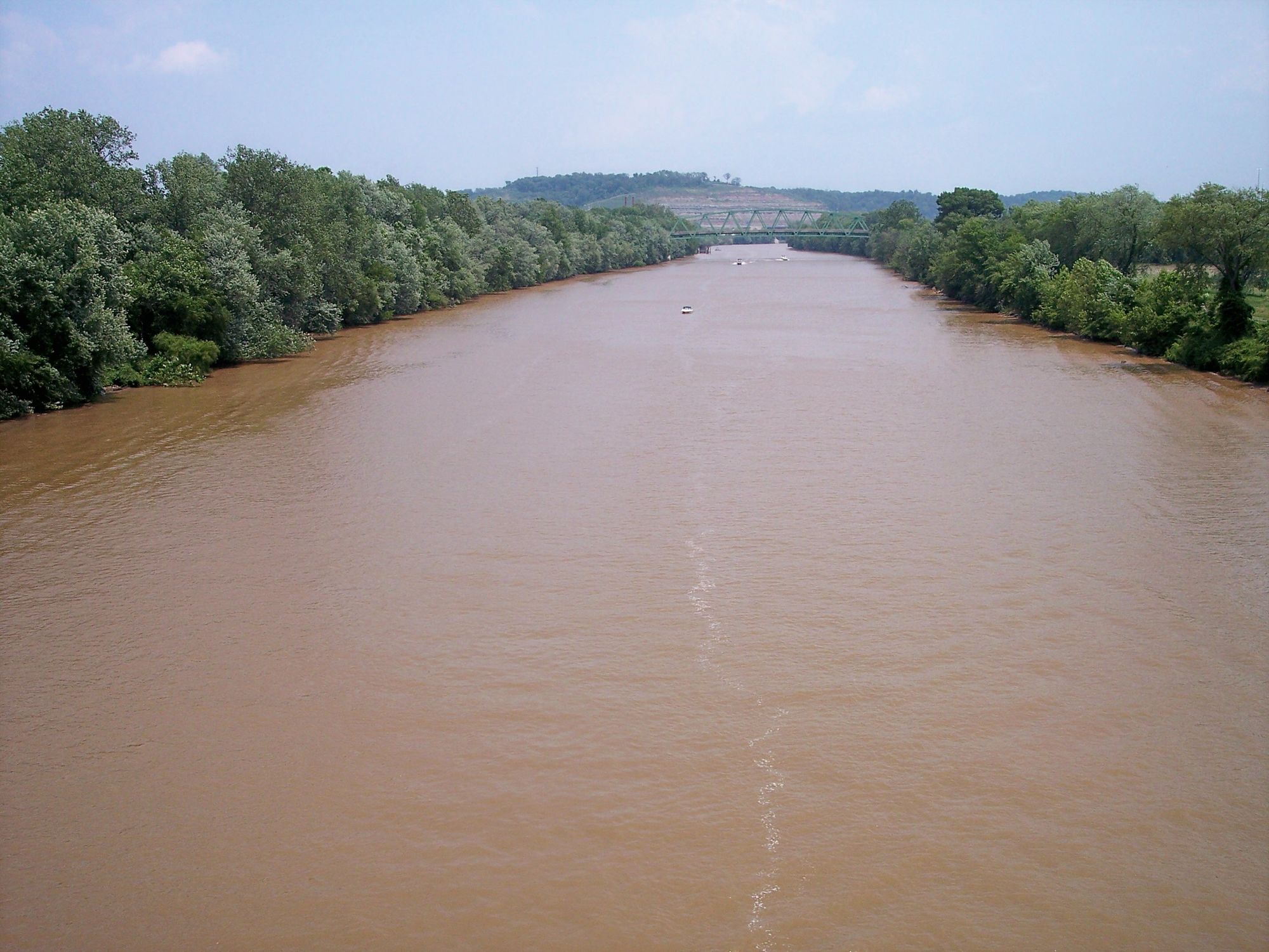
Little Kanawha River
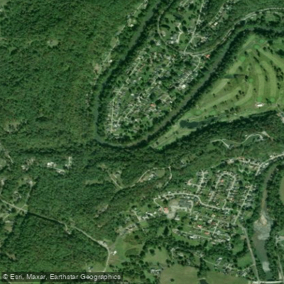
Coal River
Explore West Virginia waters
Top paddling waters
Popular Cities
Loading popular cities...
Explore near Guyandotte River
Access points
- St Rt 16 Bridge at Mullens Boat Ramp
- Man Boat Ramp
- Chapmanville Boat Ramp
- St Rt 16 Bridge Pineville Boat Ramp
- RD Bailey Lake Tailwaters Boat Ramp
- Guyandotte Campground Boat Ramp
- CR 14 Bridge Boat Ramp
- Farmdale Bridge Boat Ramp
- Wylo Boat Ramp
- Mouth of Horse Creek Boat Ramp
- Rocky Creek Boat Ramp
- Harts Creek Boat Ramp
- All 41 spots
Nearby waters
More in West Virginia

Smarter Paddling Starts in the App.
Paddleways gives you everything you need to plan smarter, paddle better, and own every trip from first launch to takeout.