Coal River
Coal River
- Boat Ramps
- 5
- Access Points
- 6
- Campsites
- 1
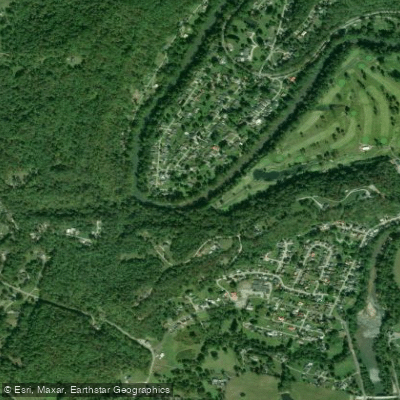
The Coal River is a significant waterway in southern West Virginia, formed by the confluence of the Big Coal River and Little Coal River near Alum Creek. From this origin point, the main stem flows northward through western Kanawha County for approximately 15 miles before emptying into the Kanawha River at St. Albans. The entire Coal River system, including its major tributaries, spans about 88 miles. The Coal River Walhonde Water Trail covers nearly the full length of the Big, Little, and main Coal Rivers, offering paddlers a diverse range of flatwater to mild whitewater experiences.
The difficulty ranges from calm flatwater sections suitable for beginners to Class I-II rapids, with a notable Class II-IV section on the Marsh Fork near Whitesville. Most of the river is appropriate for novice to intermediate paddlers. Paddling opportunities are available year-round, but spring and early summer typically offer optimal water levels. The river flows through scenic Appalachian landscapes, passing landmarks such as the Boone County Water Park and the trailhead for the Hatfield-McCoy ATV Center. Wildlife enthusiasts may spot various bird species and fish, including trout in some sections.
Key access points include Whitesville on the Big Coal River, Madison on the Little Coal River, and several parks along the main stem such as Meadowood Park in Tornado and Lions Park near St. Albans. The river features approximately 17 Department of Natural Resources boat launches, facilitating easy access for day trips or longer adventures.
The Coal River holds historical significance as a former transportation route for timber and coal. Remnants of this industrial past can be seen at Lower Falls, where an old lock and dam site is located. Today, the river is central to local recreation and conservation efforts, with the Coal River Group leading initiatives to improve water quality and promote responsible use. The annual Tour de Coal event, typically held in June, draws thousands of paddlers for an 11-mile journey from Tornado to St. Albans. This flatwater float has become one of the nation's largest kayaking events and serves as a fundraiser for river conservation.
Safety considerations include checking water levels before paddling, as some sections can become more challenging at higher flows. Paddlers should also be aware of potential strainers and submerged obstacles, particularly in less frequently paddled areas. For those seeking a multi-day adventure, the entire 88-mile Walhonde Water Trail can be tackled in sections, with numerous access points allowing for customized trip planning. Local outfitters offer kayak rentals and shuttle services for those without their own equipment.
The Coal River system provides a unique blend of accessible paddling, scenic beauty, and historical interest, making it a valuable recreational resource for West Virginia and a destination for paddlers from across the region.
Water access, boat ramps & amenities
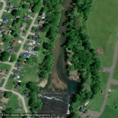
Learn how to get on Coal River. Uncover great paddling access points, boat ramps, and all the facilities you need for an unforgettable day on the water. Some locations shown may border or include private property. Always check property boundaries and applicable regulations before visiting. PaddleWays's Public & Private Land layer can help you plan your access with confidence.
Paddle smarter with real-time insights
Whether you're en route and conditions shift or you're looking for the best spot based on current flows, we enable you to make informed decisions on the fly.








Find Places to Paddle

Over 400,000 Places to Paddle
Every user gets free access to launch points, boat ramps, and public property parcels.


Water and weather conditions (10 day forecast)
See the best times to paddle Coal River and check the forecast before you go.
COAL RIVER AT TORNADO, WV
Paddling near Coal River
Kanawha River
Elk River
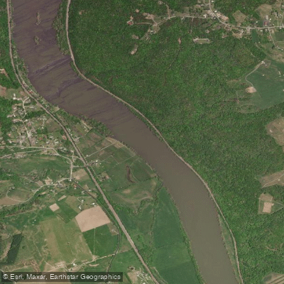
New River

Ohio River
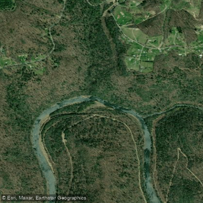
Gauley River
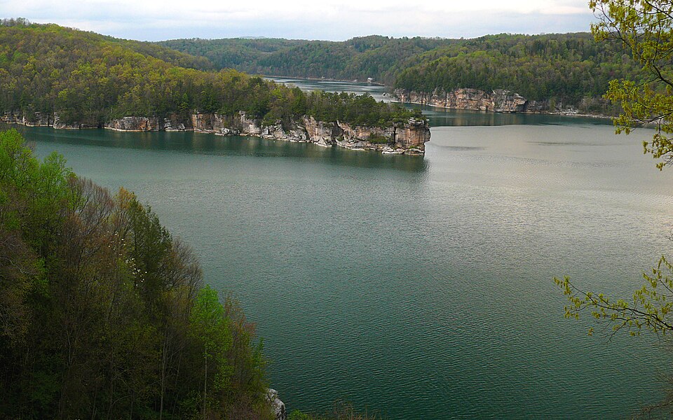
Summersville Lake
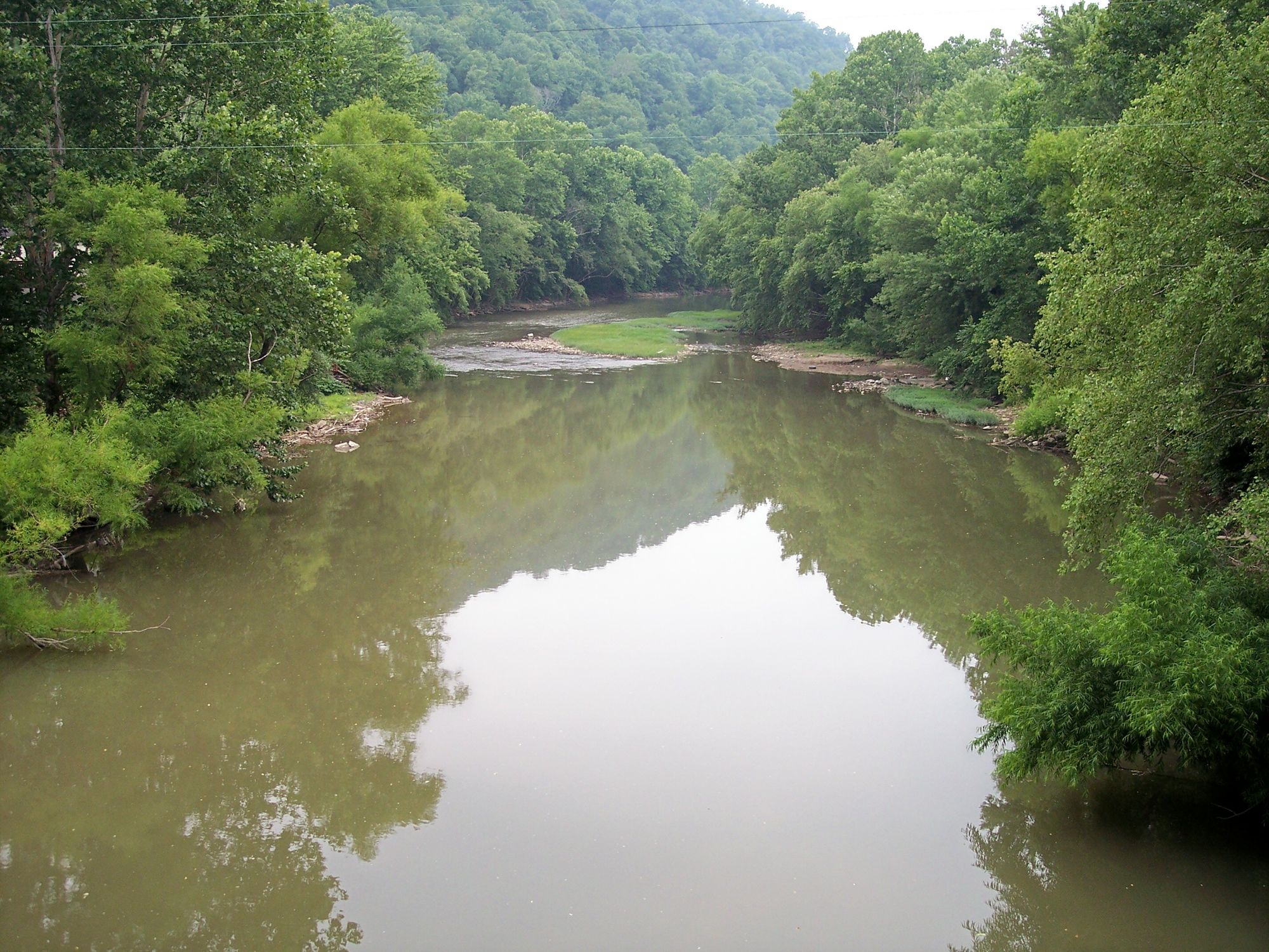
Guyandotte River
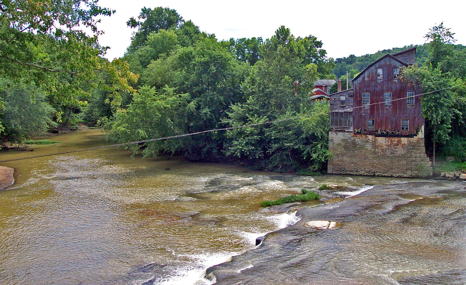
Raccoon Creek
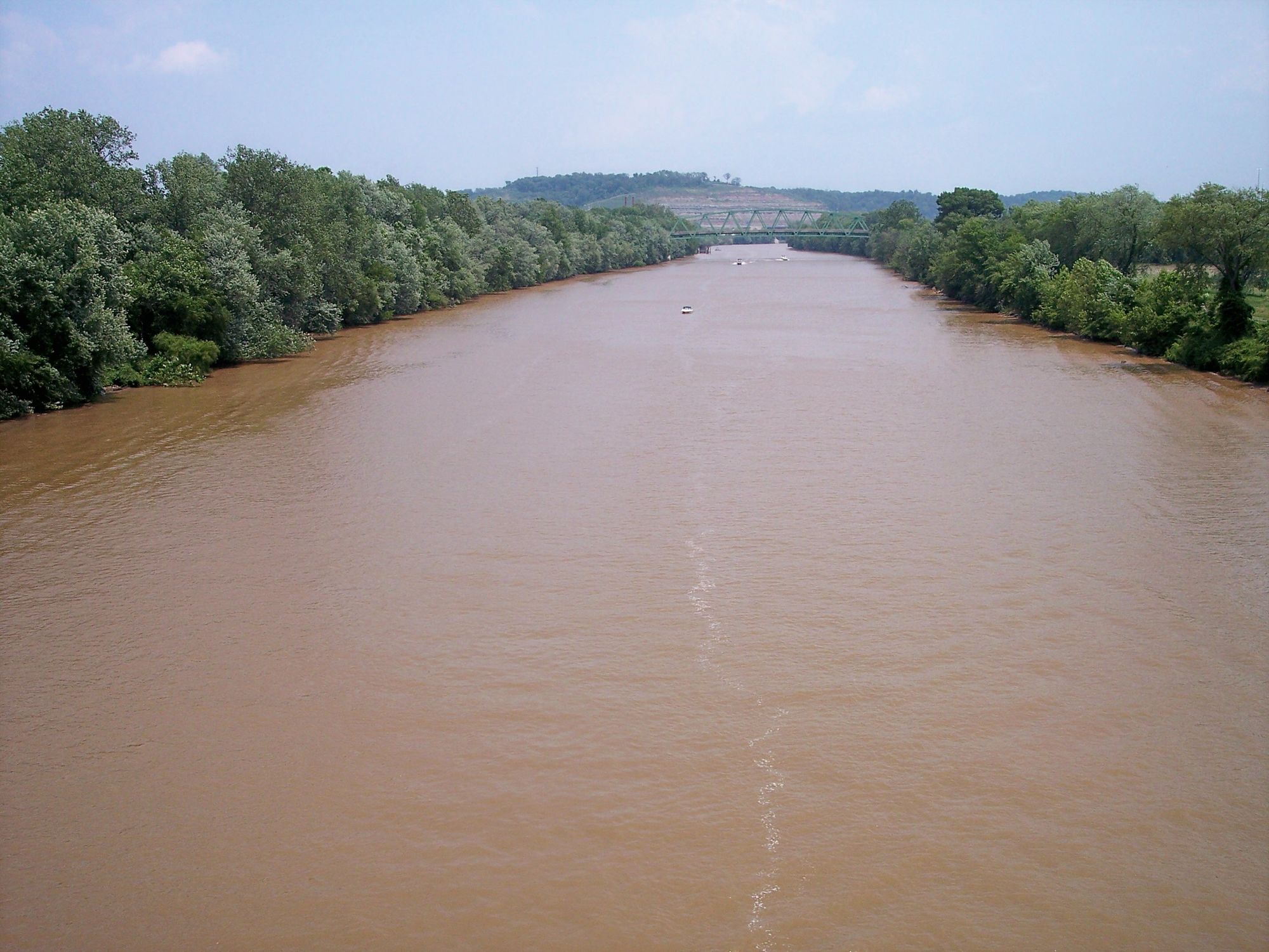
Little Kanawha River
Explore West Virginia waters
Top paddling waters
Popular Cities
Loading popular cities...
Explore near Coal River
Access points
Nearby waters
More in West Virginia

Smarter Paddling Starts in the App.
Paddleways gives you everything you need to plan smarter, paddle better, and own every trip from first launch to takeout.