Gauley River
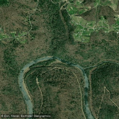
Gauley River
- Boat Ramps
- 13
- Access Points
- 21
- Campsites
- 21
The Gauley River, located in south-central West Virginia, is renowned as one of the premier whitewater destinations in the eastern United States. Flowing through the scenic Gauley River National Recreation Area, this iconic river offers a diverse range of paddling experiences across its various sections.
The river is typically divided into three main sections: Upper, Middle, and Lower Gauley. The Upper Gauley, a 9.8-mile stretch from Summersville Dam to Mason's Branch, is the most intense, featuring continuous Class V rapids that challenge even expert paddlers. Notable rapids include Insignificant and Lost Paddle, which test paddlers' skills and nerve.
The Middle Gauley provides a slightly more moderate experience with Class III-IV rapids, serving as an excellent progression for intermediate paddlers. The Lower Gauley, running 17 miles from Mason's Branch to Swiss, offers a mix of Class III-V rapids with some calmer stretches, making it suitable for strong intermediate to advanced paddlers.
Fall is the prime season for Gauley River paddling, particularly during "Gauley Season" which begins the Friday after Labor Day. During this time, scheduled releases from Summersville Dam create optimal paddling conditions, with 21,000 gallons per second transforming the river into a world-class whitewater playground. However, the river can be paddled at various levels throughout the year, with spring snowmelt often providing exciting high-water conditions.
The Gauley flows through a lush Appalachian forest ecosystem, home to diverse wildlife including black bears, white-tailed deer, and numerous bird species. The river corridor offers stunning scenery, with towering cliffs, dense forests, and occasional glimpses of historic sites like the abandoned town of Gad.
Key access points include Summersville Dam, Mason's Branch, and Swiss, with the nearby towns of Summersville and Fayetteville serving as bases for many paddlers. The river holds significant cultural importance, playing a role in the region's logging history and now serving as a vital economic driver through its renowned whitewater recreation.
Safety is paramount on the Gauley, with many rapids requiring precise maneuvering and strong paddling skills. Paddlers should be aware of potential hazards like undercut rocks and powerful hydraulics. It's highly recommended to paddle with experienced guides or local paddlers who know the river well.
For those seeking a multi-day adventure, combining the Upper and Lower Gauley sections creates an epic 26.8-mile journey known as the Full Gauley. This run, dropping more than 668 feet through a series of challenging rapids, is considered one of the best whitewater experiences in the world.
The Gauley's tributaries, including the Meadow River, offer additional paddling opportunities. The Lower Meadow, in particular, is known for its technical Class IV-V rapids and often combined with Gauley runs for extended trips.
Whether you're an adrenaline-seeking expert looking to tackle the Upper Gauley's big water or an intermediate paddler aiming to progress your skills on the Lower section, the Gauley River provides an unforgettable whitewater experience set against the backdrop of West Virginia's wild and wonderful landscape.
Water access, boat ramps & amenities
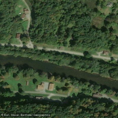
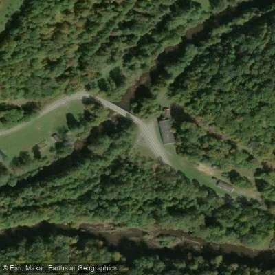
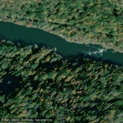
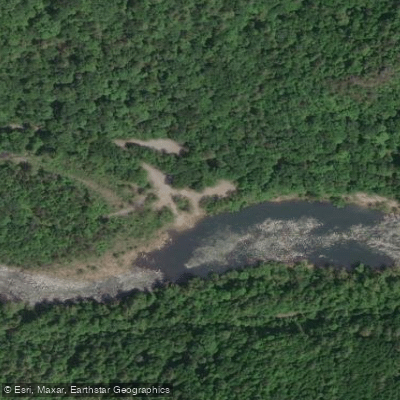
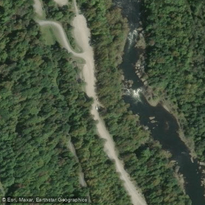
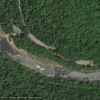
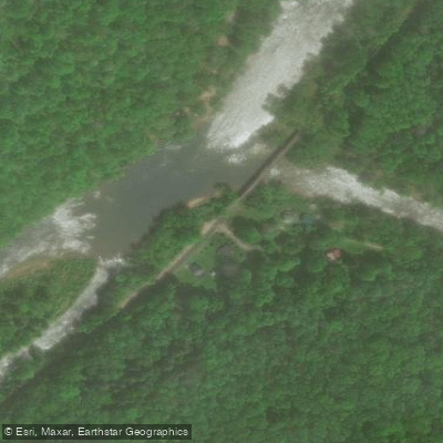
Learn how to get on Gauley River. Uncover great paddling access points, boat ramps, and all the facilities you need for an unforgettable day on the water. Some locations shown may border or include private property. Always check property boundaries and applicable regulations before visiting. PaddleWays's Public & Private Land layer can help you plan your access with confidence.
Paddle smarter with real-time insights
Whether you're en route and conditions shift or you're looking for the best spot based on current flows, we enable you to make informed decisions on the fly.








Find Places to Paddle

Over 400,000 Places to Paddle
Every user gets free access to launch points, boat ramps, and public property parcels.


Water and weather conditions (10 day forecast)
See the best times to paddle Gauley River and check the forecast before you go.
GAULEY RIVER BELOW SUMMERSVILLE DAM, WV
All Flow Stations
Paddling near Gauley River
New River
Kanawha River
Summersville Lake
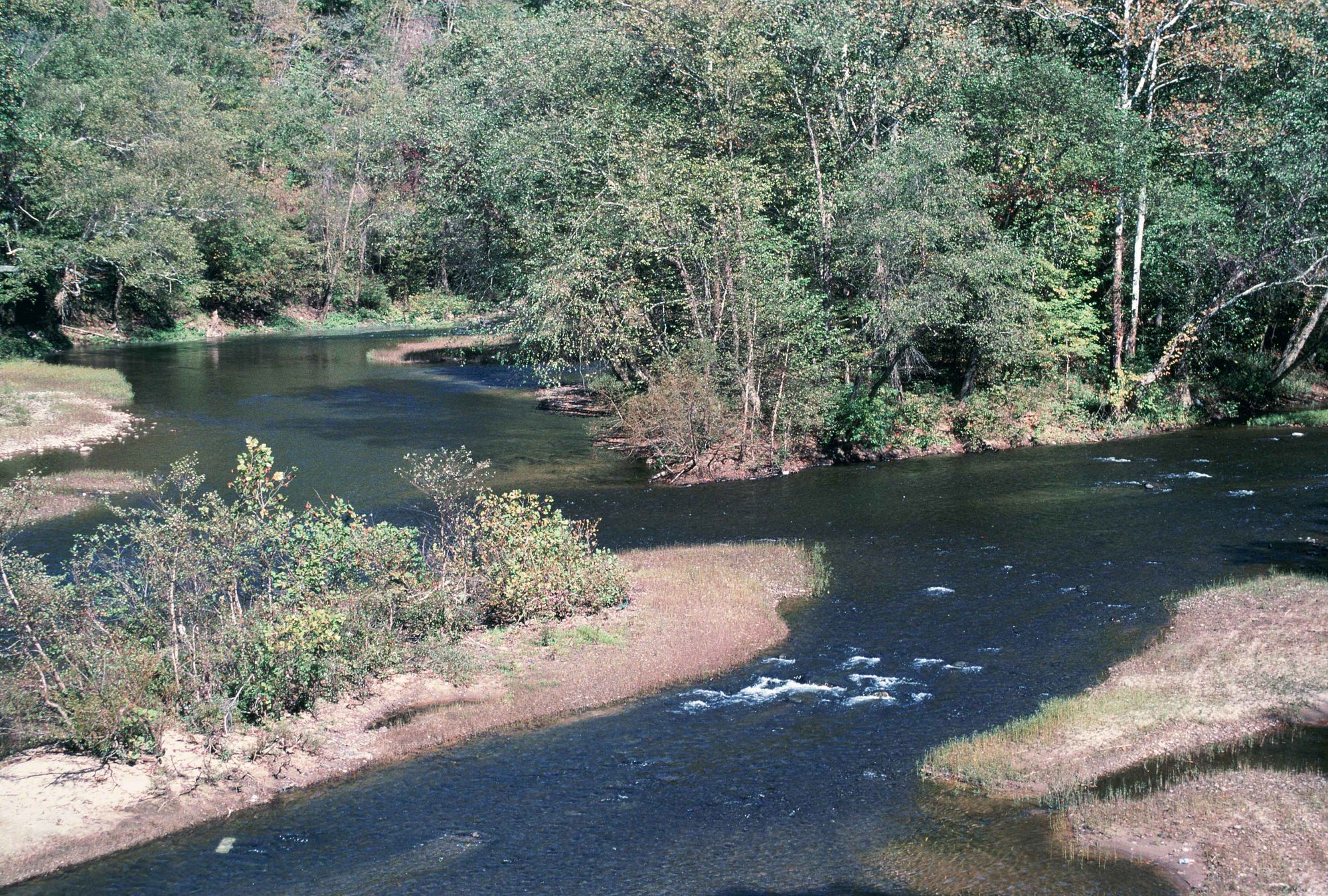
Elk River
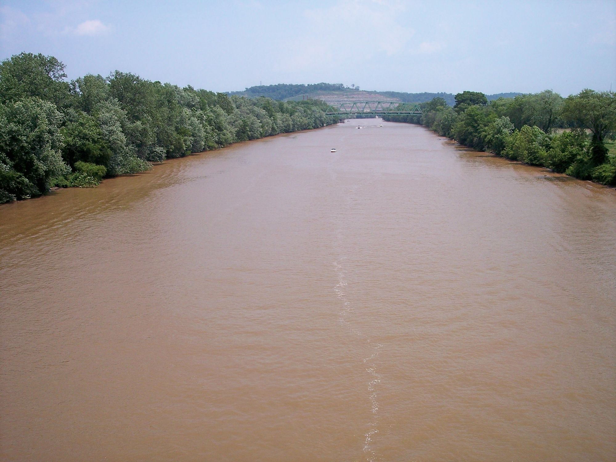
Little Kanawha River
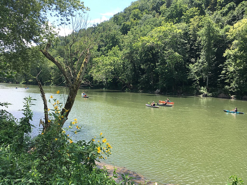
Greenbrier River
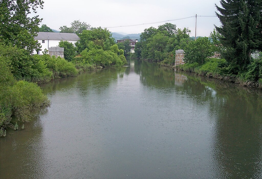
Tygart Valley River
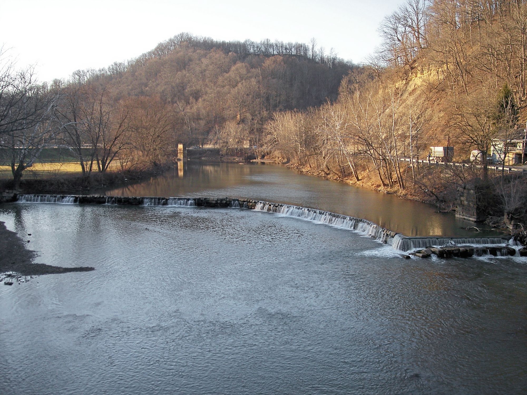
West Fork River
Meadow River
Explore West Virginia waters
Top paddling waters
Popular Cities
Loading popular cities...
Explore near Gauley River
Access points
- Upper Gauley Put-in
- Summersville Dam Boat Ramp
- Sugar Creek Take-Out Boat Ramp
- Panther Creek Boat Ramp
- Woods Ferry Boat Ramp
- Upper Gauley Mason Branch Take Out Boat Ramp
- Swiss Lower Gauley Take Out Boat Ramp
- Persinger Creek Boat Ramp
- Mouth of Cherry Boat Ramp
- Jodie Boat Ramp
- Lower Gauley Put-In
- Summersville Tailwaters Boat Ramp
- All 56 spots
Nearby waters
More in West Virginia

Smarter Paddling Starts in the App.
Paddleways gives you everything you need to plan smarter, paddle better, and own every trip from first launch to takeout.