Meadow River
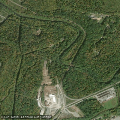
Meadow River
- Boat Ramps
- 2
- Access Points
- 5
- Campsites
- 10
The Meadow River, a scenic and challenging waterway in southern West Virginia, is a principal tributary of the Gauley River. Named for the grassy meadows wetlands that characterize its upper watershed, this approximately 125-mile long river offers paddlers a diverse range of whitewater experiences across its various sections.
The river is typically divided into three main paddling sections: Upper, Middle, and Lower Meadow. The Upper Meadow, stretching about 15 miles from East Rainelle to the Highway 19 Bridge, features Class II-IV rapids flowing through picturesque meadows. The Middle Meadow, a 6.7-mile section from Nallen to the Route 19 Bridge, offers consistent Class III-IV whitewater with an average gradient of 39 feet per mile.
The Lower Meadow, running 5-6 miles from the Route 19 Bridge to the Gauley River confluence, is renowned for its intense Class IV-V+ rapids, making it one of the most challenging whitewater runs in the eastern United States.
The Meadow River caters to a wide range of paddling skills, from intermediate kayakers and rafters on the Upper and Middle sections to expert paddlers tackling the formidable Lower Meadow. The river's difficulty increases progressively downstream, culminating in the expert-only Lower section.
Spring and fall typically offer the best paddling conditions, with reliable water levels from snowmelt and rainfall. Summer can see lower water levels, while winter paddling is possible for well-prepared experts. The river's flow can change rapidly, so checking current conditions and forecasts is crucial.
The Meadow River's ecosystem supports a variety of flora and fauna typical of Appalachian forests and rivers. Paddlers may spot diverse wildlife, including various bird species, deer, and occasionally black bears along the forested banks.
Notable features include the "Rites of Passage" rapid on the Lower Meadow, a challenging drop that sets the tone for this intense section. The river's confluence with the Gauley River at Carnifex Ferry is a significant landmark, marking the end of the Meadow and the beginning of another world-class whitewater run.
Access points include East Rainelle and Russellville for the Upper section, Nallen for the Middle section, and the Route 19 Bridge for the Lower section. The nearby towns of Summersville and Fayetteville offer amenities and serve as bases for paddlers exploring the region.
Historically, the Meadow River played a role in the timber industry and local commerce. Today, it's primarily known for its recreational value, drawing paddlers from across the country to test their skills on its rapids.
Safety is paramount on the Meadow River, especially on the Lower section. Paddlers should be aware of numerous undercut rocks throughout the river, particularly in the Middle and Lower sections. Scouting rapids is often necessary, and knowledge of swiftwater rescue techniques is highly recommended.
For those seeking a multi-day adventure, combining the Meadow River with sections of the Gauley River is a popular option. A classic trip involves paddling the Lower Meadow and continuing onto the Upper Gauley, offering about 15 miles of continuous, high-quality whitewater.
The Meadow River stands as a testament to West Virginia's reputation as a whitewater paradise, offering everything from scenic float trips to adrenaline-pumping rapids, all set against the backdrop of the beautiful Appalachian Mountains.
Water access, boat ramps & amenities
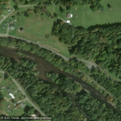
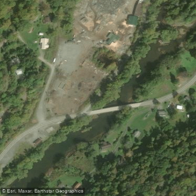
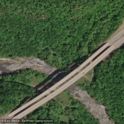
Learn how to get on Meadow River. Uncover great paddling access points, boat ramps, and all the facilities you need for an unforgettable day on the water. Some locations shown may border or include private property. Always check property boundaries and applicable regulations before visiting. PaddleWays's Public & Private Land layer can help you plan your access with confidence.
Paddle smarter with real-time insights
Whether you're en route and conditions shift or you're looking for the best spot based on current flows, we enable you to make informed decisions on the fly.








Find Places to Paddle

Over 400,000 Places to Paddle
Every user gets free access to launch points, boat ramps, and public property parcels.


Water and weather conditions (10 day forecast)
See the best times to paddle Meadow River and check the forecast before you go.
MEADOW RIVER AT NALLEN, WV
All Flow Stations
Paddling near Meadow River
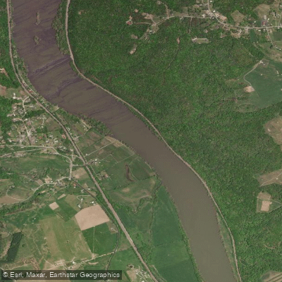
New River
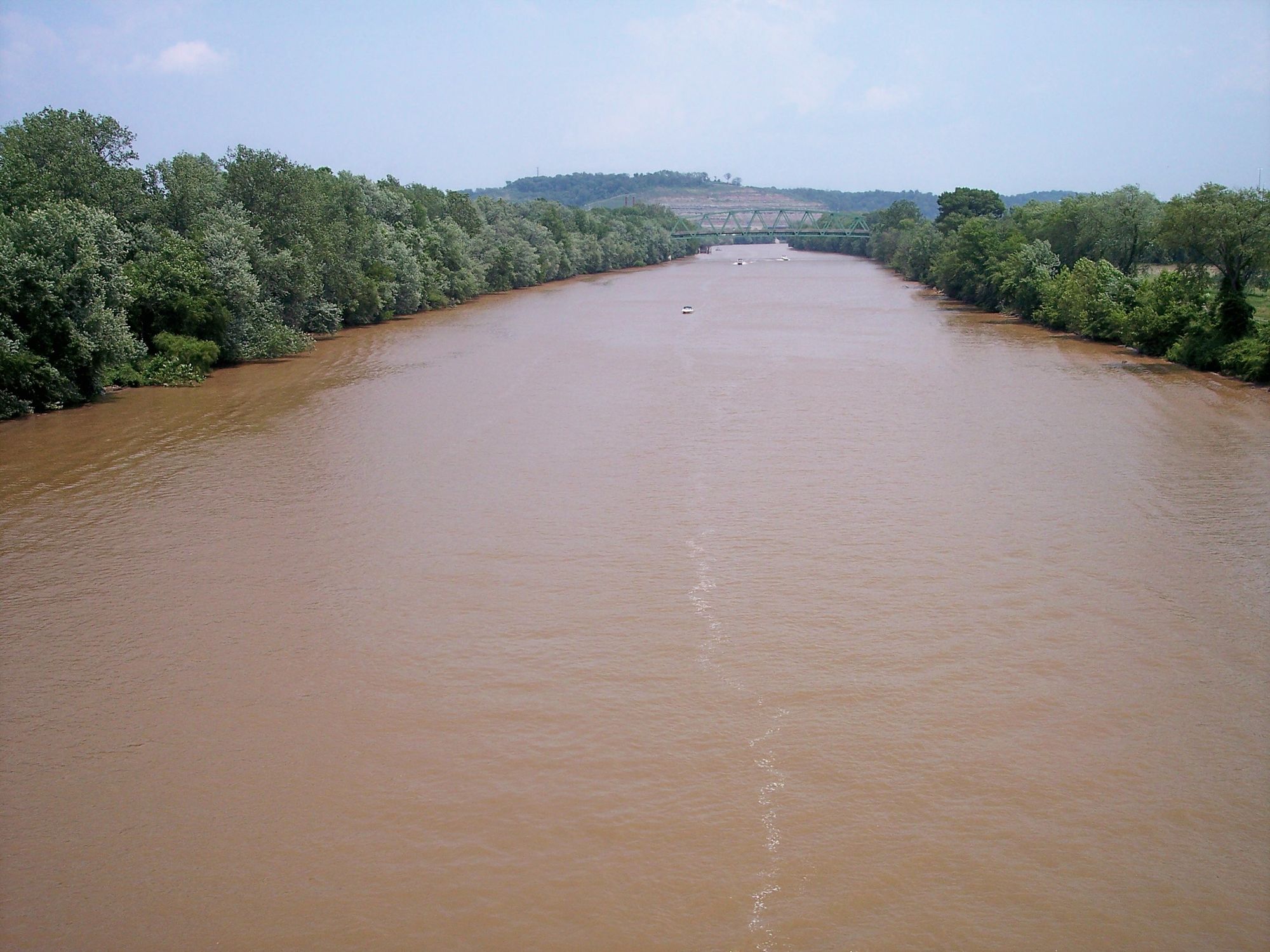
Kanawha River
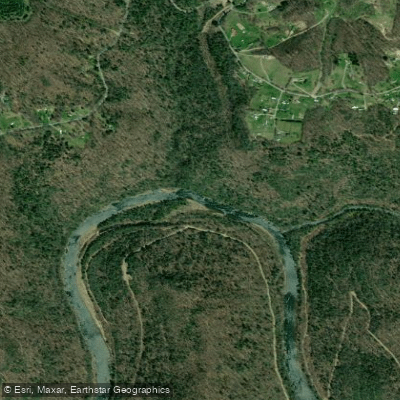
Gauley River
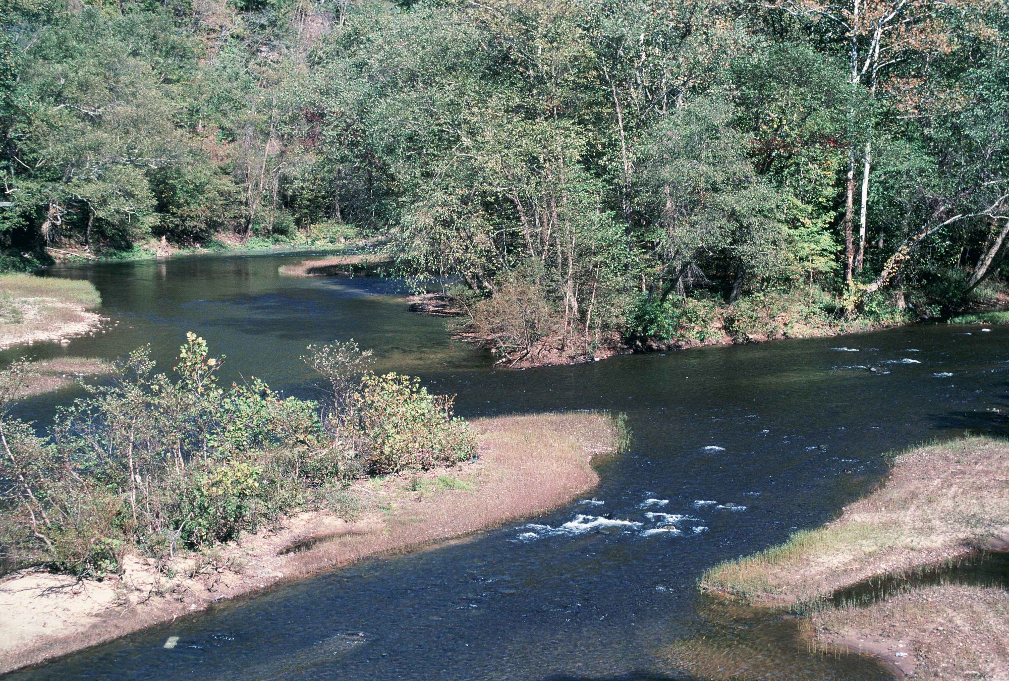
Elk River
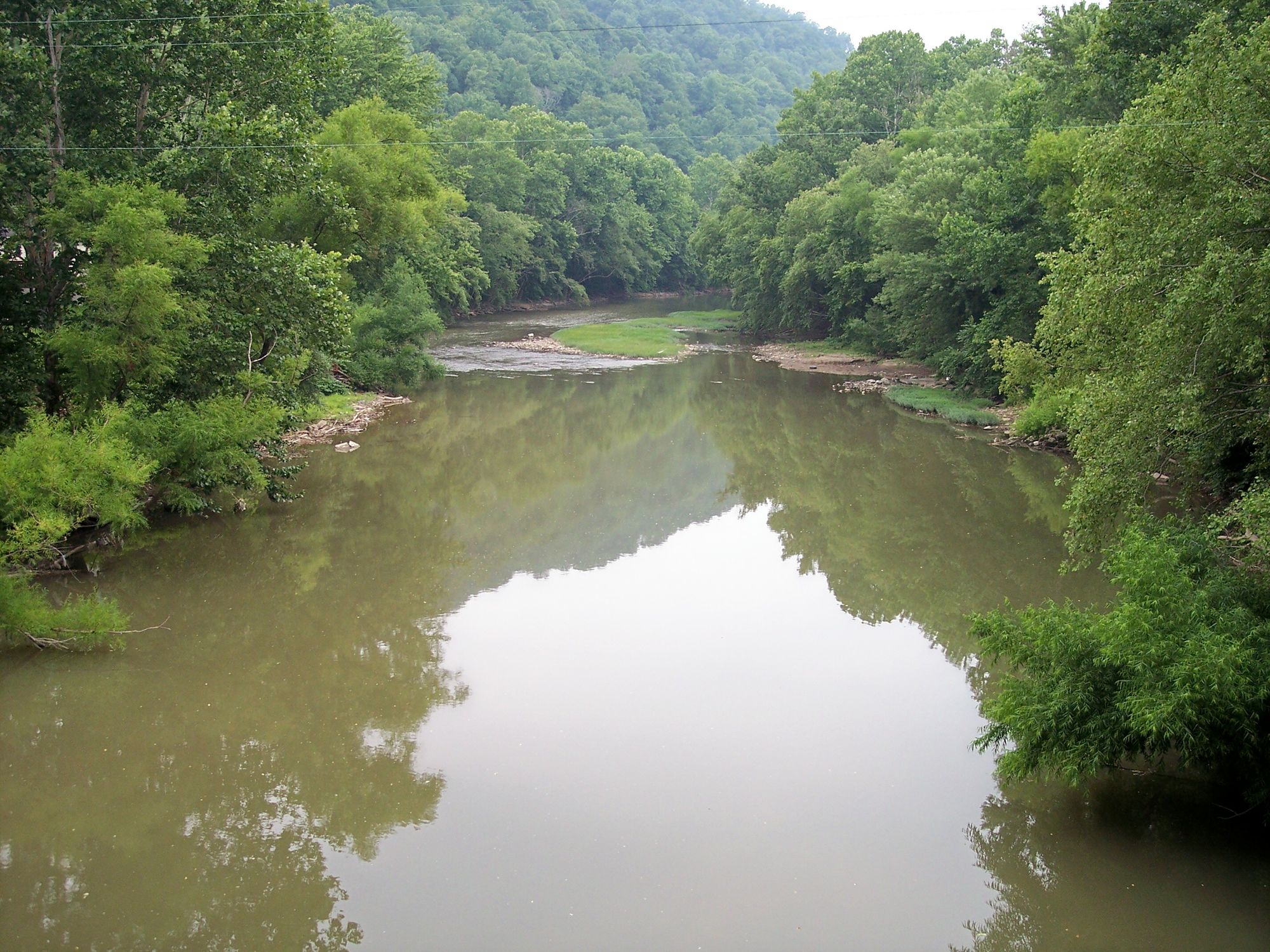
Guyandotte River
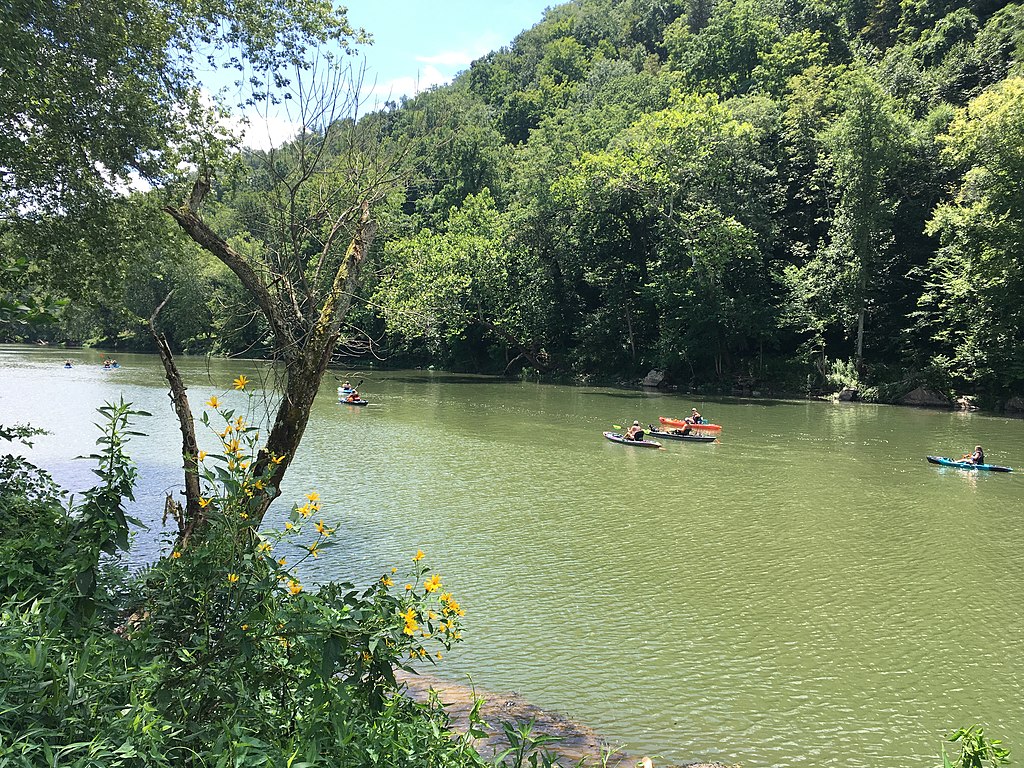
Greenbrier River
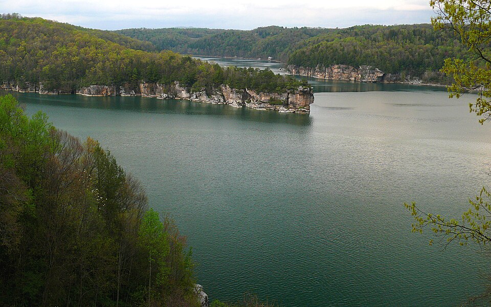
Summersville Lake
Wolf Creek
Piney Creek
Explore West Virginia waters
Top paddling waters
Popular Cities
Loading popular cities...
Explore near Meadow River
Access points
Nearby waters
More in West Virginia

Smarter Paddling Starts in the App.
Paddleways gives you everything you need to plan smarter, paddle better, and own every trip from first launch to takeout.