Petenwell Lake
Petenwell Lake
- Boat Ramps
- 12
- Access Points
- 13
- Campsites
- 4
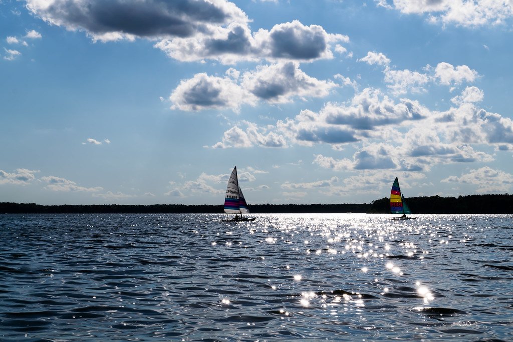
Petenwell Lake is Wisconsin's second largest inland lake at 23,040 acres, created in 1948 by damming the Wisconsin River. The lake is 14 miles long and 2 miles wide, with a maximum depth of 42 feet. Paddlers should be aware that Petenwell's large size can create challenging conditions, with potentially rough waves and strong winds, especially in the afternoon. Mornings typically offer calmer waters. The lake's expansive open water areas require careful planning and awareness of weather conditions.
Several public boat launches provide access, including the 3rd Street launch on the northwest side. The lake features diverse paddling environments, from protected sloughs and backwaters to wide open stretches. An archipelago of islands in the northeast offers interesting exploration opportunities. The northwest shore is notable for impressive sandbanks, with Yellow Banks and a large sandbank near 25th Avenue being highlights.
Wildlife sightings may include bald eagles, great blue herons, and various fish species. The lake supports walleye, northern pike, bass, and panfish. Water quality can be affected by algae blooms in summer. Petenwell's shoreline is largely undeveloped, providing a natural setting, though some areas have homes and piers.
For a scenic day trip, paddlers might consider a 9-mile one-way route from Plank Hill Small Boat Access to Longview Point Access, passing seven sandbanks. The lake offers opportunities for fishing, swimming, and camping at several parks along the shore. Paddlers should be mindful of motorboat traffic, especially on weekends and holidays.
Water access, boat ramps & amenities
Learn how to get on Petenwell Lake. Uncover great paddling access points, boat ramps, and all the facilities you need for an unforgettable day on the water. Some locations shown may border or include private property. Always check property boundaries and applicable regulations before visiting. PaddleWays's Public & Private Land layer can help you plan your access with confidence.
Paddle smarter with real-time insights
Whether you're en route and conditions shift or you're looking for the best spot based on current flows, we enable you to make informed decisions on the fly.








Find Places to Paddle

Over 400,000 Places to Paddle
Every user gets free access to launch points, boat ramps, and public property parcels.


Water and weather conditions (10 day forecast)
See the best times to paddle Petenwell Lake and check the forecast before you go.
No forecast data available.
Paddling near Petenwell Lake
Wisconsin River
Castle Rock Lake
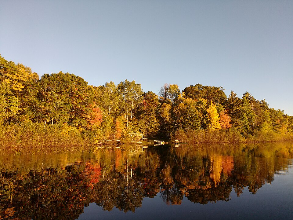
Silver Lake
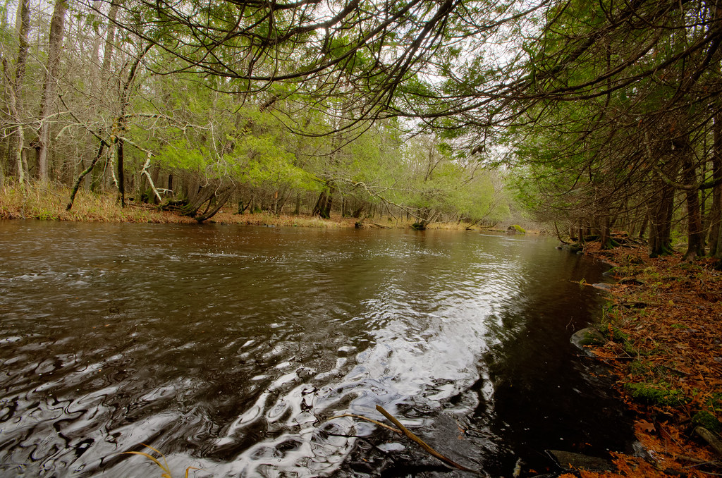
Wolf River
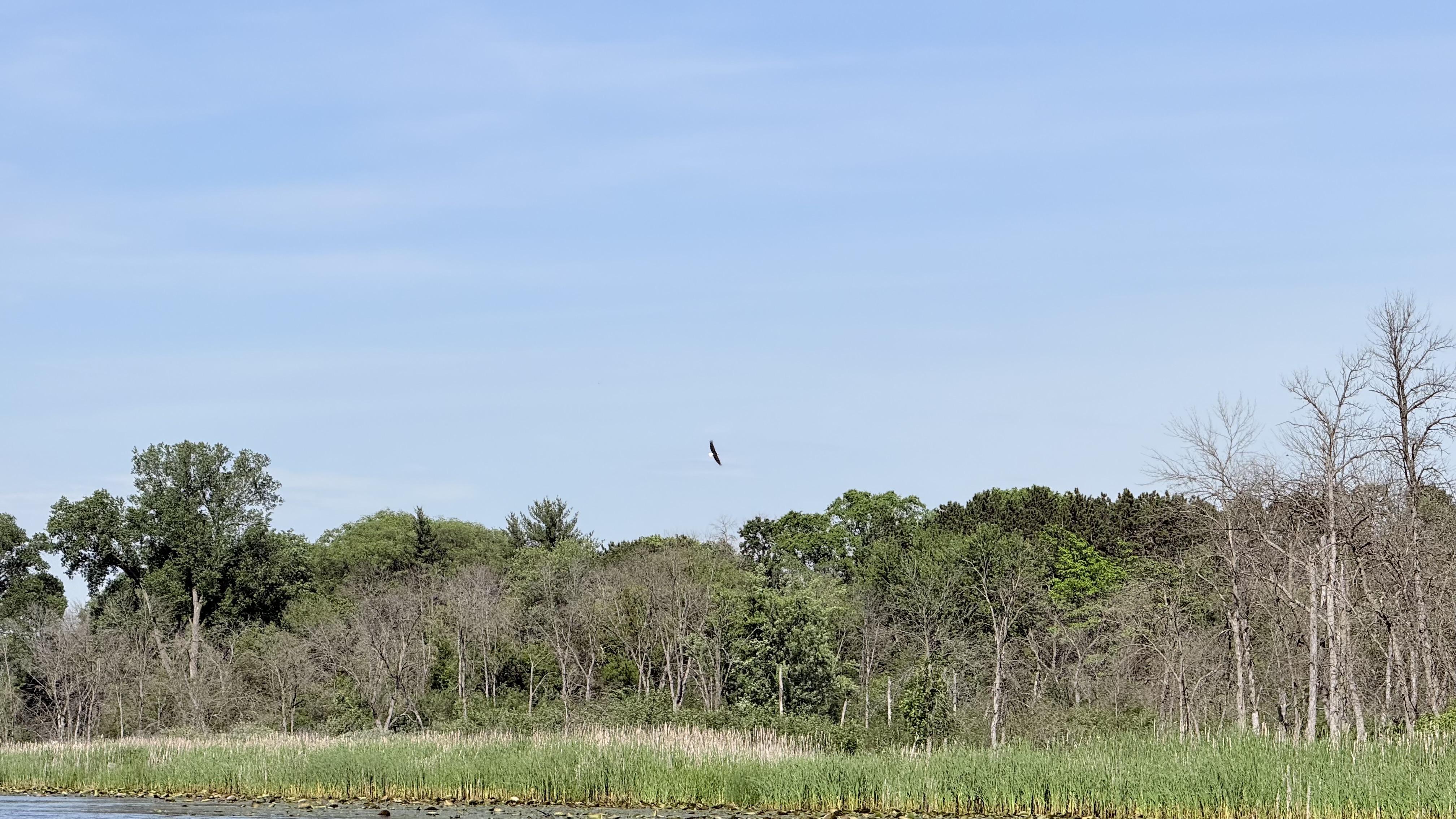
Fox River
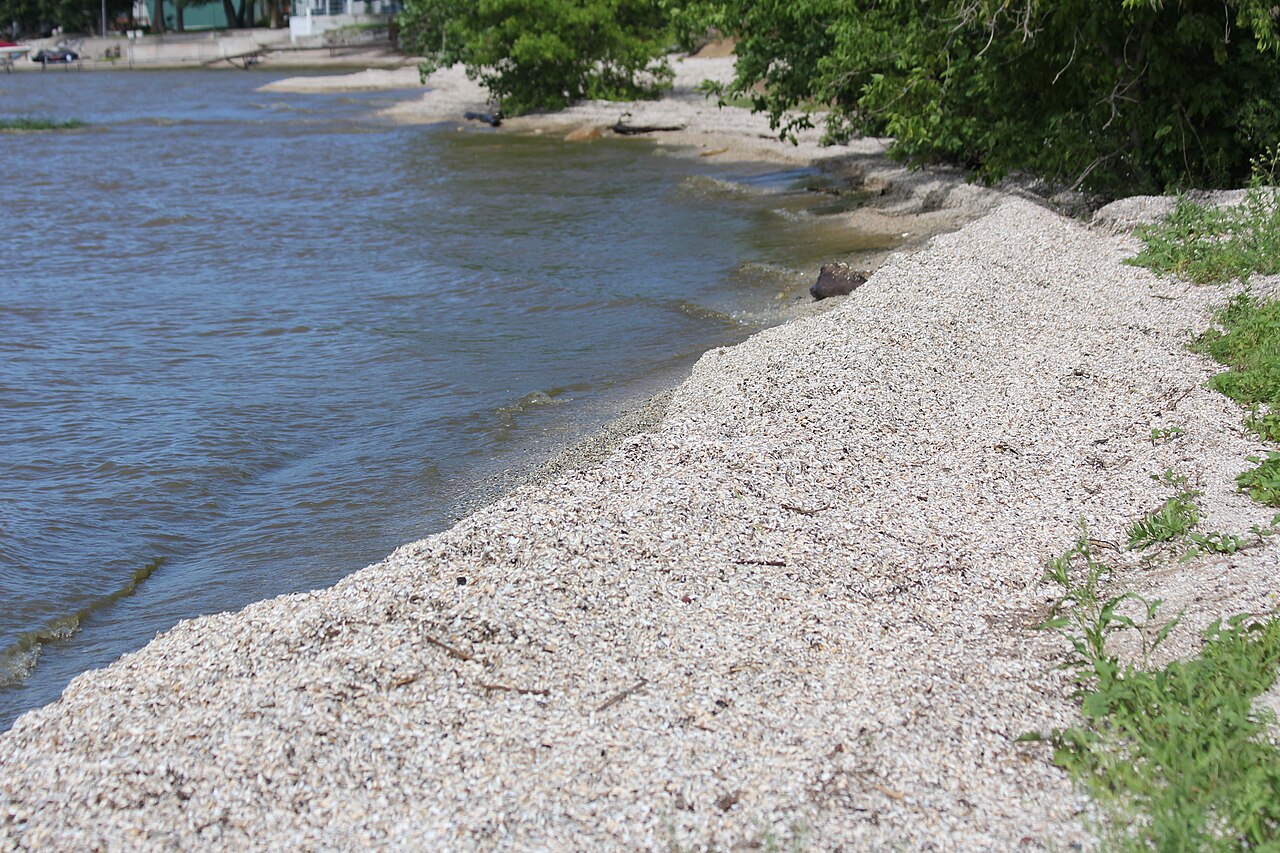
Red River
McDill Pond
Wisconsin River Flowage
Lake Dubay 4890
Jordan Pond
Explore Wisconsin waters
Top paddling waters
Popular Cities
Loading popular cities...
Explore near Petenwell Lake
Access points
- Devils Elbow Boat Ramp
- Barnum Bay Boat Ramp
- Petenwell Wilderness Park Boat Ramp
- Petenwell Lake Fourteen Mile Creek Boat Ramp
- Petenwell Flowage Boat Ramp
- Chester Creek Boat Ramp
- Petenwell Flowage Boat Ramp
- Petenwell County Park Boat Ramp
- Town of Monroe Park Boat Ramp
- Van Kuren Landing Boat Ramp
- Petenwell Park Boat Ramp
- Armenia Landing Boat Ramp
- All 17 spots
Nearby waters
More in Wisconsin

Smarter Paddling Starts in the App.
Paddleways gives you everything you need to plan smarter, paddle better, and own every trip from first launch to takeout.