Lake Mendota
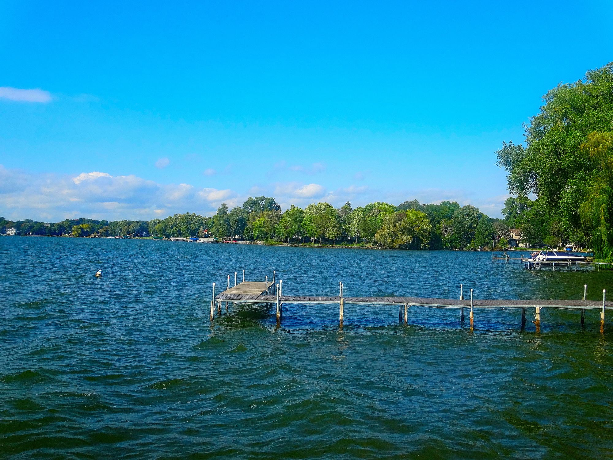
Lake Mendota
- Boat Ramps
- 14
- Access Points
- 15
- Campsites
- 1
Lake Mendota, the largest of Madison's four lakes, offers diverse paddling experiences for canoeists and kayakers. The lake features several access points, including Marshall Boats on the north shore, which provides rentals and guided excursions. Popular destinations include UW-Madison's Picnic Point, the Governor's Mansion, and Middleton's Pheasant Branch Nature Preserve.
Governor's Island, a tear-drop shaped peninsula on the north shore, is a notable paddling destination. In winter, its sandstone cliffs form stunning ice formations reminiscent of miniature Lake Superior ice caves. The area around Governor's Island also includes a wetland cove popular for overnight stays among sailboaters.
Wildlife sightings may include tundra swans, Canada geese, coots, and various duck species. The lake is particularly picturesque during snowfall, offering a unique juxtaposition of open water and snowy landscapes.
Paddlers should be aware that conditions can change rapidly, especially in winter when areas of open water can become slushy within hours. The lake can experience 1-2 foot waves on windy days. Access roads like Cinder Lane leading to Governor's Island can be steep and challenging in snowy conditions.
Lake Mendota has significant historical importance. Recent archaeological discoveries have identified up to 11 ancient canoes submerged in a stretch of former shoreline, with the oldest dating back approximately 4,500 years. This suggests the presence of a submerged Native American habitation site, offering insights into the area's rich cultural heritage.
Rental options include canoes, single and tandem kayaks, paddle boats, and stand-up paddleboards. All boat rentals must be returned by 8 p.m. Paddling activities are weather-dependent, and outfitters may cancel rentals due to safety concerns.
Water access, boat ramps & amenities
Learn how to get on Lake Mendota. Uncover great paddling access points, boat ramps, and all the facilities you need for an unforgettable day on the water. Some locations shown may border or include private property. Always check property boundaries and applicable regulations before visiting. PaddleWays's Public & Private Land layer can help you plan your access with confidence.
Paddle smarter with real-time insights
Whether you're en route and conditions shift or you're looking for the best spot based on current flows, we enable you to make informed decisions on the fly.








Find Places to Paddle

Over 400,000 Places to Paddle
Every user gets free access to launch points, boat ramps, and public property parcels.


Water and weather conditions (10 day forecast)
See the best times to paddle Lake Mendota and check the forecast before you go.
SPRING HARBOR STORM SEWER AT MADISON, WI
All Flow Stations
Paddling near Lake Mendota
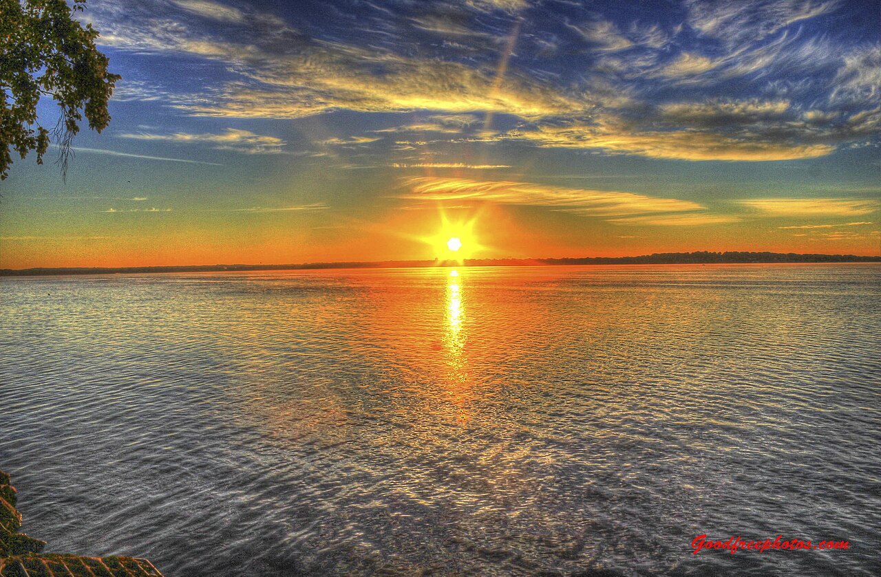
Lake Monona
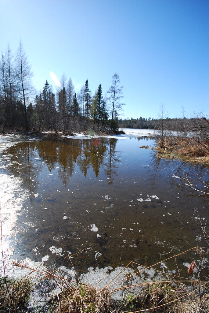
Lake Wisconsin
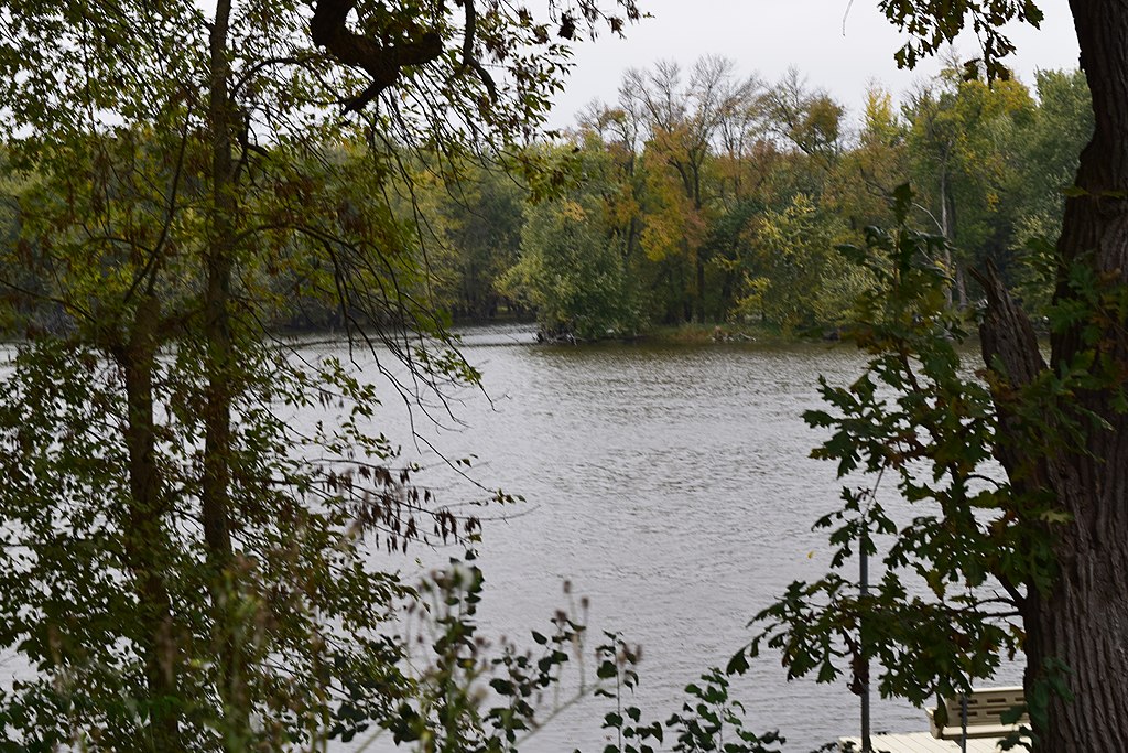
Yahara River
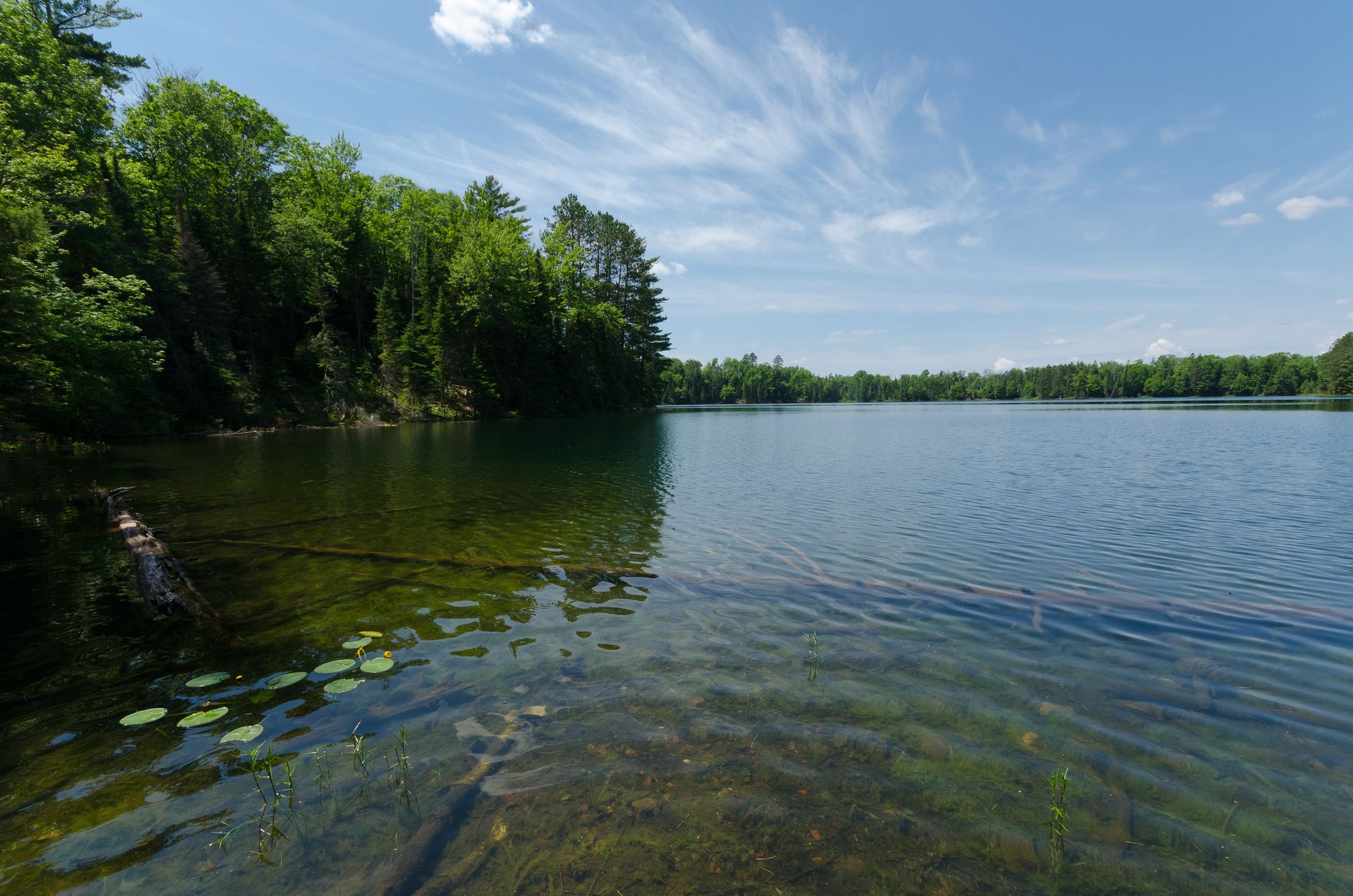
Rock Lake
Wisconsin River

Rock River
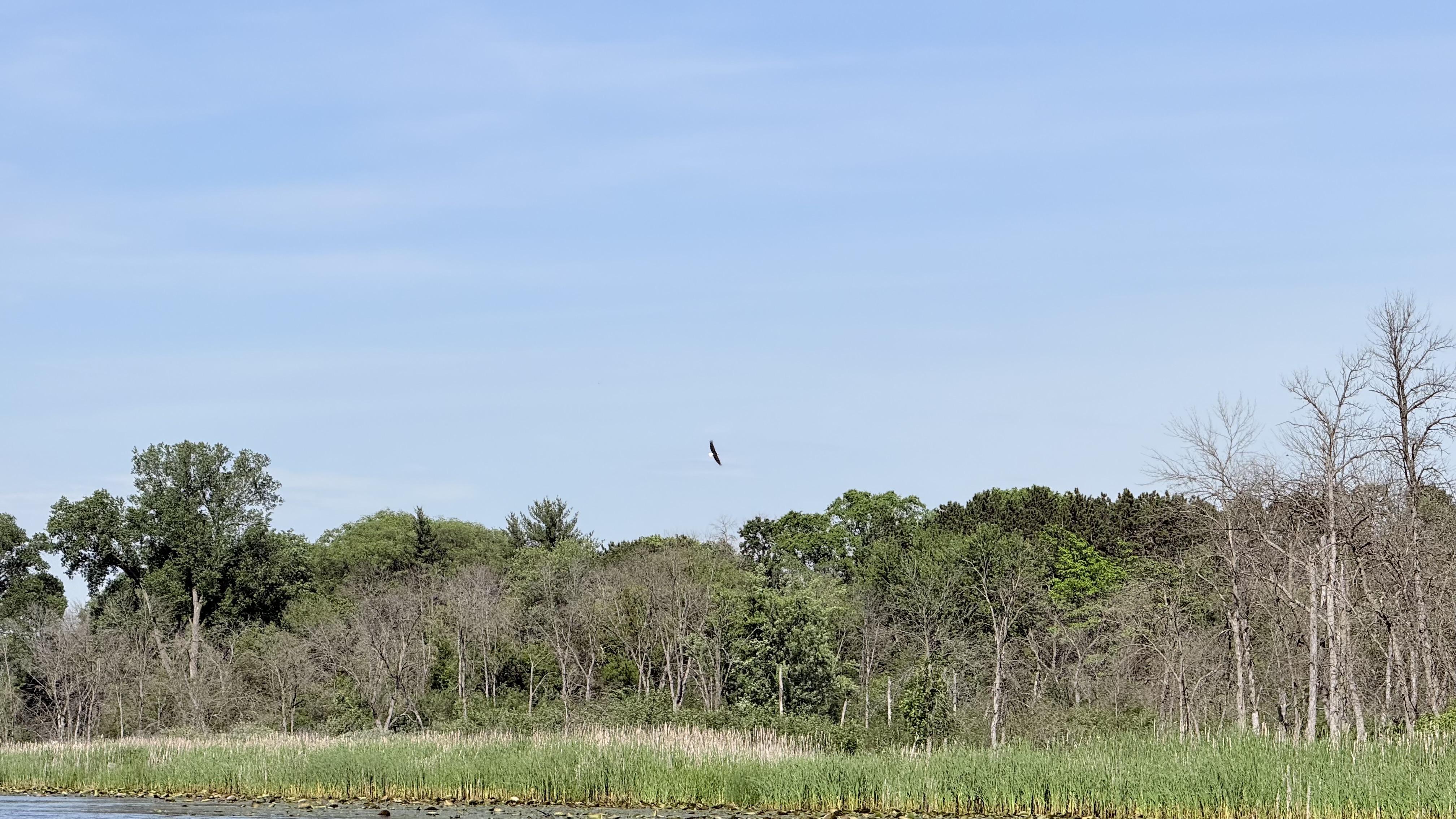
Fox River
Baraboo River
Bark River
Explore Wisconsin waters
Top paddling waters
Popular Cities
Loading popular cities...
Explore near Lake Mendota
Access points
- North Lake Street Boat Ramp
- Lake Street Boat Ramp
- Governors Island
- Governor Nelson State Park Boat Landing
- Willow Drive Boat Launch
- Mendota County Park Boat Launch
- Marshall Park Boat Ramp
- Middleton Boat Ramp
- Veith Avenue Carry-in Access
- Warner Park Boat Ramp
- Governor Nelson State Park Boat Ramp
- Spring Harbor Park Boat Ramp
- All 20 spots
Nearby waters
More in Wisconsin

Smarter Paddling Starts in the App.
Paddleways gives you everything you need to plan smarter, paddle better, and own every trip from first launch to takeout.