Lake Winnebago
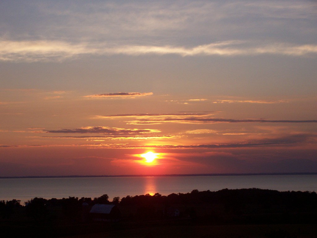
Lake Winnebago
- Boat Ramps
- 16
- Access Points
- 20
- Campsites
- 7
Lake Winnebago, Wisconsin's largest inland lake, offers paddlers a vast 137,700-acre expanse to explore. With a maximum depth of 21 feet, the lake provides ample room for kayaking and other paddling activities. Popular access points include Jefferson Park in Menasha and Lakeside Park in Fond du Lac. Paddlers should be aware that Lake Winnebago is not a controlled body of water and lacks lifeguards, so personal safety precautions are essential.
The lake is known for its clear, blue waters surrounded by lush green trees. Wildlife sightings may include bald eagles, herons, and loons. Historic lighthouses dot the shoreline, adding charm to the picturesque landscape. Water temperatures typically range from 60-80°F in summer, with colder temperatures possible in deeper areas.
Paddlers can enjoy various routes, including an 80-mile trip around the lake's perimeter for more experienced kayakers. The Fox River to Menasha Locks route offers a unique experience, allowing paddlers to pass through downtown Appleton and Neenah. This route includes traversing locks, where paddlers can watch water levels change as they pass through.
Safety is paramount when paddling Lake Winnebago. Always wear a life jacket, bring a whistle or signaling device, and be aware of other watercraft, especially motorized boats. Check weather forecasts and wave conditions before heading out, as windy days can create choppy waters. Avoid paddling alone and stay within designated areas, steering clear of swim zones marked by buoys.
Several parks around the lake offer amenities for paddlers, including High Cliff State Park and Calumet County Park. These areas provide launch points, picnic facilities, and opportunities to explore the Niagara Escarpment, a significant geological feature overlooking the lake.
Water access, boat ramps & amenities
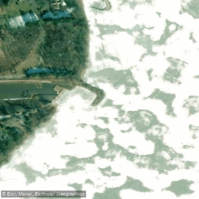
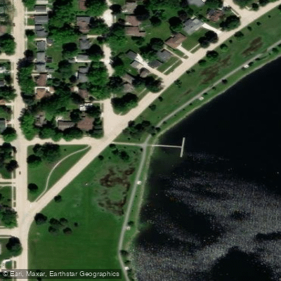
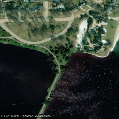
Learn how to get on Lake Winnebago. Uncover great paddling access points, boat ramps, and all the facilities you need for an unforgettable day on the water. Some locations shown may border or include private property. Always check property boundaries and applicable regulations before visiting. PaddleWays's Public & Private Land layer can help you plan your access with confidence.
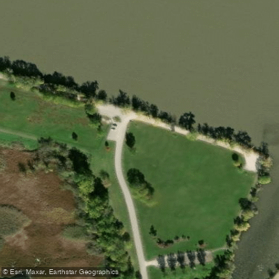
Paddle smarter with real-time insights
Whether you're en route and conditions shift or you're looking for the best spot based on current flows, we enable you to make informed decisions on the fly.








Find Places to Paddle

Over 400,000 Places to Paddle
Every user gets free access to launch points, boat ramps, and public property parcels.


Water and weather conditions (10 day forecast)
See the best times to paddle Lake Winnebago and check the forecast before you go.
LAKE WINNEBAGO NEAR STOCKBRIDGE, WI
All Flow Stations
Paddling near Lake Winnebago
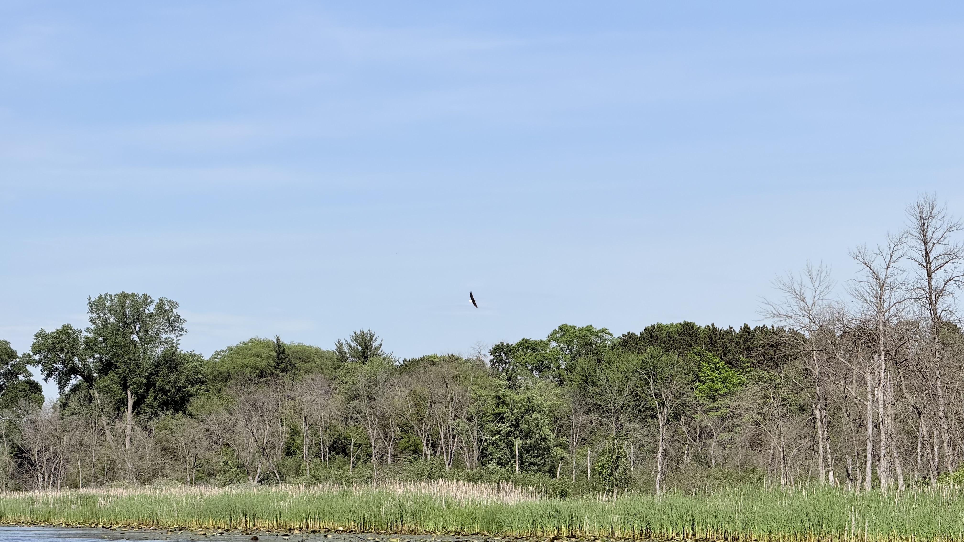
Fox River
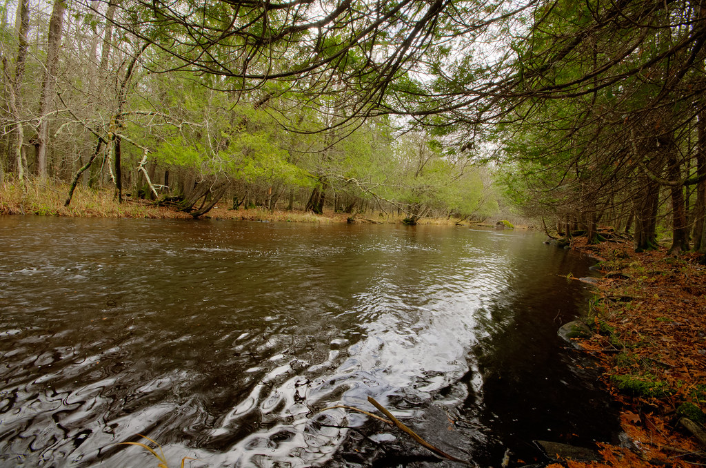
Wolf River
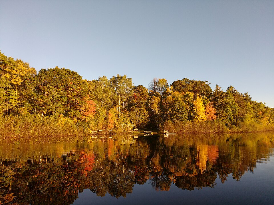
Silver Lake

Lake Michigan
Sheboygan River

Rock River
Milwaukee River
Lake Butte des Morts
Lake Poygan
Explore Wisconsin waters
Top paddling waters
Popular Cities
Loading popular cities...
Explore near Lake Winnebago
Access points
- Fishermans Park Boat Ramp
- Ecker Lakeland Road Boat Ramp
- Recreation Park Boat Ramp
- 24th Avenue Boat Ramp
- Nagy Park Black Wolf Boat Ramp
- Calumet County Park Boat Ramp
- Lake Winnebago Boat Ramp
- Grundman Park Boat Ramp
- Brothertown Harbor Boat Ramp
- Menominee Park Boat Ramp
- Doemel Point Boat Ramp
- Mill Street Boat Ramp
- All 28 spots
Nearby waters
More in Wisconsin

Smarter Paddling Starts in the App.
Paddleways gives you everything you need to plan smarter, paddle better, and own every trip from first launch to takeout.