Highway 78 Landing Boat Ramp
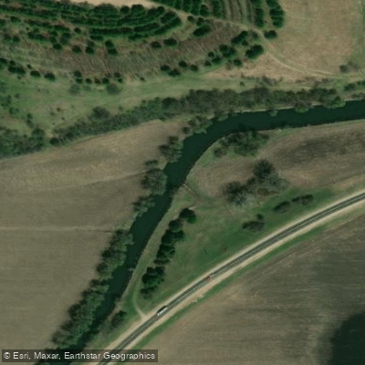
Highway 78 Landing Boat Ramp
Hwy 78 Landing provides access to the East Branch of the Pecatonica River with a well-used trail leading from the road shoulder to the water on the south end of the bridge, making launching convenient for kayakers.
The north end has a poor access due to a large embankment, so use the south end and respect private property by staying near the USGS station and inside the fence.
A USGS webcam at this location allows paddlers to monitor water levels and river conditions before trips.
Nearby points of interest
Find excellent paddling spots, easy access to boat ramps, and all the amenities you need for a memorable day. Your adventure starts here.
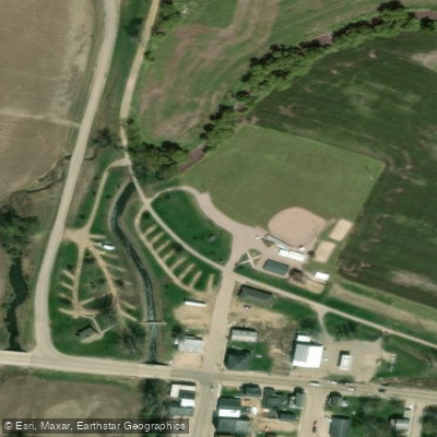
Water and weather conditions (10 day forecast)
Check the forecast at Highway 78 Landing Boat Ramp before you go paddling.
No forecast data available.
Paddling near Highway 78 Landing Boat Ramp

Rock River

Mississippi River
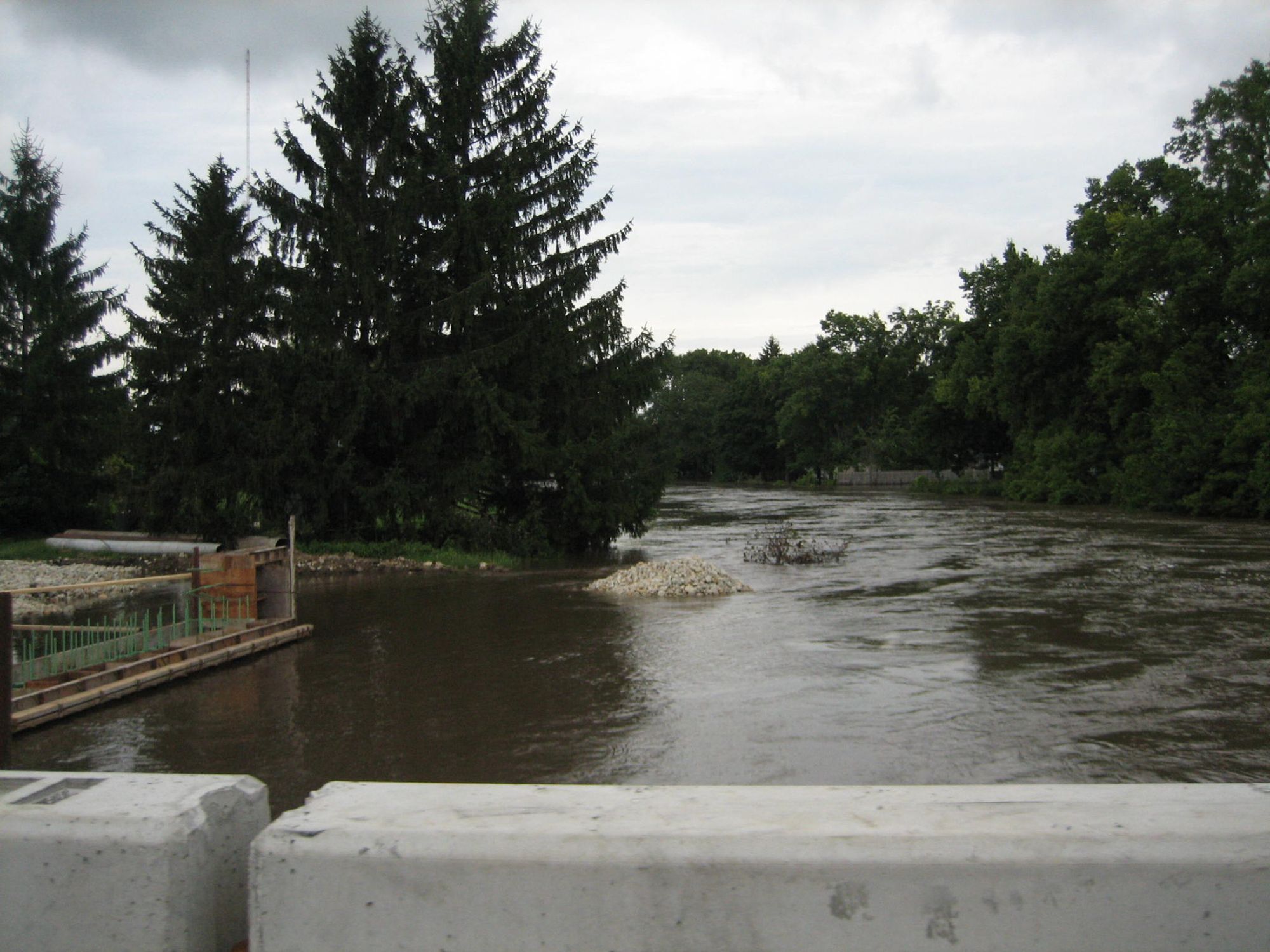
Kishwaukee River
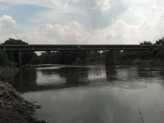
Maquoketa River
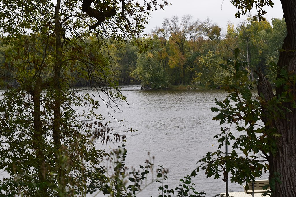
Yahara River
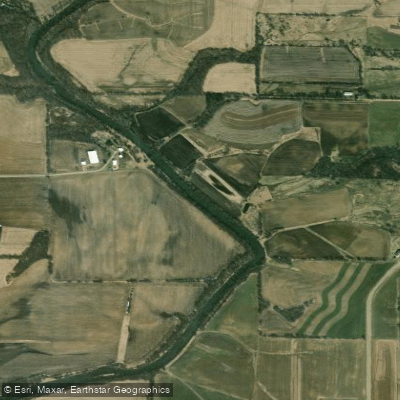
Pecatonica River
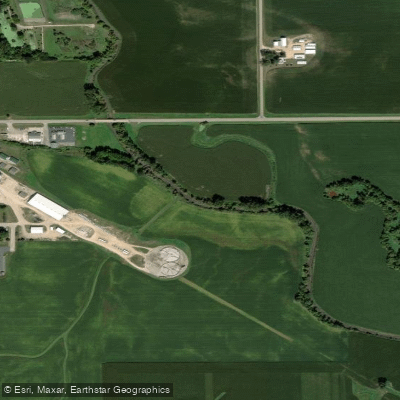
Yellow Creek
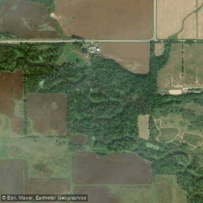
Sugar River
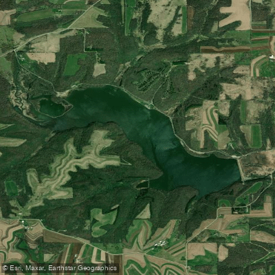
Yellowstone Lake
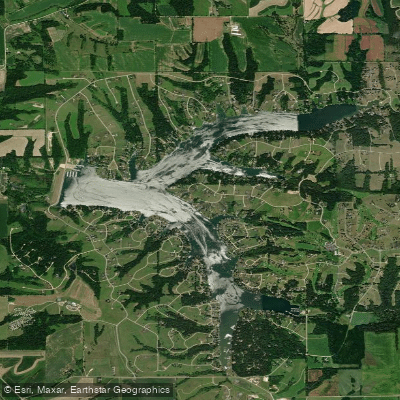
Lake Carroll
Wisconsin licenses and regulations
Explore Wisconsin waters
Top paddling waters
No waters available right now.
Popular Cities
Loading popular cities...
Explore near Highway 78 Landing Boat Ramp
Nearby spots
Nearby waters
More in Wisconsin

Smarter Paddling Starts in the App.
Paddleways gives you everything you need to plan smarter, paddle better, and own every trip from first launch to takeout.