Sugar River
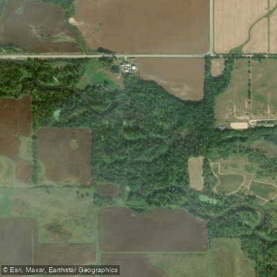
Sugar River
- Boat Ramps
- 6
- Access Points
- 8
- Campsites
- 4
The Sugar River is a picturesque waterway that flows through southern Wisconsin and northern Illinois, originating near Madison, Wisconsin and traveling southward to join the Pecatonica River near Shirland, Illinois. This 91-mile long river drains a watershed of approximately 1,150 square miles, with major tributaries including the West Branch and Little Sugar River.
Paddlers will find a variety of experiences along the Sugar River, from placid flatwater stretches ideal for beginners to more challenging sections with riffles and tight turns. The upper reaches near Verona and Paoli offer scenic, easy paddling through rural landscapes. As the river progresses southward, it becomes wider and slower, with some impounded areas near Belleville and Albany.
Most of the Sugar River is suitable for canoes and kayaks, with difficulty ranging from flatwater to Class I-II rapids. Novice paddlers can enjoy many sections, while more experienced paddlers will find enjoyment in navigating the river's twists and occasional swift water, especially after rain events.
Spring and early summer typically offer the best water levels for paddling, though the river is often navigable into fall. Late summer can see low water conditions in some stretches.
Wildlife viewing opportunities abound, with chances to spot herons, eagles, turtles, and a variety of fish species.
Notable landmarks include the Sugar River State Trail, which follows the river's course, and several historic covered bridges. The charming town of New Glarus, known for its Swiss heritage, is a popular stop near the river's upper stretches. Further downstream, paddlers can explore the Albany Wildlife Area.
Key access points include Falk Wells Sugar River Wildlife Area near Verona, Paoli Park, Belleville Community Park, and Albany Boat Ramp. The river concludes its journey at Two Rivers Forest Preserve in Illinois, offering a long day trip or potential overnight adventure for those paddling from Wisconsin.
The Sugar River holds cultural significance as a historic transportation route and for its role in powering early mills. Today, it's valued for recreation and as an important ecological corridor.
Paddlers should be aware of occasional low-head dams, particularly in Brodhead and Albany, which require portaging. As with all river trips, checking current conditions and water levels is essential for a safe and enjoyable experience.
For those seeking a multi-day adventure, the full length of the Sugar River from Verona to its confluence with the Pecatonica can be paddled in 3-4 days, with several campgrounds and parks along the route providing overnight options.
Water access, boat ramps & amenities
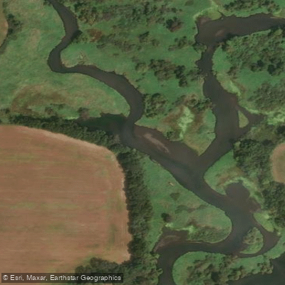
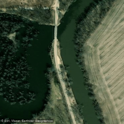
Learn how to get on Sugar River. Uncover great paddling access points, boat ramps, and all the facilities you need for an unforgettable day on the water. Some locations shown may border or include private property. Always check property boundaries and applicable regulations before visiting. PaddleWays's Public & Private Land layer can help you plan your access with confidence.
Paddle smarter with real-time insights
Whether you're en route and conditions shift or you're looking for the best spot based on current flows, we enable you to make informed decisions on the fly.








Find Places to Paddle

Over 400,000 Places to Paddle
Every user gets free access to launch points, boat ramps, and public property parcels.


Water and weather conditions (10 day forecast)
See the best times to paddle Sugar River and check the forecast before you go.
SUGAR RIVER NEAR BRODHEAD, WI
All Flow Stations
Paddling near Sugar River
Lake Monona
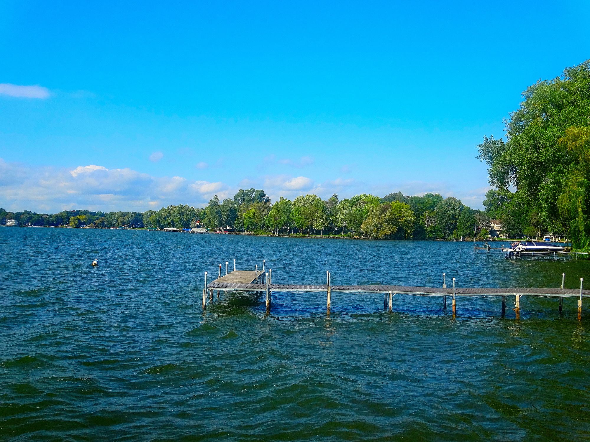
Lake Mendota
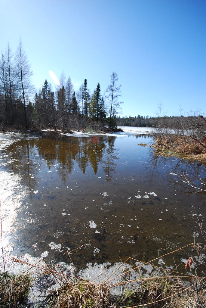
Lake Wisconsin

Rock River
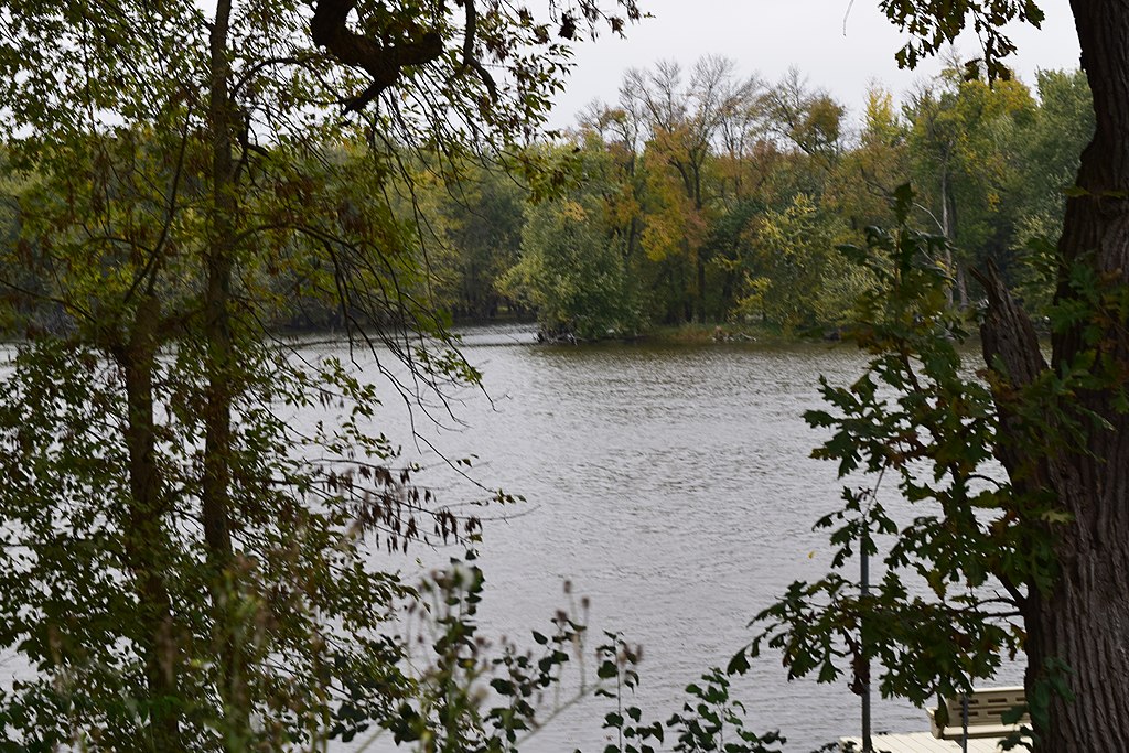
Yahara River
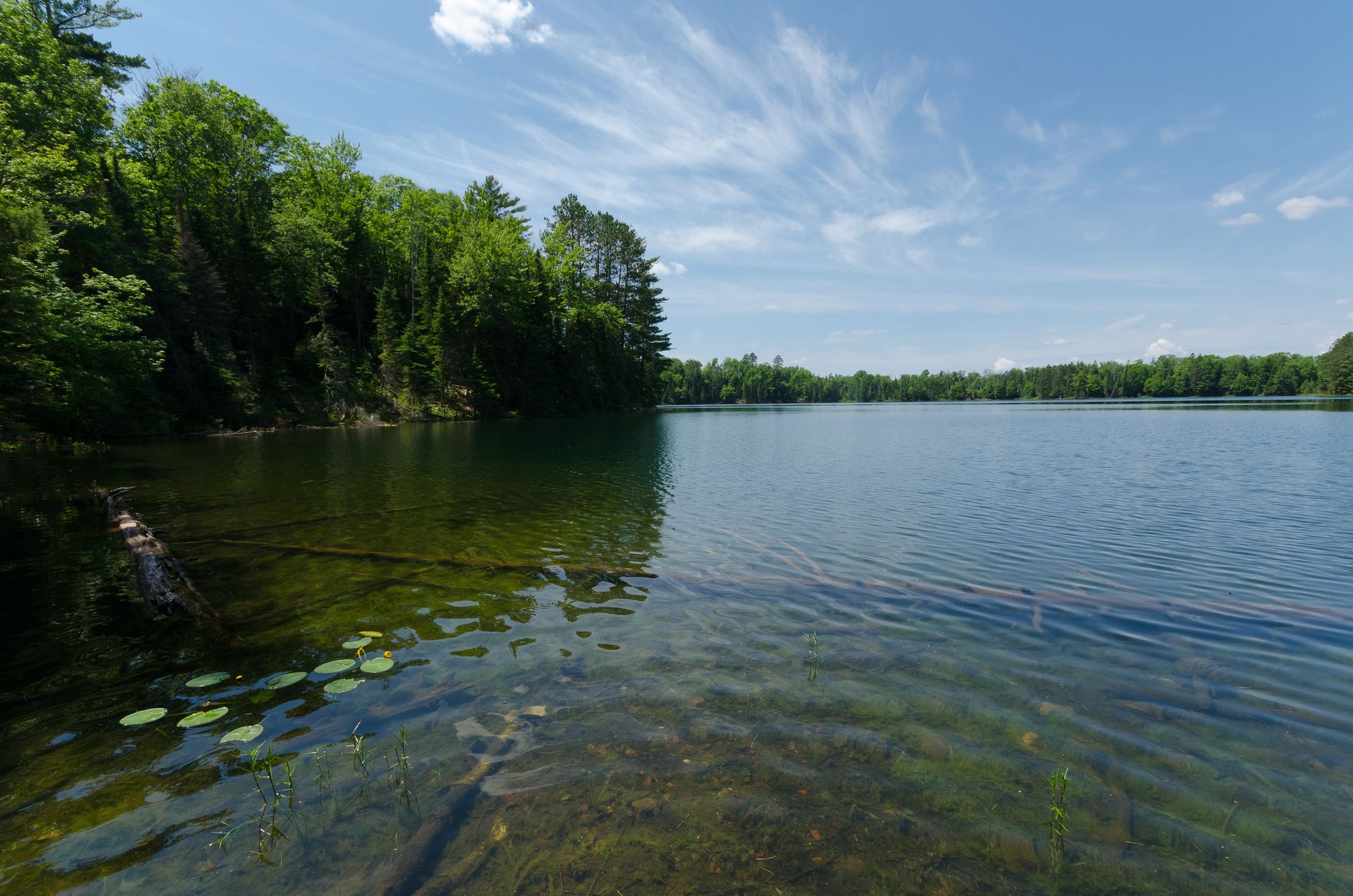
Rock Lake
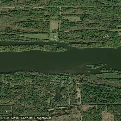
Wisconsin River
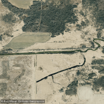
Bark River
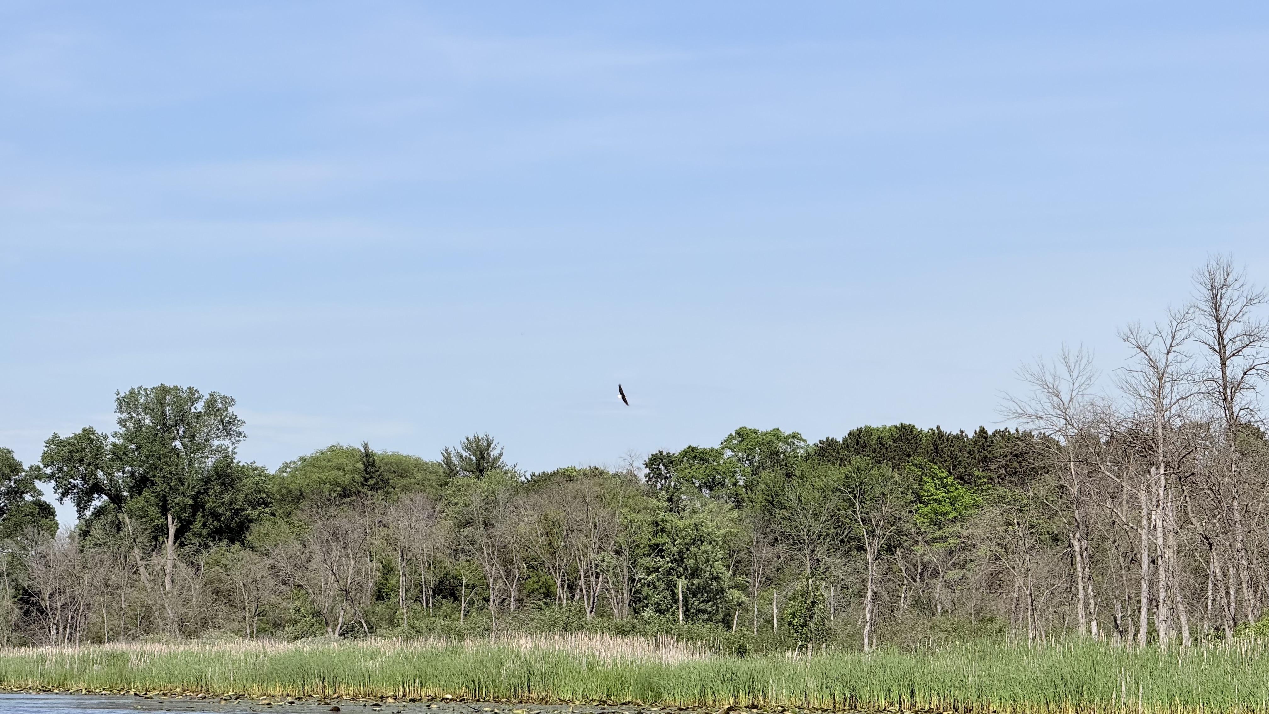
Fox River
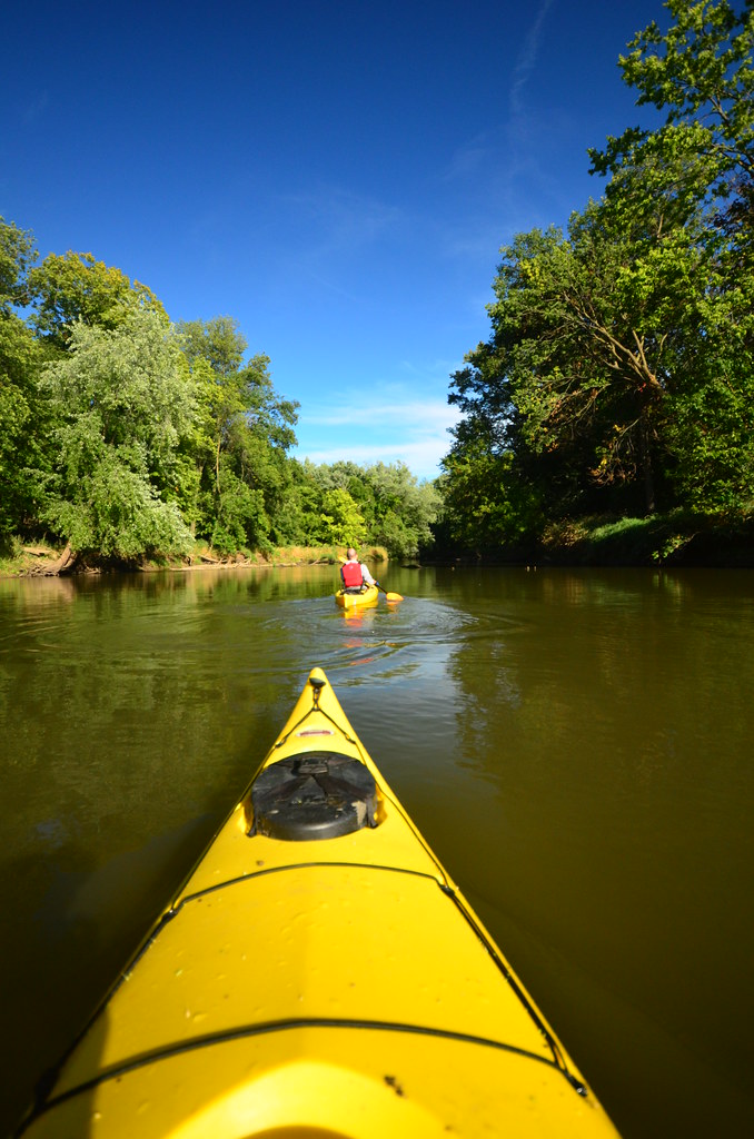
Baraboo River
Explore Illinois waters
Top paddling waters
Popular Cities
Loading popular cities...
Explore near Sugar River
Access points
Nearby waters
More in Illinois

Smarter Paddling Starts in the App.
Paddleways gives you everything you need to plan smarter, paddle better, and own every trip from first launch to takeout.