Shan L.
Wb Aug 1, 2026 thwarted by beavers but beautiful
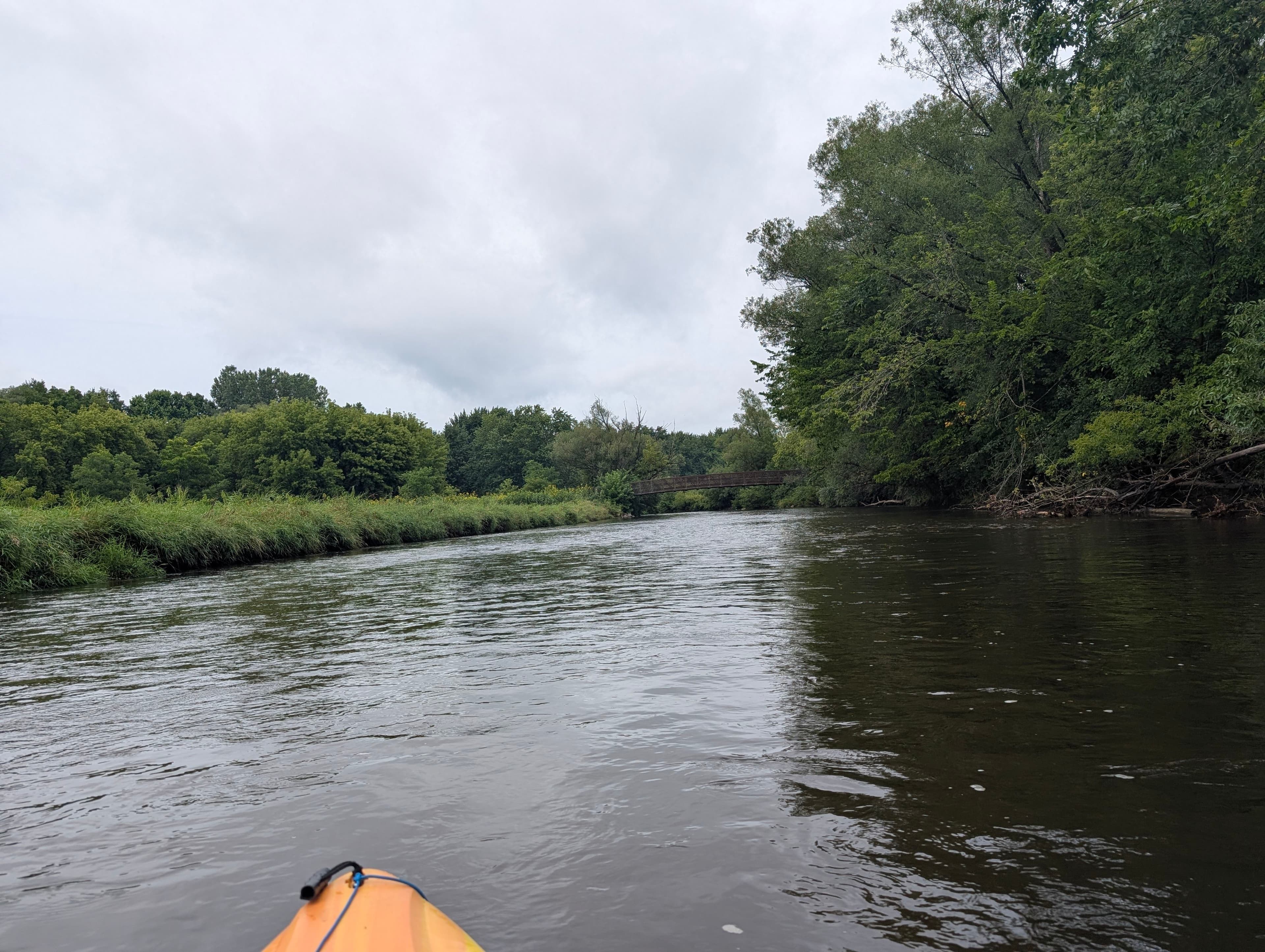
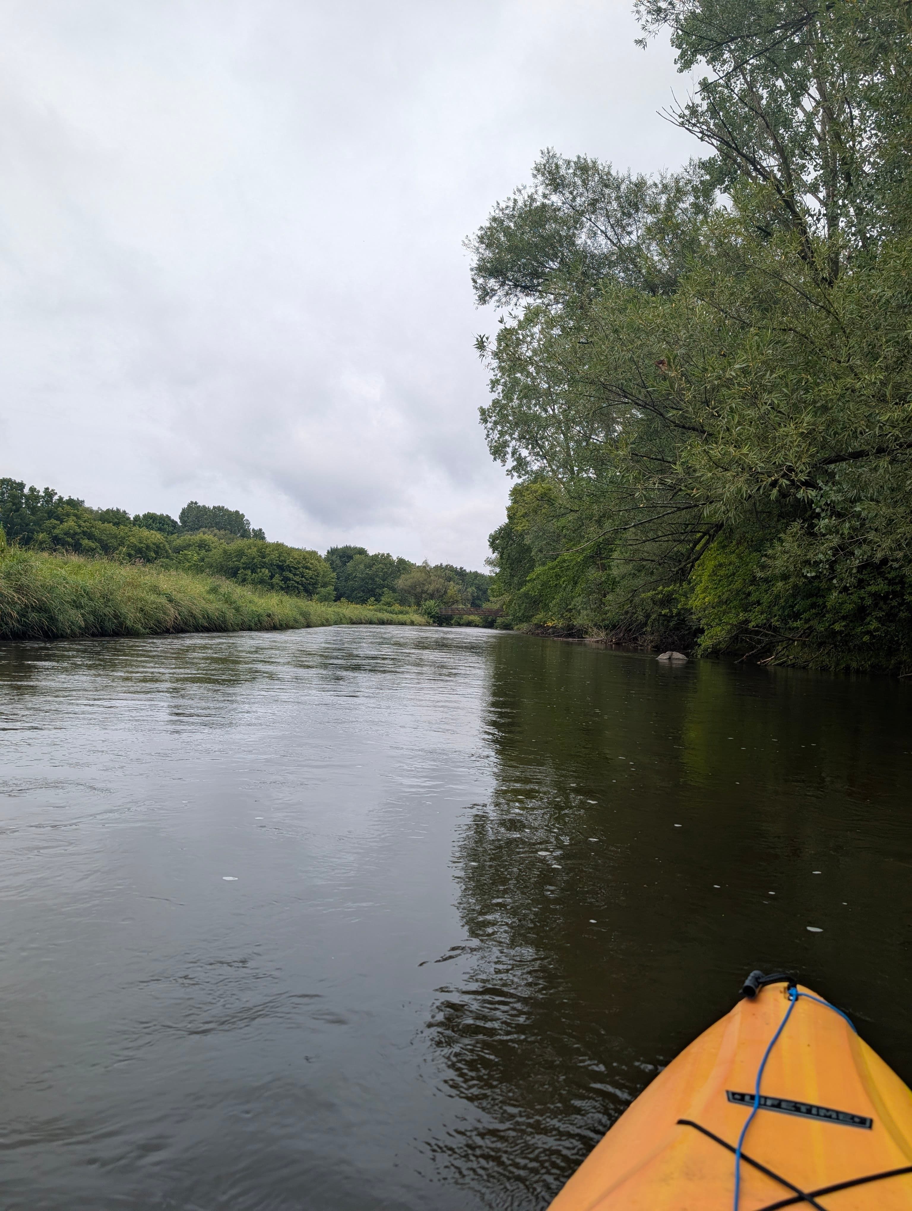
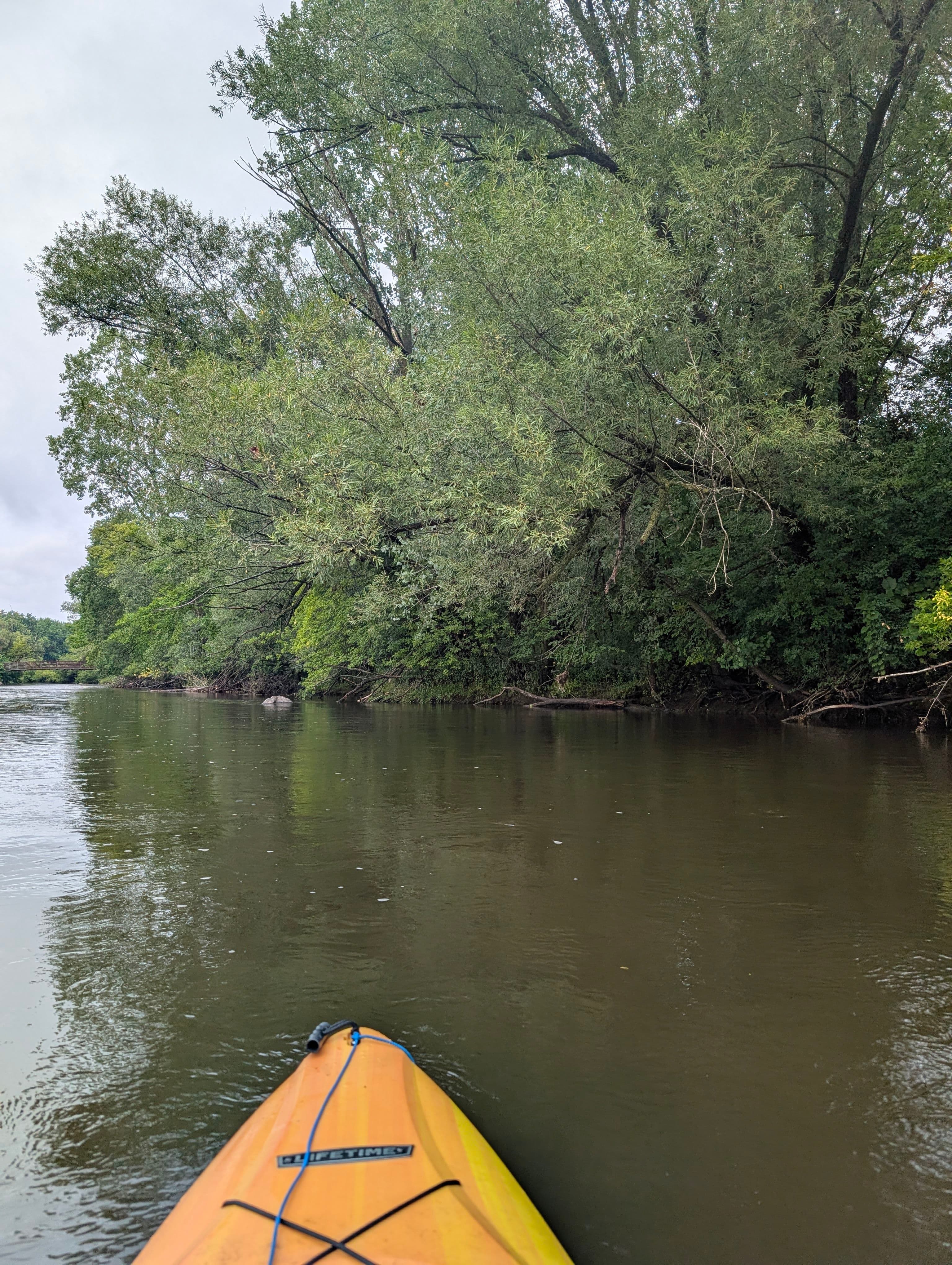 +2
Curated by PaddleWays
3.7 mi flatwater route on the Milwaukee River in Wisconsin
Level right now
Route facts
About this route
This section of the Milwaukee River offers a pleasant urban paddling experience through West Bend. The put-in is located at the Washington Street dam, where there's a public park with good access below the dam.
This scenic starting point sets the tone for the 3.7-mile journey downstream. As you paddle, you'll pass through Riverside Park, which stretches about a mile along the river and features a boat launch.
The city of West Bend has made great use of the land exposed by dam removal, enhancing the natural beauty of the area. The river continues past the River Road Bridge and on to Quaas Creek Park, your take-out point.
Quaas Creek Park is a 65-acre city park with over two miles of trails crossing both Quaas Creek and the Milwaukee River, offering additional exploration opportunities after your paddle.
While specific rapids aren't mentioned, the run appears to be suitable for kayaking and likely offers a mix of calm stretches and gentle currents.
The surrounding landscape provides a picturesque backdrop, especially as you approach Quaas Creek Park, where you might spot local wildlife along the banks.
Put-in and take-out
Put-in
Take-out
Hazards
No paddler has reported a hazard here yet, so these are the dams, falls and big rapids on our map. Hazards change with flows and storms, so check them before you launch.
From the community
Real trips from PaddleWays paddlers who ran this route: how the flows were, and what to watch for.
Loading trip reports
Shan L.
Wb Aug 1, 2026 thwarted by beavers but beautiful
+2The gauges near West Bend to Quaas Creek Park and the forecast where it starts, so you can pick your day.
No forecast data available.
Same water
The other curated routes on the Milwaukee River, each with how it is running now.
RouteFlatwater
RouteClass I
RouteClass I
RouteFlatwater
RouteFlatwater
RouteClass I–II
Close by
Curated routes on other waters within an hour or so, nearest first.
on Rubicon River · 13 mi away
RouteClass I–II
on Menomonee River · 18 mi away
RouteClass II–III
on Menomonee River · 20 mi away
RouteClass I–II
on Oconomowoc River · 25 mi away
RouteFlatwater
on Mullet River · 26 mi away
RouteClass I–II
on Oconomowoc River · 26 mi away
RouteFlatwater
PaddleWays gives you everything you need to plan smarter, paddle better, and own every trip from first launch to takeout.
