Oconomowoc River
Oconomowoc River
- Boat Ramps
- 6
- Access Points
- 6
- Campsites
- 1
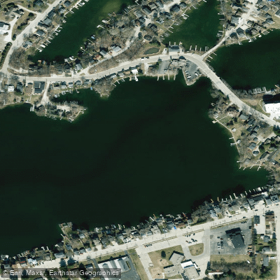
The Oconomowoc River is a scenic waterway in southeastern Wisconsin, originating in Washington County and flowing south through Waukesha County before joining the Rock River. This 51-mile river is part of the larger Rock River watershed and ultimately drains into the Mississippi River system. The river offers a diverse paddling experience, combining stretches of flowing river with interconnected lakes.
Popular sections include the Loew Lake Unit in the Kettle Moraine State Forest, where paddlers can enjoy a 6.6-mile round trip from County Highway Q to Loew Lake and back. Downstream, the river widens into a series of lakes including Okauchee, Oconomowoc, and Fowler, providing opportunities for both river and lake paddling.
Most sections of the Oconomowoc River are suitable for beginner to intermediate paddlers, with primarily flatwater conditions interspersed with occasional Class I rapids. The upper reaches near Monches offer some Class II-III rapids for more experienced paddlers. Water levels are generally most favorable for paddling in spring and fall, with summer sometimes bringing lower water conditions in certain sections.
The river flows through glacial landscapes, offering paddlers views of kettle formations, wetlands, and wooded shorelines. Wildlife enthusiasts may spot various waterfowl, fish species like northern pike and walleye, and possibly even bald eagles. The water clarity is notably good in many sections, enhancing the paddling experience.
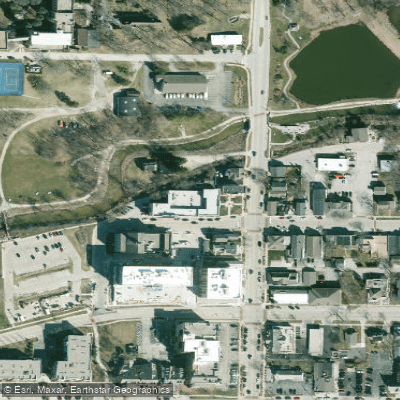
Key access points include the Loew Lake Unit launch off County Highway Q in Colgate, various launches around Okauchee and Oconomowoc Lakes, and Fowler Lake Park in downtown Oconomowoc. The river passes through or near several towns, with Oconomowoc being the largest urban area along its course.
Historically, the river played a role in the early settlement and development of the region, powering mills and supporting local industries. Today, it's primarily valued for its recreational opportunities and as a natural resource.
Paddlers should be aware of occasional portages around dams, particularly between lake sections. Some areas may require a fee for lake access. Multi-day trips are possible by combining various sections and lake paddles, though camping options are limited and would require careful planning.
The Oconomowoc River provides a unique blend of river and lake paddling experiences, showcasing the beauty of Wisconsin's glacial landscape and offering accessible adventures for a range of skill levels.
Water access, boat ramps & amenities
Learn how to get on Oconomowoc River. Uncover great paddling access points, boat ramps, and all the facilities you need for an unforgettable day on the water. Some locations shown may border or include private property. Always check property boundaries and applicable regulations before visiting. PaddleWays's Public & Private Land layer can help you plan your access with confidence.

Paddle smarter with real-time insights
Whether you're en route and conditions shift or you're looking for the best spot based on current flows, we enable you to make informed decisions on the fly.








Find Places to Paddle

Over 400,000 Places to Paddle
Every user gets free access to launch points, boat ramps, and public property parcels.


Water and weather conditions (10 day forecast)
See the best times to paddle Oconomowoc River and check the forecast before you go.
No forecast data available.
Paddling near Oconomowoc River

Rock River
Bark River
Rock Lake
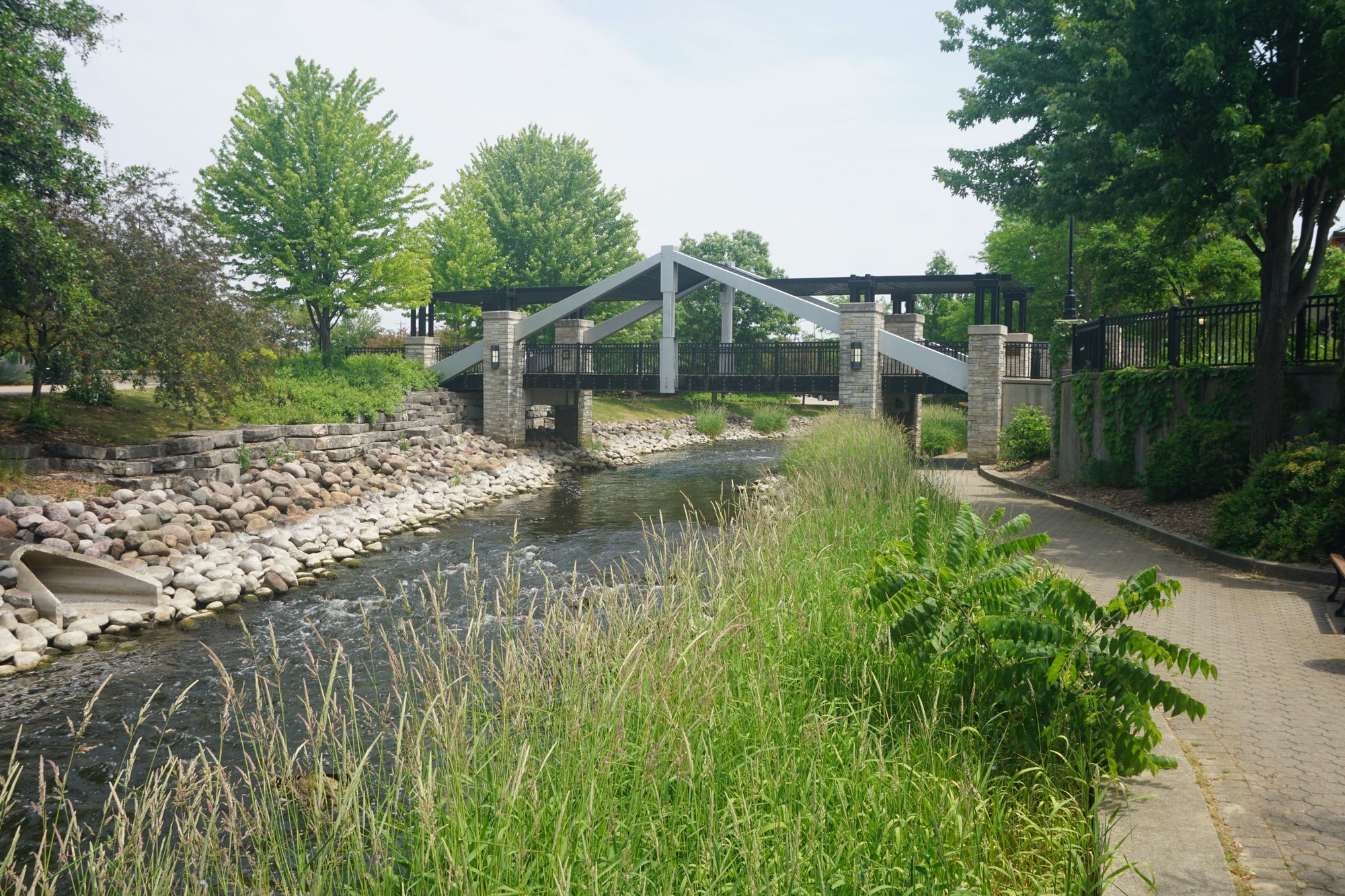
Fox River

Lake Michigan

Lake Monona
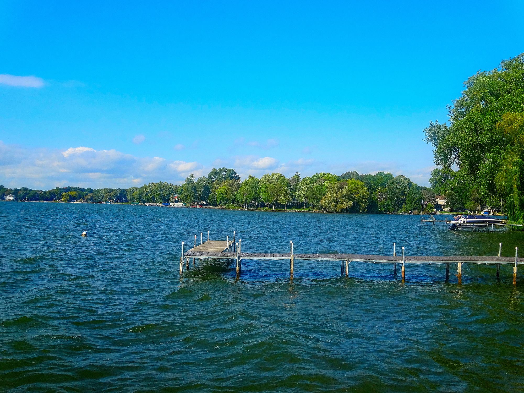
Lake Mendota
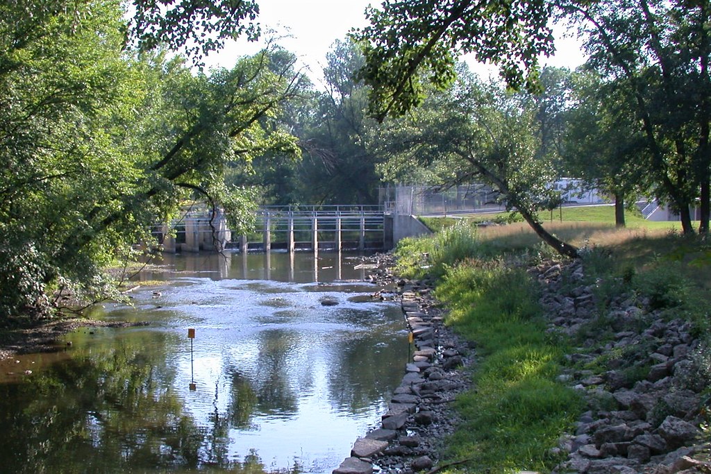
Root River

Lake Winnebago
Explore Wisconsin waters
Top paddling waters
Popular Cities
Loading popular cities...
Explore near Oconomowoc River
Access points
Nearby waters
More in Wisconsin

Smarter Paddling Starts in the App.
Paddleways gives you everything you need to plan smarter, paddle better, and own every trip from first launch to takeout.