Curated by PaddleWays
RouteClass I–II
- Distance
- 1.1 mi
- Paddle time
- ~0.5 hrs
- Best for
- Beginners, intermediate paddlers
- Put-in → take-out
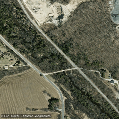
- Camp Evelyn → Woodland Road
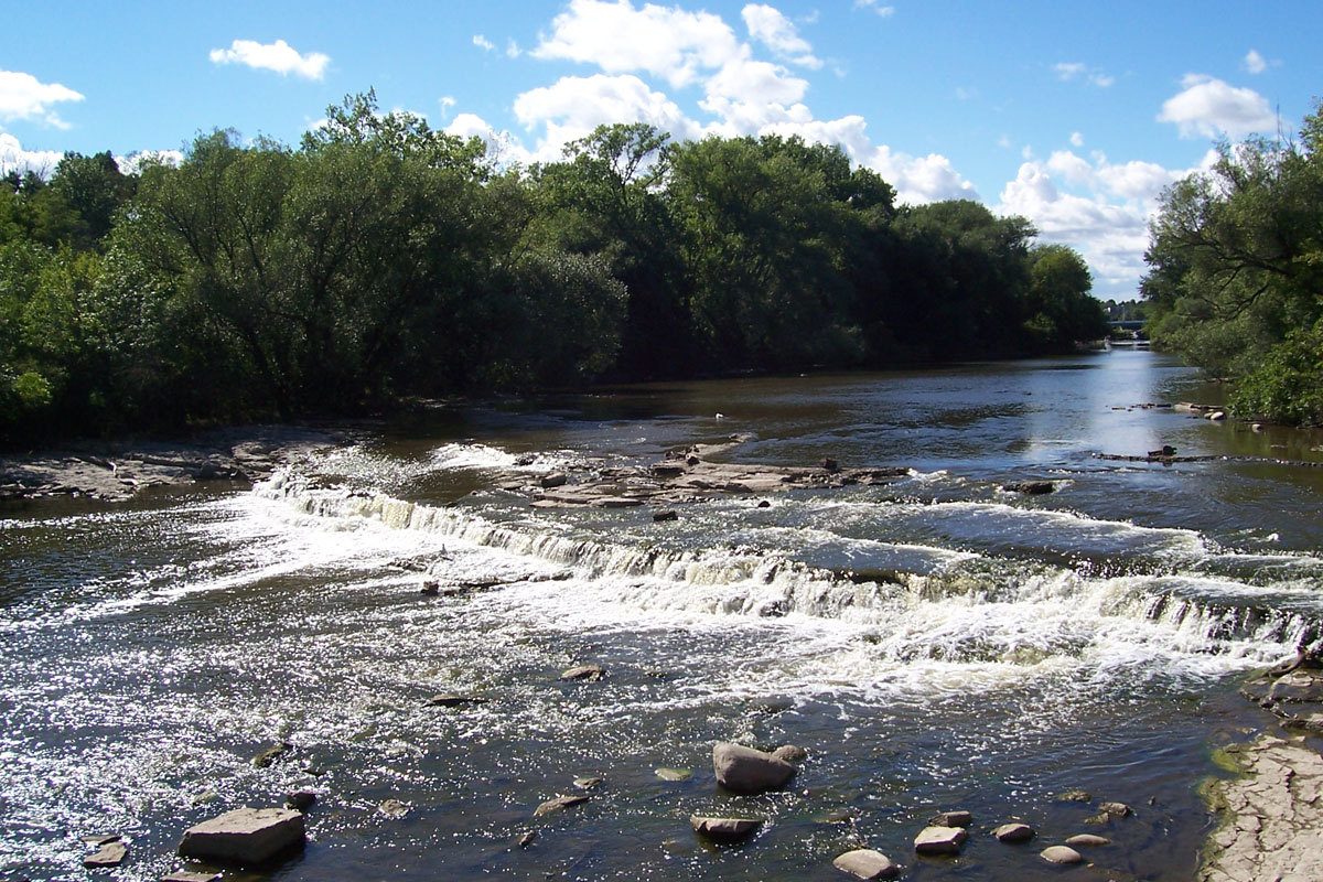
The Mullet River is a scenic waterway located in eastern Wisconsin, flowing generally eastward through Sheboygan County before joining the Sheboygan River near the city of Sheboygan. This tributary of the Sheboygan River system originates west of Plymouth and meanders for approximately 25 miles through a mix of rural and urban landscapes. Paddling opportunities on the Mullet River range from calm flatwater sections to stretches with Class I-II rapids, offering experiences for beginners to intermediate paddlers. The river's character can vary significantly depending on water levels, with some sections appearing less appealing during low flow but transforming into beautiful paddling routes under favorable conditions.
A popular paddling section runs from Sumac Road to River Park in Plymouth, covering 7.3 miles of varied terrain. This stretch offers a mix of quiet pools and gentle rapids, winding through Wisconsin's picturesque countryside. Another notable section is the 1.2-mile run from Camp Evelyn to Woodland Road, featuring Class I-II whitewater with an average gradient of 30 feet per mile - ideal for paddlers looking to practice moving water skills.
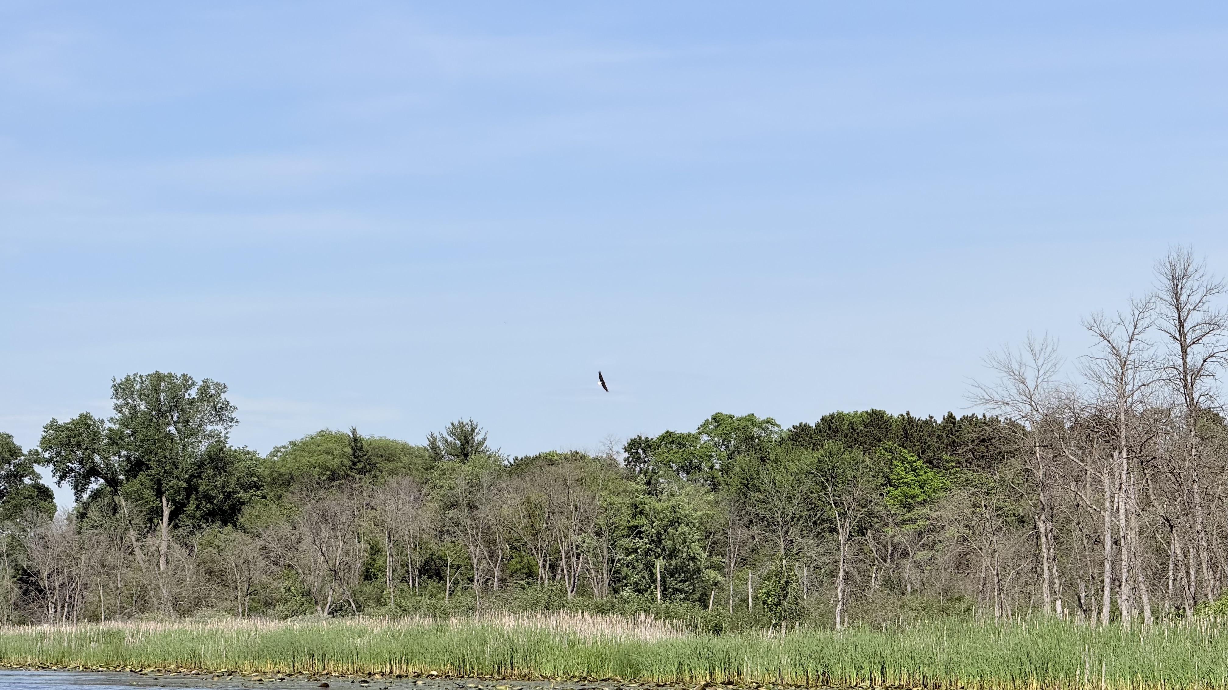
The Mullet River's flow is generally most reliable in spring and early summer, though water levels can fluctuate throughout the year. Late summer and fall paddling may require checking water levels in advance. The river corridor supports diverse wildlife, including various bird species and potentially beaver activity in some areas. Key access points include River Road and River Park in Plymouth, as well as put-ins at Camp Evelyn and Sumac Road. The city of Plymouth serves as the primary nearby urban center, offering amenities for paddlers.
Paddlers should be aware that deadfall can be an issue on some stretches, particularly after storms. Scouting unfamiliar sections is recommended. For those interested in longer adventures, multi-day trips can be planned by combining the Mullet River with sections of the Sheboygan River downstream.
The Mullet River played a role in the early industrial development of the region, powering mills in Plymouth and other settlements. Today, it offers a blend of natural beauty and historical interest for paddlers exploring eastern Wisconsin's waterways. While not as well-known as some of Wisconsin's larger rivers, the Mullet River provides a rewarding paddling experience for those willing to explore its varied character and scenic stretches. Whether seeking a peaceful float or some light whitewater action, the Mullet River has something to offer paddlers of different skill levels.
Curated routes
Hand-picked by the PaddleWays team, with put-ins, take-outs, paddle times and the hazards along the way.
RouteClass I–II
Hazards
No paddler has reported a hazard here yet, so these are the dams, falls and big rapids on our map. Hazards change with flows and storms, so check them before you launch.
From the community
Nobody has shared a trip on Mullet River yet. Paddle it, then tell the next paddler how it went.
See exactly where the public can get on and off the river. Launch points and boat ramps are paired with PaddleWays' public land data so you know where you can legally land.
Public shoreline
17%of the river's shoreline is public
Most of the riverbank is private. Launch, land and camp only at public access points.
Flows, weather and a route-by-route verdict, so you know which stretch of the Mullet River is worth paddling today.
No forecast data available.
Live flows, marked hazards and fresh trip reports from paddlers who were just on the water, all in one place.





Every user gets free access to launch points, boat ramps, and public property parcels.

Loading popular cities...
PaddleWays gives you everything you need to plan smarter, paddle better, and own every trip from first launch to takeout.





