Curated by PaddleWays
RouteClass II–III
- Distance
- 0.4 mi
- Paddle time
- ~0.5 hrs
- Put-in → take-out
- Main Street → Arthur Avenue
Closed due to wood obstructions
The Menomonee River originates in Washington County, Wisconsin and flows southeast for approximately 33 miles before emptying into Lake Michigan at Milwaukee. As one of three primary rivers in the Milwaukee area, the Menomonee drains a watershed of about 136 square miles. Paddling opportunities on the Menomonee range from peaceful urban floats to exciting whitewater runs.
The upper reaches near Menomonee Falls offer a challenging Class III-IV gorge section for experienced paddlers. Downstream, the river mellows as it winds through Milwaukee's western suburbs, with popular Class I-II segments from Hoyt Park through Wauwatosa. The lower Menomonee provides a unique urban paddling experience through Milwaukee's industrial heart. Remediation efforts have inadvertently created Class II rapids in some stretches, adding thrills to the scenic industrial backdrop. The Menomonee River Valley section offers four canoe/kayak launches amid steel dock walls that showcase the area's rich history.
Water levels fluctuate seasonally, with spring typically offering the best flows for whitewater. Summer and fall provide more reliable conditions for flatwater paddling. The river's character can change dramatically based on recent rainfall, so checking current conditions is essential.
Notable wildlife includes great blue herons, beavers, and various fish species. The corridor serves as an important urban green space, with parks like Three Bridges Park offering riverside trails and native plant restoration areas.
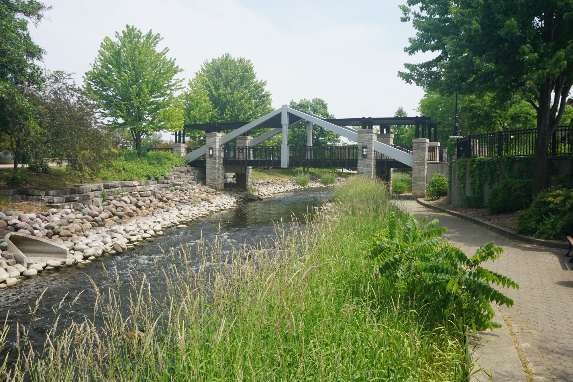
Key access points include Hoyt Park, Hart Park in Wauwatosa, and Three Bridges Park in Milwaukee. The 24-acre Three Bridges Park, completed in 2013, symbolizes efforts to reconnect neighborhoods to the river.
Historically, the Menomonee River powered Milwaukee's early industries. Today, it remains vital to the city's identity, hosting events like the Milwaukee River Challenge rowing race. Ongoing restoration work aims to balance urban development with ecological health.
Paddlers should be aware of potential hazards like low-head dams, woody debris, and water quality issues after heavy rains. Local regulations may restrict access in some areas, so researching current guidelines is advised. While primarily suited for day trips, ambitious paddlers could string together multi-day adventures by combining Menomonee segments with connected waterways in the greater Milwaukee area.
Curated routes
Hand-picked by the PaddleWays team, with put-ins, take-outs, paddle times and the hazards along the way.
RouteClass II–III
RouteClass I–II
RouteClass I–II
RouteClass I–II
RouteClass I–II
RouteClass I–II
Hazards
No hazards are marked on Menomonee River yet. That is not the same as none being there: if you find one, report it for the next paddler.
From the community
Nobody has shared a trip on Menomonee River yet. Paddle it, then tell the next paddler how it went.
See exactly where the public can get on and off the river. Launch points and boat ramps are paired with PaddleWays' public land data so you know where you can legally land.
Public shoreline
17%of the river's shoreline is public
Most of the riverbank is private. Launch, land and camp only at public access points.
Flows, weather and a route-by-route verdict, so you know which stretch of the Menomonee River is worth paddling today.
All Flow Stations
Live flows, marked hazards and fresh trip reports from paddlers who were just on the water, all in one place.





Every user gets free access to launch points, boat ramps, and public property parcels.

Loading popular cities...
PaddleWays gives you everything you need to plan smarter, paddle better, and own every trip from first launch to takeout.