Curated by PaddleWays
RouteClass I–II
- Distance
- 3.3 mi
- Paddle time
- ~1 hr
- Best for
- Intermediate paddlers
- Put-in → take-out
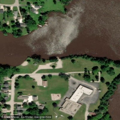
- West Side Park → Highway 60
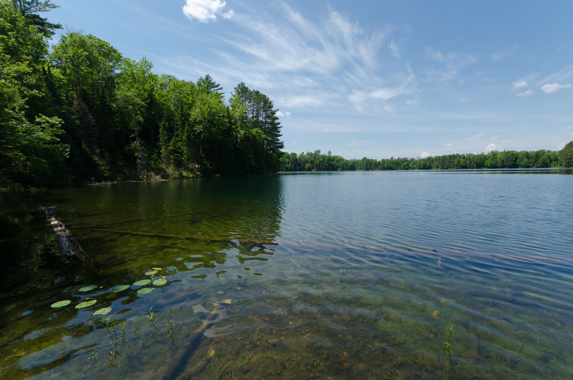
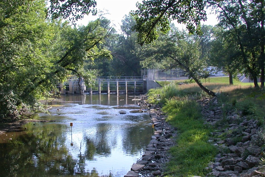
The Rubicon River is a scenic waterway in southeastern Wisconsin, originating near Pike Lake and flowing generally southward for approximately 20 miles before joining the Rock River near Hustisford. This small river drains portions of Washington and Dodge counties, passing through rural landscapes and the city of Hartford. For paddlers, the Rubicon offers several enjoyable day-trip sections ranging from 1-8 miles in length. The river's difficulty varies from flatwater to Class II rapids, making it suitable for beginners to intermediate paddlers depending on the section. The upper reaches near Pike Lake tend to be quicker with more frequent riffles, while the lower sections become increasingly placid as the river approaches its confluence with the Rock.
Popular paddling routes include: - Pike Lake to Highway 60 (1.1 miles, Class II) - Highway 60 to Pond Road (1.9 miles, Class I-II) - Hilldale Road through Hartford to West Side Park (3.5 miles, Class II-III) - County Road WW to Wisconsin River Road (8.5 miles, Class II with flatwater)
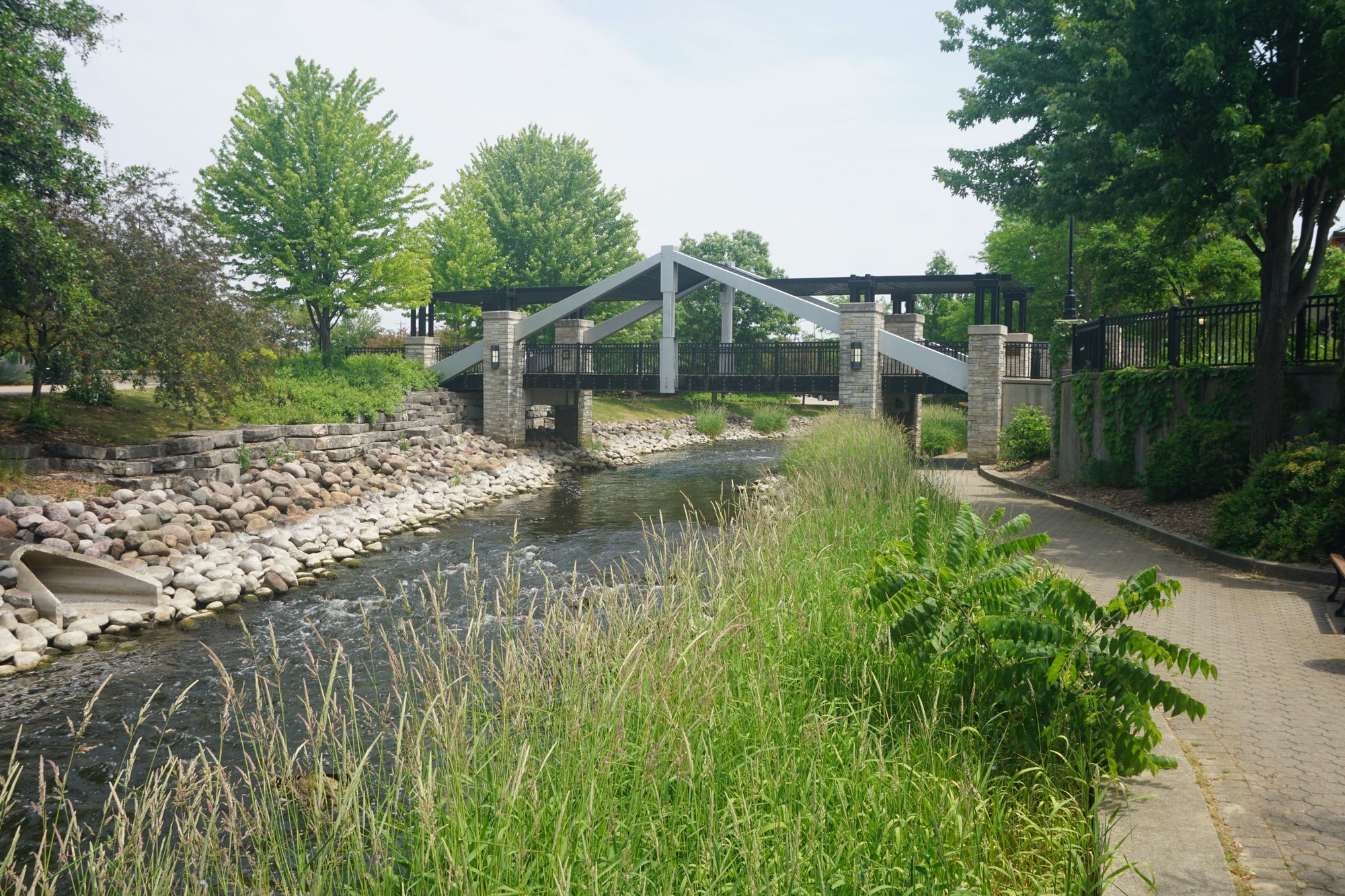
Spring and early summer typically offer the best water levels for paddling the Rubicon. By late summer, some sections may become too shallow for enjoyable trips. The river corridor supports a mix of hardwood forests and farmland, providing habitat for various wildlife including deer, waterfowl, and smallmouth bass. Key landmarks include the series of parks along the river in Hartford, such as Willowbrook and West Side Park. The city has made efforts to preserve the Rubicon's natural character by creating the Rubicon River Parkway.
Primary access points are found at Pike Lake State Park, various road crossings in Hartford, and near the river's mouth at the Rock River. Paddlers should be aware of several dams, particularly in Hartford and Neosho, which require portaging. While not a renowned whitewater destination, the Rubicon River offers pleasant paddling opportunities for locals and visitors alike. Its gentle nature and proximity to population centers make it an accessible option for afternoon floats and family outings. Paddlers should always check current conditions, as logjams can be an issue in some sections, particularly after high water events.
Curated routes
Hand-picked by the PaddleWays team, with put-ins, take-outs, paddle times and the hazards along the way.
RouteClass I–II
Hazards
No paddler has reported a hazard here yet, so these are the dams, falls and big rapids on our map. Hazards change with flows and storms, so check them before you launch.
From the community
Nobody has shared a trip on Rubicon River yet. Paddle it, then tell the next paddler how it went.
See exactly where the public can get on and off the river. Launch points and boat ramps are paired with PaddleWays' public land data so you know where you can legally land.
Public shoreline
2%of the river's shoreline is public
Most of the riverbank is private. Launch, land and camp only at public access points.
Flows, weather and a route-by-route verdict, so you know which stretch of the Rubicon River is worth paddling today.
No forecast data available.
Live flows, marked hazards and fresh trip reports from paddlers who were just on the water, all in one place.





Every user gets free access to launch points, boat ramps, and public property parcels.


Loading popular cities...
PaddleWays gives you everything you need to plan smarter, paddle better, and own every trip from first launch to takeout.