Curated by PaddleWays
RouteClass II
- Distance
- 2.7 mi
- Paddle time
- ~1 hr
- Best for
- Experienced paddlers
- Put-in → take-out
- Brookfield Park → Lighthouse Harbor Boat Ramp
Logjams that may require portaging
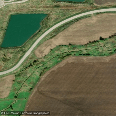
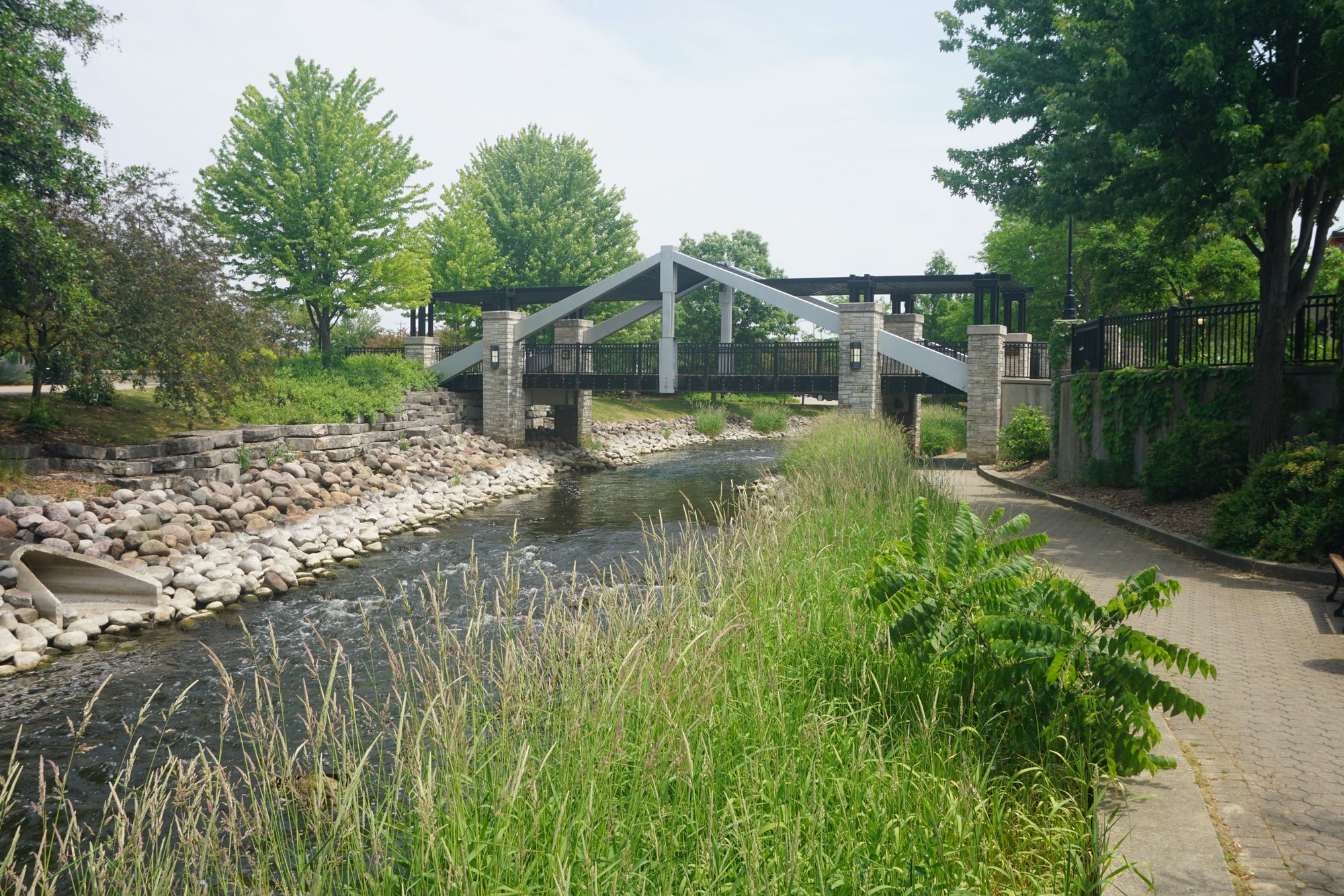
De Neveu Creek flows through Fond du Lac, Wisconsin, serving as a narrow tributary that ultimately empties into Lake Winnebago at Lakeside Park Marina. This small waterway offers adventurous paddlers a challenging and intimate creek experience within an urban setting, requiring specific conditions to be runnable.
The creek's most notable paddling section runs 2.8 miles from Brookfield Park to Lakeside Park Marina, presenting Class II-III difficulty that demands high water levels and intermediate to advanced whitewater skills. The channel is exceptionally narrow, creating a technical paddling environment where maneuvering through tight passages becomes the primary challenge. Rapids form during optimal flow conditions, and paddlers should anticipate navigating logjams that commonly obstruct narrow Wisconsin creeks. The section requires careful timing and scouting, as low water renders it impassable.
A second paddling opportunity exists on the upper reaches, where a 3.7-mile section flows from Highway C to Eldorado Dam on Dike Road, rated Class I-II. This stretch begins with an inviting mile-long riffly section through wooded terrain before emptying into Eldorado Marsh, an artificial cattail flowage. While the initial creek portion offers pleasant paddling with only 1-2 logjams typically encountered, the marsh section presents navigation challenges as invasive cattails have constricted the channel, making the center portion potentially impassable depending on seasonal growth.
Access points include Brookfield Park for the lower section and Highway C for the upper reach. The take-out at Lakeside Park Marina provides a dramatic finish where the creek meets Lake Winnebago, with paddlers landing among rocks near flagpoles at a staircase access point popular with fishermen. The Eldorado Dam area offers DNR public access off Dike Road, though the road is gated, requiring an 1,800-foot hike to reach the water.
Recent streambank stabilization work along De Neveu Creek has addressed erosion concerns, particularly near McKinley Park where efforts have maintained the natural streambank integrity. The creek flows through both natural wooded corridors and developed urban areas before reaching its terminus.
Paddlers should plan trips during spring runoff or following significant rainfall when water levels support navigation through the narrow channels. The creek's intimate scale and technical nature make it unsuitable for beginners, while experienced paddlers seeking a unique urban whitewater challenge will find rewarding opportunities when conditions align.
Curated routes
Hand-picked by the PaddleWays team, with put-ins, take-outs, paddle times and the hazards along the way.
RouteClass II
Hazards
No hazards are marked on De Neveu Creek yet. That is not the same as none being there: if you find one, report it for the next paddler.
From the community
Nobody has shared a trip on De Neveu Creek yet. Paddle it, then tell the next paddler how it went.
See exactly where the public can get on and off the river. Launch points and boat ramps are paired with PaddleWays' public land data so you know where you can legally land.
Public shoreline
5%of the river's shoreline is public
Most of the riverbank is private. Launch, land and camp only at public access points.
Flows, weather and a route-by-route verdict, so you know which stretch of the De Neveu Creek is worth paddling today.
No forecast data available.
Live flows, marked hazards and fresh trip reports from paddlers who were just on the water, all in one place.





Every user gets free access to launch points, boat ramps, and public property parcels.

Loading popular cities...
PaddleWays gives you everything you need to plan smarter, paddle better, and own every trip from first launch to takeout.





