Sheboygan River
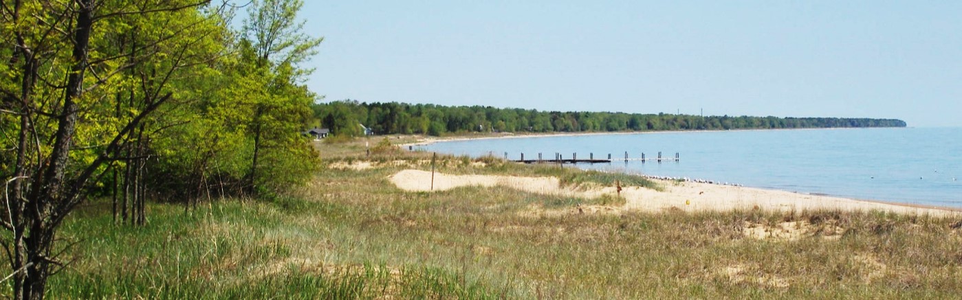
Sheboygan River
- Boat Ramps
- 5
- Access Points
- 13
- Campsites
- 25
The Sheboygan River is a scenic waterway in eastern Wisconsin, originating near Elkhart Lake and flowing eastward for approximately 80 miles before emptying into Lake Michigan at the city of Sheboygan. Its main tributary is the Onion River, which joins the Sheboygan near the town of Sheboygan Falls. Paddlers will find a variety of experiences along the Sheboygan River, from peaceful flatwater stretches to more challenging Class I-II rapids.
The upper sections near Elkhart Lake offer tranquil floats through rural landscapes, while the middle sections provide a mix of gentle riffles and quiet pools. As the river approaches Sheboygan Falls and Kohler, it picks up speed and features more frequent rapids, making it popular among recreational kayakers and canoeists. The overall difficulty ranges from flatwater to Class II, suitable for beginners to intermediate paddlers. However, water levels can significantly affect conditions, so checking current flow rates is advisable. The best paddling season typically runs from late spring through early fall, with May and June offering optimal water levels and lush scenery.
Wildlife enthusiasts will appreciate the diverse ecosystems along the river, including wetlands, forests, and prairies. Birdwatchers may spot herons, eagles, and various waterfowl. The Sheboygan Marsh, located in the river's upper reaches, is a particularly rich habitat for flora and fauna.
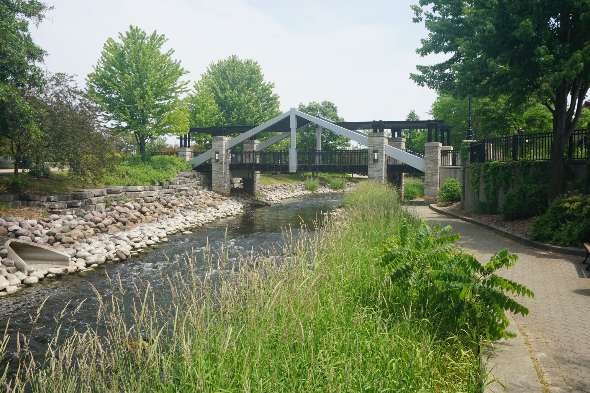
Notable landmarks include the historic bridges in Sheboygan Falls, the Kohler-Andrae State Park near the river's mouth, and the scenic golf courses in Kohler. The river played a significant role in the region's early settlement and industrial development, with remnants of old mills and dams visible along some stretches.
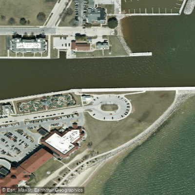
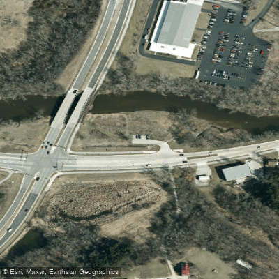
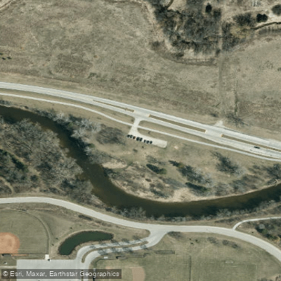
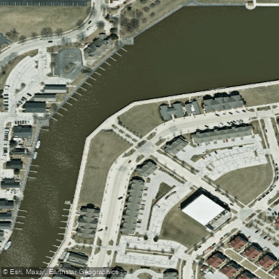
Popular access points include Sheboygan Marsh Park, Dassow Park, and various bridge crossings such as County Road A, County Road C, and Highway 28. The cities of Plymouth, Sheboygan Falls, Kohler, and Sheboygan provide convenient nearby amenities for paddlers.
Safety considerations include being aware of dam locations, watching for submerged obstacles, and respecting private property along the shorelines. Paddlers should also be prepared for occasional portages around low-head dams, particularly in the Sheboygan Falls area.
While most trips on the Sheboygan River are day excursions, multi-day adventures are possible by combining several sections, with camping available at Sheboygan Marsh Park and other designated areas along the route. The Sheboygan River offers a delightful blend of natural beauty, historical interest, and paddling variety, making it a gem among Wisconsin's waterways and a must-visit destination for Midwest paddling enthusiasts.
Water access, boat ramps & amenities
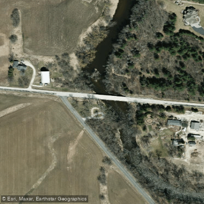
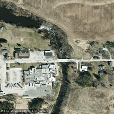
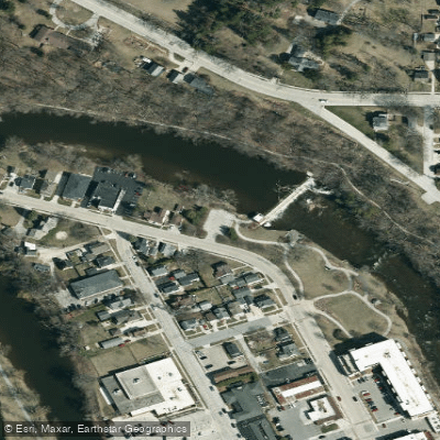
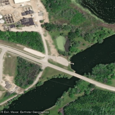
Learn how to get on Sheboygan River. Uncover great paddling access points, boat ramps, and all the facilities you need for an unforgettable day on the water. Some locations shown may border or include private property. Always check property boundaries and applicable regulations before visiting. PaddleWays's Public & Private Land layer can help you plan your access with confidence.
Paddle smarter with real-time insights
Whether you're en route and conditions shift or you're looking for the best spot based on current flows, we enable you to make informed decisions on the fly.








Find Places to Paddle

Over 400,000 Places to Paddle
Every user gets free access to launch points, boat ramps, and public property parcels.


Water and weather conditions (10 day forecast)
See the best times to paddle Sheboygan River and check the forecast before you go.
SHEBOYGAN RIVER AT SHEBOYGAN, WI
Paddling near Sheboygan River

Lake Michigan
Lake Winnebago
Milwaukee River
Fox River

Rock River
Fox River
Bark River
Oconomowoc River
Long Lake
Explore Wisconsin waters
Top paddling waters
Popular Cities
Loading popular cities...
Explore near Sheboygan River
Access points
Nearby waters
More in Wisconsin

Smarter Paddling Starts in the App.
Paddleways gives you everything you need to plan smarter, paddle better, and own every trip from first launch to takeout.