Manitowoc River
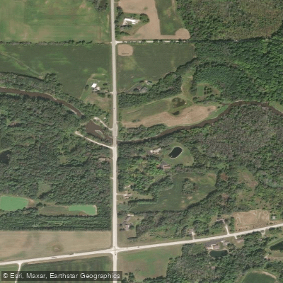
Manitowoc River
- Boat Ramps
- 3
- Access Points
- 4
- Campsites
- 1
The Manitowoc River originates in eastern Wisconsin and flows generally eastward for approximately 40 miles before emptying into Lake Michigan at the city of Manitowoc. The river's watershed covers about 526 square miles, draining portions of Manitowoc, Calumet, and Brown counties. Its main tributary is the North Branch, which joins the mainstem near Clarks Mills. The river has two distinct sections. The upper half above Clarks Mills is wide, sluggish, and marshy with a soft bottom and minimal gradient. Below Clarks Mills, the river's character changes dramatically as it descends through the Niagara Escarpment, featuring a series of rapids and small waterfalls that make it popular for paddling.
For paddlers, the most appealing stretch runs from Clarks Mills to Lake Michigan, offering about 25 miles of navigable water. The 10-mile section from Clarks Mills to County Highway S is particularly scenic, with continuous Class I-II rapids. Below Highway S, the river alternates between swift currents and slower pools as it approaches the city of Manitowoc. The river's difficulty ranges from Class I to II+, making it suitable for intermediate paddlers with some whitewater experience. However, high water levels can increase the challenge, especially at features like Lower Cato Falls. The best paddling is typically from late spring through early fall when water levels are moderate.
Wildlife along the river includes deer, muskrats, and a variety of waterfowl. The corridor supports diverse plant communities, from floodplain forests to prairie remnants.
Key landmarks include the historic Mill Street Dam, the scenic Lower Cato Falls, and several bridges that serve as convenient put-in and take-out points. The river passes through small towns like Clarks Mills and Cato before entering the more urban environment of Manitowoc. Popular access points include Clarks Mills, County Highway S, North Union Road, and the Manitowoc River Access Park. These are all within a 30-minute drive of the city of Manitowoc.
Historically, the river played a crucial role in the region's logging and shipbuilding industries. Today, it's an important recreational resource and the focus of local conservation efforts.
Paddlers should be aware of potential strainers, especially in high water, and the presence of the Mill Street Dam, which requires a portage. Local regulations require life jackets, and paddlers should check water levels before embarking. While most trips are day paddles, multi-day adventures are possible by camping at designated sites along the river or in nearby state parks.
Water access, boat ramps & amenities
Learn how to get on Manitowoc River. Uncover great paddling access points, boat ramps, and all the facilities you need for an unforgettable day on the water. Some locations shown may border or include private property. Always check property boundaries and applicable regulations before visiting. PaddleWays's Public & Private Land layer can help you plan your access with confidence.
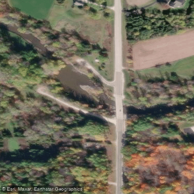
Paddle smarter with real-time insights
Whether you're en route and conditions shift or you're looking for the best spot based on current flows, we enable you to make informed decisions on the fly.








Find Places to Paddle

Over 400,000 Places to Paddle
Every user gets free access to launch points, boat ramps, and public property parcels.


Water and weather conditions (10 day forecast)
See the best times to paddle Manitowoc River and check the forecast before you go.
MANITOWOC RIVER AT MANITOWOC, WI
Paddling near Manitowoc River

Lake Michigan
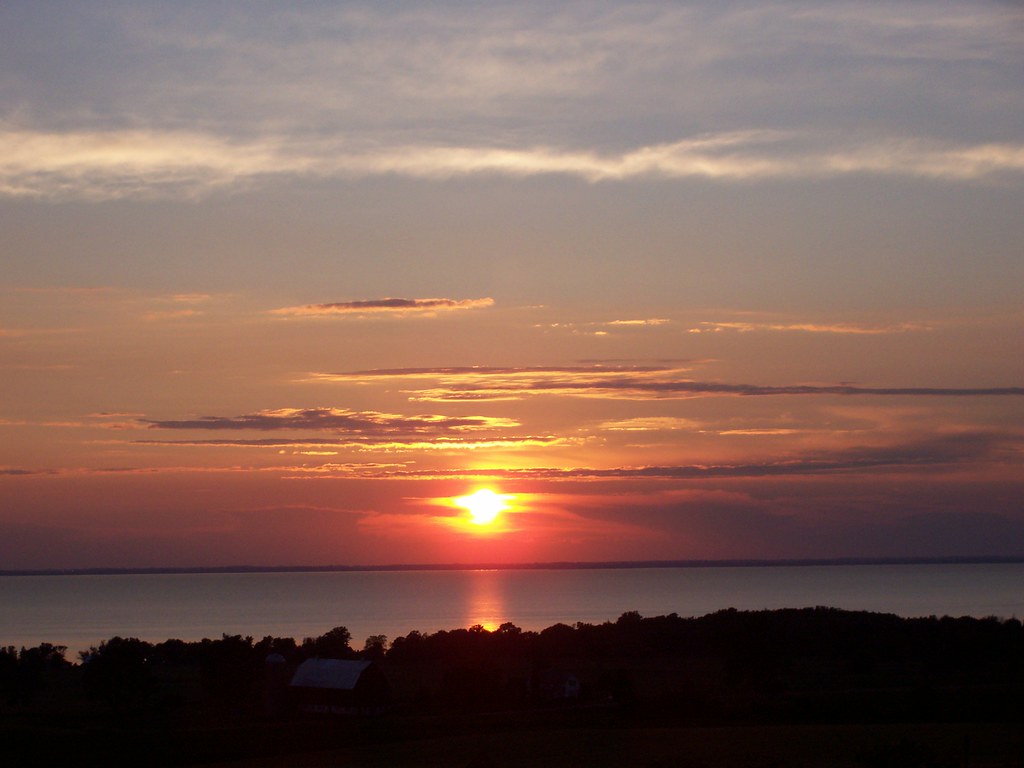
Lake Winnebago
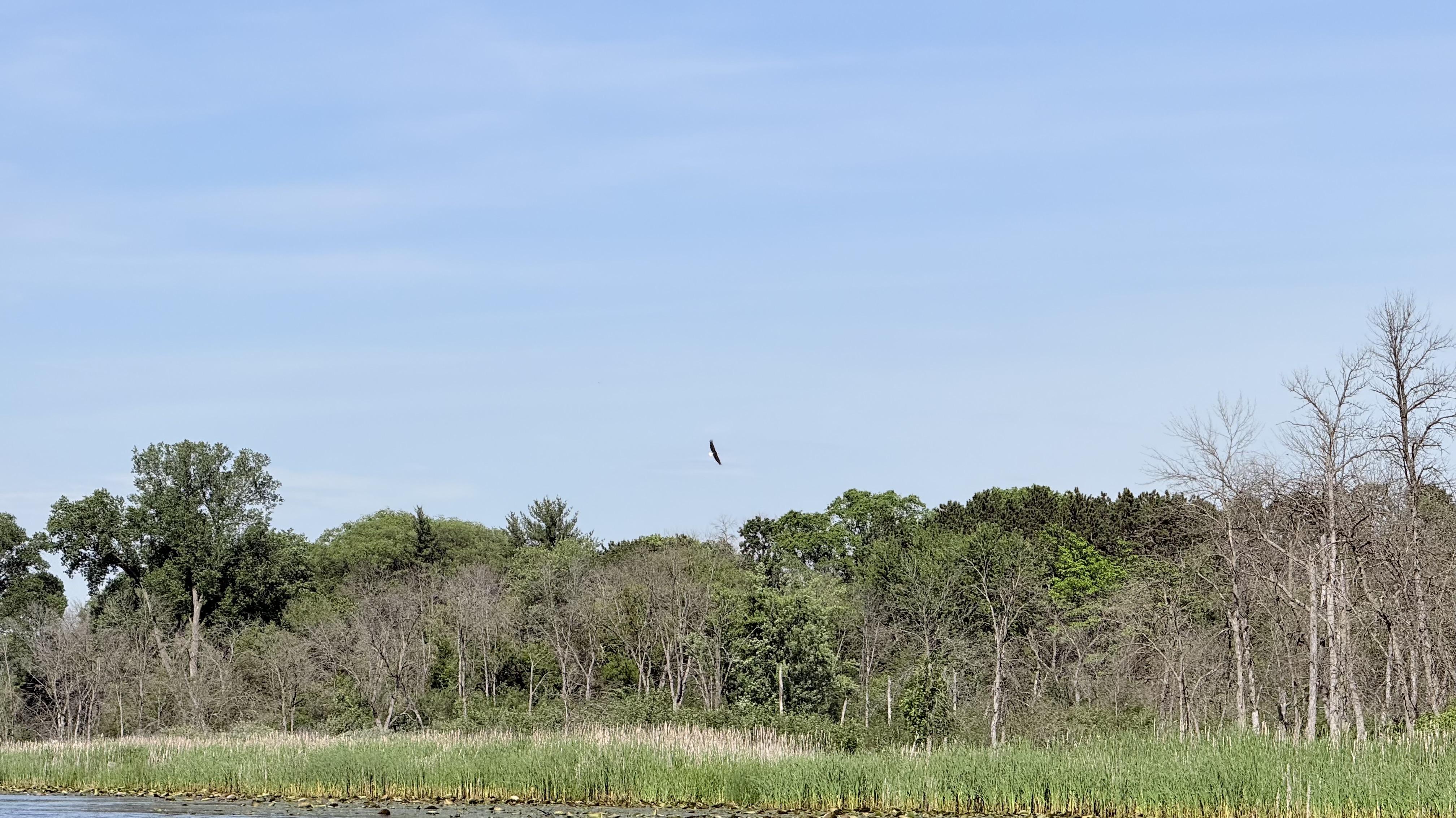
Fox River
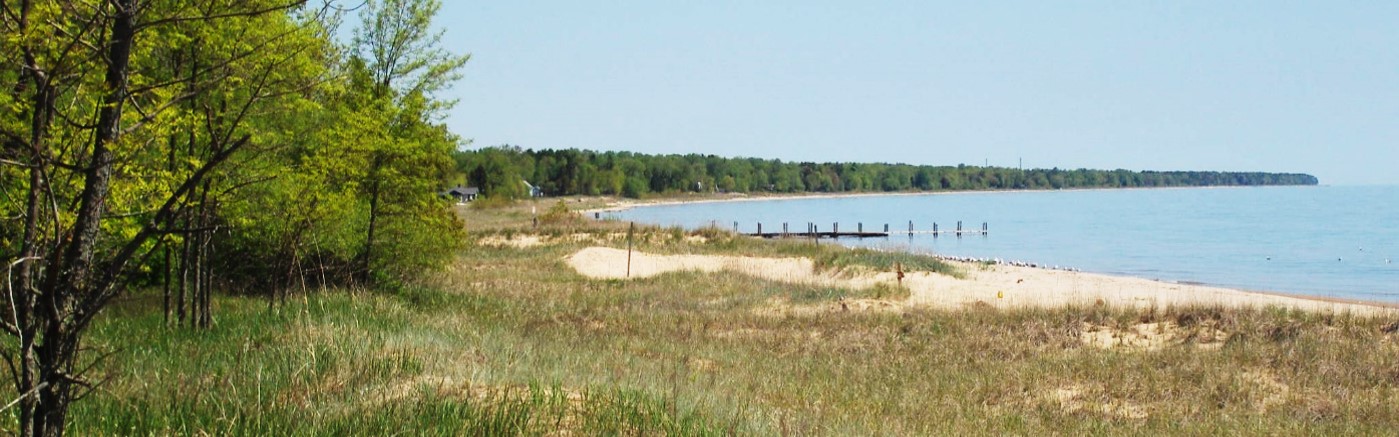
Sheboygan River
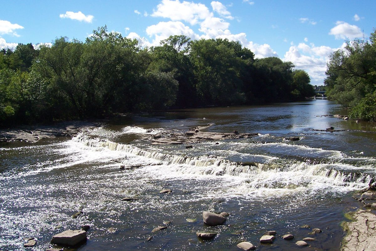
Milwaukee River
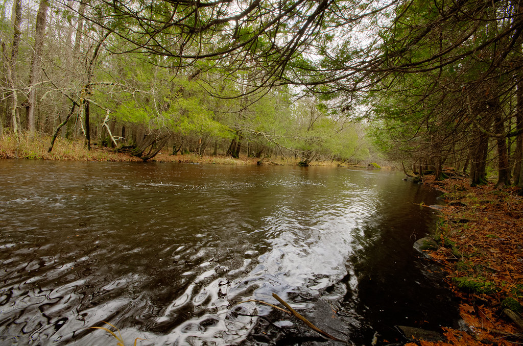
Wolf River
Silver Lake
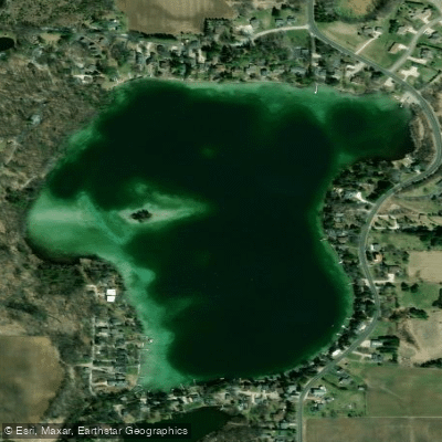
Pigeon Lake
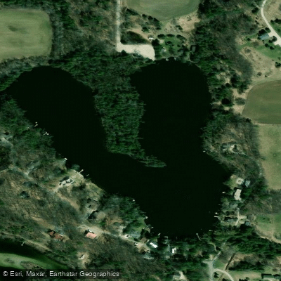
Horseshoe Lake
Explore Wisconsin waters
Top paddling waters
Popular Cities
Loading popular cities...
Explore near Manitowoc River
Access points
Nearby waters
More in Wisconsin

Smarter Paddling Starts in the App.
Paddleways gives you everything you need to plan smarter, paddle better, and own every trip from first launch to takeout.