Curated by PaddleWays
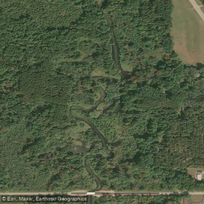
RouteClass I–II
- Distance
- 2.6 mi
- Paddle time
- ~1 hr
- Best for
- Intermediate paddlers
- Put-in → take-out
- Highway Y → 14th Avenue
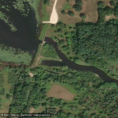
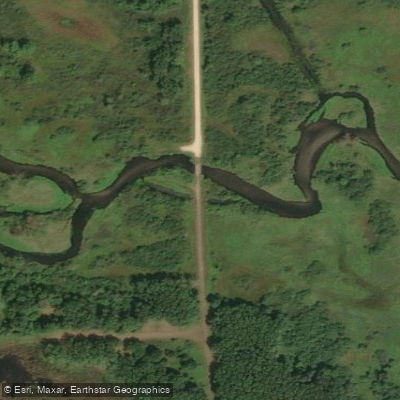
Downed trees along the route
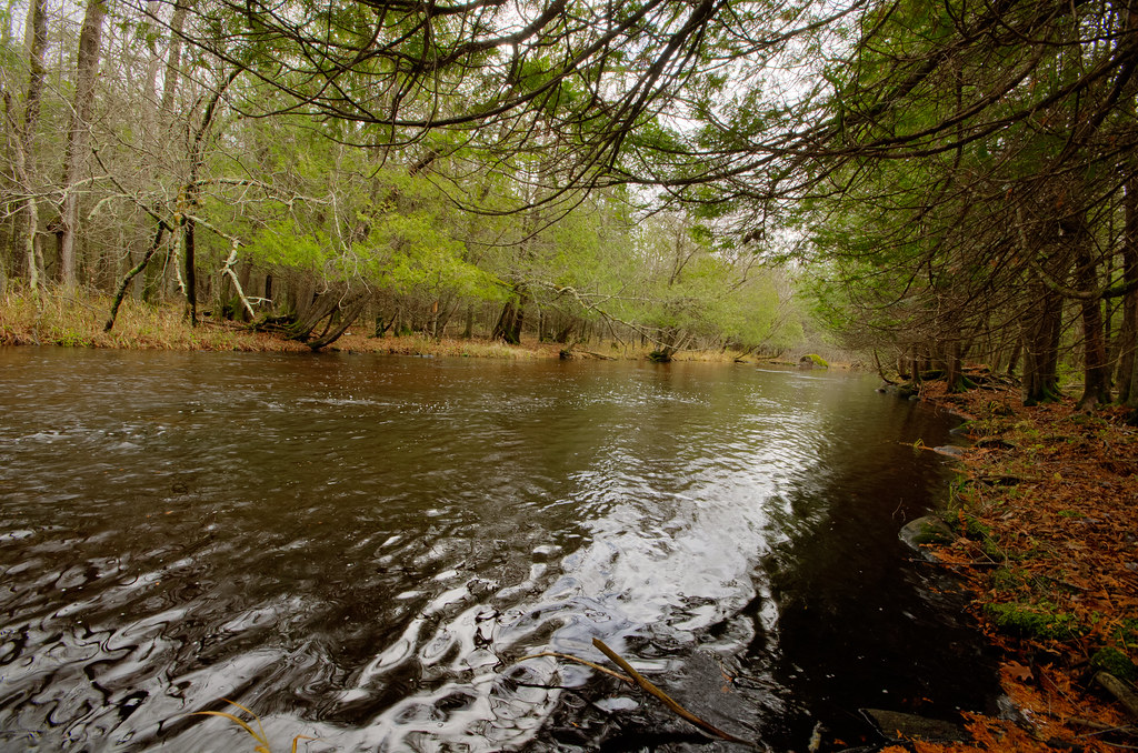
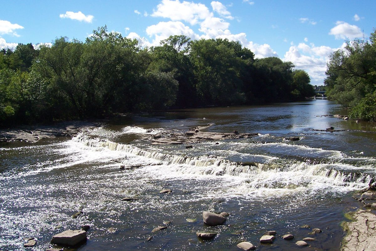
The Mecan River is a scenic waterway in central Wisconsin, originating from springs northeast of Coloma and flowing generally southeast for about 30 miles before joining the Fox River near Princeton. This spring-fed stream is renowned for its crystal-clear waters, making it a favorite among paddlers and anglers alike. The river offers a variety of paddling experiences, from its narrow, swift upper reaches to wider, calmer sections downstream. Popular segments include the upper stretch from Mecan River Springs to 11th Road, the middle section from Dakota to Dixie Avenue, and the lower portion from Dixie Avenue to Highway 22. The difficulty ranges from Class I to II, with some challenging rapids in the upper sections and more leisurely paddling downstream.
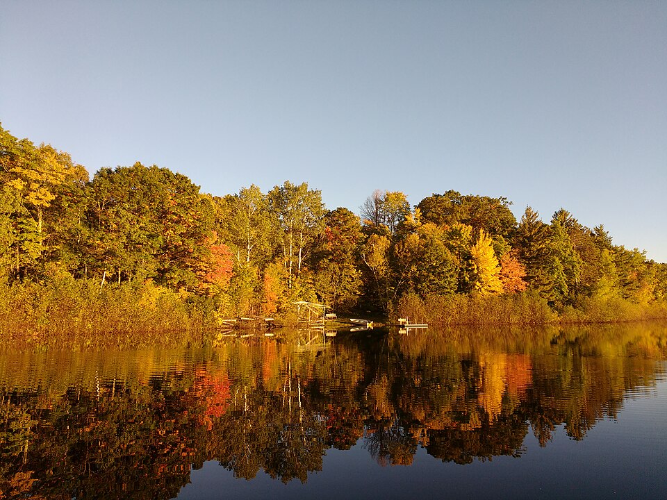
Skill requirements vary by section, but generally, the Mecan is suitable for intermediate paddlers comfortable with swift water and occasional obstacles. The upper reaches require more technical skills to navigate tight turns and potential logjams, while the lower sections are more forgiving for beginners. Spring and early summer typically offer the best water levels for paddling, though the river's spring-fed nature keeps it relatively consistent year-round. Fall can be particularly beautiful with the changing colors of the surrounding forest.
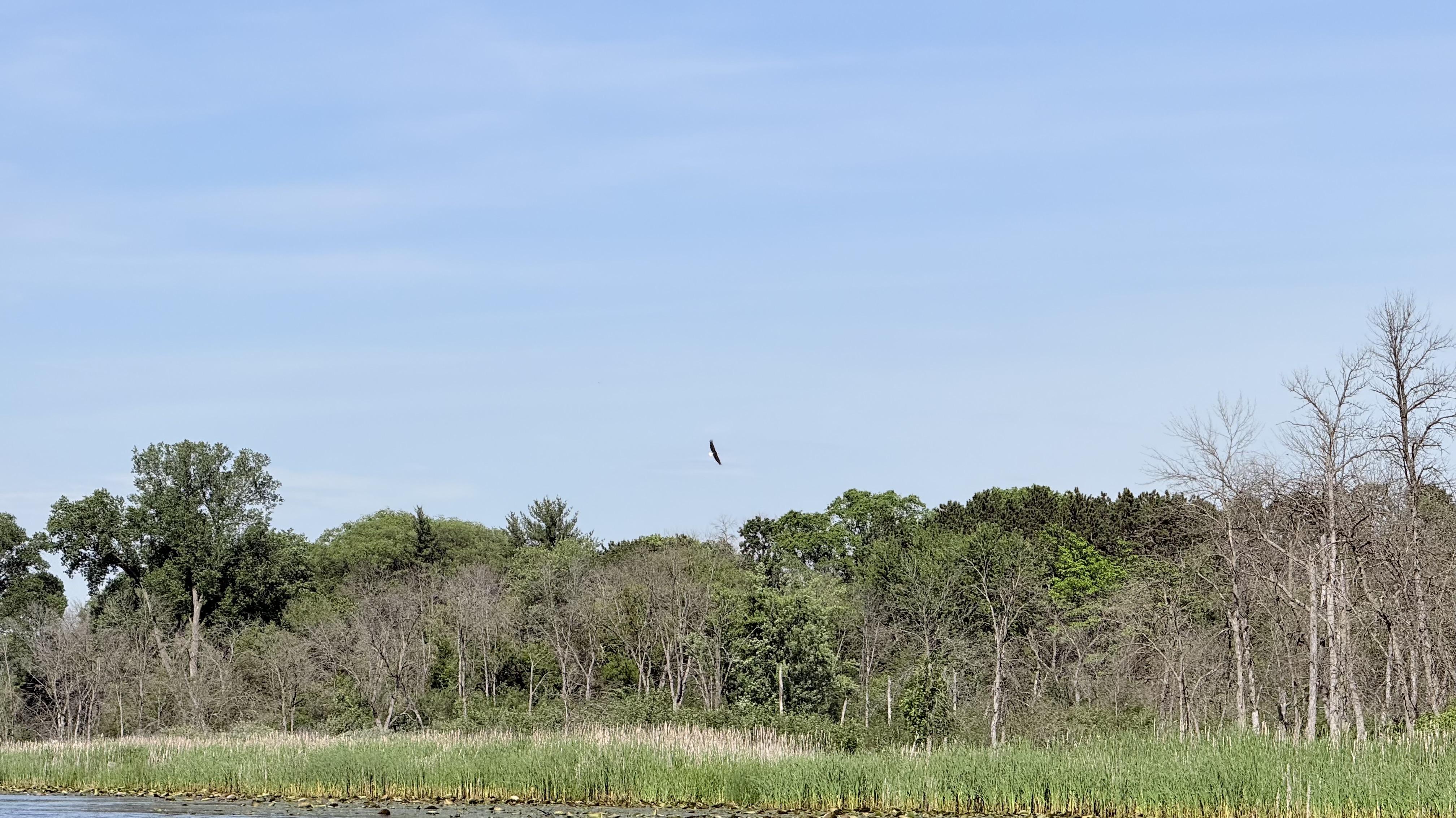
The Mecan flows through a diverse ecosystem, with white pines and tamaracks lining much of the shoreline. Wildlife enthusiasts may spot deer, various bird species, and potentially even otters or mink. The river is also known for its excellent trout fishing. Key landmarks include the Germania Marsh, several historic bridges, and the confluence with Chaffee Creek. Access points are numerous, with popular put-ins at 11th Road, County Road Y in Dakota, and Dixie Avenue. The nearby towns of Coloma, Wautoma, and Princeton offer services for paddlers.
Historically, the Mecan River played a role in the region's logging industry and early settlement. Today, it's valued for its recreational opportunities and as an important ecological resource. Safety considerations include being prepared for swift water in the upper sections, watching for downed trees, and respecting private property along the shores. An electric fish barrier near Germania Marsh requires a portage. While most trips on the Mecan are day paddles, multi-day adventures are possible by combining sections or continuing onto the Fox River.
The river's pristine nature and varied character make it a gem among Wisconsin's paddling destinations, offering something for both thrill-seekers and those seeking a peaceful float through beautiful natural surroundings.
Curated routes
Hand-picked by the PaddleWays team, with put-ins, take-outs, paddle times and the hazards along the way.
RouteClass I–II
RouteFlatwater
RouteFlatwater
RouteClass I–II
RouteClass I–II
Hazards
No paddler has reported a hazard here yet, so these are the dams, falls and big rapids on our map. Hazards change with flows and storms, so check them before you launch.
From the community
Nobody has shared a trip on Mecan River yet. Paddle it, then tell the next paddler how it went.
See exactly where the public can get on and off the river. Launch points and boat ramps are paired with PaddleWays' public land data so you know where you can legally land.
Public shoreline
39%of the river's shoreline is public
Most of the riverbank is private. Launch, land and camp only at public access points.
Flows, weather and a route-by-route verdict, so you know which stretch of the Mecan River is worth paddling today.
No forecast data available.
Live flows, marked hazards and fresh trip reports from paddlers who were just on the water, all in one place.





Every user gets free access to launch points, boat ramps, and public property parcels.

Loading popular cities...
PaddleWays gives you everything you need to plan smarter, paddle better, and own every trip from first launch to takeout.